Santa Rosa Valley is a rural unincorporated community, named after the eponymous valley in which it lies, located in Ventura County, California, United States. For statistical purposes, the United States Census Bureau has defined Santa Rosa Valley as a census-designated place (CDP). The census definition of the area may not precisely correspond to local understanding of the area with the same name. The 2010 United States census reported Santa Rosa Valley’s population was 3,334. Santa Rosa Valley sits at an elevation of 433 feet (132 m).
It lies within the County of Ventura north of Newbury Park, between Thousand Oaks and Camarillo. Norwegian Grade, which was constructed by the Norwegian Colony, connects Santa Rosa Valley to Thousand Oaks, while it may be reached from Santa Rosa Road in Camarillo.
The Santa Rosa Valley lies right north of the Conejo Valley and along the Arroyo Santa Rosa and Arroyo Conejo. Most of the area consists of agricultural lands and it is home to a variety of wildlife such as bobcats, gray foxes, mule deer, coyotes, and more. The valley is likely the habitat for more than one Mountain lion, and lions are relatively often observed here. Immediately to the south is the Conejo Canyons Open Space, with trails leading to the Arroyo Conejo Nature Preserve (La Branca) and Hill Canyon, and the community also borders Mount Clef Ridge and Wildwood Regional Park to the south.
Santa Rosa Valley was home to a Chumash village in pre-colonial times, known as Šumpaši, which was located by Conejo Creek.
| Name: | Santa Rosa Valley CDP |
|---|---|
| LSAD Code: | 57 |
| LSAD Description: | CDP (suffix) |
| State: | California |
| County: | Ventura County |
| Elevation: | 433 ft (132 m) |
| Total Area: | 6.861 sq mi (17.769 km²) |
| Land Area: | 6.861 sq mi (17.769 km²) |
| Water Area: | 0 sq mi (0 km²) 0% |
| Total Population: | 3,334 |
| Population Density: | 490/sq mi (190/km²) |
| FIPS code: | 0670130 |
| GNISfeature ID: | 2585444 |
Online Interactive Map
Click on ![]() to view map in "full screen" mode.
to view map in "full screen" mode.
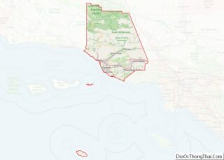
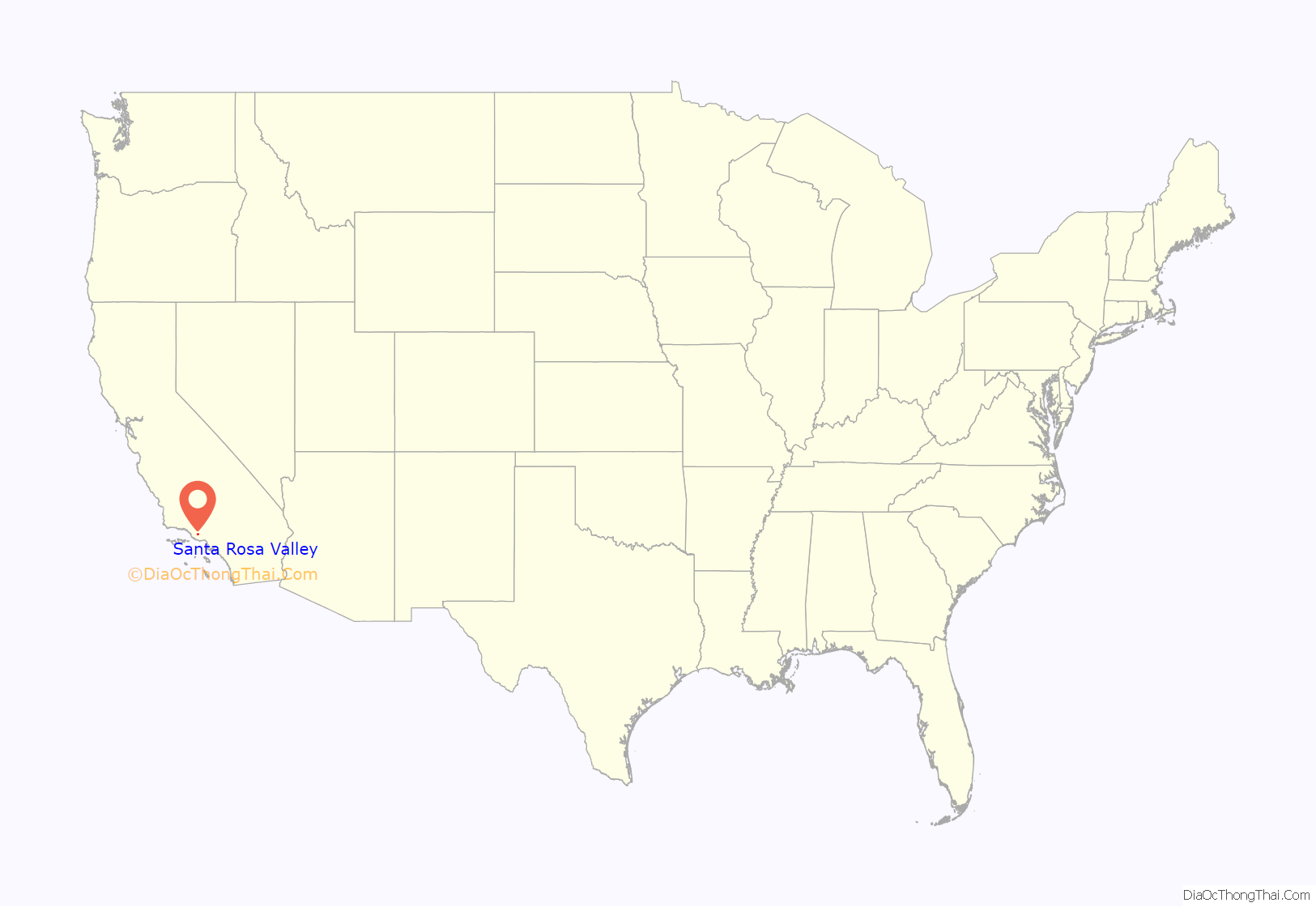
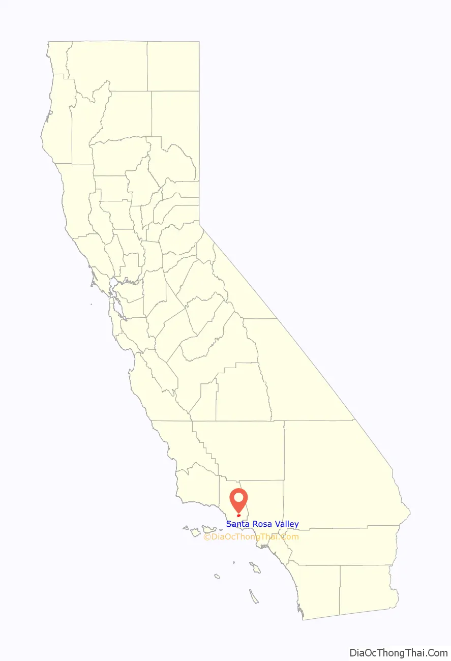
Santa Rosa Valley location map. Where is Santa Rosa Valley CDP?
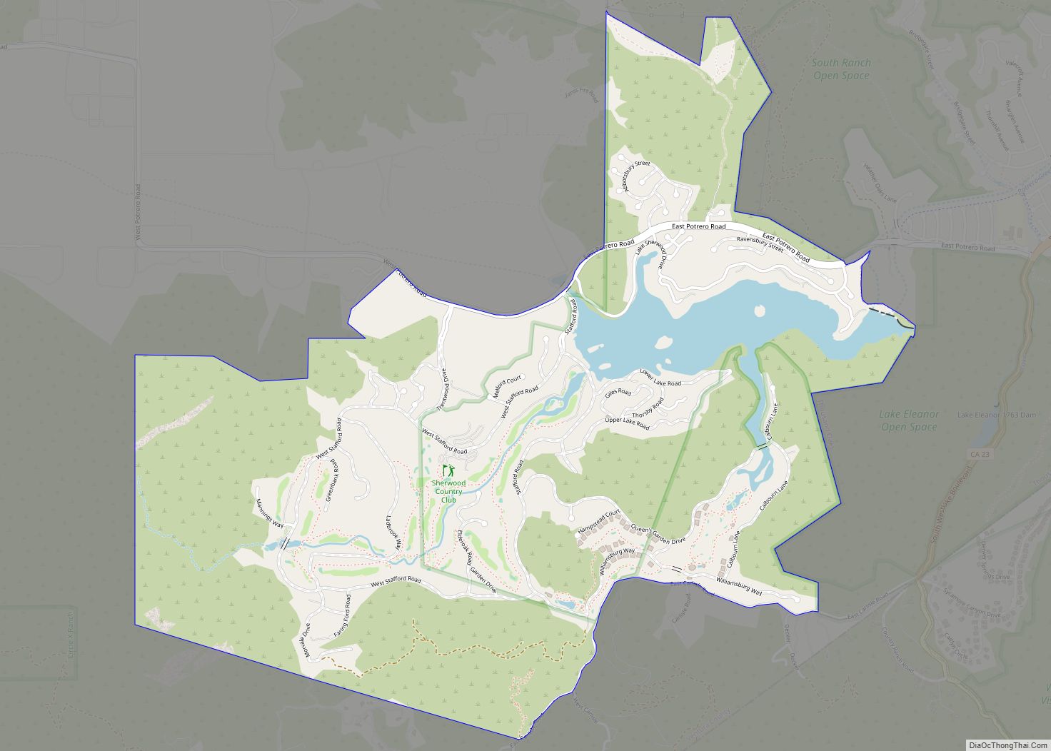
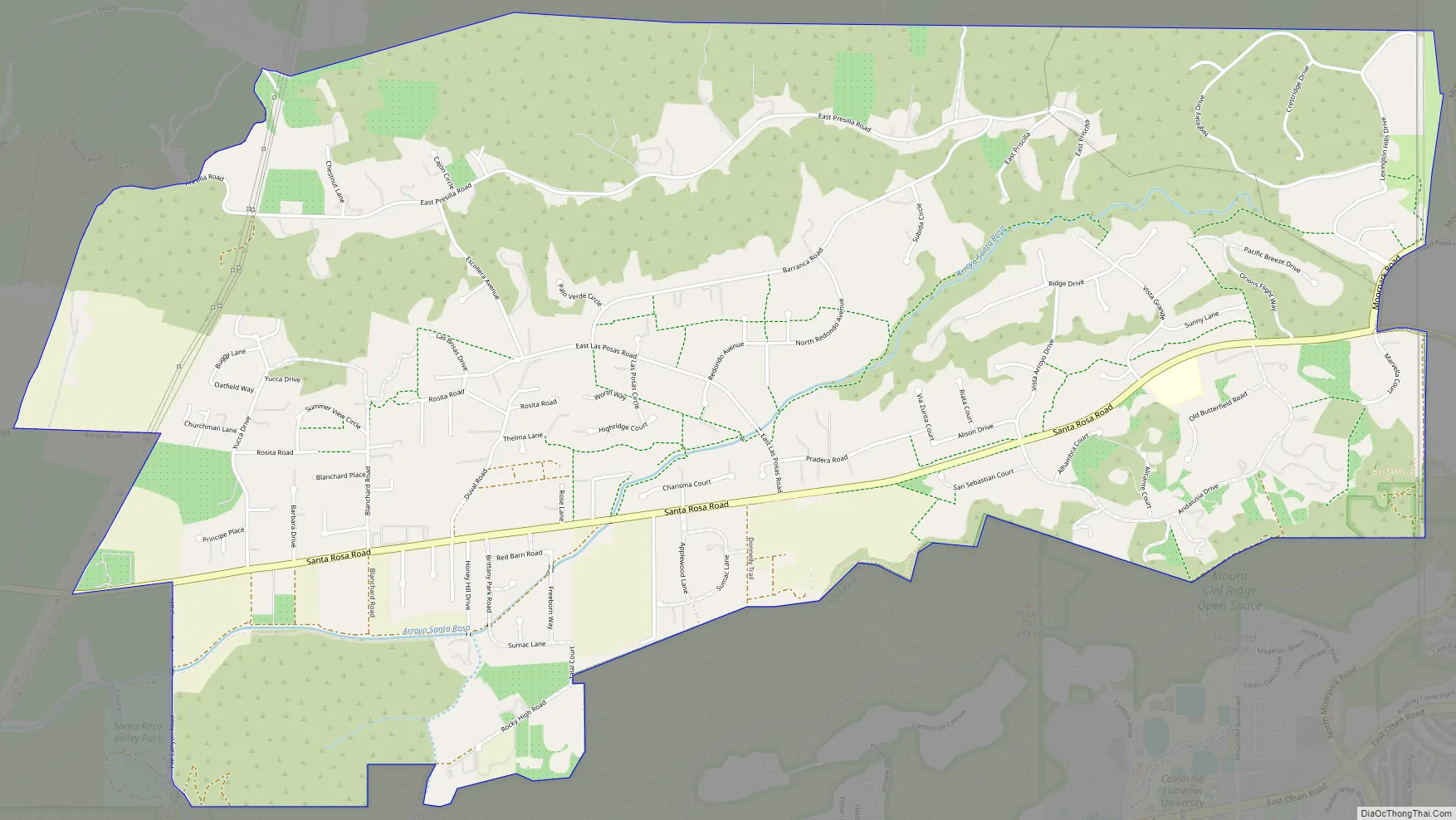
Santa Rosa Valley Road Map
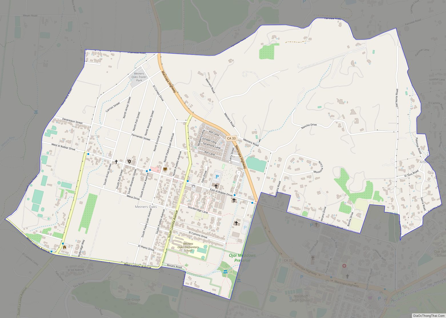
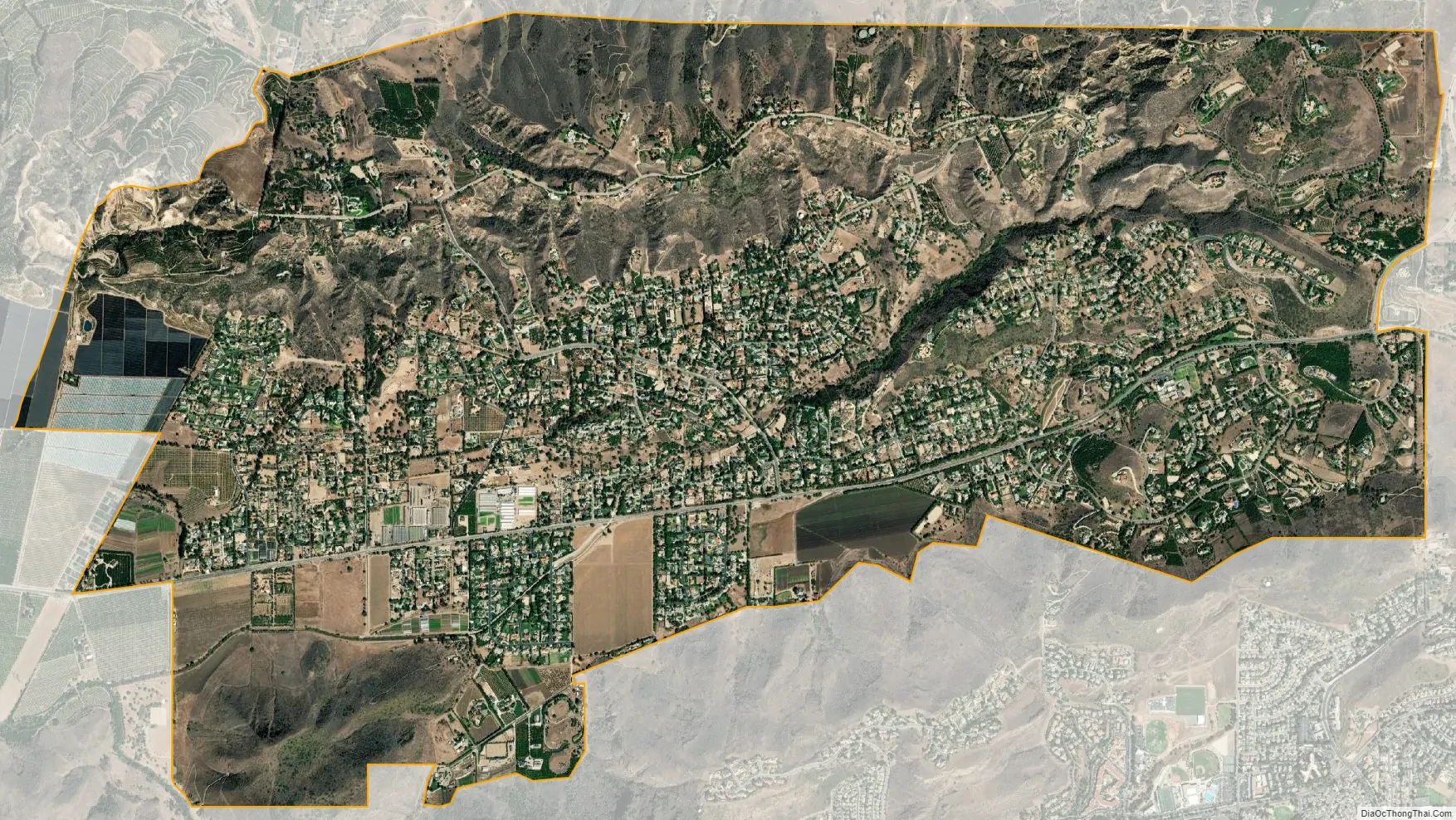
Santa Rosa Valley city Satellite Map
Geography
According to the United States Census Bureau, the CDP covers an area of 6.9 square miles (17.8 km), all of it land.
See also
Map of California State and its subdivision:- Alameda
- Alpine
- Amador
- Butte
- Calaveras
- Colusa
- Contra Costa
- Del Norte
- El Dorado
- Fresno
- Glenn
- Humboldt
- Imperial
- Inyo
- Kern
- Kings
- Lake
- Lassen
- Los Angeles
- Madera
- Marin
- Mariposa
- Mendocino
- Merced
- Modoc
- Mono
- Monterey
- Napa
- Nevada
- Orange
- Placer
- Plumas
- Riverside
- Sacramento
- San Benito
- San Bernardino
- San Diego
- San Francisco
- San Joaquin
- San Luis Obispo
- San Mateo
- Santa Barbara
- Santa Clara
- Santa Cruz
- Shasta
- Sierra
- Siskiyou
- Solano
- Sonoma
- Stanislaus
- Sutter
- Tehama
- Trinity
- Tulare
- Tuolumne
- Ventura
- Yolo
- Yuba
- Alabama
- Alaska
- Arizona
- Arkansas
- California
- Colorado
- Connecticut
- Delaware
- District of Columbia
- Florida
- Georgia
- Hawaii
- Idaho
- Illinois
- Indiana
- Iowa
- Kansas
- Kentucky
- Louisiana
- Maine
- Maryland
- Massachusetts
- Michigan
- Minnesota
- Mississippi
- Missouri
- Montana
- Nebraska
- Nevada
- New Hampshire
- New Jersey
- New Mexico
- New York
- North Carolina
- North Dakota
- Ohio
- Oklahoma
- Oregon
- Pennsylvania
- Rhode Island
- South Carolina
- South Dakota
- Tennessee
- Texas
- Utah
- Vermont
- Virginia
- Washington
- West Virginia
- Wisconsin
- Wyoming