Sequoia Crest is a census-designated place (CDP) in Tulare County, California.The community of Sequoia Crest contains more than 150 Giant Sequoias scattered throughout the subdivision. Sequoia Crest sits at an elevation of 7,008 feet (2,136 m). The 2020 United States census reported Sequoia Crest’s population was 24, up from 10 at the 2010 census. Sequoia Crest can be reached from Porterville by 41 curvy miles most on California State Route 190 with an elevation gain of 6,549 feet.
| Name: | Sequoia Crest CDP |
|---|---|
| LSAD Code: | 57 |
| LSAD Description: | CDP (suffix) |
| State: | California |
| County: | Tulare County |
| Elevation: | 7,008 ft (2,136 m) |
| Total Area: | 1.022 sq mi (2.647 km²) |
| Land Area: | 1.022 sq mi (2.647 km²) |
| Water Area: | 0 sq mi (0 km²) 0% |
| Total Population: | 24 |
| Population Density: | 23/sq mi (9.1/km²) |
| FIPS code: | 0670966 |
| GNISfeature ID: | 2585447 |
Online Interactive Map
Click on ![]() to view map in "full screen" mode.
to view map in "full screen" mode.
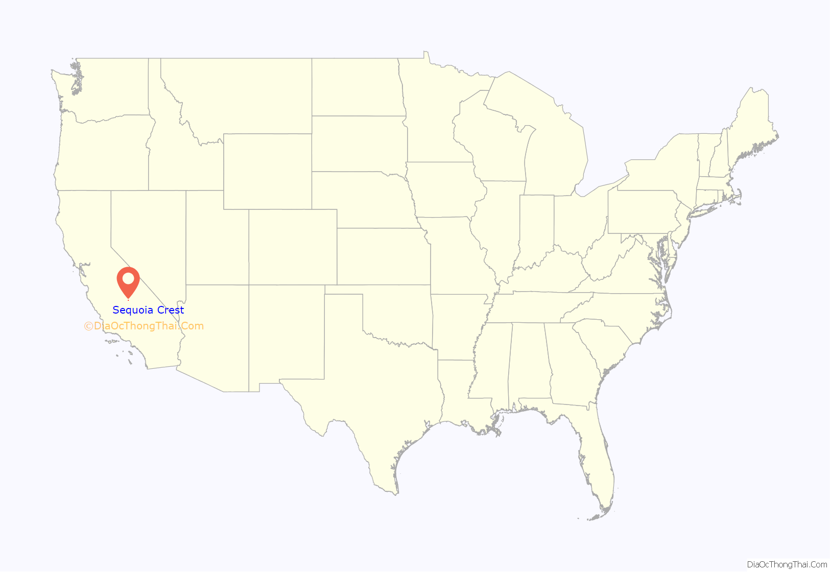
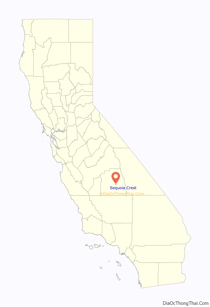
Sequoia Crest location map. Where is Sequoia Crest CDP?
History
Before California became a state, the Yokuts Indians made summer camp in nearby Hossack Meadow.
The one-square-mile section that includes Sequoia Crest was created as a “school section” first purchased for $1.25 an acre under the “Timber and Stone Act of 1878”. School sections were sections of land sold by the government to finance the construction and operation of schools in the late 1800s. The “school section” was about 20 acres (8.1 ha) larger than the standard survey section of one square mile. In 1944 the section was purchased by Claud Rouch as a potential timber and logging operation. His son “Sonny” Rouch built the first road into Sequoia Crest to facilitate logging operations after WWII. Rouch took out an estimated 40 million board feet of timber. However, he did not harvest Giant Sequoias, leaving them for future generations to admire.
The Sequoia Crest subdivision began in 1955 on 200 of the 670 acres (270 ha) of the section. A water system was developed by Rouch and serves all properties within the subdivision. Approximately 100 homes have been constructed to date.
Stagg Tree and Alder Grove acquisition
On December 30, 2019, Save The Redwoods completed the purchase of the Alder Grove containing the Stagg Tree with the intent of eventually donating the property to the Giant Sequoia National Monument. The Stagg Tree is the fifth-largest Giant Sequoia, as measured by trunk volume. The Stagg Tree, formerly the largest Giant Sequoia on private land, is accessible to visitors at the intersection of Alder Drive and Redwood Drive.
Sequoia Complex Fire
On September 13, 2020, nearly half of the homes in Sequoia Crest burned down in the SQF Complex / Castle Fire. According to Tulare County records, 49 houses were completely destroyed, 2 were damaged, and 56 sustained no damage. Infrastructure and utility buildings were also damaged or destroyed. In the nearby communities of Alpine Village and Cedar Slope, 37 homes and 57 houses were destroyed by the fire, respectively, with only a few homes left standing. The Alder Creek Grove of sequoias (where Sequoia Crest is located) was heavily damaged, about one-third of it severely. The Stagg Tree was not impacted by the fire.
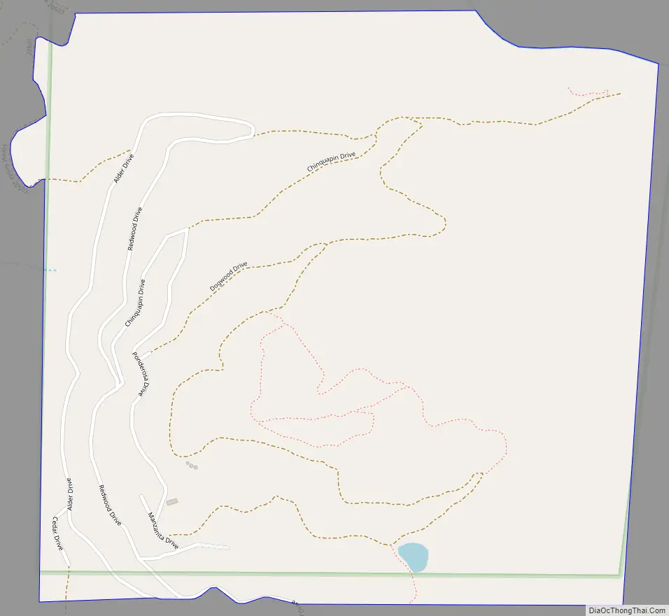
Sequoia Crest Road Map
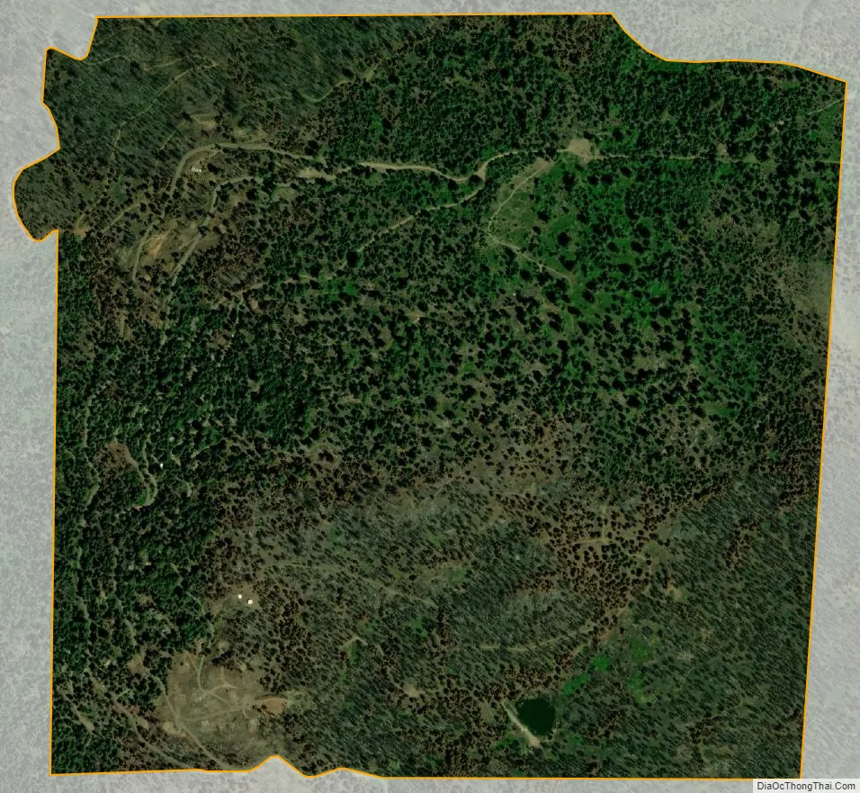
Sequoia Crest city Satellite Map
Geography
Sequoia Crest is surrounded on all sides by the Giant Sequoia National Monument, Sequoia National Forest and the Golden Trout Wilderness. Wildlife—such as bears, mountain lions, foxes, coyotes and other animals common to the wilderness—are often seen passing through the area.
According to the United States Census Bureau, the CDP covers an area of 1.0 square miles (2.6 km), all of it land.
Climate
Sequoia Crest is the only residential subdivision located entirely within a Sequoia Grove (the Alder Creek Grove). The subdivision lies at an altitude of between 6500–7000 feet. Snow falls frequently in winter and contributes to the annual High Sierra snowpack. Summers are mild, but like all Sierra communities sudden changes in weather, including hail or snow, may occur at any time.
See also
Map of California State and its subdivision:- Alameda
- Alpine
- Amador
- Butte
- Calaveras
- Colusa
- Contra Costa
- Del Norte
- El Dorado
- Fresno
- Glenn
- Humboldt
- Imperial
- Inyo
- Kern
- Kings
- Lake
- Lassen
- Los Angeles
- Madera
- Marin
- Mariposa
- Mendocino
- Merced
- Modoc
- Mono
- Monterey
- Napa
- Nevada
- Orange
- Placer
- Plumas
- Riverside
- Sacramento
- San Benito
- San Bernardino
- San Diego
- San Francisco
- San Joaquin
- San Luis Obispo
- San Mateo
- Santa Barbara
- Santa Clara
- Santa Cruz
- Shasta
- Sierra
- Siskiyou
- Solano
- Sonoma
- Stanislaus
- Sutter
- Tehama
- Trinity
- Tulare
- Tuolumne
- Ventura
- Yolo
- Yuba
- Alabama
- Alaska
- Arizona
- Arkansas
- California
- Colorado
- Connecticut
- Delaware
- District of Columbia
- Florida
- Georgia
- Hawaii
- Idaho
- Illinois
- Indiana
- Iowa
- Kansas
- Kentucky
- Louisiana
- Maine
- Maryland
- Massachusetts
- Michigan
- Minnesota
- Mississippi
- Missouri
- Montana
- Nebraska
- Nevada
- New Hampshire
- New Jersey
- New Mexico
- New York
- North Carolina
- North Dakota
- Ohio
- Oklahoma
- Oregon
- Pennsylvania
- Rhode Island
- South Carolina
- South Dakota
- Tennessee
- Texas
- Utah
- Vermont
- Virginia
- Washington
- West Virginia
- Wisconsin
- Wyoming


