Shafter is a city in Kern County, California, United States. It is located 18 miles (29 km) west-northwest of Bakersfield. The population was 16,988 at the 2010 census, up from 12,736 at the 2000 census. The city is located along State Route 43. Suburbs of Shafter include Myricks Corner, North Shafter, Smith Corner, and Thomas Lane.
| Name: | Shafter city |
|---|---|
| LSAD Code: | 25 |
| LSAD Description: | city (suffix) |
| State: | California |
| County: | Kern County |
| Incorporated: | January 20, 1938 |
| Elevation: | 348 ft (106 m) |
| Total Area: | 38.72 sq mi (100.29 km²) |
| Land Area: | 38.72 sq mi (100.29 km²) |
| Water Area: | 0.00 sq mi (0.00 km²) 0% |
| Total Population: | 16,988 |
| Population Density: | 526.84/sq mi (203.41/km²) |
| ZIP code: | 93263 |
| Area code: | 661 |
| FIPS code: | 0671106 |
| Website: | www.shafter.com |
Online Interactive Map
Click on ![]() to view map in "full screen" mode.
to view map in "full screen" mode.
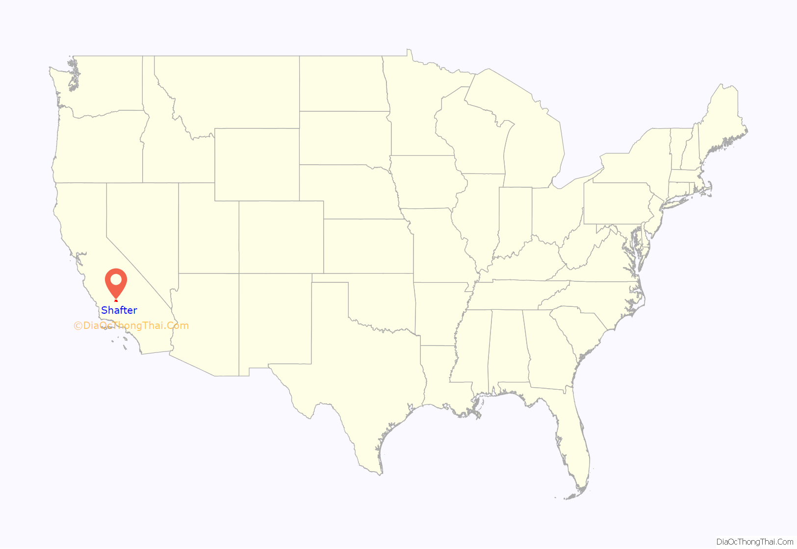
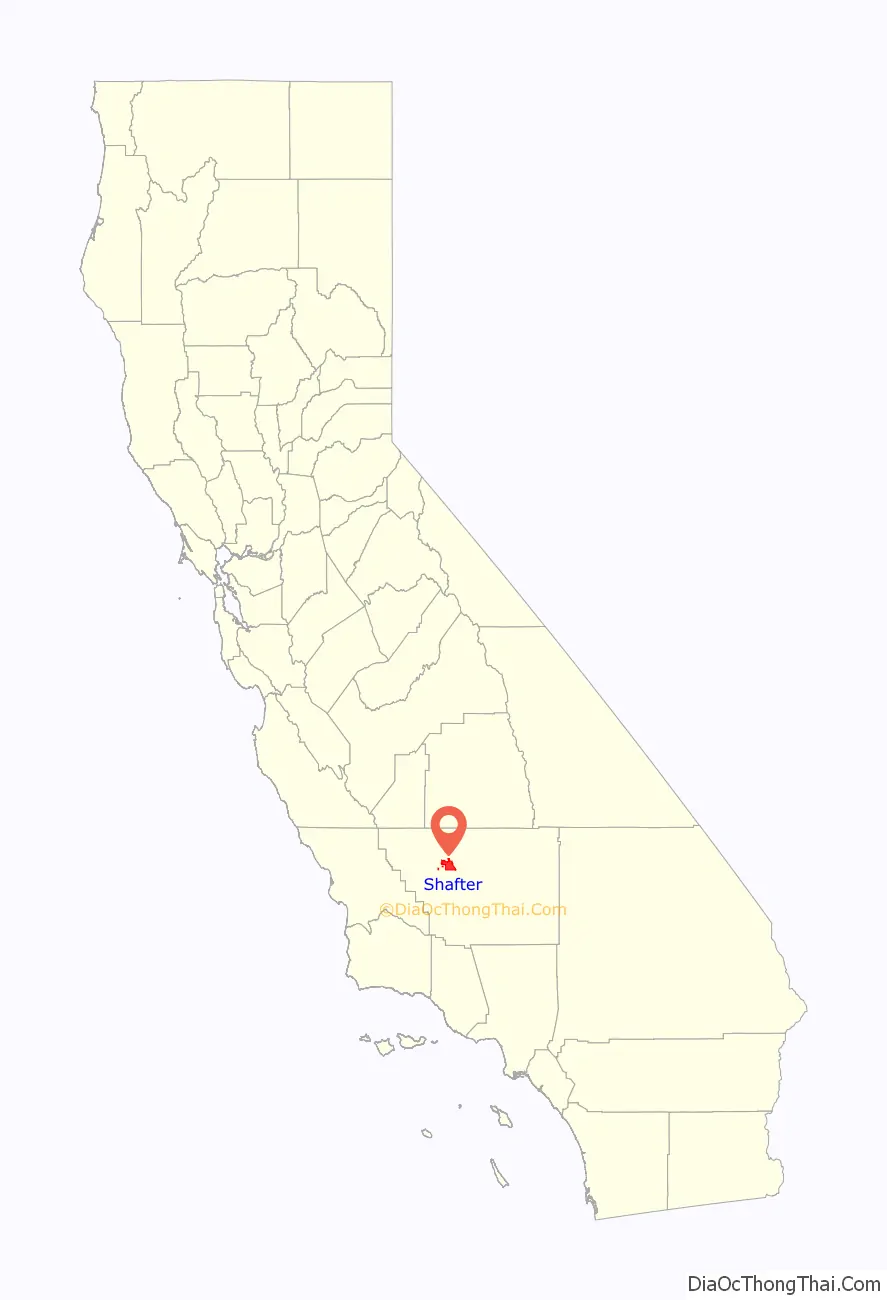
Shafter location map. Where is Shafter city?
History
The city of Shafter began as a loading dock along the Santa Fe Railroad (former San Francisco and San Joaquin Valley Railroad) right-of-way. The community was named for General William Rufus Shafter who commanded US Forces in Cuba during the Spanish–American War. Property was sold beginning in 1914 and the city incorporated on January 11, 1938.
The first post office opened in 1898, moved in 1902, closed in 1905. A new postal service started in 1914.
Shafter is home to Minter Field, which began operations in June 1941 and saw heavy use during World War II. Approximately 7,000 troops were stationed at the airstrip which hosted up to 600 prisoners of war as well. It is publicly owned and administered by the Minter Field Airport District and serves as an industrial center and airport for crop dusters and private aircraft. The Minter Field Museum is maintained on location as well.
The first truly successful human powered airplane, the Gossamer Condor, piloted by Bryan Allen won the Kremer prize on August 23, 1977, at Shafter’s Minter Field. Allen piloted, and powered, the Paul MacCready designed airplane along the one mile long figure ‘8’ course with two 10 foot high obstacles as specified by the Royal Aeronautical Society to claim the £50,000 prize. A California State Monument is located at the field for this event.
The Shafter Historical Society maintains two other museums. The Green Hotel and the Shafter Depot Museum emphasize various aspects of the daily lives of Shafter residents in years past; both structures are listed on the National Register of Historic Places.
In 2009, a Shafter High School senior, Anna Jelmini, received the key to the city for placing in the Junior Olympics. She also fell just short of meeting the standards for the 2008 Olympics.
In 2013 Shafter celebrated the 100 year anniversary of its founding. The Centennial Celebration included several events highlighting the history of the town, including a flyover of a PT-13 Training Plane that was stationed at Minter Field during World War II.
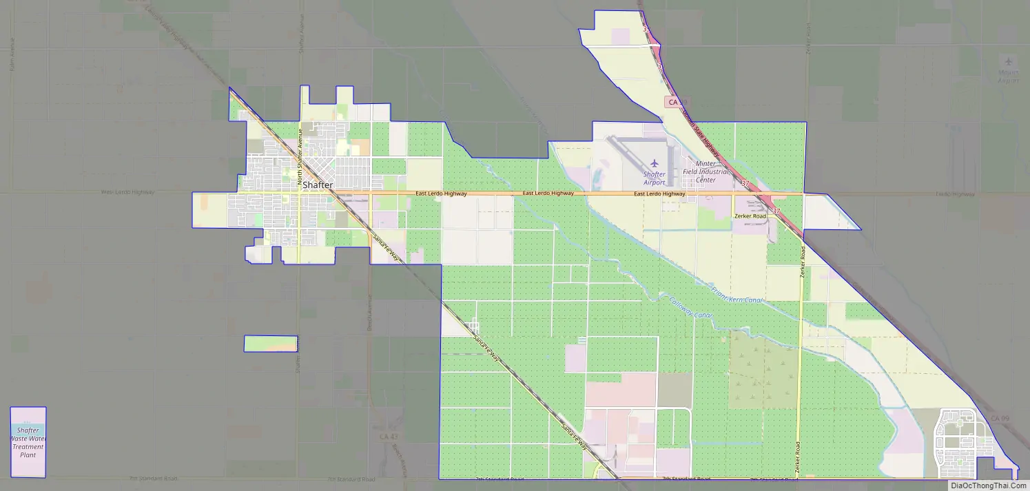
Shafter Road Map
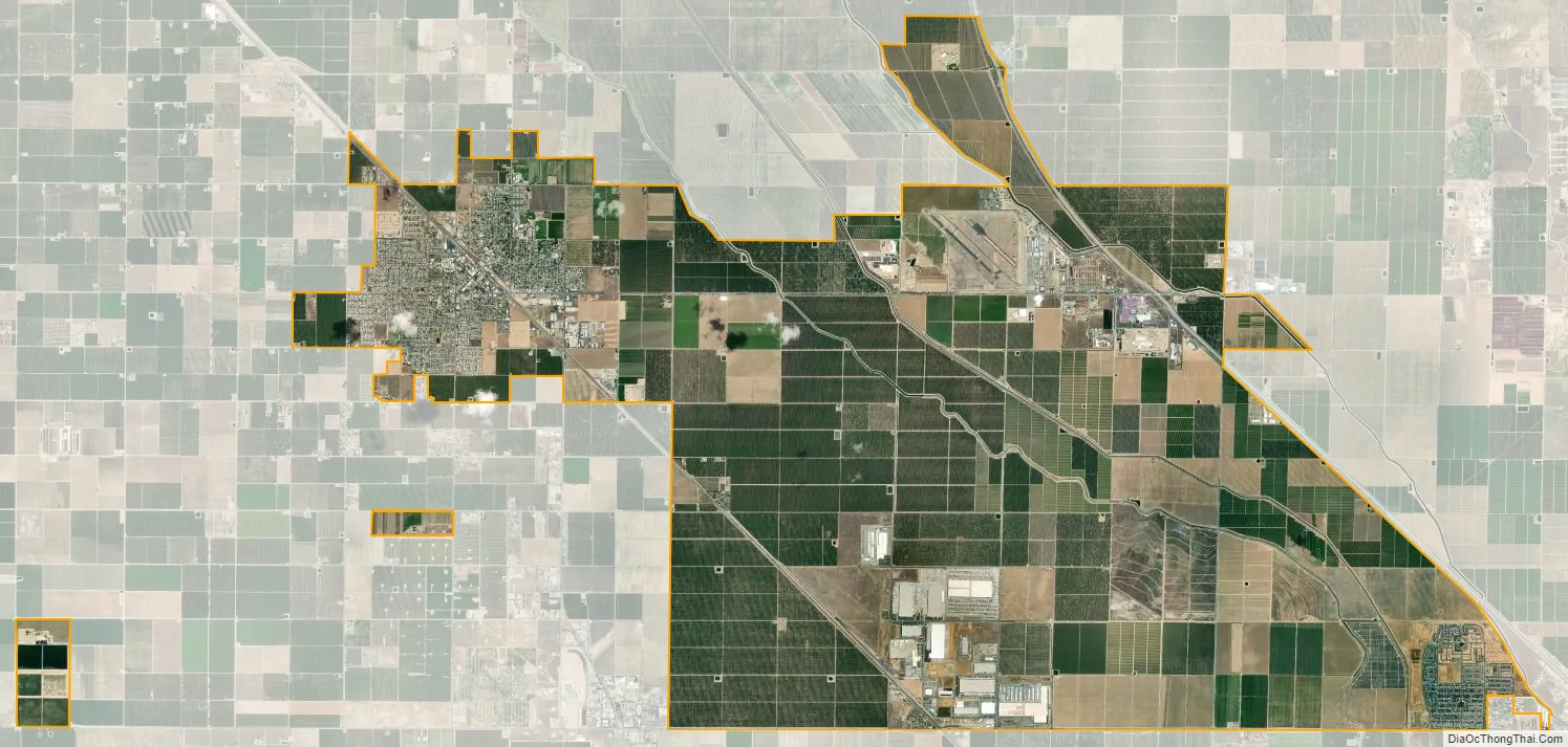
Shafter city Satellite Map
Geography
According to the United States Census Bureau, the city has a total area of 27.9 square miles (72.3 km), all of it land.
Climate
See also
Map of California State and its subdivision:- Alameda
- Alpine
- Amador
- Butte
- Calaveras
- Colusa
- Contra Costa
- Del Norte
- El Dorado
- Fresno
- Glenn
- Humboldt
- Imperial
- Inyo
- Kern
- Kings
- Lake
- Lassen
- Los Angeles
- Madera
- Marin
- Mariposa
- Mendocino
- Merced
- Modoc
- Mono
- Monterey
- Napa
- Nevada
- Orange
- Placer
- Plumas
- Riverside
- Sacramento
- San Benito
- San Bernardino
- San Diego
- San Francisco
- San Joaquin
- San Luis Obispo
- San Mateo
- Santa Barbara
- Santa Clara
- Santa Cruz
- Shasta
- Sierra
- Siskiyou
- Solano
- Sonoma
- Stanislaus
- Sutter
- Tehama
- Trinity
- Tulare
- Tuolumne
- Ventura
- Yolo
- Yuba
- Alabama
- Alaska
- Arizona
- Arkansas
- California
- Colorado
- Connecticut
- Delaware
- District of Columbia
- Florida
- Georgia
- Hawaii
- Idaho
- Illinois
- Indiana
- Iowa
- Kansas
- Kentucky
- Louisiana
- Maine
- Maryland
- Massachusetts
- Michigan
- Minnesota
- Mississippi
- Missouri
- Montana
- Nebraska
- Nevada
- New Hampshire
- New Jersey
- New Mexico
- New York
- North Carolina
- North Dakota
- Ohio
- Oklahoma
- Oregon
- Pennsylvania
- Rhode Island
- South Carolina
- South Dakota
- Tennessee
- Texas
- Utah
- Vermont
- Virginia
- Washington
- West Virginia
- Wisconsin
- Wyoming


