Shandon is a village and census-designated place (CDP) in San Luis Obispo County, California, United States. The population was 1,295 at the 2010 census, up from 986 at the 2000 census. Shandon lies by the San Juan River.
| Name: | Shandon CDP |
|---|---|
| LSAD Code: | 57 |
| LSAD Description: | CDP (suffix) |
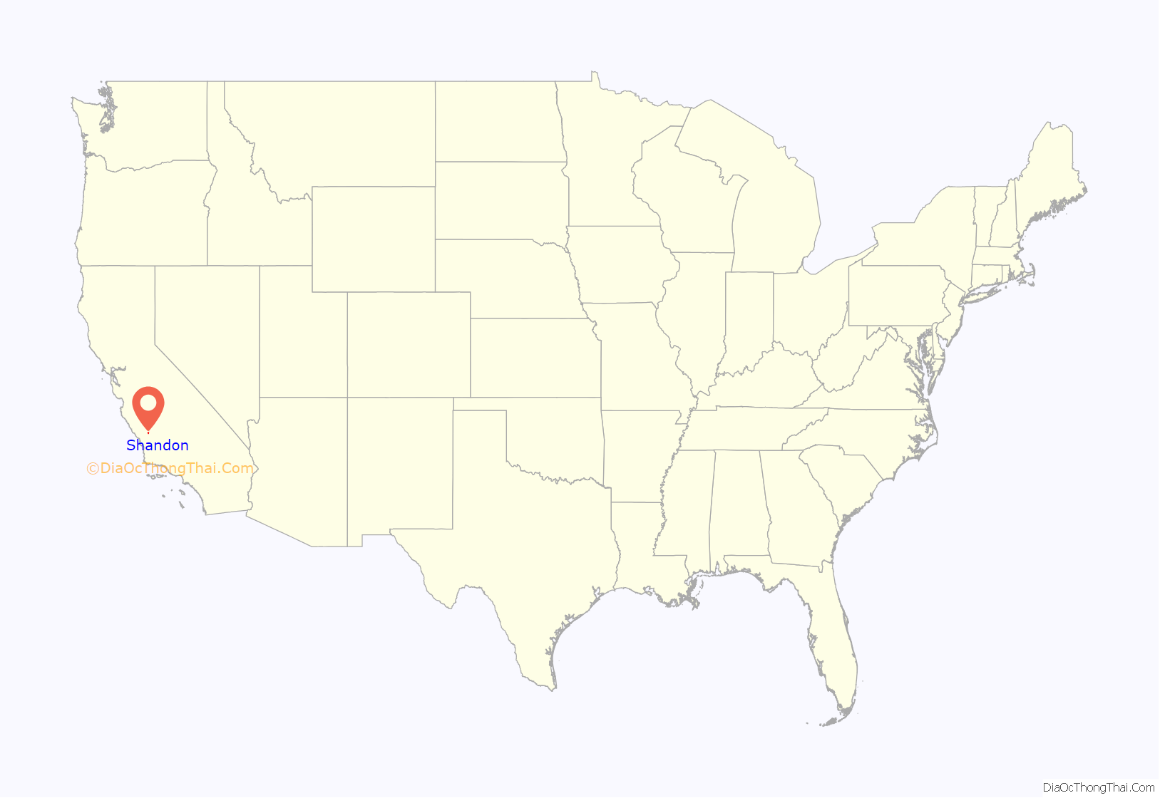
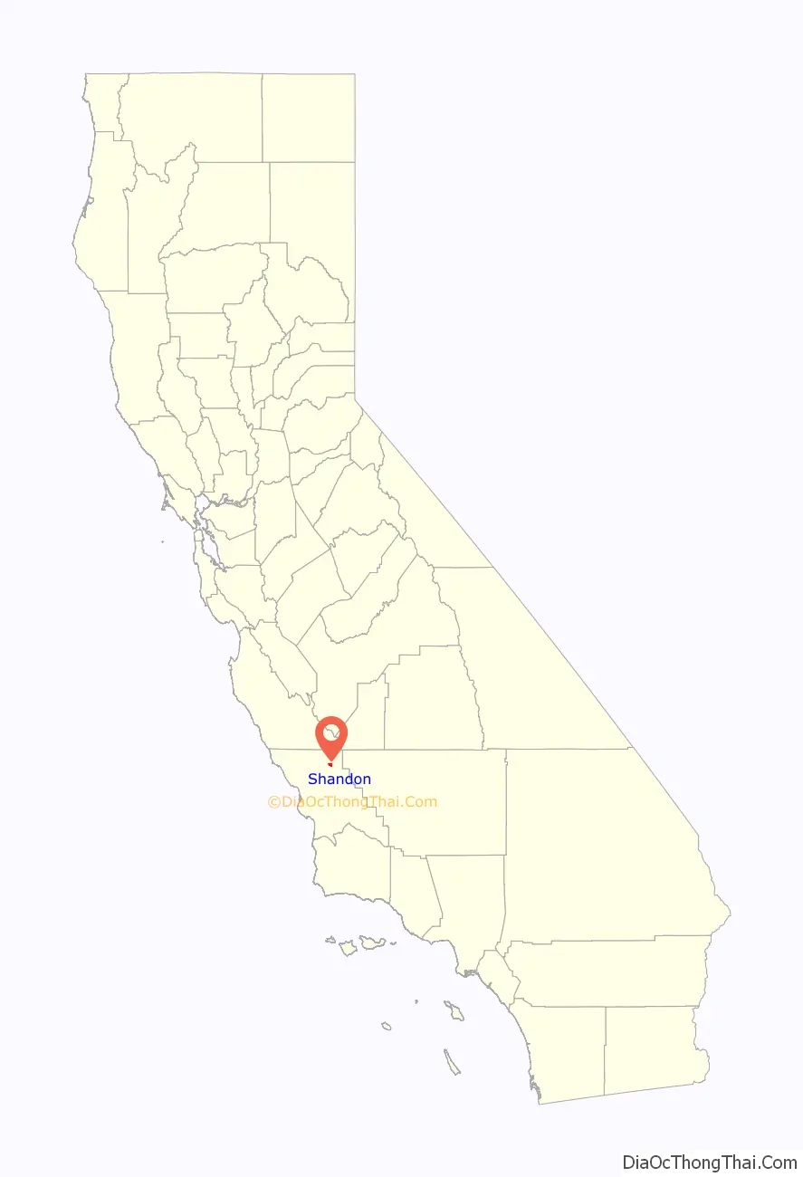
| State: | California |
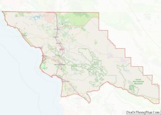
| County: | San Luis Obispo County |
| Elevation: | 1,040 ft (317 m) |
| Total Area: | 2.989 sq mi (7.742 km²) |
| Land Area: | 2.946 sq mi (7.630 km²) |
| Water Area: | 0.043 sq mi (0.112 km²) 1.44% |
| Total Population: | 1,295 |
| Population Density: | 430/sq mi (170/km²) |
| ZIP code: | 93461 |
| Area code: | 805 |
| FIPS code: | 0671134 |
Online Interactive Map
Click on ![]() to view map in "full screen" mode.
to view map in "full screen" mode.
Shandon location map. Where is Shandon CDP?
Shandon Road Map
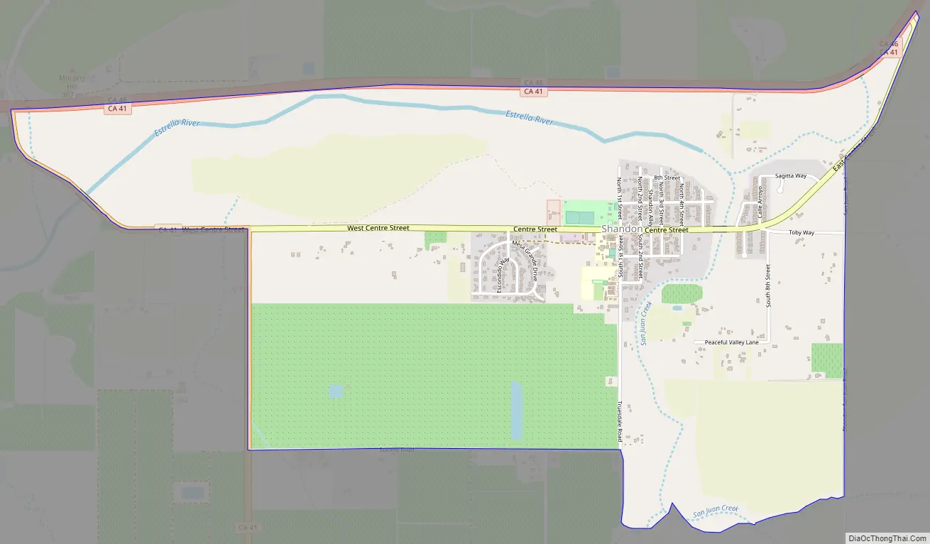
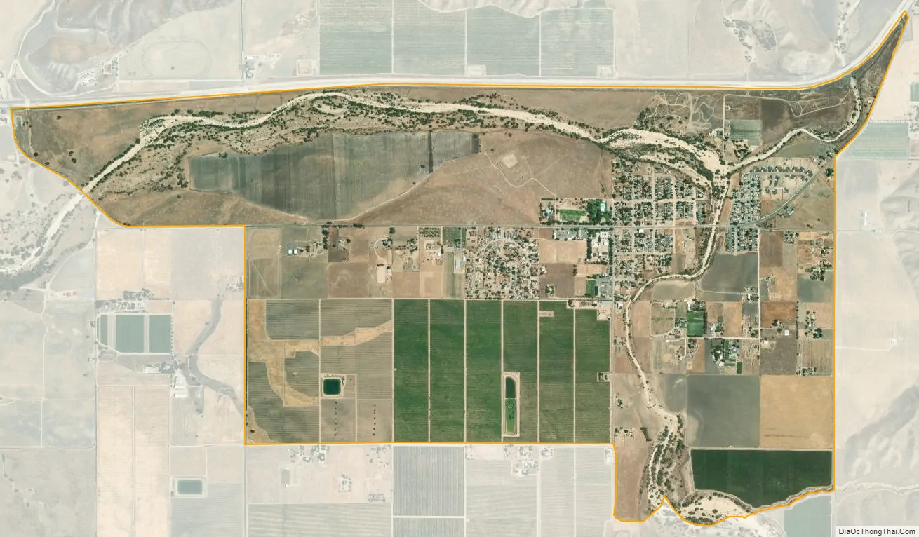
Shandon city Satellite Map
Geography
Shandon is located at the bottom of the San Juan Valley, where San Juan Creek and Cholame Creek come together to form the Estrella River, which flows west to meet the Salinas River north of Paso Robles. Shandon is also at the junction of State Routes 41 and 46, at the southwestern portion of the stretch where the two highways merge for approximately six miles. The San Andreas Fault cuts perpendicular to the highways here, six miles from Shandon.
Shandon is located at 35°39′22″N 120°22′44″W / 35.65611°N 120.37889°W / 35.65611; -120.37889 (35.656178, -120.378817).
According to the United States Census Bureau, the CDP has a total area of 3.0 square miles (7.8 km), 98.56% of it land and 1.44% of it water.
Climate
Shandon experiences a hot-summer Mediterranean climate (Köppen climate classification: Csa), characterized by hot, dry summers and cool, moist winters. Owing to its location inland from the coast, diurnal temperature variation is high, reaching a maximum of 40 °C (104 °F) during summer.
See also
Map of California State and its subdivision:- Alameda
- Alpine
- Amador
- Butte
- Calaveras
- Colusa
- Contra Costa
- Del Norte
- El Dorado
- Fresno
- Glenn
- Humboldt
- Imperial
- Inyo
- Kern
- Kings
- Lake
- Lassen
- Los Angeles
- Madera
- Marin
- Mariposa
- Mendocino
- Merced
- Modoc
- Mono
- Monterey
- Napa
- Nevada
- Orange
- Placer
- Plumas
- Riverside
- Sacramento
- San Benito
- San Bernardino
- San Diego
- San Francisco
- San Joaquin
- San Luis Obispo
- San Mateo
- Santa Barbara
- Santa Clara
- Santa Cruz
- Shasta
- Sierra
- Siskiyou
- Solano
- Sonoma
- Stanislaus
- Sutter
- Tehama
- Trinity
- Tulare
- Tuolumne
- Ventura
- Yolo
- Yuba
- Alabama
- Alaska
- Arizona
- Arkansas
- California
- Colorado
- Connecticut
- Delaware
- District of Columbia
- Florida
- Georgia
- Hawaii
- Idaho
- Illinois
- Indiana
- Iowa
- Kansas
- Kentucky
- Louisiana
- Maine
- Maryland
- Massachusetts
- Michigan
- Minnesota
- Mississippi
- Missouri
- Montana
- Nebraska
- Nevada
- New Hampshire
- New Jersey
- New Mexico
- New York
- North Carolina
- North Dakota
- Ohio
- Oklahoma
- Oregon
- Pennsylvania
- Rhode Island
- South Carolina
- South Dakota
- Tennessee
- Texas
- Utah
- Vermont
- Virginia
- Washington
- West Virginia
- Wisconsin
- Wyoming