The City of Shasta Lake, known as Central Valley or CV prior to incorporation, is a city in Shasta County, California, United States. It is the closest settlement to Shasta Dam and Shasta Lake reservoir, which are popular tourist destinations. Its population is 10,371 as of the 2020 census, up from 10,164 from the 2010 census.
| Name: | Shasta Lake city |
|---|---|
| LSAD Code: | 25 |
| LSAD Description: | city (suffix) |
| State: | California |
| County: | Shasta County |
| Incorporated: | July 2, 1993 |
| Elevation: | 810 ft (246 m) |
| Total Area: | 10.93 sq mi (28.30 km²) |
| Land Area: | 10.92 sq mi (28.29 km²) |
| Water Area: | 0.01 sq mi (0.01 km²) 0.07% |
| Total Population: | 10,371 |
| Population Density: | 950/sq mi (370/km²) |
| ZIP code: | 96019, 96079, 96089 |
| Area code: | 530 |
| FIPS code: | 0671225 |
| GNISfeature ID: | 1662287 |
| Website: | https://www.cityofshastalake.org/ |
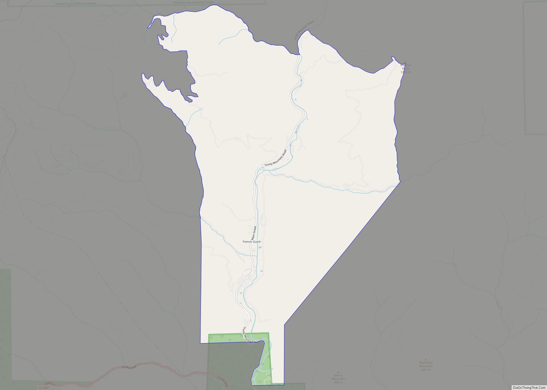
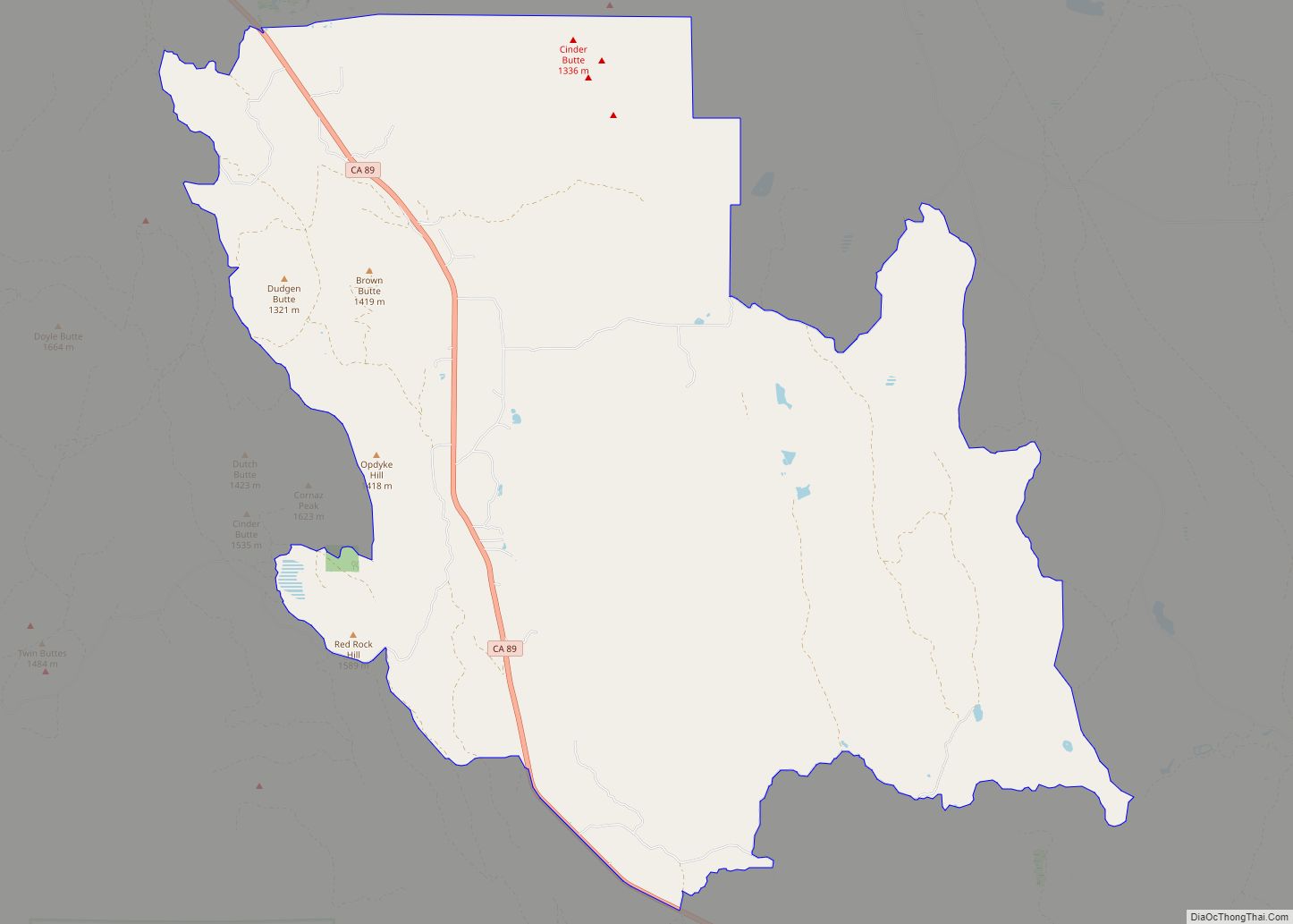
Online Interactive Map
Click on ![]() to view map in "full screen" mode.
to view map in "full screen" mode.
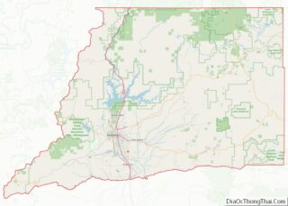
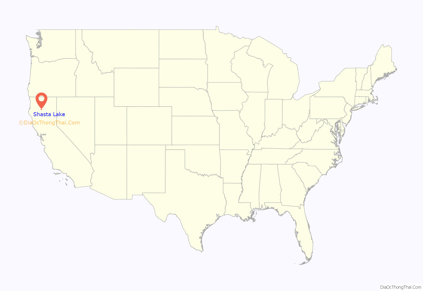
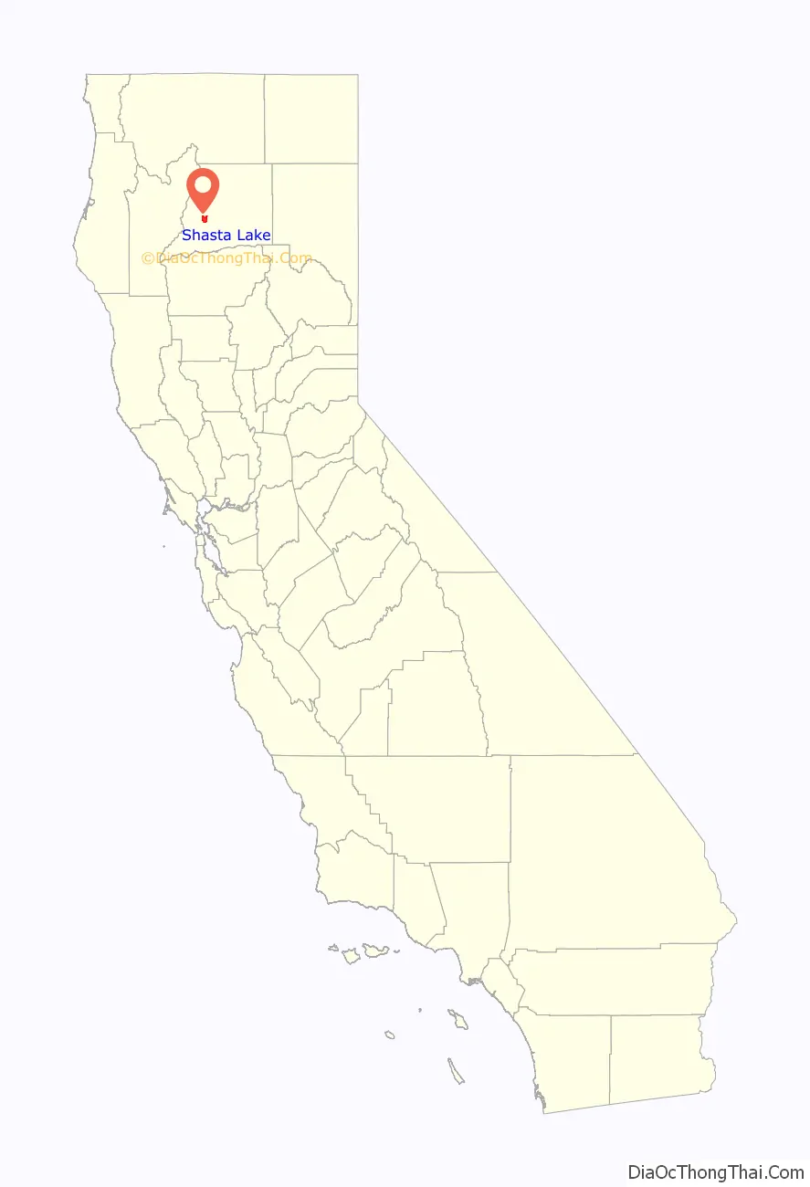
Shasta Lake location map. Where is Shasta Lake city?
History
Shasta Lake City started out as five small communities named Central Valley, Toyon, Project City, Pine Grove, and Summit City, all of which came about with the beginning of construction of Shasta Dam in 1938. Project City was built at the intersection of U.S. Route 99 and Shasta Dam Boulevard, a larger Central Valley at a midpoint on Shasta Dam Blvd., Summit City at the intersection of Shasta Dam Boulevard and Lake Boulevard, and Pine Grove at what today is the intersection of Interstate 5 and Pine Grove Avenue.
Toyon
The Bureau of Reclamation built the town of Toyon, first called Government Camp. Toyon was the premier community, built on 41 acres (17 hectares) of what was once the Seaman Ranch. By 1950 Toyon had two tennis courts, an outdoor basketball court, a Community Center, green lawns, concrete side walks, commercial water and power from Shasta Dam, its own sewage treatment plant, and its own landfill. Initially, Toyon also had two large dormitories for bachelor employees. All the residents of Toyon worked for the US Bureau of Reclamation. Bureau headquarters office and maintenance facilities were located on Kenneth Ave, parallel to Shasta Dam Blvd.
All bureau employees were forced to vacate Toyon by the end of 1964 when the facility was turned over to the Job Corps as a work camp as a part of President Lyndon Johnson’s Great Society. The Job Corps supervision ended in 1972. Toyon was subsequently occupied by local Native Americans who hoped to stake claim and have Toyon recognized as tribal lands; this did not occur. Water and electric power were turned off after the Native Americans failed to pay a $28,000 utility bill. Conflicts between law enforcement and the occupying Native Americans continued, and a large number of the homes burned to the ground. The historic Seaman Ranch Community House and the large USBR headquarters building also burned to the ground in this era. Today, one metal storage building and the flagpole are the only remaining structures other than overgrown streets and sidewalks. The site is fenced off from Shasta Dam Blvd.
The workers at Shasta Dam built these communities because land was cheap and most families needed a low cost home while working on the dam. Later on, Central Valley became the commercial hub of workers on Shasta Dam. Initially, there was no water supply for these new communities, and attempts at digging wells produced very limited water supplies.
When oil production slowed down in the 70s Redding surpassed Central Valley in population in 1965? when it incorporated the community of Enterprise.?)The population figures in 1980 were Central Valley at 3,424, Project City at 1,659, and Summit City at 1,139. Talks of Incorporation spread in 1993 and incorporation became a reality on July 2, 1993, when 60% of the communities’ people voted for incorporation.
A new McDonald’s, Burger King inside the Chevron station, and several gas stations and a few motels encompass the area of the Shasta Dam Hwy and Interstate 5 interchange. These were all built around 2000 and several more fast food outlets and motels are planned for this interchange. Starbucks recently opened up, right next to Rite Aid and then closed a few months thereafter.
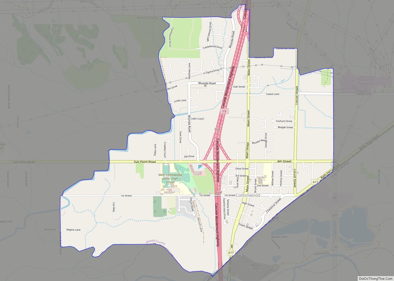
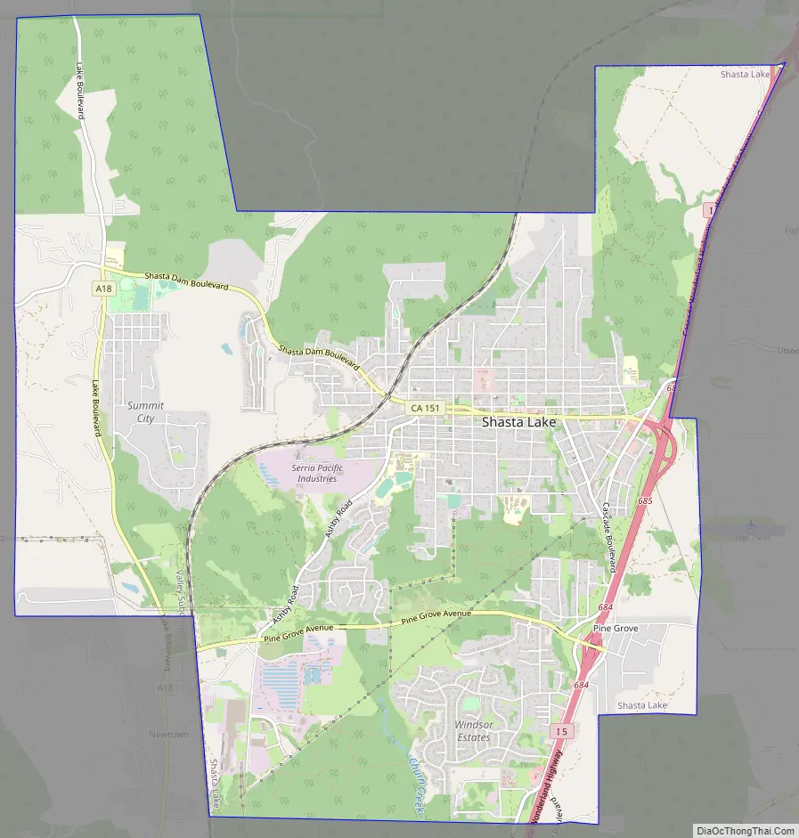
Shasta Lake Road Map
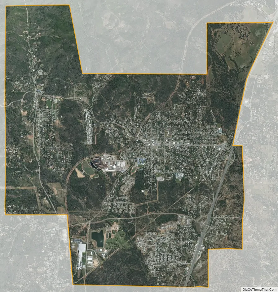
Shasta Lake city Satellite Map
Geography
Shasta Lake is located at 40°40′41″N 122°22′12″W / 40.67806°N 122.37000°W / 40.67806; -122.37000 (40.678167, -122.370003).
According to the United States Census Bureau, the city has a total area of 10.9 square miles (28 km), 99.93% of it land and 0.07% of it covered by water.
See also
Map of California State and its subdivision:- Alameda
- Alpine
- Amador
- Butte
- Calaveras
- Colusa
- Contra Costa
- Del Norte
- El Dorado
- Fresno
- Glenn
- Humboldt
- Imperial
- Inyo
- Kern
- Kings
- Lake
- Lassen
- Los Angeles
- Madera
- Marin
- Mariposa
- Mendocino
- Merced
- Modoc
- Mono
- Monterey
- Napa
- Nevada
- Orange
- Placer
- Plumas
- Riverside
- Sacramento
- San Benito
- San Bernardino
- San Diego
- San Francisco
- San Joaquin
- San Luis Obispo
- San Mateo
- Santa Barbara
- Santa Clara
- Santa Cruz
- Shasta
- Sierra
- Siskiyou
- Solano
- Sonoma
- Stanislaus
- Sutter
- Tehama
- Trinity
- Tulare
- Tuolumne
- Ventura
- Yolo
- Yuba
- Alabama
- Alaska
- Arizona
- Arkansas
- California
- Colorado
- Connecticut
- Delaware
- District of Columbia
- Florida
- Georgia
- Hawaii
- Idaho
- Illinois
- Indiana
- Iowa
- Kansas
- Kentucky
- Louisiana
- Maine
- Maryland
- Massachusetts
- Michigan
- Minnesota
- Mississippi
- Missouri
- Montana
- Nebraska
- Nevada
- New Hampshire
- New Jersey
- New Mexico
- New York
- North Carolina
- North Dakota
- Ohio
- Oklahoma
- Oregon
- Pennsylvania
- Rhode Island
- South Carolina
- South Dakota
- Tennessee
- Texas
- Utah
- Vermont
- Virginia
- Washington
- West Virginia
- Wisconsin
- Wyoming