Shingletown is a census-designated place (CDP) in Shasta County, California, United States. Its population is 2,442 as of the 2020 census, up from 2,283 from the 2010 census.
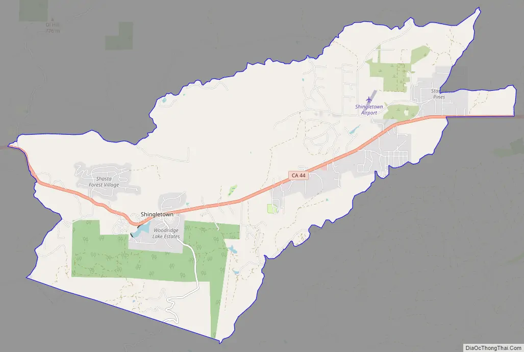
Shingletown is a small town located along California State Route 44 in the hills just below Mount Lassen. Shingletown has a history of logging large timber, including pine, fir and cedar. It is also known as “The Gateway to Lassen”.
Shingletown was originally named Shingle Camp, for the workers who cut roofing slats from timber to supply miners during the Gold Rush era.
| Name: | Shingletown CDP |
|---|---|
| LSAD Code: | 57 |
| LSAD Description: | CDP (suffix) |
| State: | California |
| County: | Shasta County |
| Elevation: | 3,468 ft (1,064 m) |
| Total Area: | 24.719 sq mi (64.021 km²) |
| Land Area: | 24.650 sq mi (63.844 km²) |
| Water Area: | 0.069 sq mi (0.178 km²) 0.28% |
| Total Population: | 2,442 |
| Population Density: | 99/sq mi (38/km²) |
| ZIP code: | 96088 |
| Area code: | 530 |
| FIPS code: | 0671568 |
| GNISfeature ID: | 1659646 |
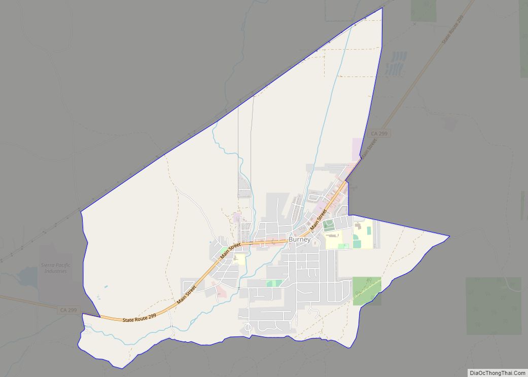
Online Interactive Map
Click on ![]() to view map in "full screen" mode.
to view map in "full screen" mode.
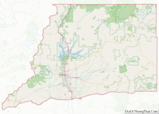
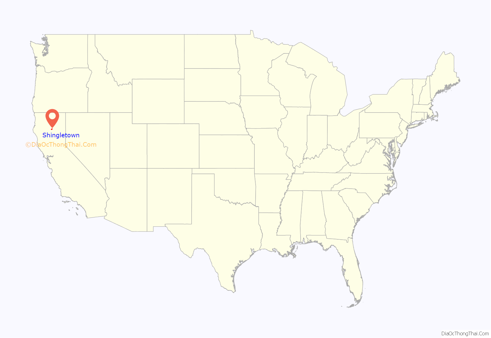
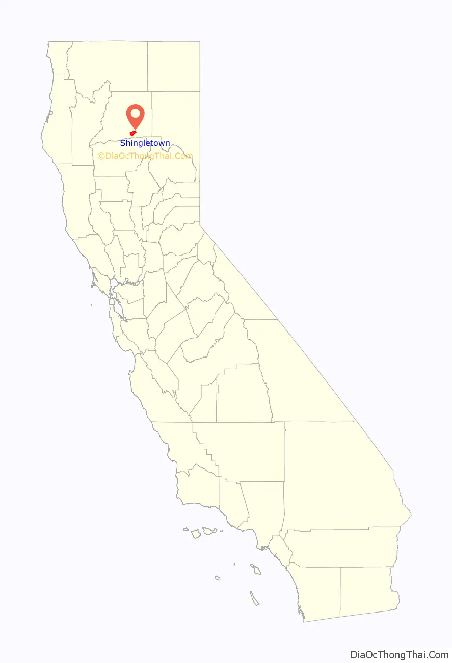
Shingletown location map. Where is Shingletown CDP?
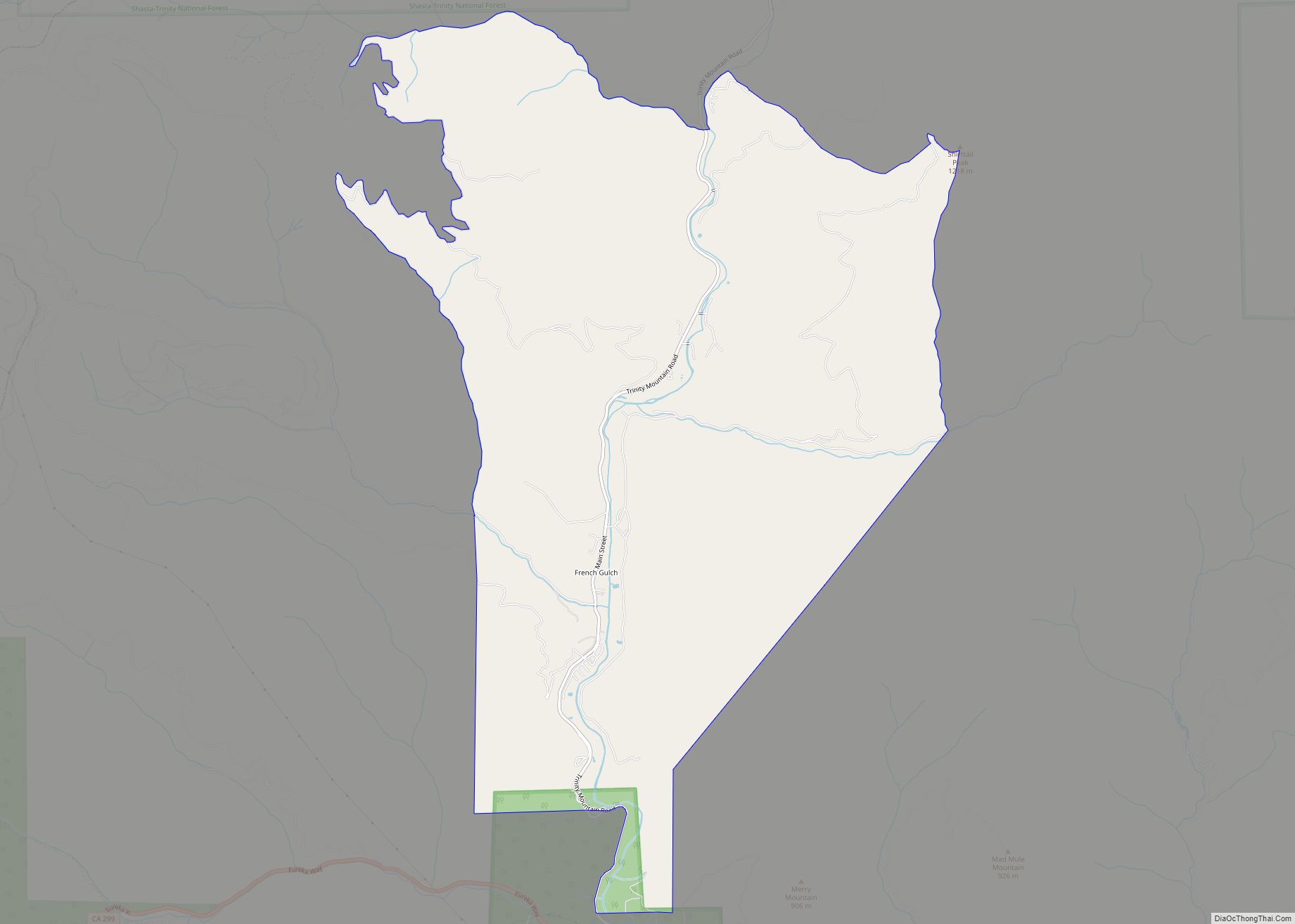
Shingletown Road Map
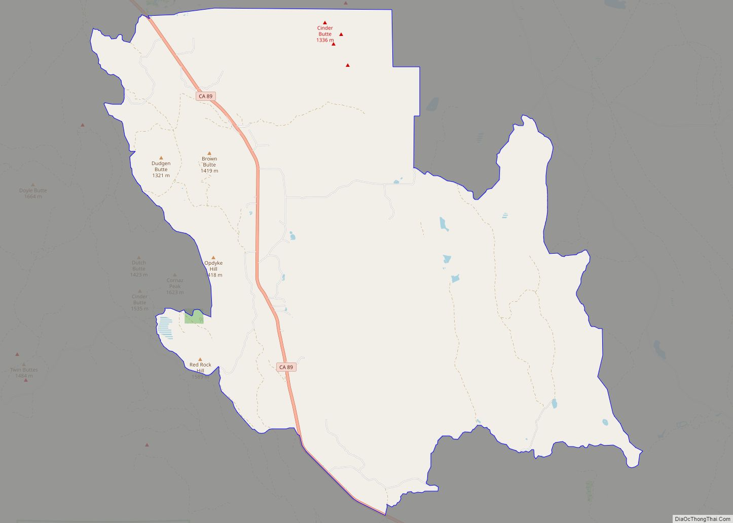
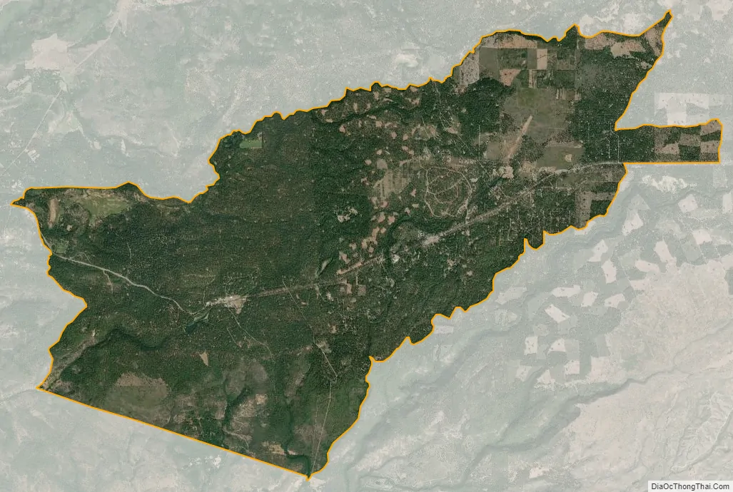
Shingletown city Satellite Map
Geography
Shingletown is located at 40°29′46″N 121°51′49″W / 40.49611°N 121.86361°W / 40.49611; -121.86361 (40.496033, -121.863657) in Northern California, near Lassen Volcanic National Park.
According to the United States Census Bureau, the CDP has a total area of 24.7 square miles (64 km), of which 24.7 square miles (64 km) is land and 0.1 square miles (0.26 km) (0.28%) is water.
The forests around Shingletown are home to the Shasta clarkia a rare subspecies of Clarkia borealis, a flowering plant in the evening primrose family.
Fire hazard
As of 2019, the state of California classifies the entire population of Shingletown as living in a “Very High fire Hazard Severity Zone”. Cal Fire plans to trim 1,124 acres of vegetation along Highway 44, the main road through the town, as the highest priority fire safety project in the state.
See also
Map of California State and its subdivision:- Alameda
- Alpine
- Amador
- Butte
- Calaveras
- Colusa
- Contra Costa
- Del Norte
- El Dorado
- Fresno
- Glenn
- Humboldt
- Imperial
- Inyo
- Kern
- Kings
- Lake
- Lassen
- Los Angeles
- Madera
- Marin
- Mariposa
- Mendocino
- Merced
- Modoc
- Mono
- Monterey
- Napa
- Nevada
- Orange
- Placer
- Plumas
- Riverside
- Sacramento
- San Benito
- San Bernardino
- San Diego
- San Francisco
- San Joaquin
- San Luis Obispo
- San Mateo
- Santa Barbara
- Santa Clara
- Santa Cruz
- Shasta
- Sierra
- Siskiyou
- Solano
- Sonoma
- Stanislaus
- Sutter
- Tehama
- Trinity
- Tulare
- Tuolumne
- Ventura
- Yolo
- Yuba
- Alabama
- Alaska
- Arizona
- Arkansas
- California
- Colorado
- Connecticut
- Delaware
- District of Columbia
- Florida
- Georgia
- Hawaii
- Idaho
- Illinois
- Indiana
- Iowa
- Kansas
- Kentucky
- Louisiana
- Maine
- Maryland
- Massachusetts
- Michigan
- Minnesota
- Mississippi
- Missouri
- Montana
- Nebraska
- Nevada
- New Hampshire
- New Jersey
- New Mexico
- New York
- North Carolina
- North Dakota
- Ohio
- Oklahoma
- Oregon
- Pennsylvania
- Rhode Island
- South Carolina
- South Dakota
- Tennessee
- Texas
- Utah
- Vermont
- Virginia
- Washington
- West Virginia
- Wisconsin
- Wyoming