Shoshone is a census designated place (CDP) in Inyo County, California, United States. The population was 22 at the 2020 census, down from 31 at the 2010 census.
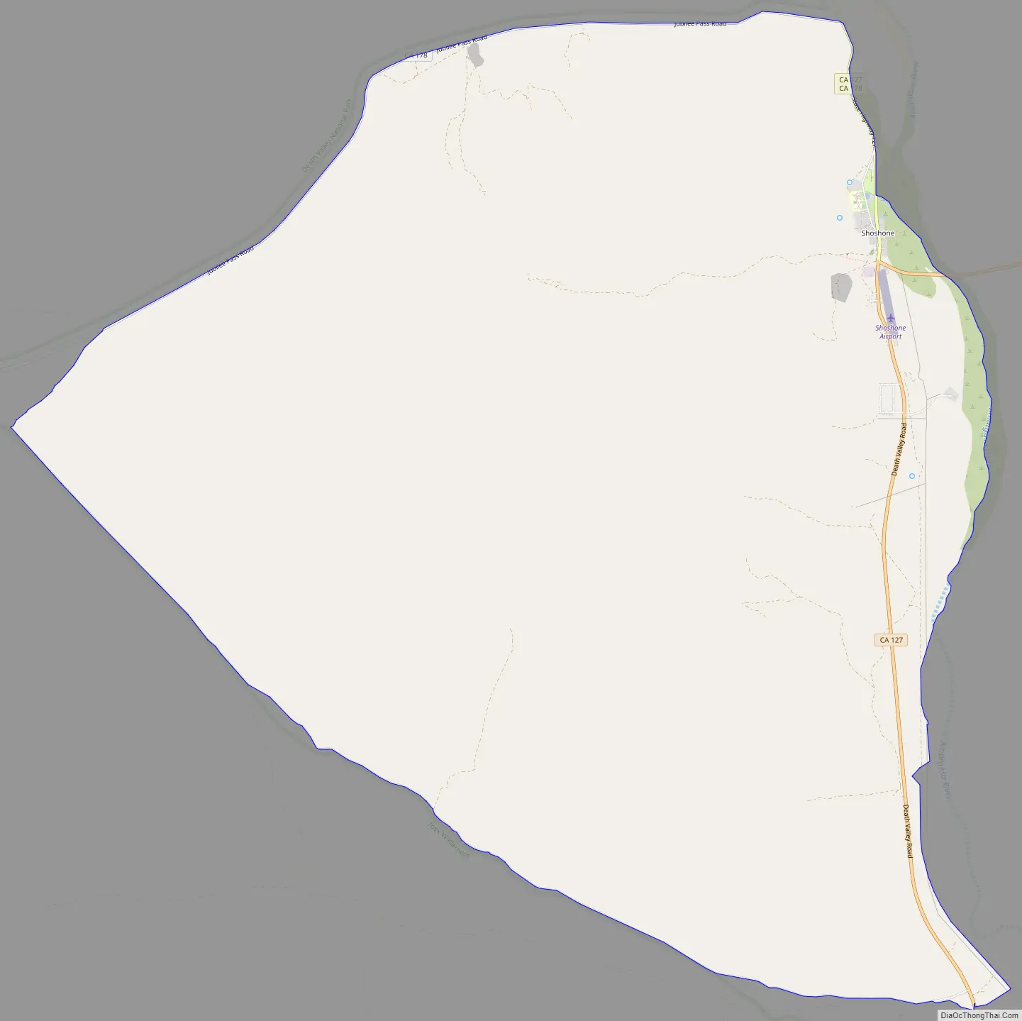
The town was founded in 1910. Although small, it is notable as a southern gateway to Death Valley National Park; in addition to being a junction of roads leading from Baker, California and Pahrump, Nevada, it has the last services available before the Furnace Creek area in the park. The commercial district of the town, including a post office, gas station, restaurant, bar and coffee house, is just north of the southern intersection of California State Routes 127 and 178.
Shoshone has a single 2,380 foot (725 m) airstrip across SR 127 from the commercial district. It is open to the public and gets about 58 flights per month.
Shoshone, California, has a history as a railroad town and rich mining district.
| Name: | Shoshone CDP |
|---|---|
| LSAD Code: | 57 |
| LSAD Description: | CDP (suffix) |
| State: | California |
| County: | Inyo County |
| Elevation: | 1,585 ft (483 m) |
| Total Area: | 28.711 sq mi (74.361 km²) |
| Land Area: | 28.711 sq mi (74.361 km²) |
| Water Area: | 0 sq mi (0 km²) 0% |
| Total Population: | 22 |
| Population Density: | 0.77/sq mi (0.30/km²) |
| ZIP code: | 92384 |
| FIPS code: | 0671680 |
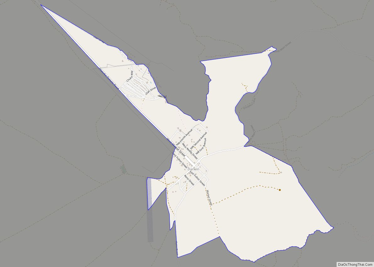
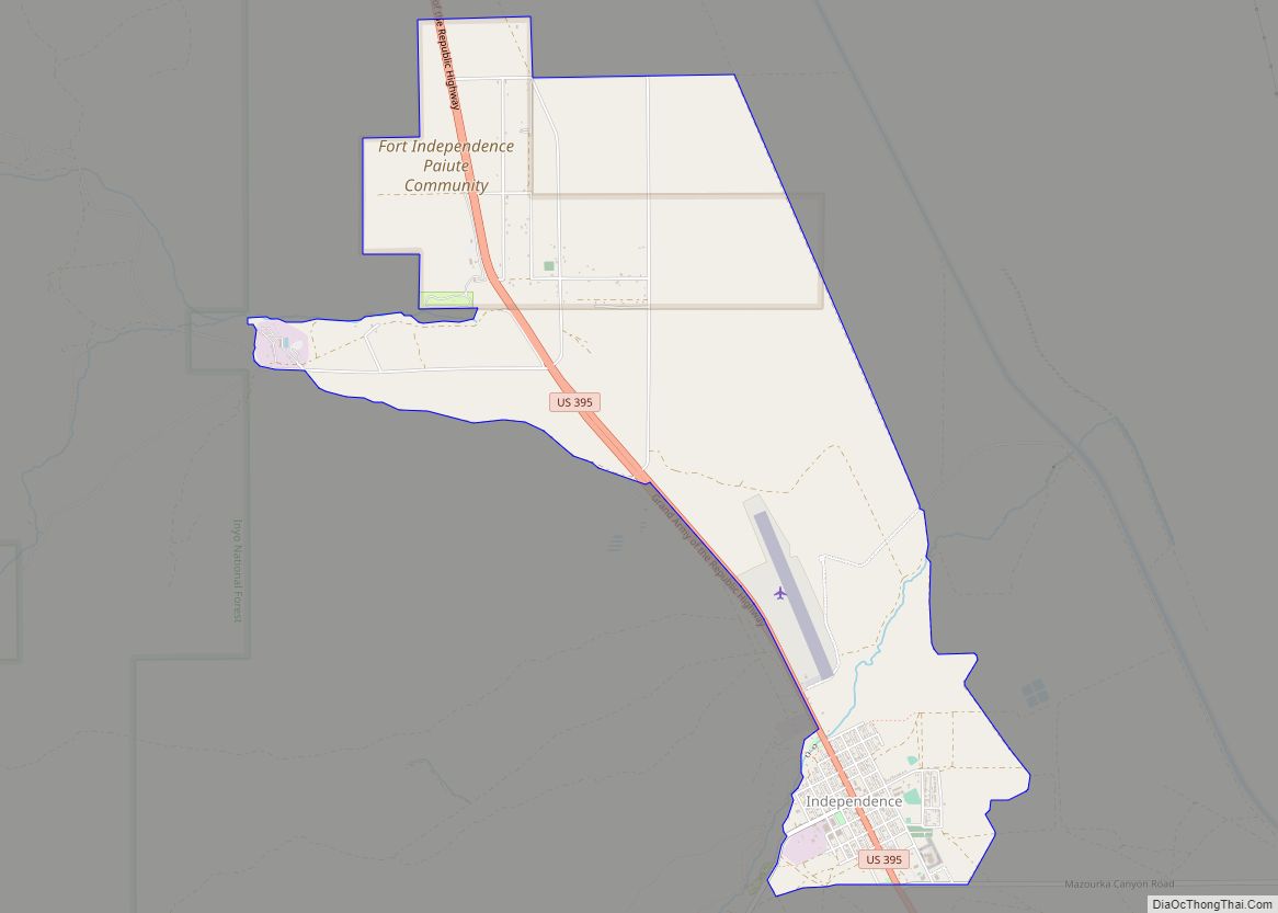
Online Interactive Map
Click on ![]() to view map in "full screen" mode.
to view map in "full screen" mode.
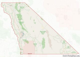
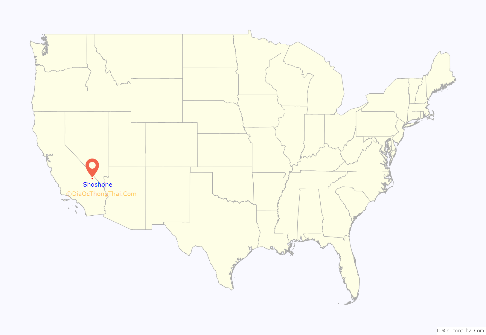
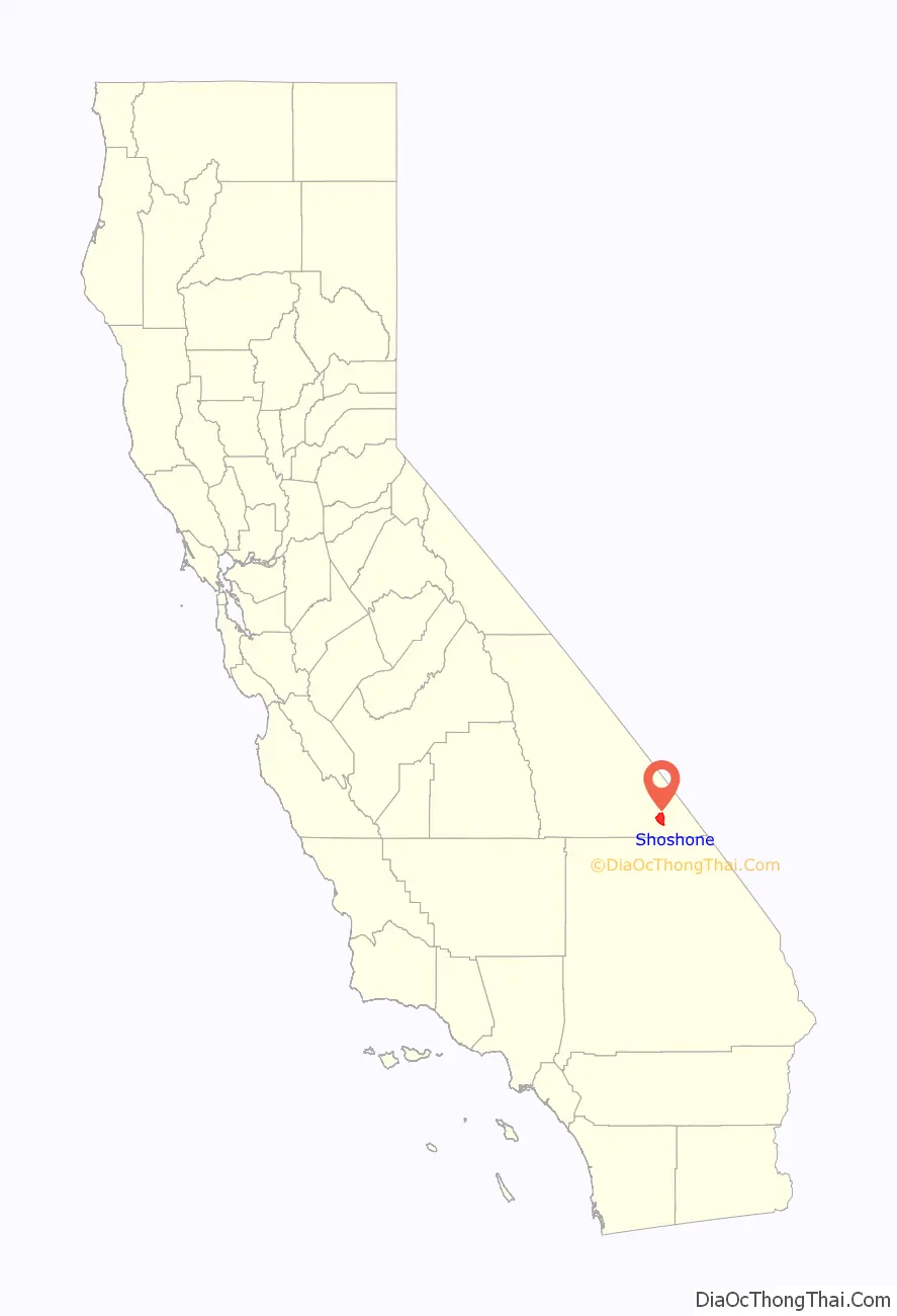
Shoshone location map. Where is Shoshone CDP?
History
Shoshone was founded in 1910 by Ralph Jacobus “Dad” Fairbanks, a Death Valley businessman. The town remains owned by his descendants. A post office operated at Shoshone from 1915, closed for part of 1920. Shoshone was a stop on the Tonopah and Tidewater Railroad which shut down in 1940.
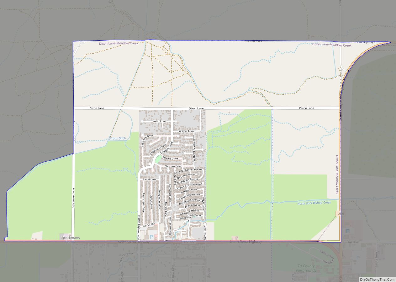
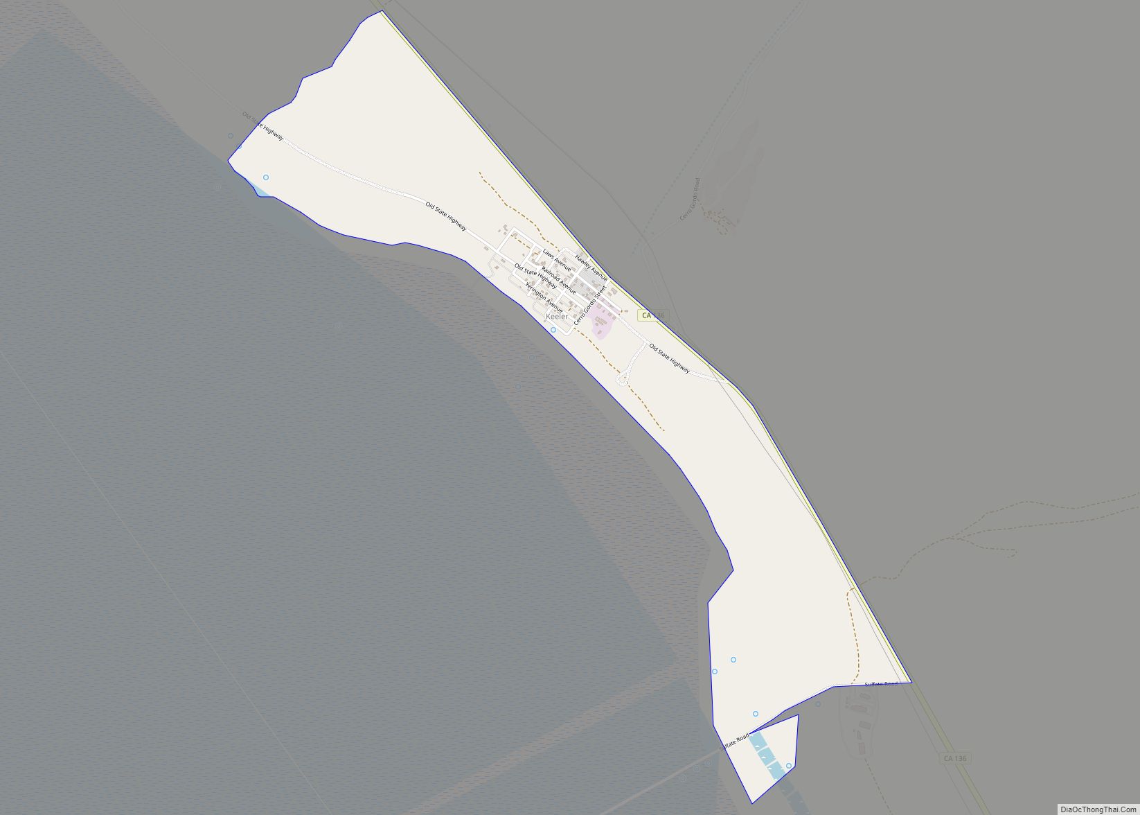
Shoshone Road Map
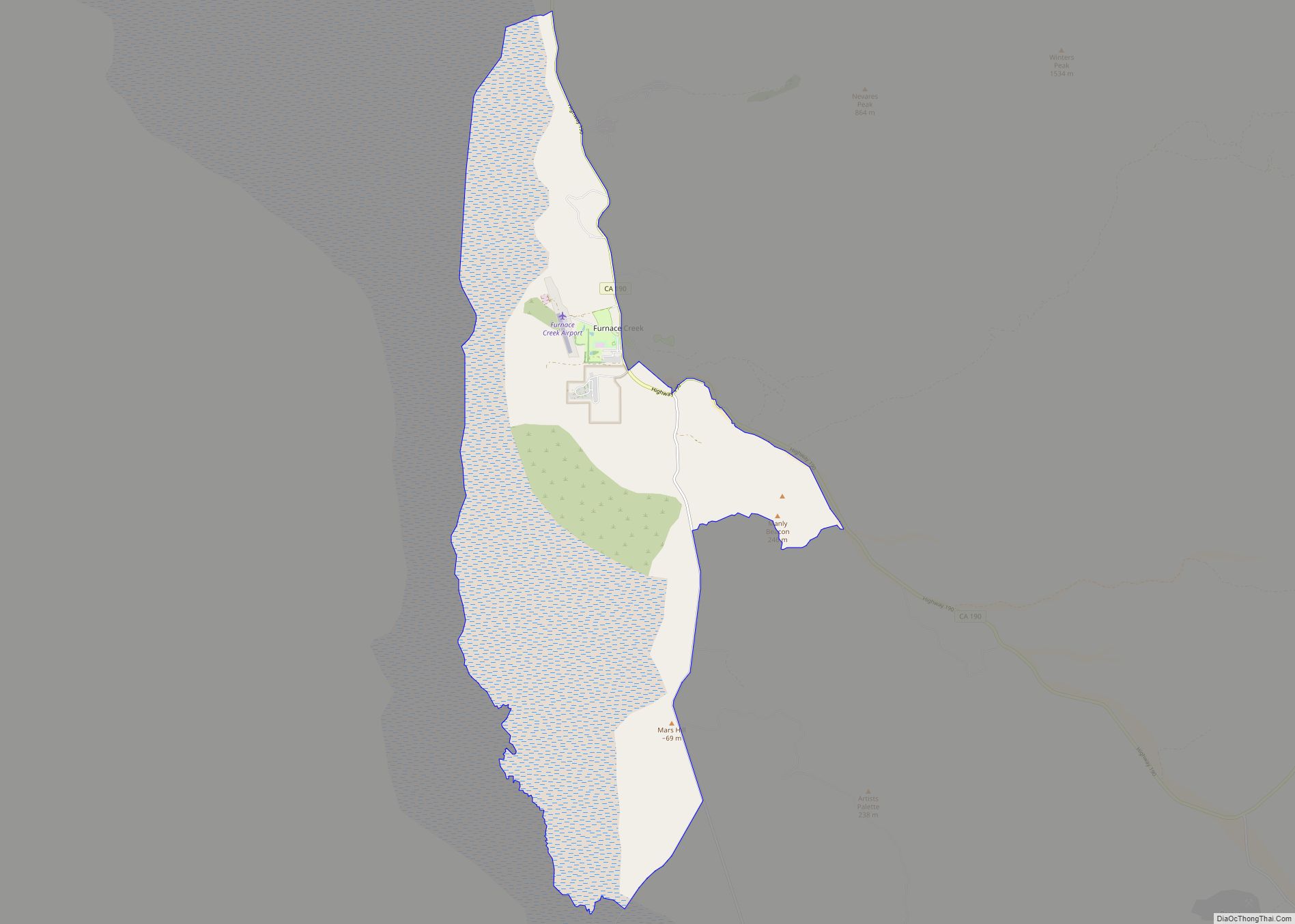
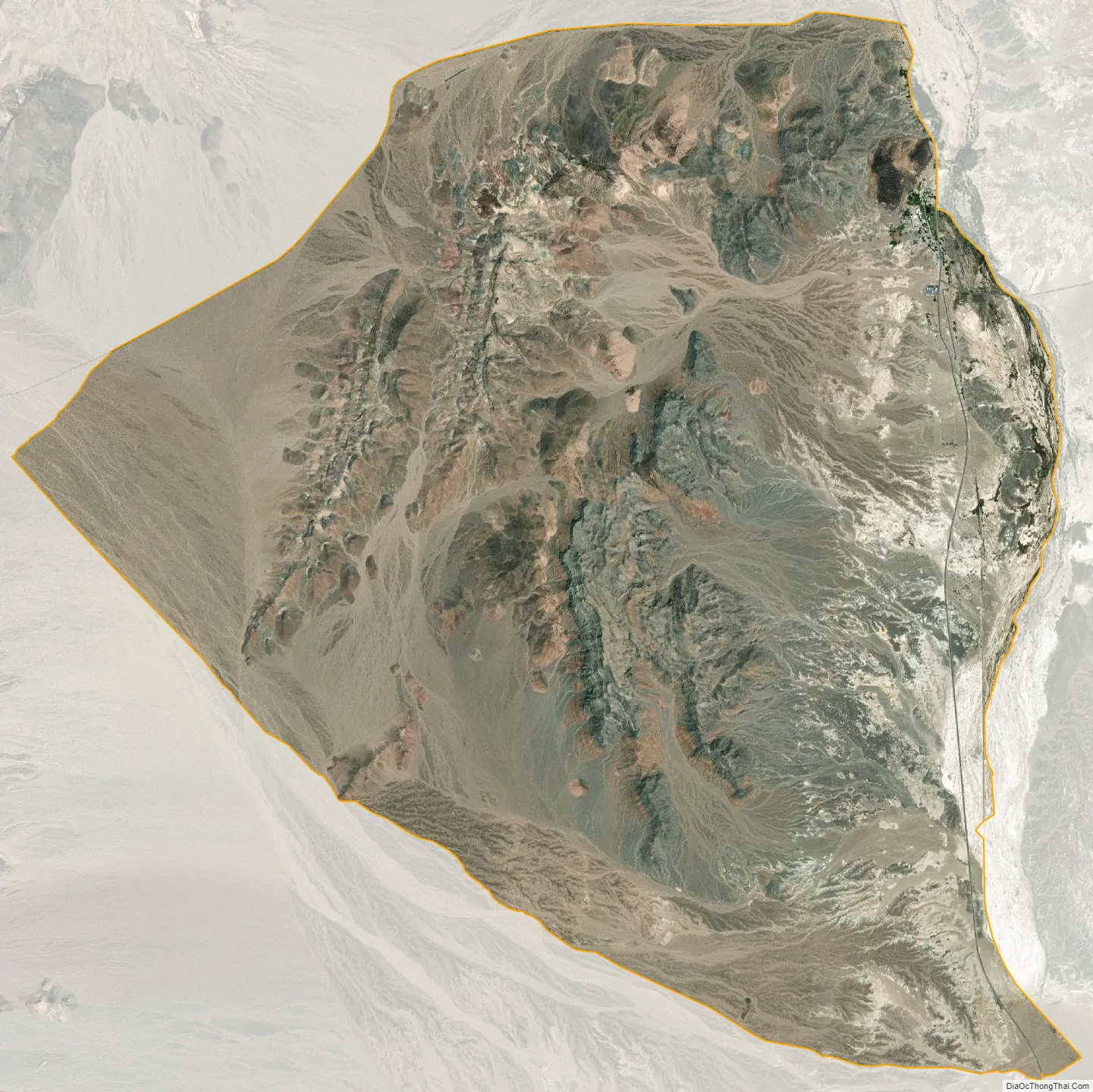
Shoshone city Satellite Map
Geography
According to the United States Census Bureau, the CDP has a total area of 28.7 square miles (74 km), over 99% of it land. It is 14 miles (23 km) east of Epaulet Peak, at an elevation of 1585 feet (483 m).
Shoshone is at the junction of California State Route 127 and California State Route 178.
Climate
According to the Köppen Climate Classification system, Shoshone has a hot desert climate, abbreviated “BWh” on climate maps.
See also
Map of California State and its subdivision:- Alameda
- Alpine
- Amador
- Butte
- Calaveras
- Colusa
- Contra Costa
- Del Norte
- El Dorado
- Fresno
- Glenn
- Humboldt
- Imperial
- Inyo
- Kern
- Kings
- Lake
- Lassen
- Los Angeles
- Madera
- Marin
- Mariposa
- Mendocino
- Merced
- Modoc
- Mono
- Monterey
- Napa
- Nevada
- Orange
- Placer
- Plumas
- Riverside
- Sacramento
- San Benito
- San Bernardino
- San Diego
- San Francisco
- San Joaquin
- San Luis Obispo
- San Mateo
- Santa Barbara
- Santa Clara
- Santa Cruz
- Shasta
- Sierra
- Siskiyou
- Solano
- Sonoma
- Stanislaus
- Sutter
- Tehama
- Trinity
- Tulare
- Tuolumne
- Ventura
- Yolo
- Yuba
- Alabama
- Alaska
- Arizona
- Arkansas
- California
- Colorado
- Connecticut
- Delaware
- District of Columbia
- Florida
- Georgia
- Hawaii
- Idaho
- Illinois
- Indiana
- Iowa
- Kansas
- Kentucky
- Louisiana
- Maine
- Maryland
- Massachusetts
- Michigan
- Minnesota
- Mississippi
- Missouri
- Montana
- Nebraska
- Nevada
- New Hampshire
- New Jersey
- New Mexico
- New York
- North Carolina
- North Dakota
- Ohio
- Oklahoma
- Oregon
- Pennsylvania
- Rhode Island
- South Carolina
- South Dakota
- Tennessee
- Texas
- Utah
- Vermont
- Virginia
- Washington
- West Virginia
- Wisconsin
- Wyoming