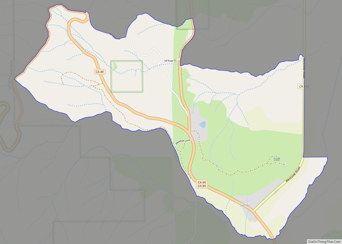
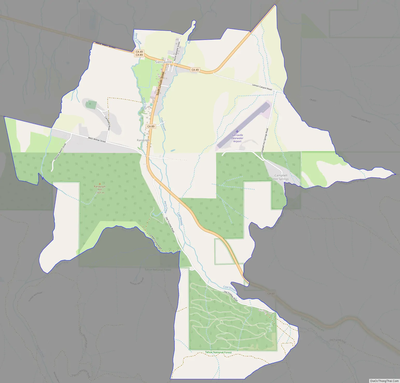
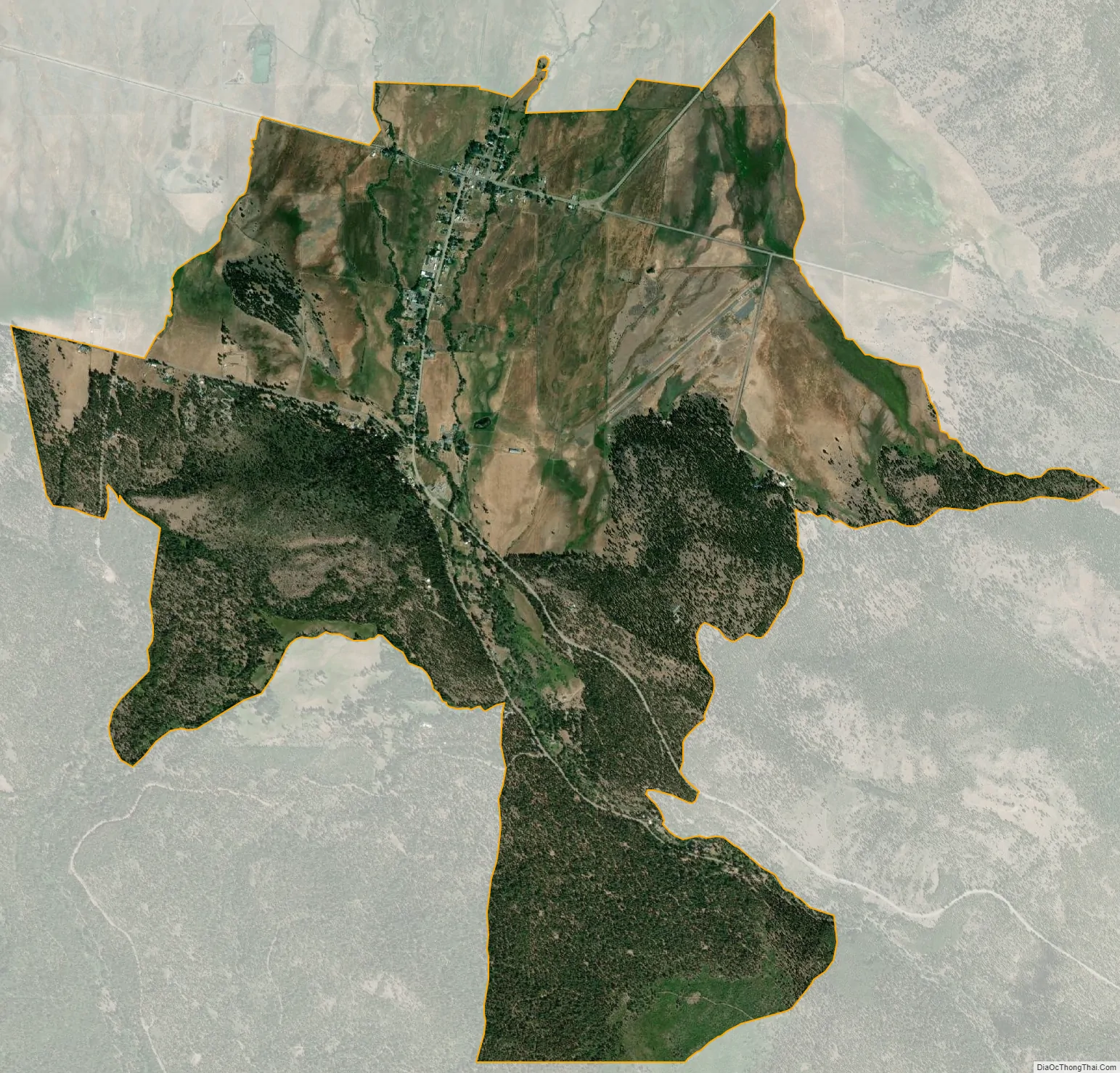
Sierraville (Sierra, Spanish for “mountain range” and Ville, French for “town”) is a census-designated place in Sierra County, California, United States. It is at the southern end of the huge Sierra Valley which is used primarily as pasture and is also at the junction of California State Route 49 and California State Route 89 southwest of Loyalton. Sierraville has a post office with ZIP code 96126. The post office opened under the name Sierra Valley in 1862 and became known as the Sierraville post office in 1899. The population was 200 as of the 2010 census.
It is the site of the only traffic signal (a flashing red light) in Sierra County. In the winter of 2007, it was removed after an automobile accident and was replaced in the fall of 2008.
| Name: | Sierraville CDP |
|---|---|
| LSAD Code: | 57 |
| LSAD Description: | CDP (suffix) |
| State: | California |
| County: | Sierra County |
| Elevation: | 4,957 ft (1,511 m) |
| Total Area: | 5.021 sq mi (13.004 km²) |
| Land Area: | 5.020 sq mi (13.002 km²) |
| Water Area: | 0.001 sq mi (0.002 km²) 0.02% |
| Total Population: | 200 |
| Population Density: | 40/sq mi (15/km²) |
| ZIP code: | 96126 |
| Area code: | 530 |
| FIPS code: | 0671848 |
Online Interactive Map
Click on ![]() to view map in "full screen" mode.
to view map in "full screen" mode.
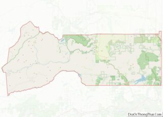
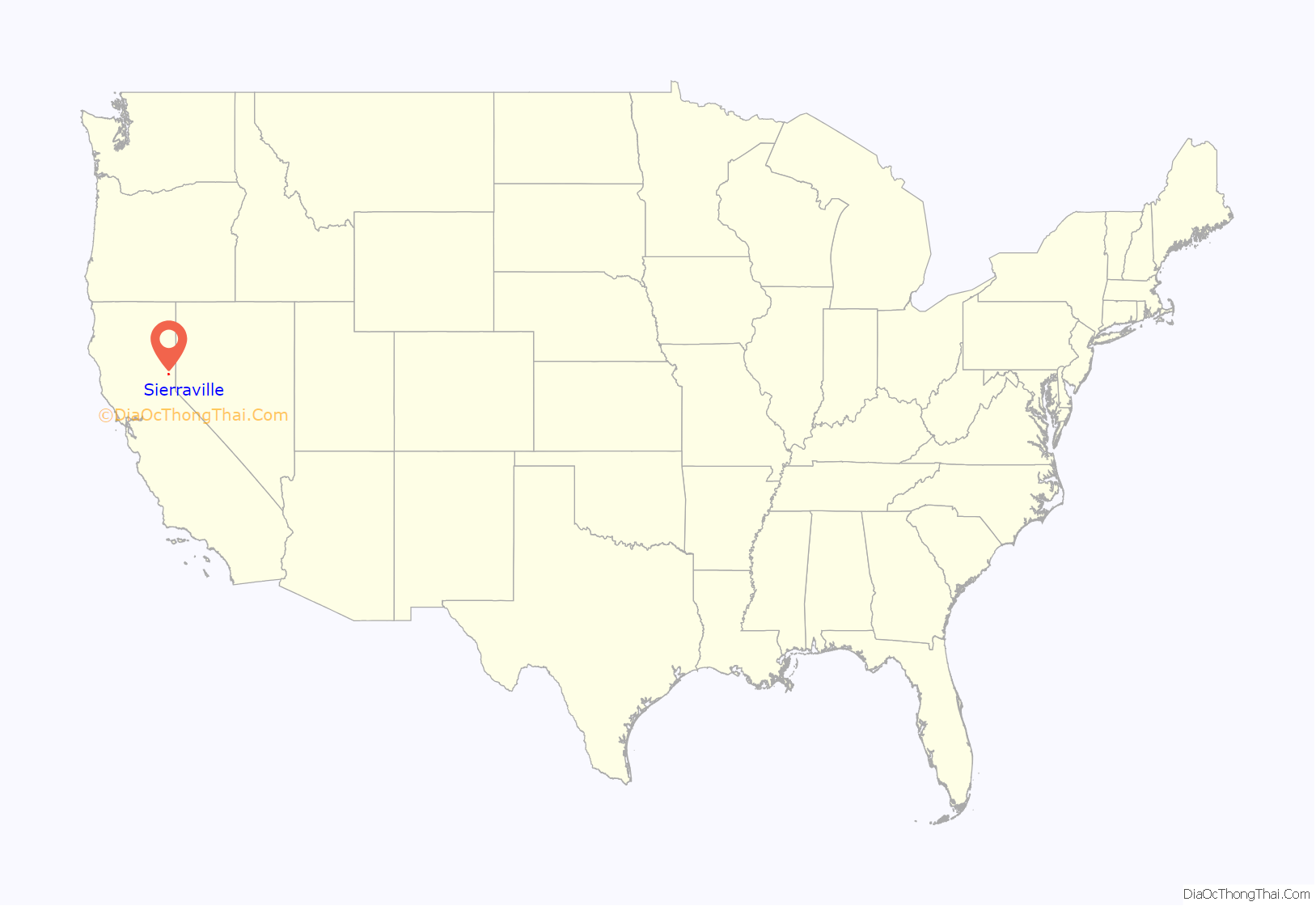
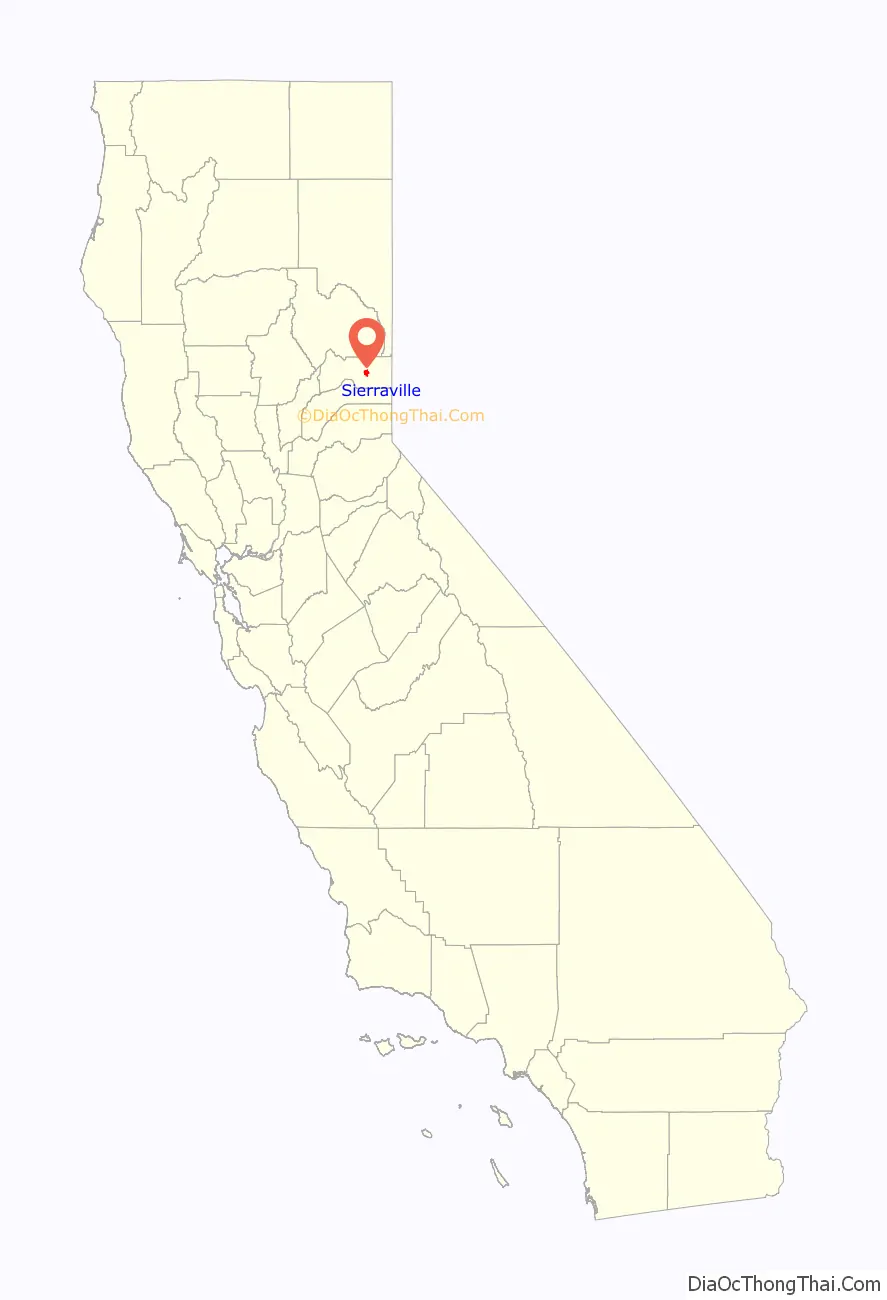
Sierraville location map. Where is Sierraville CDP?
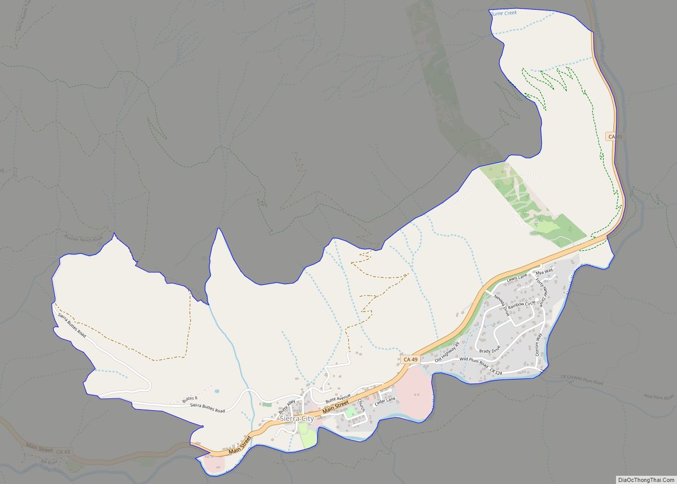
Sierraville Road Map
Sierraville city Satellite Map
Geography
According to the United States Census Bureau, the CDP covers an area of 5.0 square miles (13.0 km), 99.98% of it land and 0.02% of it water.
Climate
This region experiences warm (but not hot) and dry summers, with no average monthly temperatures above 71.6 °F. According to the Köppen Climate Classification system, Sierraville has a warm-summer Mediterranean climate, abbreviated “Csb” on climate maps.
See also
Map of California State and its subdivision:- Alameda
- Alpine
- Amador
- Butte
- Calaveras
- Colusa
- Contra Costa
- Del Norte
- El Dorado
- Fresno
- Glenn
- Humboldt
- Imperial
- Inyo
- Kern
- Kings
- Lake
- Lassen
- Los Angeles
- Madera
- Marin
- Mariposa
- Mendocino
- Merced
- Modoc
- Mono
- Monterey
- Napa
- Nevada
- Orange
- Placer
- Plumas
- Riverside
- Sacramento
- San Benito
- San Bernardino
- San Diego
- San Francisco
- San Joaquin
- San Luis Obispo
- San Mateo
- Santa Barbara
- Santa Clara
- Santa Cruz
- Shasta
- Sierra
- Siskiyou
- Solano
- Sonoma
- Stanislaus
- Sutter
- Tehama
- Trinity
- Tulare
- Tuolumne
- Ventura
- Yolo
- Yuba
- Alabama
- Alaska
- Arizona
- Arkansas
- California
- Colorado
- Connecticut
- Delaware
- District of Columbia
- Florida
- Georgia
- Hawaii
- Idaho
- Illinois
- Indiana
- Iowa
- Kansas
- Kentucky
- Louisiana
- Maine
- Maryland
- Massachusetts
- Michigan
- Minnesota
- Mississippi
- Missouri
- Montana
- Nebraska
- Nevada
- New Hampshire
- New Jersey
- New Mexico
- New York
- North Carolina
- North Dakota
- Ohio
- Oklahoma
- Oregon
- Pennsylvania
- Rhode Island
- South Carolina
- South Dakota
- Tennessee
- Texas
- Utah
- Vermont
- Virginia
- Washington
- West Virginia
- Wisconsin
- Wyoming