Sleepy Hollow is a census-designated place in Marin County, California, United States. It is located 7 miles (11 km) south of downtown Novato at an elevation of 177 feet (54 m). Its population as of the 2020 census was 2,401.
| Name: | Sleepy Hollow CDP |
|---|---|
| LSAD Code: | 57 |
| LSAD Description: | CDP (suffix) |
| State: | California |
| County: | Marin County |
| Elevation: | 177 ft (54 m) |
| Total Area: | 2.966 sq mi (7.68 km²) |
| Land Area: | 2.966 sq mi (7.68 km²) |
| Water Area: | 0 sq mi (0 km²) 0% |
| Total Population: | 2,401 |
| Population Density: | 810/sq mi (310/km²) |
| ZIP code: | 94960 |
| FIPS code: | 0672184 |
Online Interactive Map
Click on ![]() to view map in "full screen" mode.
to view map in "full screen" mode.
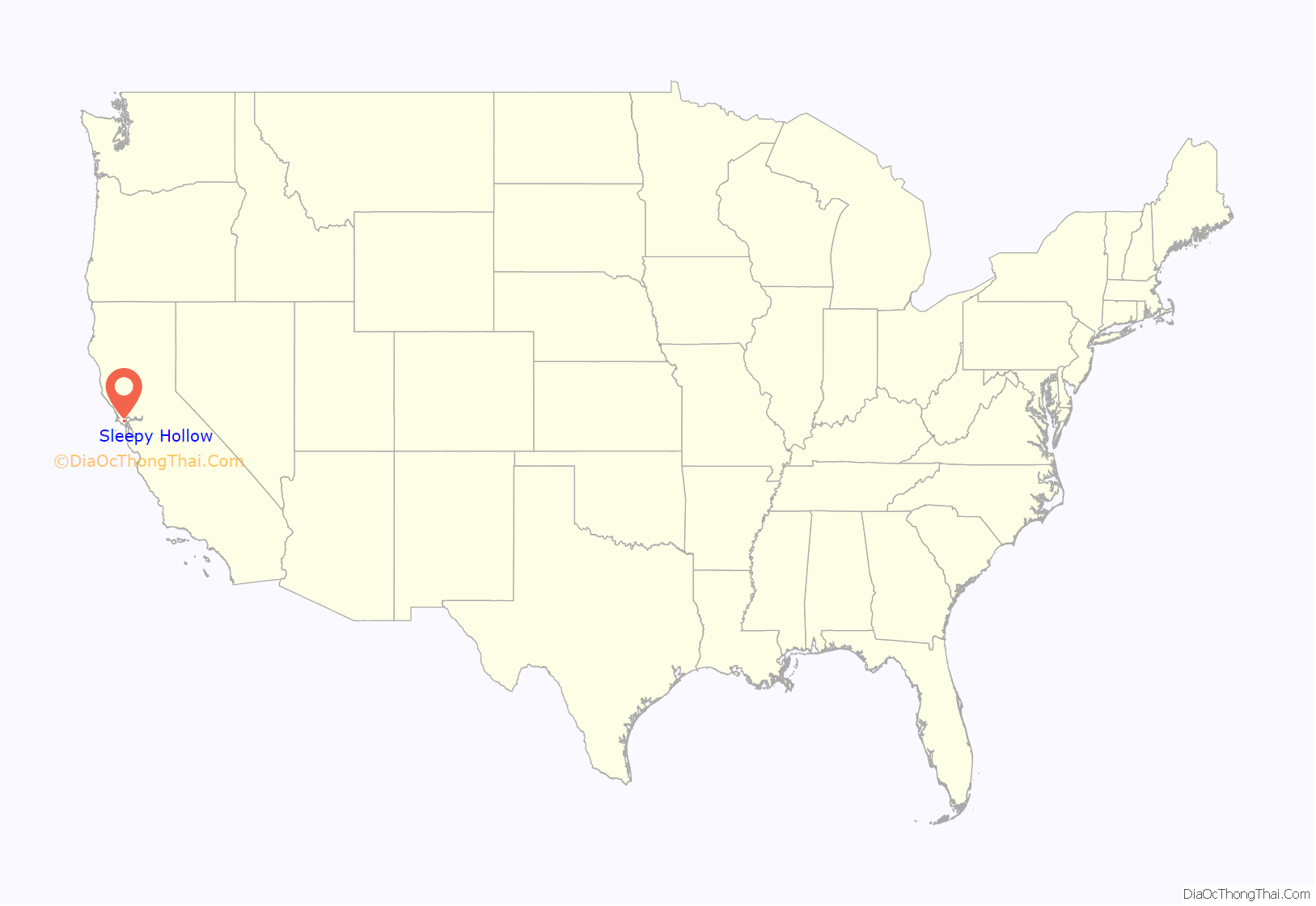
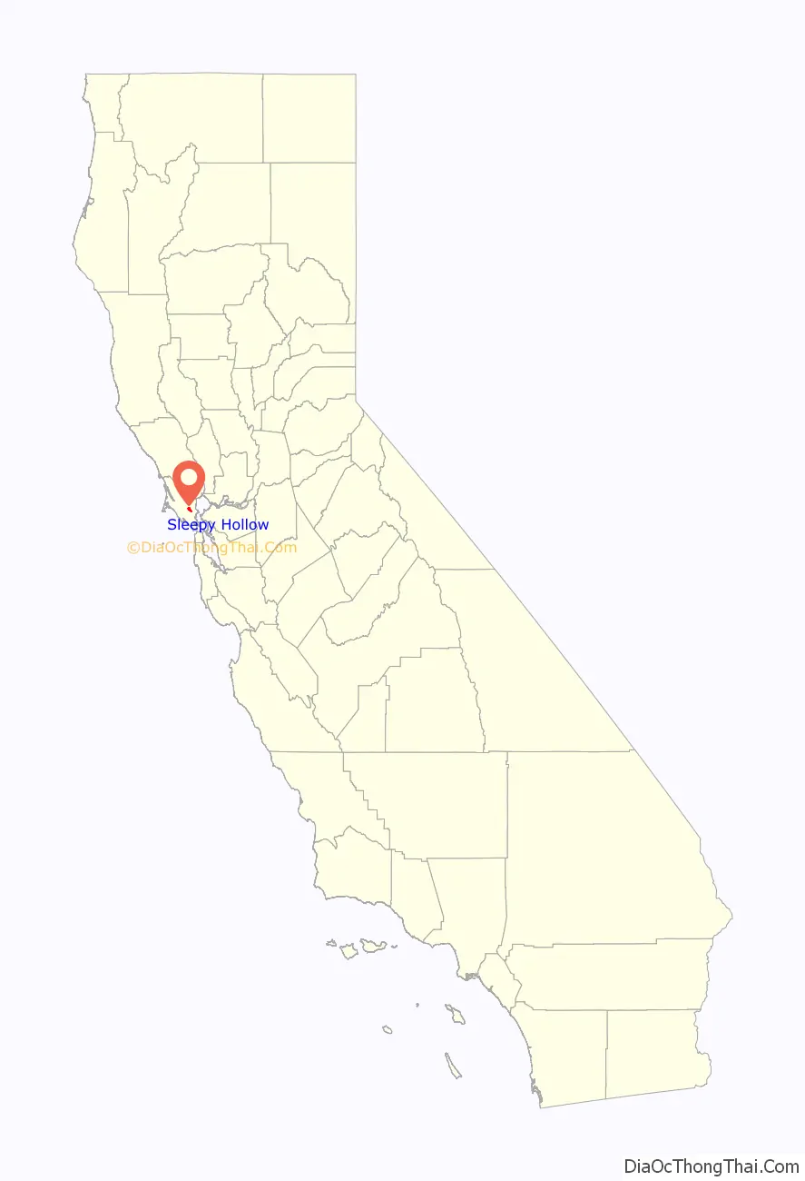
Sleepy Hollow location map. Where is Sleepy Hollow CDP?
History
In 1838, Domingo Sais received a land grant from General Mariano Vallejo known as Cañada de Herrera, which consisted of 6,659 acres (2,695 ha) covering what is now Sleepy Hollow, Fairfax and segments of San Anselmo. In the 1850s, Sais leased the majority of the land that is now Sleepy Hollow to Harvey Butterfield. Butterfield started a dairy farm on the land, and the long, winding 2-mile trail that is still to this day the only way in and out of the inclusive community became known as “Butterfield’s Road”. The next person to acquire the land was a man named Peter Austin who was responsible for planting the multitude of poplar and eucalyptus trees that now line the road. Due to foreclosure, Austin was forced to sell the land to the Hotalings, a wealthy family from San Francisco. The Hotalings built a lavish mansion at the end of the two-mile road, and named it “Sleepy Hollow” in honor of “The Legend of Sleepy Hollow”, a famous short story written by their friend, author Washington Irving. The Hotalings threw many elaborate parties for hundreds of guests, but soon left the mansion and returned to San Francisco. The next owner of the mansion was Sigmund Herzog, who founded a dairy farm on the property. Later a Chicago syndicate bought the land and attempted to create a luxury hotel complete with golf course, pool, and private man-made lake, but this idea quickly fell through due to the stock market crash prior to the Great Depression.
In the 1930s, Sleepy Hollow boasted the western United States’ only “play as you go” 18-hole golf course that became the second largest in the country. In 1939, the land was given to the U.S. Army in order to secretly store ammunition for World War II until the war was over. In 1946, A.G. Raisch bought the mansion and an additional 500 acres. Following the tradition, Raisch threw many luxurious parties for hundreds of guests. He eventually left the estate and it remained unoccupied for several years until it spontaneously caught on fire. The majority of the house burned down, leaving only a wall and a set of steps that still stand today.
Sleepy Hollow became a residential area due to the opening of a real estate company shortly after World War II. In 1966 the Dominican Order of the Catholic Church bought the “Sleepy Hollow” mansion and opened the San Domenico School for Girls. Presently, San Domenico School is a private, co-ed K-12 day school, with boarding in the high school for girls only.
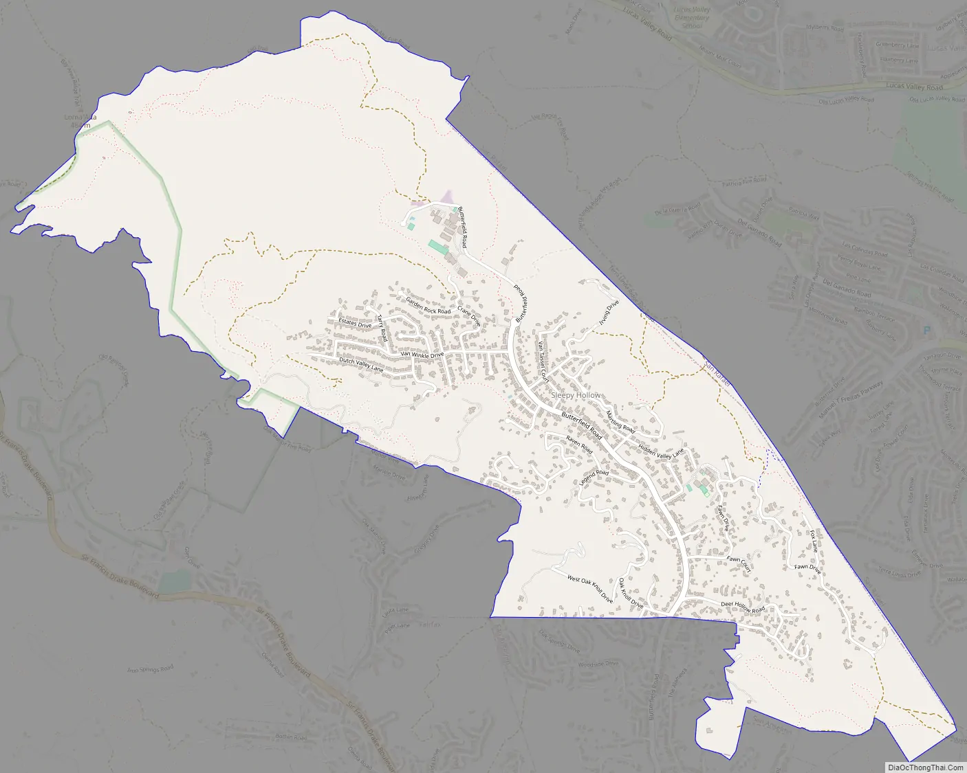
Sleepy Hollow Road Map
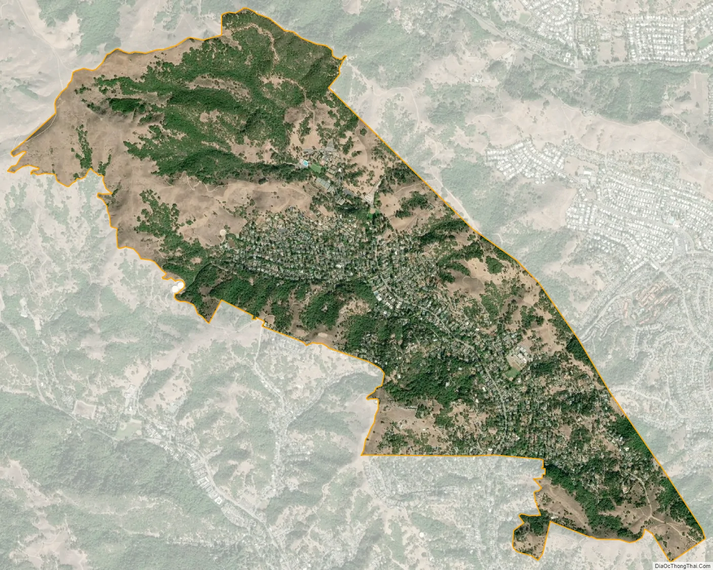
Sleepy Hollow city Satellite Map
Geography
Sleepy Hollow is in east-central Marin County and is bordered to the south by the town of San Anselmo. The Terra Linda district of San Rafael lies to the east. Though no roads directly connect Sleepy Hollow with Terra Linda, hiking trails do.
Butterfield Road, Sleepy Hollow’s main street, is accessed from Sir Francis Drake Boulevard, a major east-west road in Marin County. The community is in ZIP code 94960 and area codes 415 and 628.
Lucas Valley-Marinwood lies to the north of Sleepy Hollow, but there are no roads directly connecting the two unincorporated communities.
According to the United States Census Bureau the CDP covers an area of 2.97 square miles (7.69 km), all land.
See also
Map of California State and its subdivision:- Alameda
- Alpine
- Amador
- Butte
- Calaveras
- Colusa
- Contra Costa
- Del Norte
- El Dorado
- Fresno
- Glenn
- Humboldt
- Imperial
- Inyo
- Kern
- Kings
- Lake
- Lassen
- Los Angeles
- Madera
- Marin
- Mariposa
- Mendocino
- Merced
- Modoc
- Mono
- Monterey
- Napa
- Nevada
- Orange
- Placer
- Plumas
- Riverside
- Sacramento
- San Benito
- San Bernardino
- San Diego
- San Francisco
- San Joaquin
- San Luis Obispo
- San Mateo
- Santa Barbara
- Santa Clara
- Santa Cruz
- Shasta
- Sierra
- Siskiyou
- Solano
- Sonoma
- Stanislaus
- Sutter
- Tehama
- Trinity
- Tulare
- Tuolumne
- Ventura
- Yolo
- Yuba
- Alabama
- Alaska
- Arizona
- Arkansas
- California
- Colorado
- Connecticut
- Delaware
- District of Columbia
- Florida
- Georgia
- Hawaii
- Idaho
- Illinois
- Indiana
- Iowa
- Kansas
- Kentucky
- Louisiana
- Maine
- Maryland
- Massachusetts
- Michigan
- Minnesota
- Mississippi
- Missouri
- Montana
- Nebraska
- Nevada
- New Hampshire
- New Jersey
- New Mexico
- New York
- North Carolina
- North Dakota
- Ohio
- Oklahoma
- Oregon
- Pennsylvania
- Rhode Island
- South Carolina
- South Dakota
- Tennessee
- Texas
- Utah
- Vermont
- Virginia
- Washington
- West Virginia
- Wisconsin
- Wyoming


