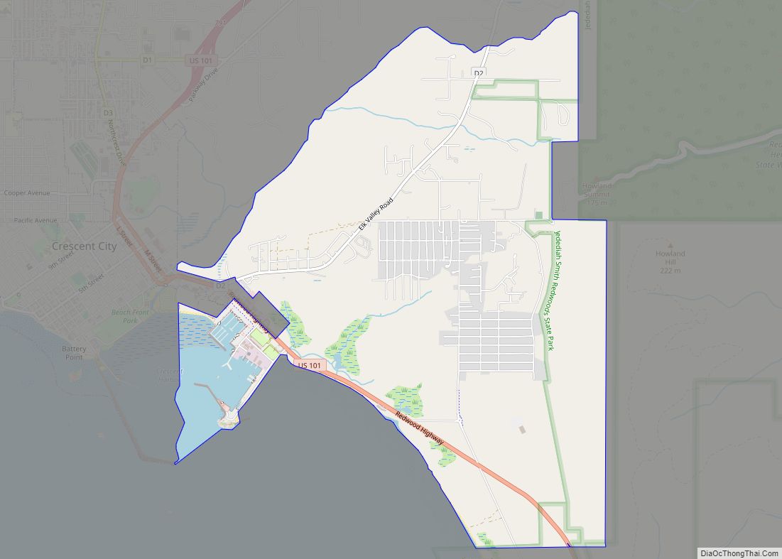
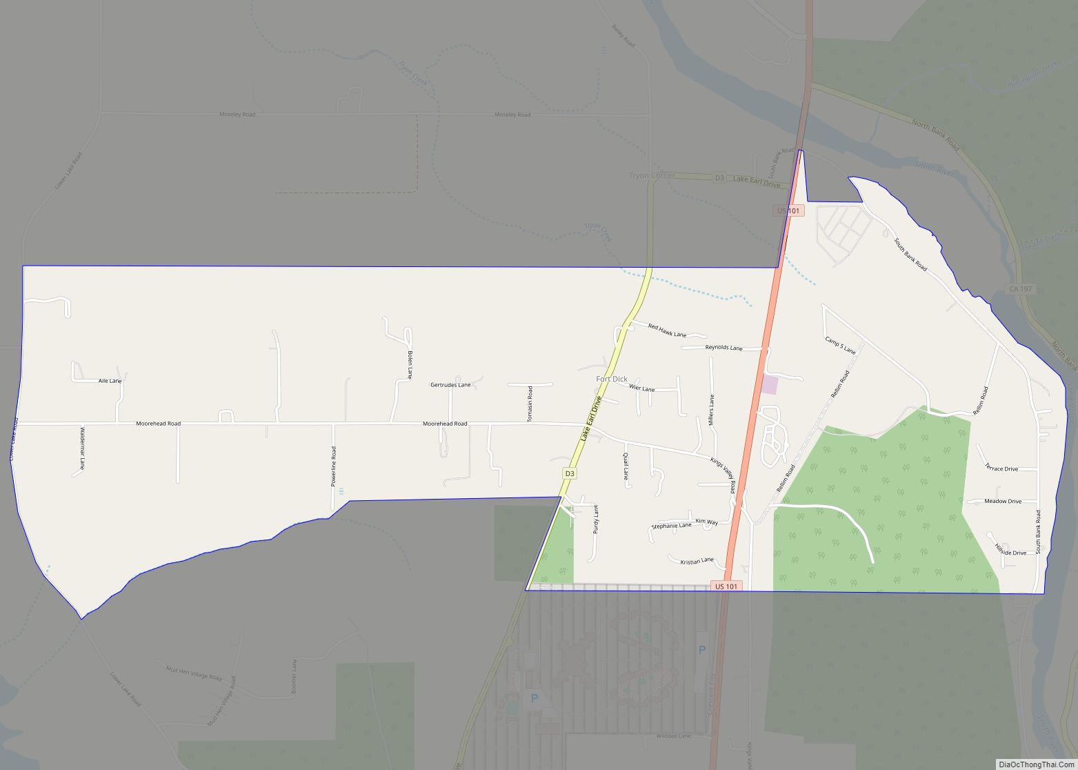
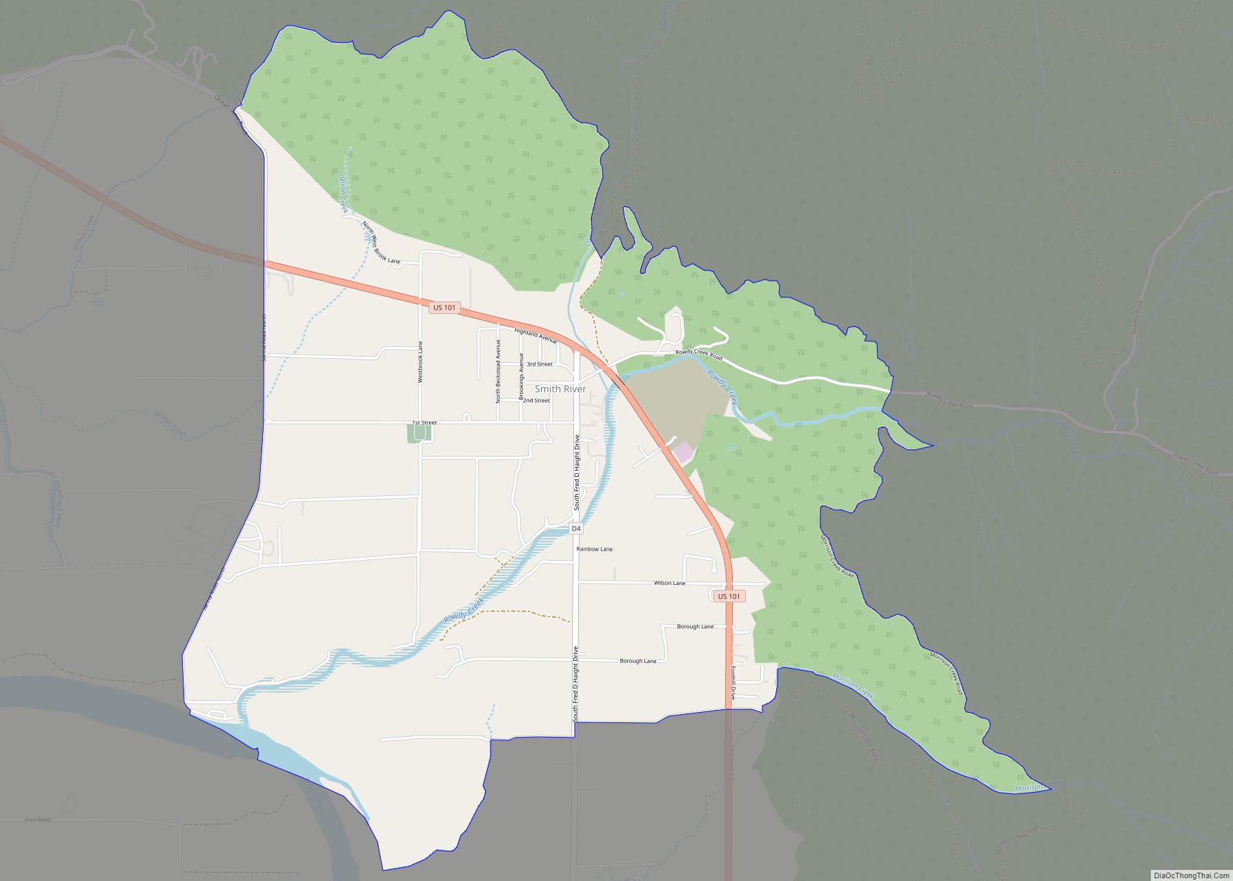
Smith River (Tolowa: Kaa-nvsh) is a town and census-designated place in Del Norte County, California, located near the Oregon border. Smith River is the headquarters of the Tolowa Dee-ni’ Nation, a federally recognized tribe of Tolowa people. As of the 2020 census, the population was 906. It is bordered by the Smith River National Recreation Area.
| Name: | Smith River CDP |
|---|---|
| LSAD Code: | 57 |
| LSAD Description: | CDP (suffix) |
| State: | California |
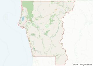
| County: | Del Norte County |
| Elevation: | 52 ft (16 m) |
| Total Area: | 3.985 sq mi (10.321 km²) |
| Land Area: | 3.970 sq mi (10.283 km²) |
| Water Area: | 0.015 sq mi (0.038 km²) 0.37% |
| Total Population: | 906 |
| Population Density: | 230/sq mi (88/km²) |
| ZIP code: | 95567 |
| Area code: | 707 |
| FIPS code: | 0672380 |
Online Interactive Map
Click on ![]() to view map in "full screen" mode.
to view map in "full screen" mode.
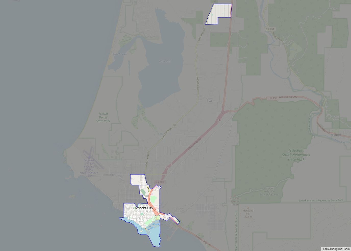
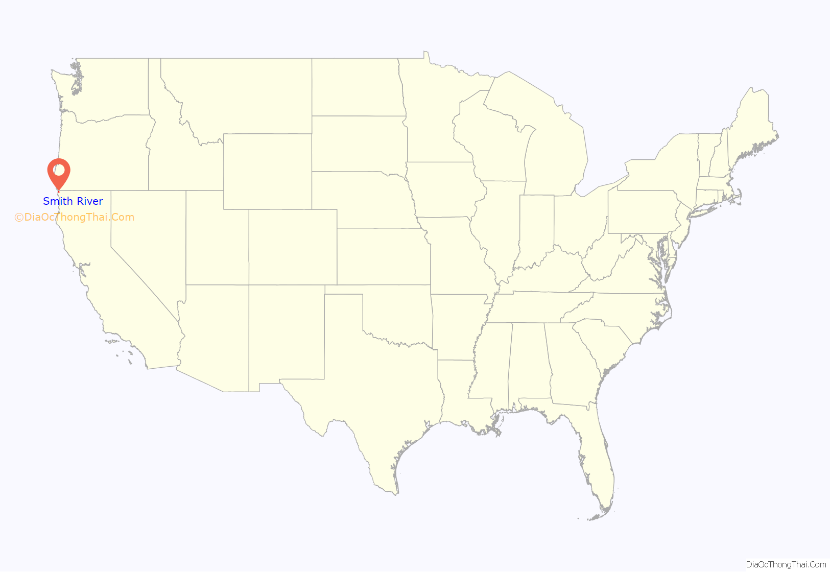
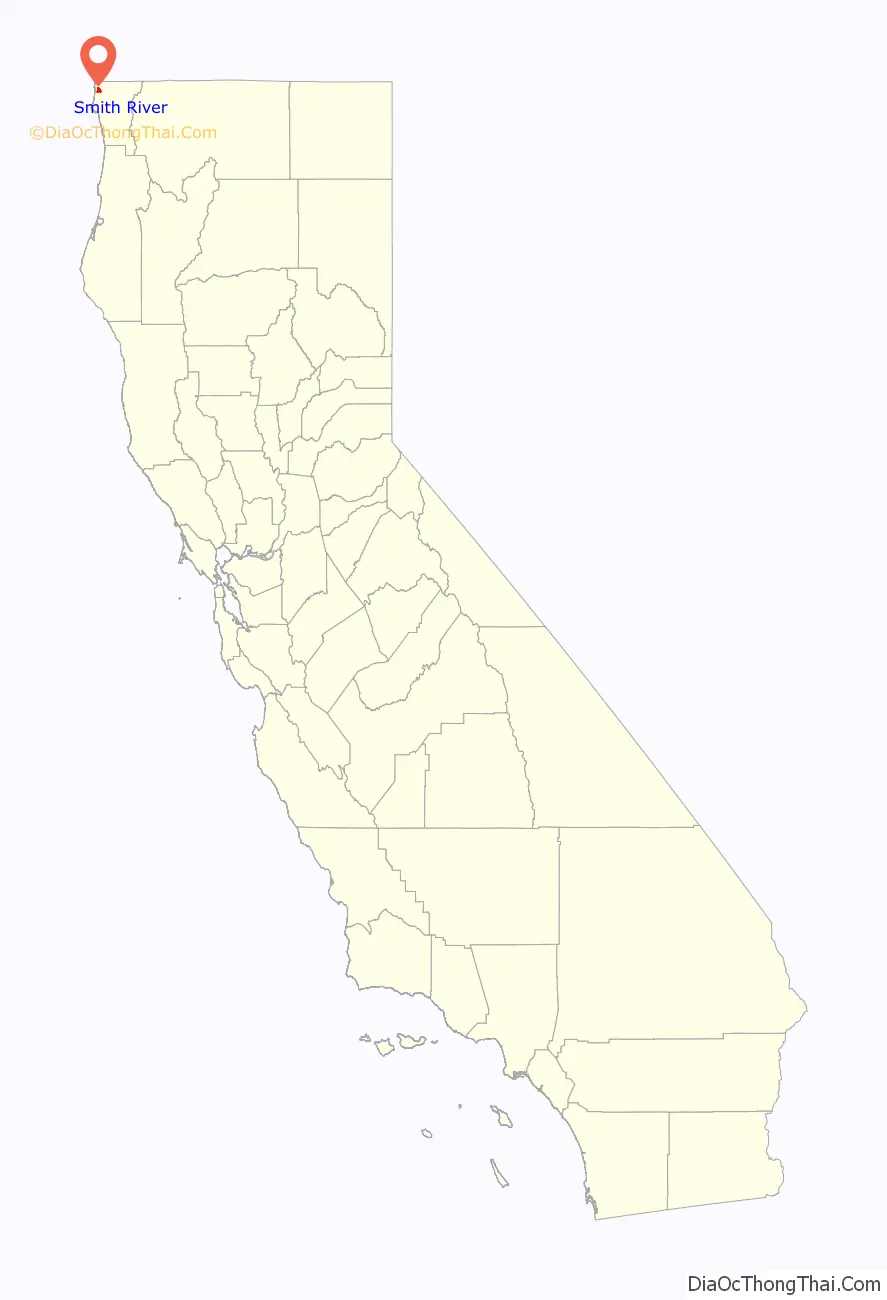
Smith River location map. Where is Smith River CDP?
History
A post office was opened in 1863. One early settler of Smith River was William Dows Rexford, who moved there with his sons in the early 1870s. The town has formerly been known as Smith River Corners, Smith’s River Valley, Smiths River, and Smith’s River.
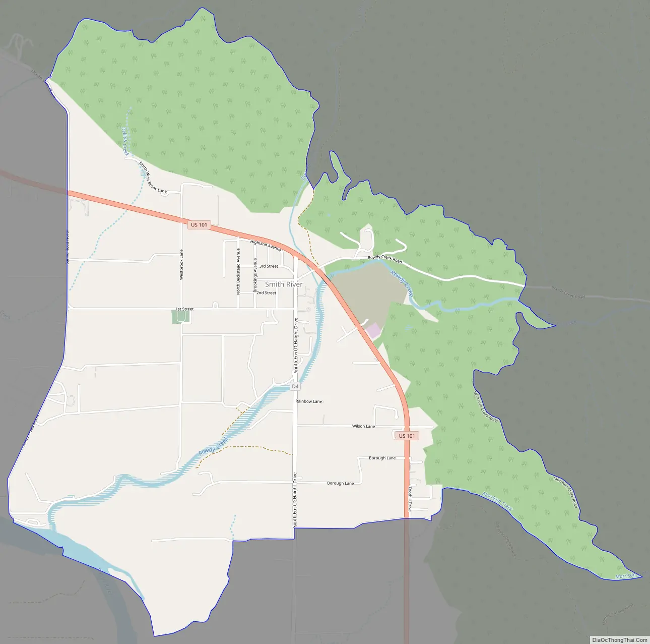
Smith River Road Map
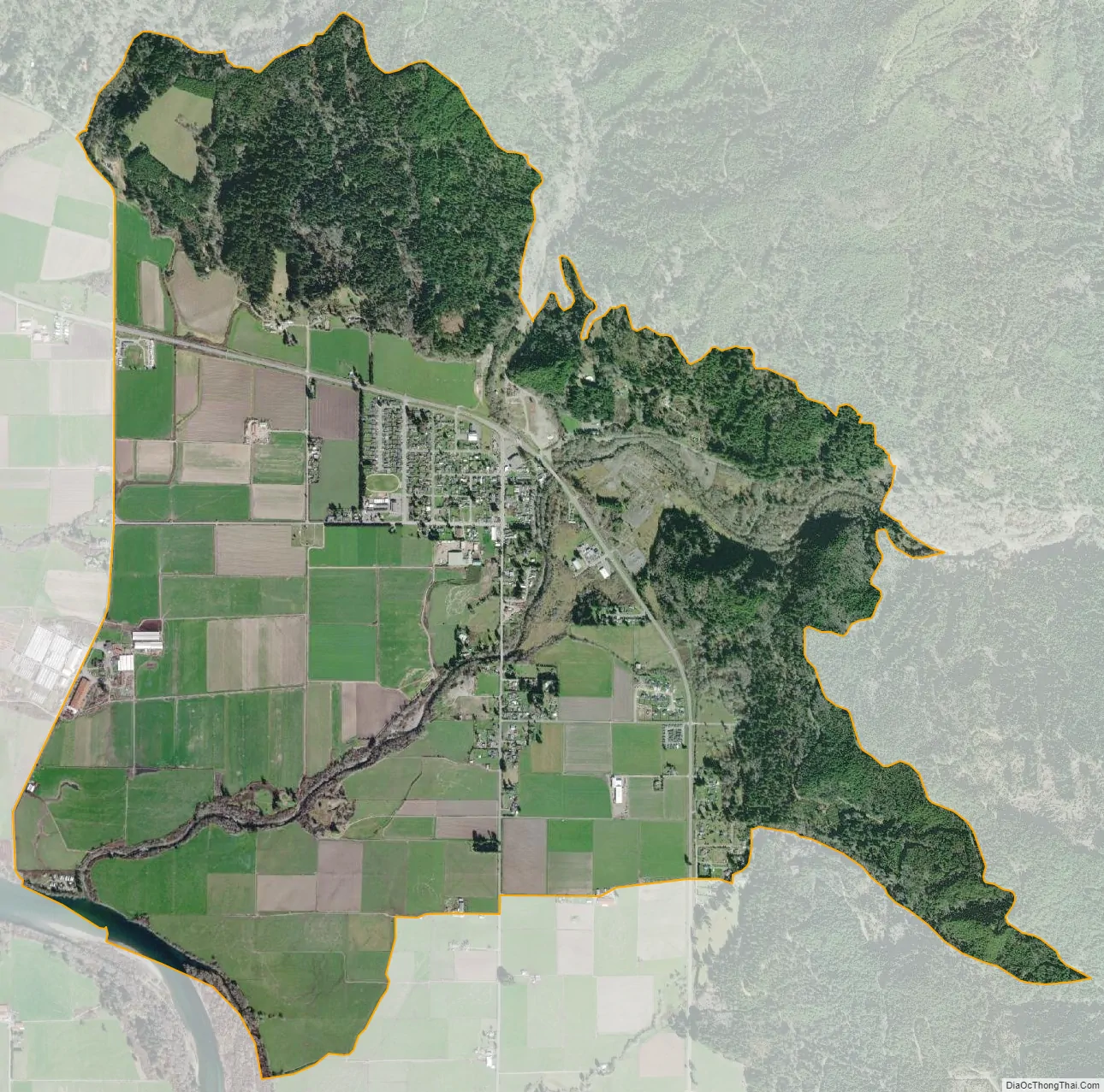
Smith River city Satellite Map
See also
Map of California State and its subdivision:- Alameda
- Alpine
- Amador
- Butte
- Calaveras
- Colusa
- Contra Costa
- Del Norte
- El Dorado
- Fresno
- Glenn
- Humboldt
- Imperial
- Inyo
- Kern
- Kings
- Lake
- Lassen
- Los Angeles
- Madera
- Marin
- Mariposa
- Mendocino
- Merced
- Modoc
- Mono
- Monterey
- Napa
- Nevada
- Orange
- Placer
- Plumas
- Riverside
- Sacramento
- San Benito
- San Bernardino
- San Diego
- San Francisco
- San Joaquin
- San Luis Obispo
- San Mateo
- Santa Barbara
- Santa Clara
- Santa Cruz
- Shasta
- Sierra
- Siskiyou
- Solano
- Sonoma
- Stanislaus
- Sutter
- Tehama
- Trinity
- Tulare
- Tuolumne
- Ventura
- Yolo
- Yuba
- Alabama
- Alaska
- Arizona
- Arkansas
- California
- Colorado
- Connecticut
- Delaware
- District of Columbia
- Florida
- Georgia
- Hawaii
- Idaho
- Illinois
- Indiana
- Iowa
- Kansas
- Kentucky
- Louisiana
- Maine
- Maryland
- Massachusetts
- Michigan
- Minnesota
- Mississippi
- Missouri
- Montana
- Nebraska
- Nevada
- New Hampshire
- New Jersey
- New Mexico
- New York
- North Carolina
- North Dakota
- Ohio
- Oklahoma
- Oregon
- Pennsylvania
- Rhode Island
- South Carolina
- South Dakota
- Tennessee
- Texas
- Utah
- Vermont
- Virginia
- Washington
- West Virginia
- Wisconsin
- Wyoming