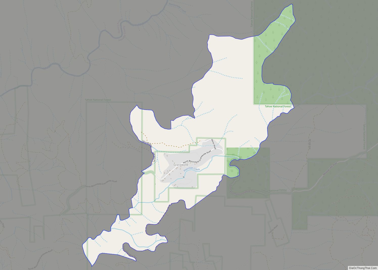
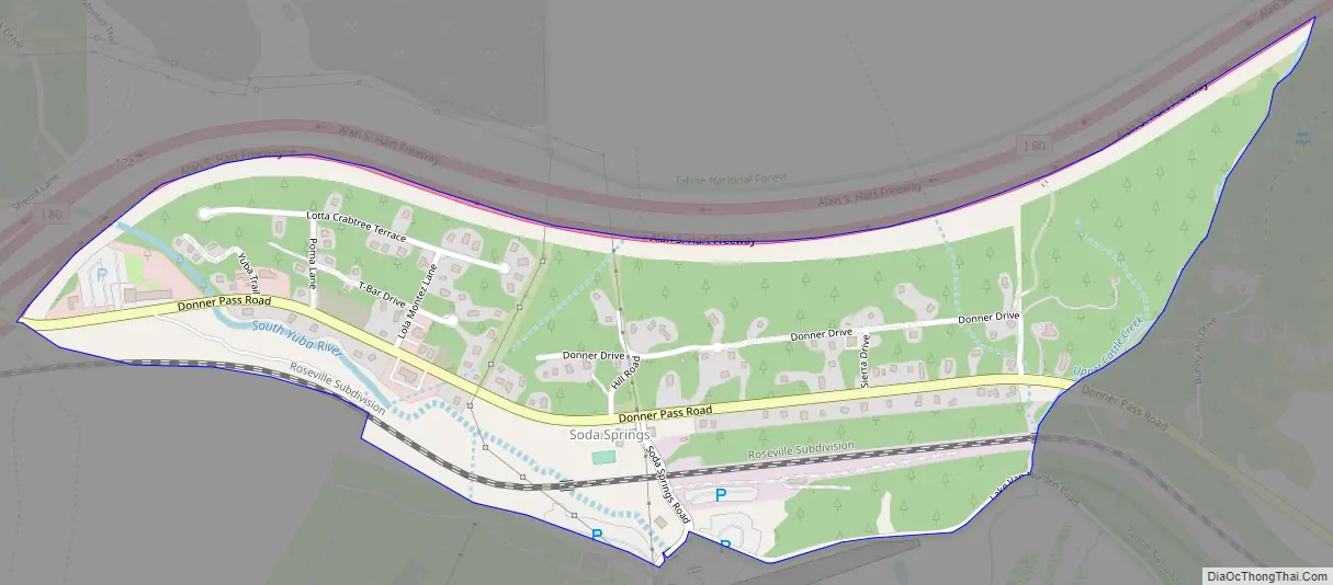
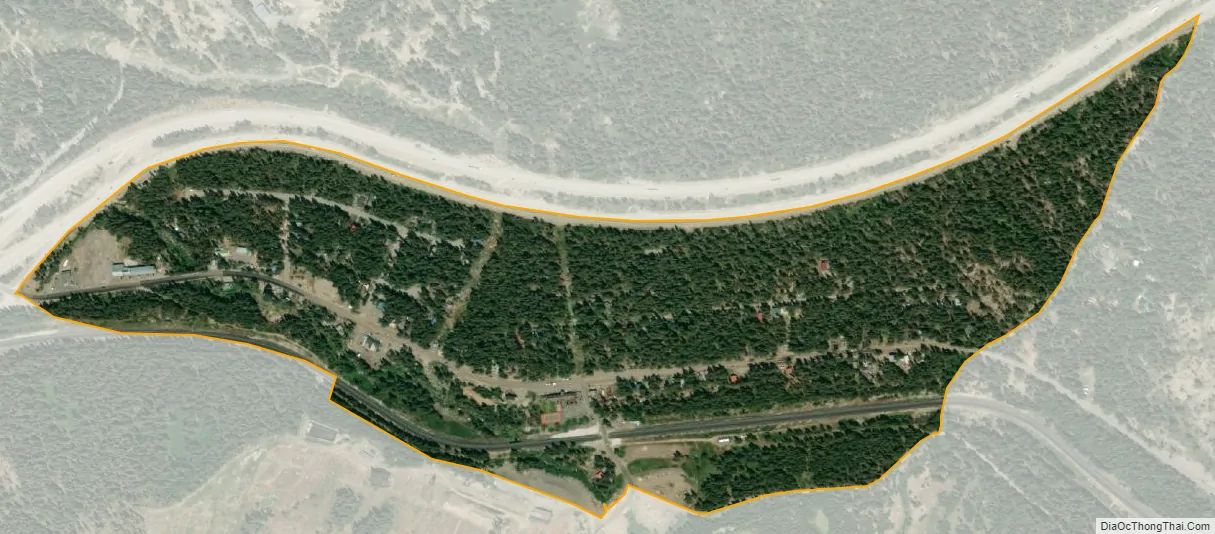
Soda Springs (formerly, Summit Valley, Soda Springs Station, Hopkins, Hopkins Springs, and Tinkers Station) is an unincorporated community and census-designated place (CDP) in Nevada County, California, United States. Soda Springs is located 3 miles (4.8 km) west of Donner Pass. The population was 81 at the 2010 census.
The Soda Springs Ski Resort is located just off Highway 80 near the Donner Summit.
| Name: | Soda Springs CDP |
|---|---|
| LSAD Code: | 57 |
| LSAD Description: | CDP (suffix) |
| State: | California |
| County: | Nevada County |
| Elevation: | 6,768 ft (2,063 m) |
| Total Area: | 0.339 sq mi (0.879 km²) |
| Land Area: | 0.339 sq mi (0.879 km²) |
| Water Area: | 0 sq mi (0 km²) 0% |
| Total Population: | 81 |
| Population Density: | 240/sq mi (92/km²) |
| ZIP code: | 95728, 95724 |
| Area code: | 530 |
| FIPS code: | 0672492 |
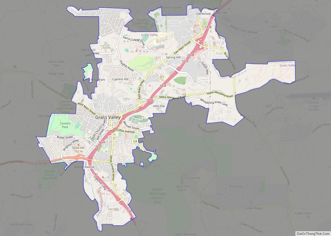
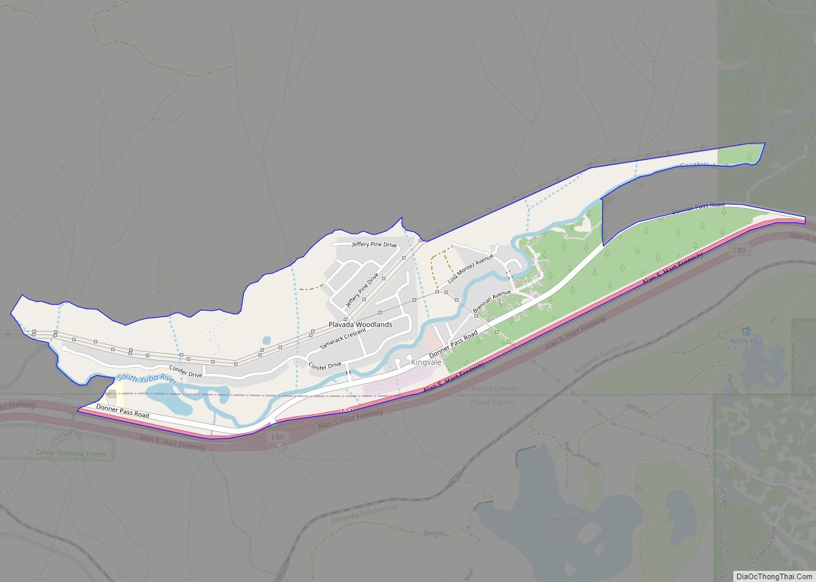
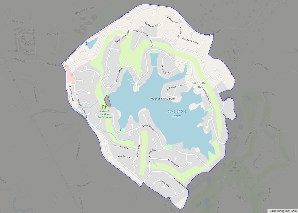
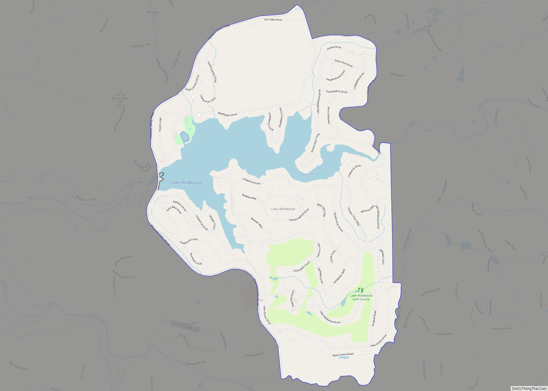
Online Interactive Map
Click on ![]() to view map in "full screen" mode.
to view map in "full screen" mode.
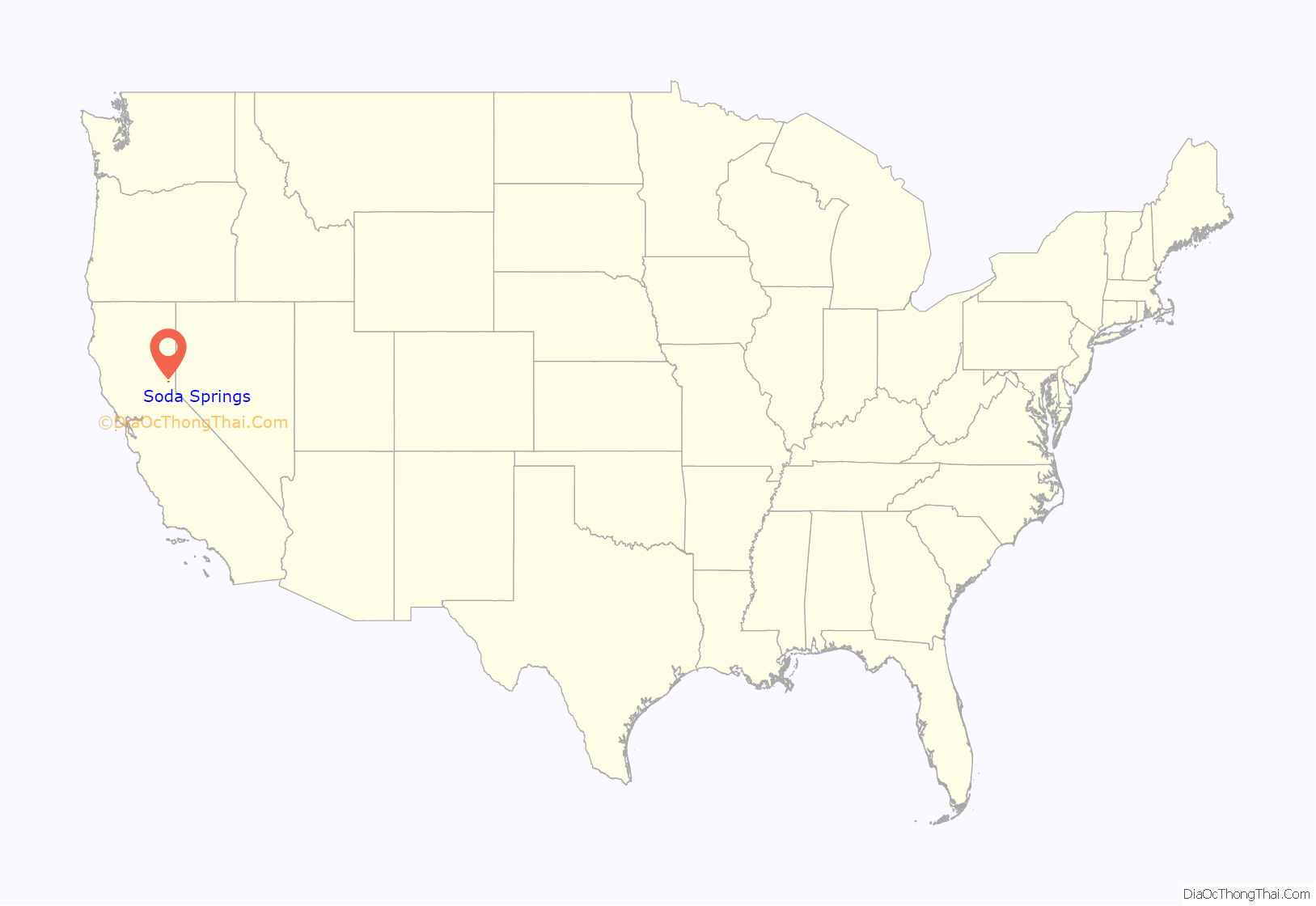
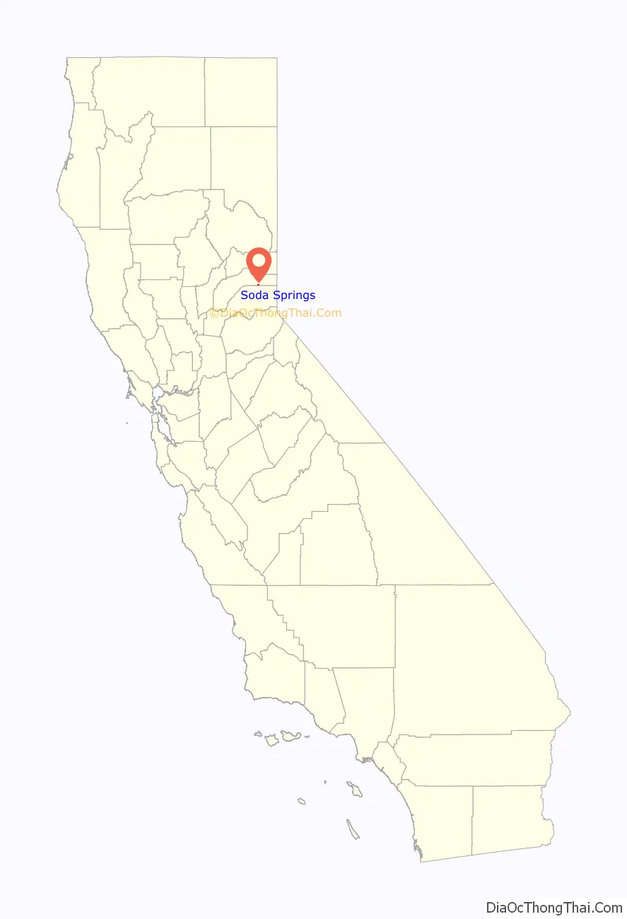
Soda Springs location map. Where is Soda Springs CDP?
History
Mark Hopkins and Leland Stanford established a resort at the location in the 1880s.
The Summit Valley post office opened in 1870, changed its name to Soda Springs in 1875, and closed in 1881. It was reopened in 1929. The Hopkins post office operated from 1885 to 1886. Alternately it was reportedly known as Hopkins Springs until the Soda Springs post office was established on March 8, 1875.
The Central Pacific Railroad station was named Tinkers Station from 1867 to 1873, commemorating J.A. Tinker. Tinker was a “rough, hard-driving, hard-drinking teamster” who hauled freight between the mines on Forest Hill Divide and Soda Springs.
Soda Springs Road Map
Soda Springs city Satellite Map
Geography
According to the United States Census Bureau, the CDP covers an area of 0.3 square miles (0.9 km), all of it land
See also
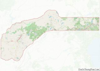
Map of California State and its subdivision:- Alameda
- Alpine
- Amador
- Butte
- Calaveras
- Colusa
- Contra Costa
- Del Norte
- El Dorado
- Fresno
- Glenn
- Humboldt
- Imperial
- Inyo
- Kern
- Kings
- Lake
- Lassen
- Los Angeles
- Madera
- Marin
- Mariposa
- Mendocino
- Merced
- Modoc
- Mono
- Monterey
- Napa
- Nevada
- Orange
- Placer
- Plumas
- Riverside
- Sacramento
- San Benito
- San Bernardino
- San Diego
- San Francisco
- San Joaquin
- San Luis Obispo
- San Mateo
- Santa Barbara
- Santa Clara
- Santa Cruz
- Shasta
- Sierra
- Siskiyou
- Solano
- Sonoma
- Stanislaus
- Sutter
- Tehama
- Trinity
- Tulare
- Tuolumne
- Ventura
- Yolo
- Yuba
- Alabama
- Alaska
- Arizona
- Arkansas
- California
- Colorado
- Connecticut
- Delaware
- District of Columbia
- Florida
- Georgia
- Hawaii
- Idaho
- Illinois
- Indiana
- Iowa
- Kansas
- Kentucky
- Louisiana
- Maine
- Maryland
- Massachusetts
- Michigan
- Minnesota
- Mississippi
- Missouri
- Montana
- Nebraska
- Nevada
- New Hampshire
- New Jersey
- New Mexico
- New York
- North Carolina
- North Dakota
- Ohio
- Oklahoma
- Oregon
- Pennsylvania
- Rhode Island
- South Carolina
- South Dakota
- Tennessee
- Texas
- Utah
- Vermont
- Virginia
- Washington
- West Virginia
- Wisconsin
- Wyoming