Sonora is the county seat of Tuolumne County, California, United States. Founded during the California Gold Rush by Mexican miners from Sonora (after which the city is named), the city population was 4,994 during the 2020 Census, an increase of 91 from the 4,903 counted during the 2010 Census.
Sonora is the only incorporated community in Tuolumne County.
| Name: | Sonora city |
|---|---|
| LSAD Code: | 25 |
| LSAD Description: | city (suffix) |
| State: | California |
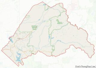
| County: | Tuolumne County |
| Incorporated: | February 15, 1850 |
| Elevation: | 1,795 ft (547 m) |
| Total Area: | 3.18 sq mi (8.23 km²) |
| Land Area: | 3.16 sq mi (8.19 km²) |
| Water Area: | 0.01 sq mi (0.04 km²) 0.45% |
| Total Population: | 4,994 |
| Population Density: | 1,600/sq mi (610/km²) |
| Area code: | 209 |
| FIPS code: | 0672674 |
| Website: | www.sonoraca.com |
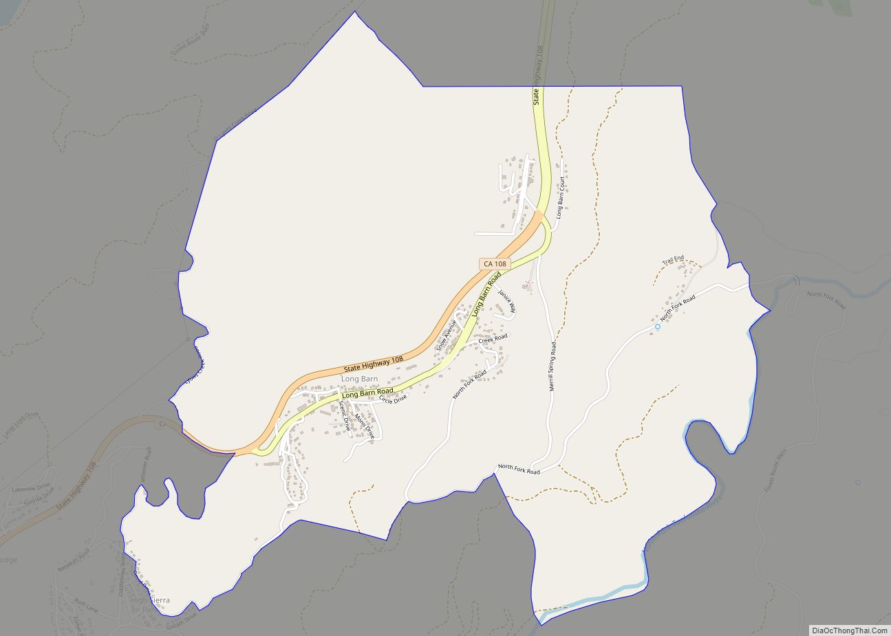
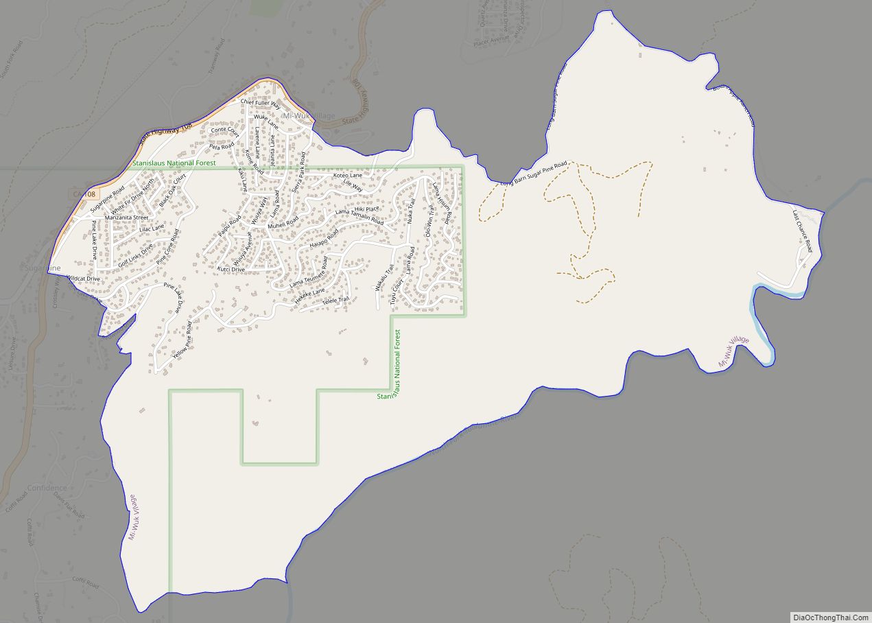
Online Interactive Map
Click on ![]() to view map in "full screen" mode.
to view map in "full screen" mode.
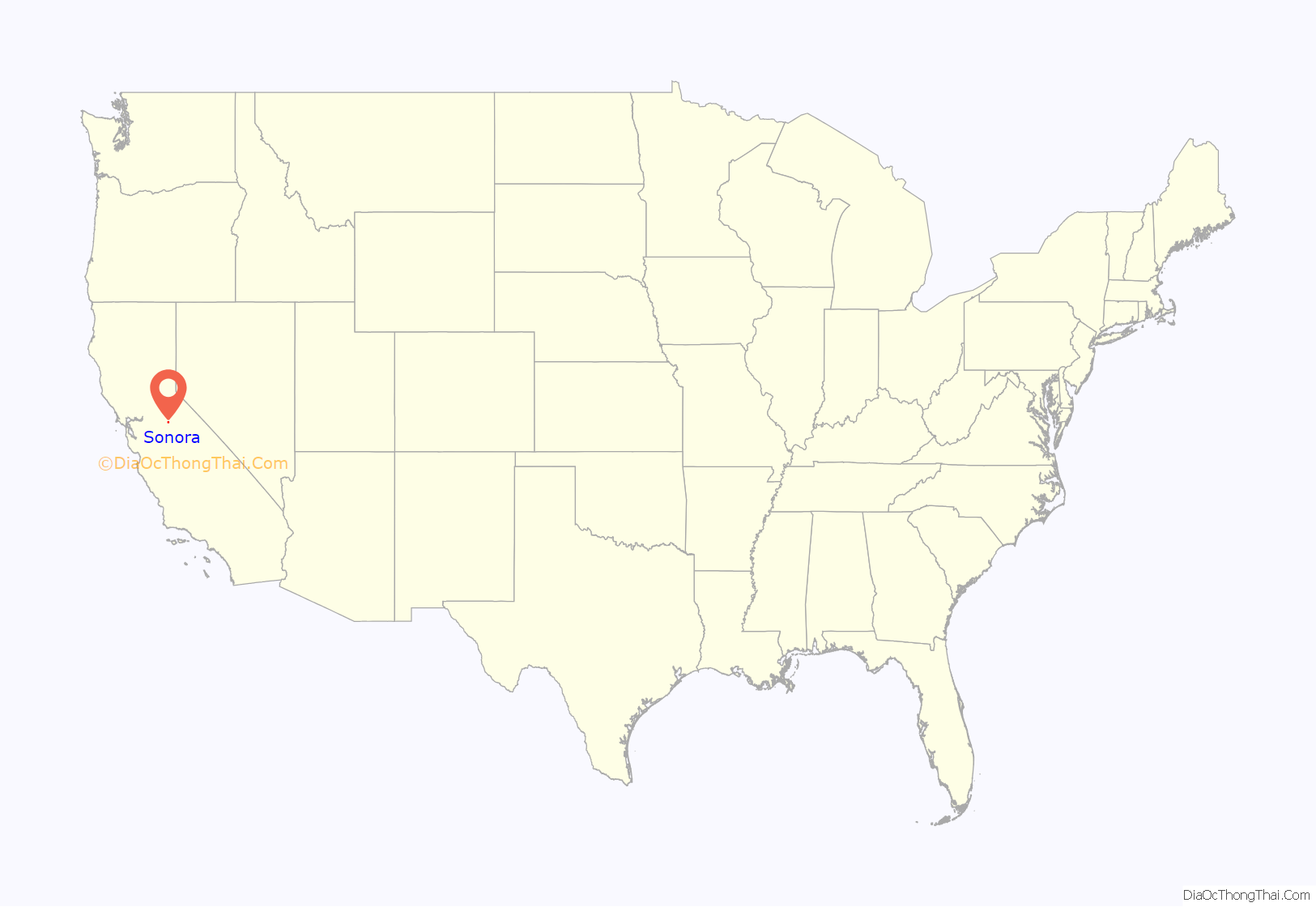
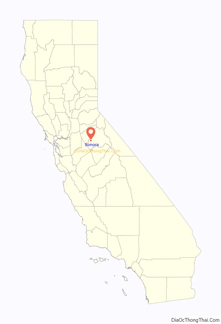
Sonora location map. Where is Sonora city?
History
Sonora was founded by Mexican miners during the California Gold Rush. Named after their home state of Sonora, Mexico, it was once a booming center of industry and trade in California’s Mother Lode. Most of the gold that was removable with traditional mining techniques was quickly extracted, leaving miners to use more complex and expensive mining techniques to reach deep pockets of quartz and gold. Sonora as well as other mining towns of the era experienced economic hardship when the value of gold decreased. As “gold fever” died down, Sonora’s size and population steadily decreased over the years. In c. 1851, the Sonora Hebrew Cemetery was formed by the Hebrew Benevolent Society and is mostly the graves of European-born Jews who emigrated to Gold Country.
As detailed in the 2005 memoir of novelist David Carkeet, Campus Sexpot, Sonora was fictionalized as “Wattsville”, the setting of Dale Koby’s cult/underground classic (also titled Campus Sexpot). The sequel, From Roundheel To Revolutionary by Jeff Daiell, also takes place primarily in “Wattsville”/Sonora.
A local museum preserves the town’s Gold Rush legacy.
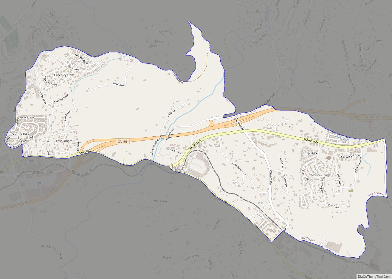
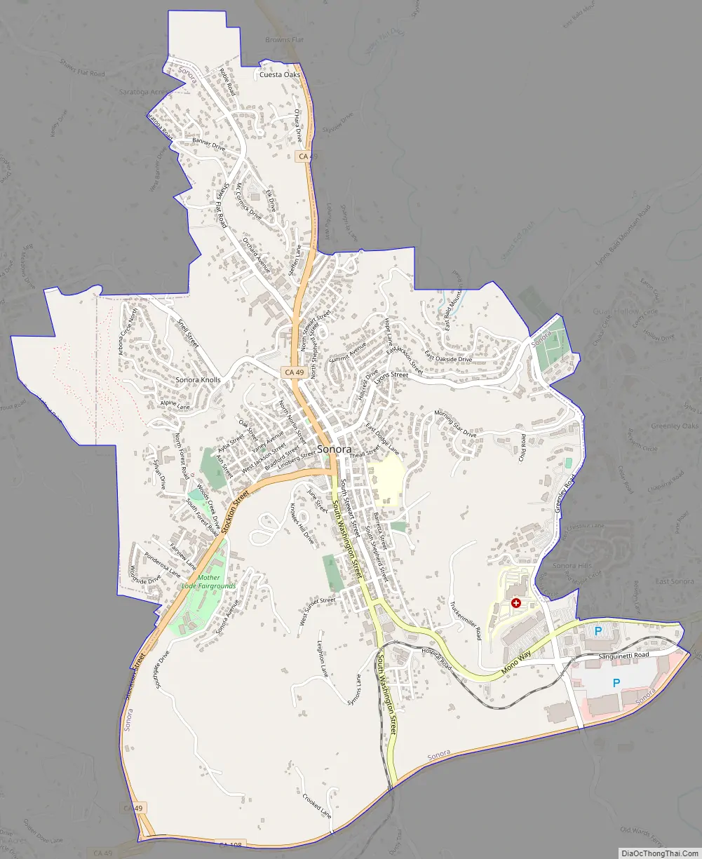
Sonora Road Map
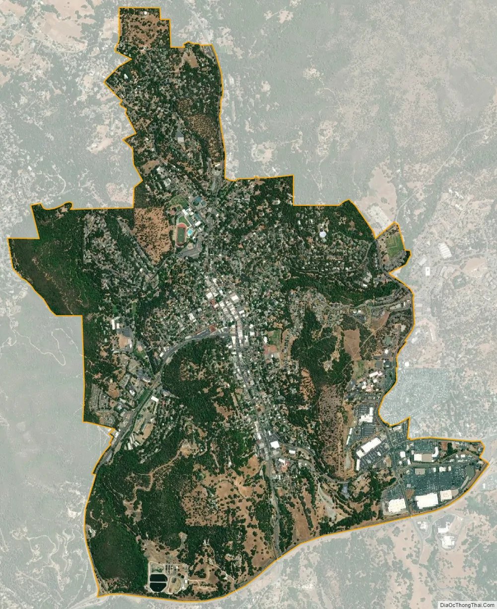
Sonora city Satellite Map
Geography
Sonora is located at 37°59′04″N 120°22′54″W / 37.984361°N 120.381767°W / 37.984361; -120.381767, around the intersection of California State Highways 49 and 108 The altitude is 1,825 feet (556 m). According to the United States Census Bureau, the city has a total area of 3.1 square miles (8.0 km), 99.55% of it land and 0.45% of it water.
See also
Map of California State and its subdivision:- Alameda
- Alpine
- Amador
- Butte
- Calaveras
- Colusa
- Contra Costa
- Del Norte
- El Dorado
- Fresno
- Glenn
- Humboldt
- Imperial
- Inyo
- Kern
- Kings
- Lake
- Lassen
- Los Angeles
- Madera
- Marin
- Mariposa
- Mendocino
- Merced
- Modoc
- Mono
- Monterey
- Napa
- Nevada
- Orange
- Placer
- Plumas
- Riverside
- Sacramento
- San Benito
- San Bernardino
- San Diego
- San Francisco
- San Joaquin
- San Luis Obispo
- San Mateo
- Santa Barbara
- Santa Clara
- Santa Cruz
- Shasta
- Sierra
- Siskiyou
- Solano
- Sonoma
- Stanislaus
- Sutter
- Tehama
- Trinity
- Tulare
- Tuolumne
- Ventura
- Yolo
- Yuba
- Alabama
- Alaska
- Arizona
- Arkansas
- California
- Colorado
- Connecticut
- Delaware
- District of Columbia
- Florida
- Georgia
- Hawaii
- Idaho
- Illinois
- Indiana
- Iowa
- Kansas
- Kentucky
- Louisiana
- Maine
- Maryland
- Massachusetts
- Michigan
- Minnesota
- Mississippi
- Missouri
- Montana
- Nebraska
- Nevada
- New Hampshire
- New Jersey
- New Mexico
- New York
- North Carolina
- North Dakota
- Ohio
- Oklahoma
- Oregon
- Pennsylvania
- Rhode Island
- South Carolina
- South Dakota
- Tennessee
- Texas
- Utah
- Vermont
- Virginia
- Washington
- West Virginia
- Wisconsin
- Wyoming