Spreckels is an unincorporated community and census-designated place (CDP) in the Salinas Valley of Monterey County, California, United States. Spreckels is located 3 miles (5 km) south of Salinas, at an elevation of 62 ft (19 m). Its population was 692 at the 2020 census.
Spreckels is one of the best-preserved company towns in the United States. It was built to house workers for the Spreckels Sugar Company plant, which operated there from 1899 until 1982, named after its founder “Sugar King” Claus Spreckels. When it opened, the Spreckels plant was the world’s largest sugar beet factory, each day consuming 13,000,000 US gal (49,000,000 L) of water—with much of it pumped from wells—to process 3,000 short tons (2,700 t) of beets.
Spreckels is associated with the writer John Steinbeck, who lived and worked there for a time, and used it as a setting in his novel Tortilla Flat. Spreckels was used as a location for the 1955 Steinbeck movie East of Eden.
| Name: | Spreckels CDP |
|---|---|
| LSAD Code: | 57 |
| LSAD Description: | CDP (suffix) |
| State: | California |
| County: | Monterey County |
| Elevation: | 62 ft (19 m) |
| Total Area: | 0.122 sq mi (0.316 km²) |
| Land Area: | 0.122 sq mi (0.316 km²) |
| Water Area: | 0 sq mi (0 km²) 0% |
| Total Population: | 692 |
| Population Density: | 5,700/sq mi (2,200/km²) |
| ZIP code: | 93962 |
| Area code: | 831 |
| FIPS code: | 0673612 |
| GNISfeature ID: | 1659842 |
Online Interactive Map
Click on ![]() to view map in "full screen" mode.
to view map in "full screen" mode.
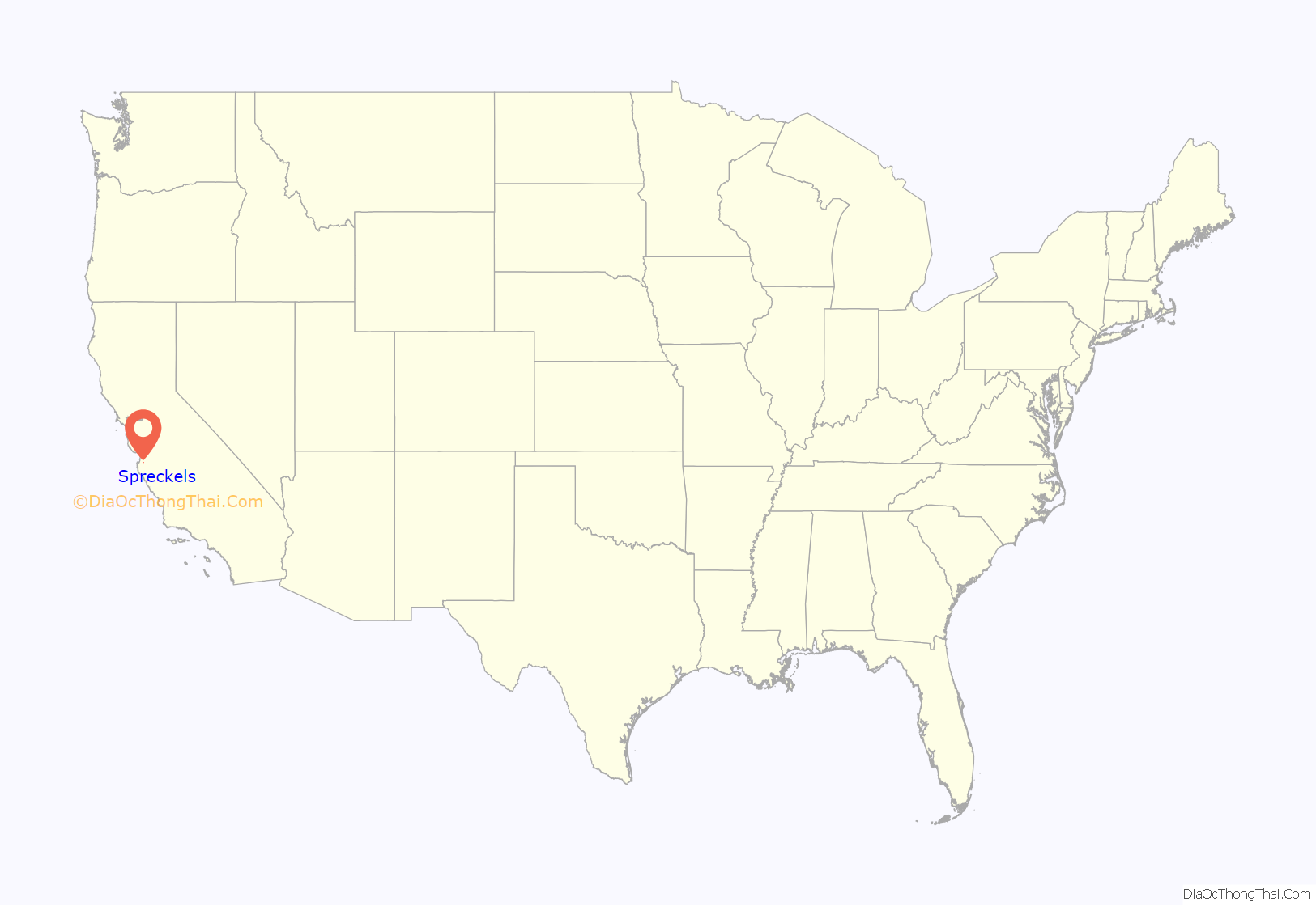
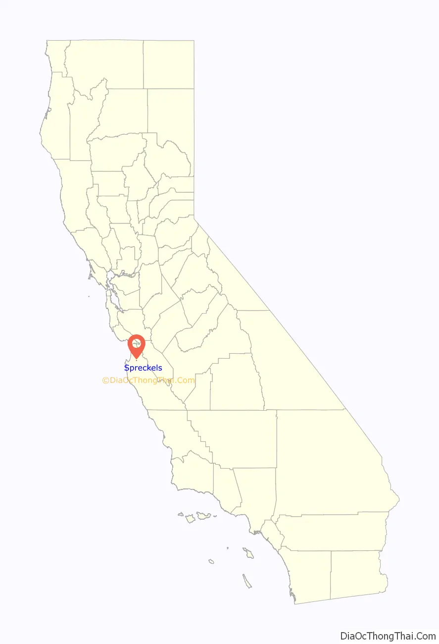
Spreckels location map. Where is Spreckels CDP?
History
The Spreckels post office opened in 1898. The name honors Claus Spreckels, who built a sugar mill at the site.
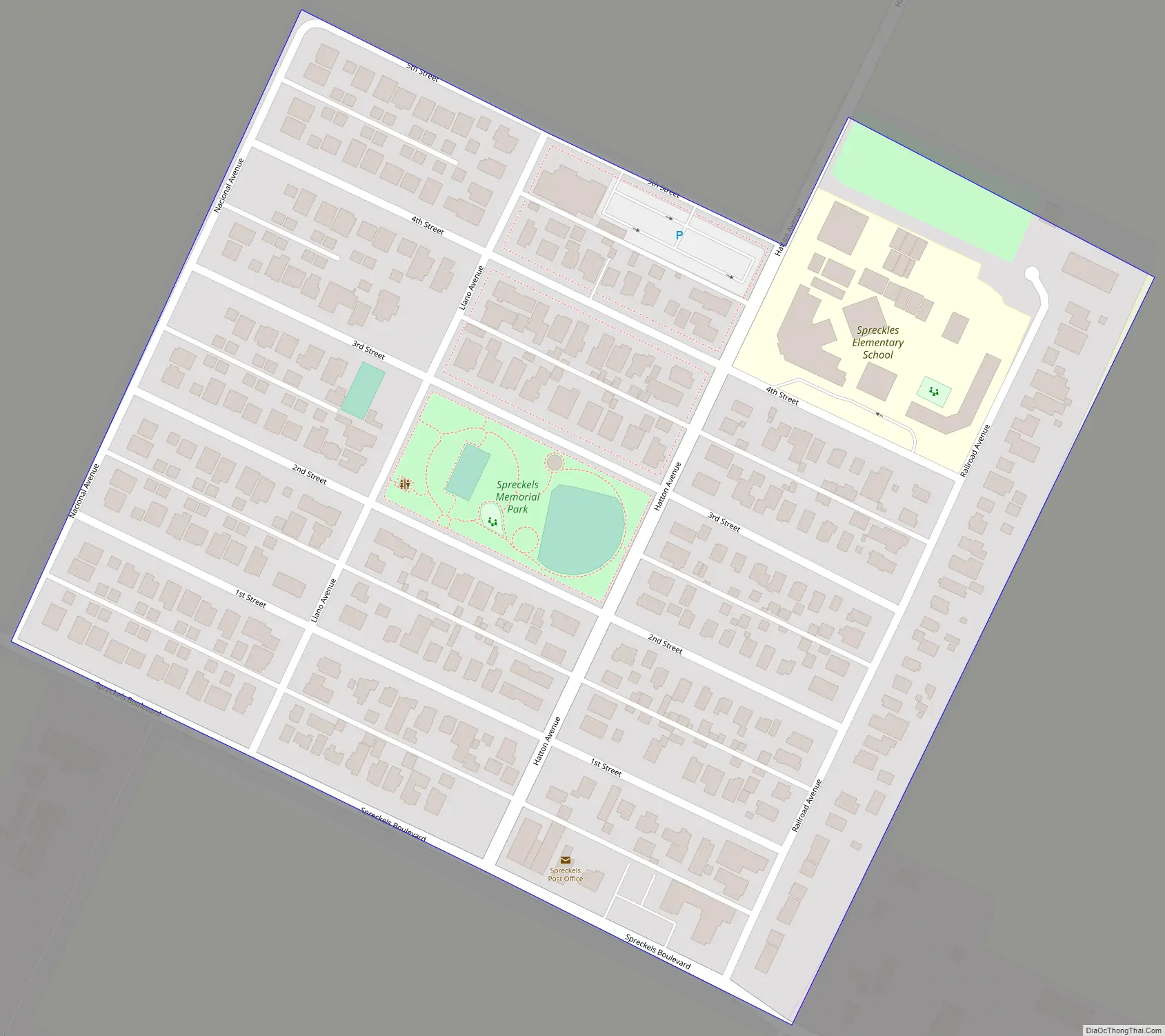
Spreckels Road Map
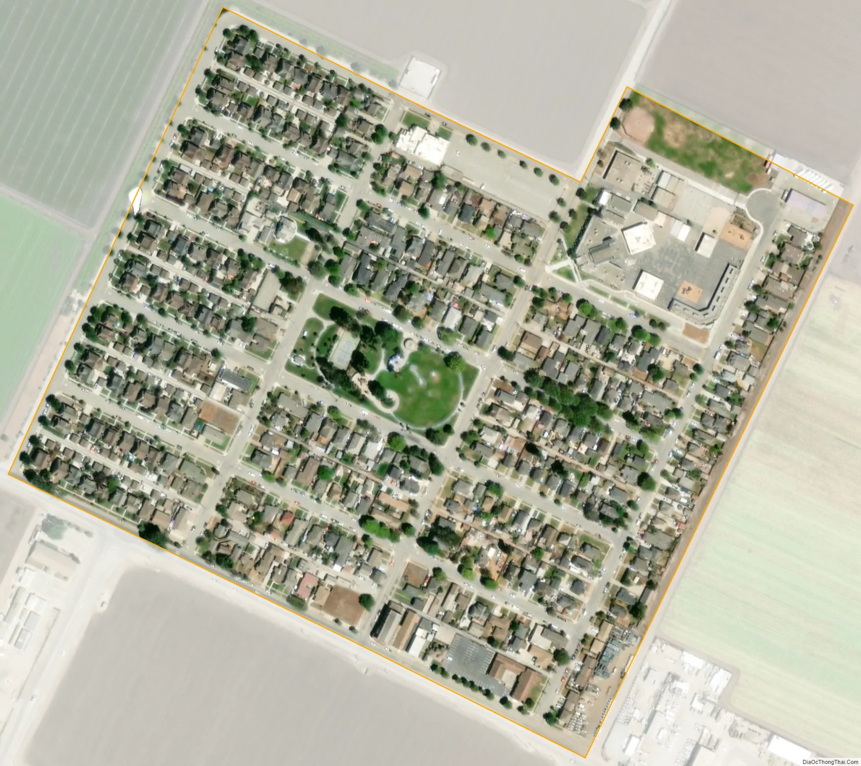
Spreckels city Satellite Map
Geography
Spreckels is located in northern Monterey County at 36°37′19″N 121°38′49″W / 36.62194°N 121.64694°W / 36.62194; -121.64694. It is about 3 miles (4.8 km) south of Salinas, the county seat, on the north side of the Salinas River, and approximately 2 miles (3 km) east of Old Hilltown.
According to the United States Census Bureau, the Spreckels CDP has a total area of 0.1 square miles (0.26 km), all of it land.
See also
Map of California State and its subdivision:- Alameda
- Alpine
- Amador
- Butte
- Calaveras
- Colusa
- Contra Costa
- Del Norte
- El Dorado
- Fresno
- Glenn
- Humboldt
- Imperial
- Inyo
- Kern
- Kings
- Lake
- Lassen
- Los Angeles
- Madera
- Marin
- Mariposa
- Mendocino
- Merced
- Modoc
- Mono
- Monterey
- Napa
- Nevada
- Orange
- Placer
- Plumas
- Riverside
- Sacramento
- San Benito
- San Bernardino
- San Diego
- San Francisco
- San Joaquin
- San Luis Obispo
- San Mateo
- Santa Barbara
- Santa Clara
- Santa Cruz
- Shasta
- Sierra
- Siskiyou
- Solano
- Sonoma
- Stanislaus
- Sutter
- Tehama
- Trinity
- Tulare
- Tuolumne
- Ventura
- Yolo
- Yuba
- Alabama
- Alaska
- Arizona
- Arkansas
- California
- Colorado
- Connecticut
- Delaware
- District of Columbia
- Florida
- Georgia
- Hawaii
- Idaho
- Illinois
- Indiana
- Iowa
- Kansas
- Kentucky
- Louisiana
- Maine
- Maryland
- Massachusetts
- Michigan
- Minnesota
- Mississippi
- Missouri
- Montana
- Nebraska
- Nevada
- New Hampshire
- New Jersey
- New Mexico
- New York
- North Carolina
- North Dakota
- Ohio
- Oklahoma
- Oregon
- Pennsylvania
- Rhode Island
- South Carolina
- South Dakota
- Tennessee
- Texas
- Utah
- Vermont
- Virginia
- Washington
- West Virginia
- Wisconsin
- Wyoming


