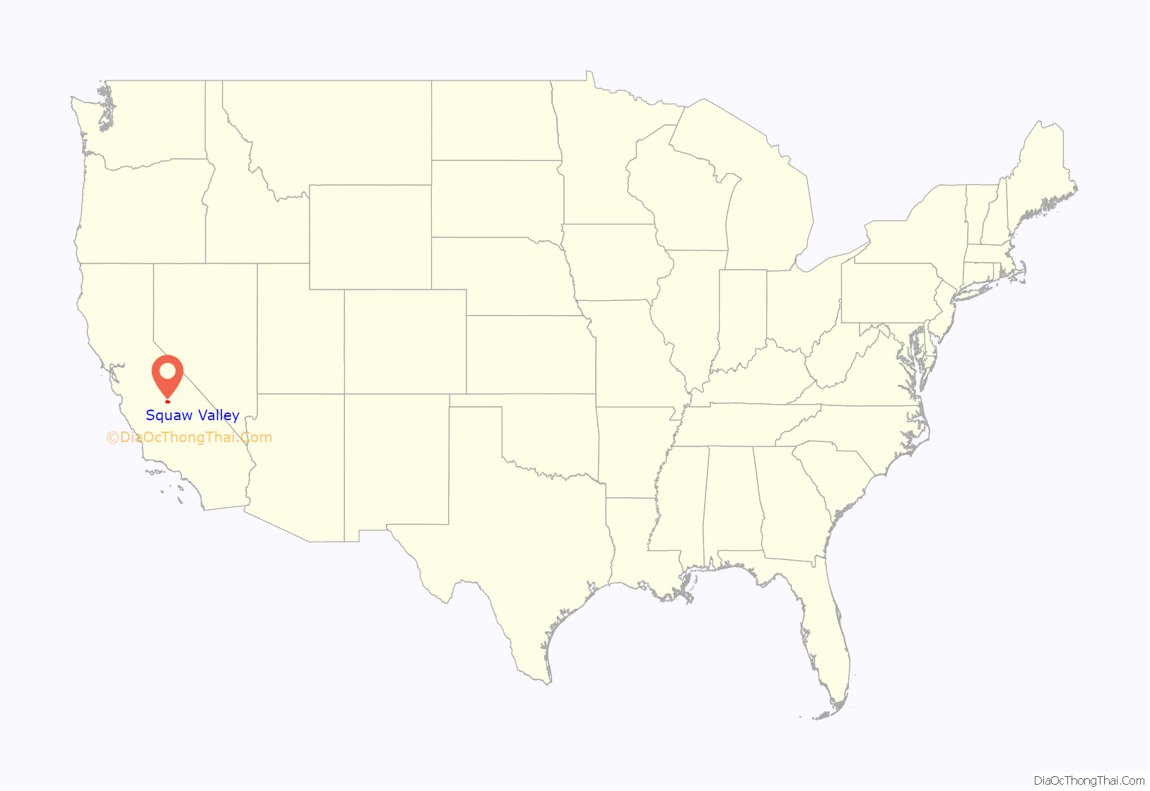
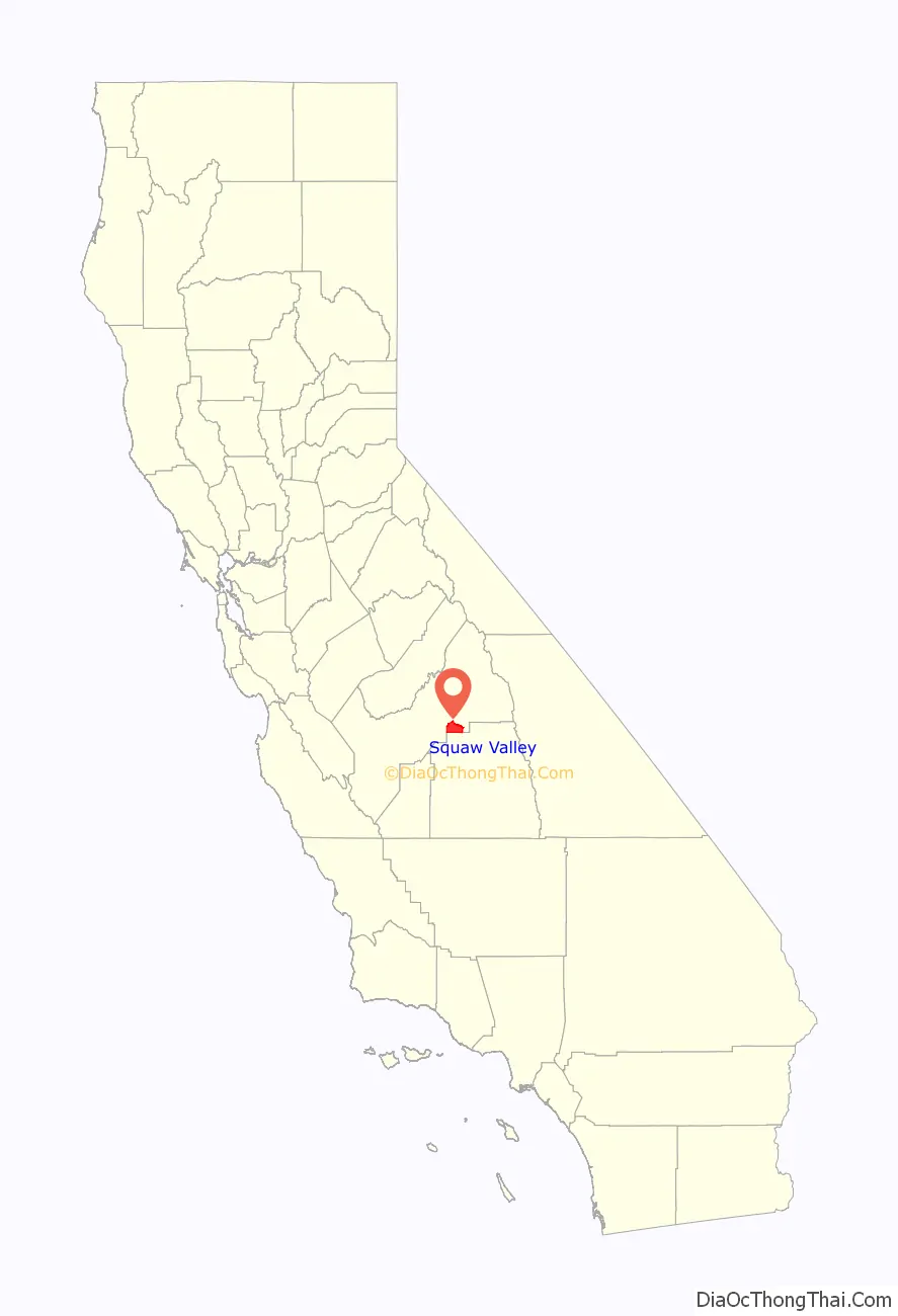
Yokuts Valley (/ˈjoʊkəts/ YOH-kəts; formerly Squaw Valley) is a census-designated place located in Fresno County, California, at the foothills of the Sierra Nevada on State Route 180 just below Kings Canyon National Park.
As of the 2010 census, the CDP had a total population of 3,162, up from 2,691 at the 2000 census. Yokuts Valley is located 9 miles (14 km) north-northeast of Orange Cove and 30 miles (48 km) east of Fresno, at an elevation of 1,631 ft (497 m).
| Name: | Squaw Valley CDP |
|---|---|
| LSAD Code: | 57 |
| LSAD Description: | CDP (suffix) |
| State: | California |
| County: | Fresno County |
| Elevation: | 1,631 ft (497 m) |
| Total Area: | 56.610 sq mi (146.618 km²) |
| Land Area: | 56.559 sq mi (146.487 km²) |
| Water Area: | 0.051 sq mi (0.131 km²) 0.09% |
| Total Population: | 3,162 |
| Population Density: | 56/sq mi (22/km²) |
| ZIP code: | 93646, 93675 |
| Area code: | 559 |
| FIPS code: | 0673794 |
Online Interactive Map
Click on ![]() to view map in "full screen" mode.
to view map in "full screen" mode.
Squaw Valley location map. Where is Squaw Valley CDP?
History
Present-day Yokuts Valley was originally the home of Yokuts and Mono people. In 1869, the Simpson Drake family became the first recorded non-Indigenous family to settle in the basin. An early reference to Yokuts Valley appears in an 1884 issue of an Idaho newspaper.
The first post office opened in Squaw Valley in 1879. It was renamed Squawvalley in 1895 before closing in 1918. It reopened in 1923, renamed back to Squaw Valley in 1932, and closed again in 1945 in favor of the nearby Orange Cove post office. The Squaw Valley post office was established a third time in 1960.
In the 1960s, the community moved east to its current location. In 1994, the Fresno County Public Library’s Bear Mountain Branch Library relocated to the community from Dunlap, where it had been since 1915.
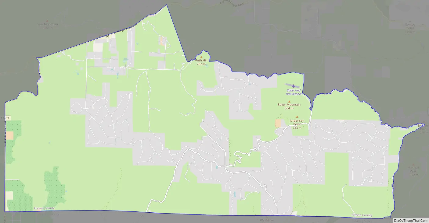
Squaw Valley Road Map
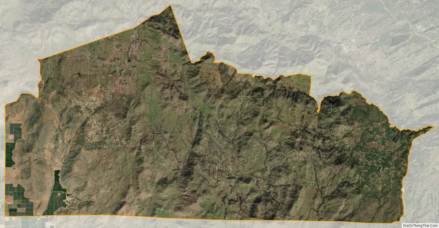
Squaw Valley city Satellite Map
Geography
The community is located in the Yokuts Basin. According to the United States Census Bureau, the CDP has a total area of 56.6 square miles (146.6 km), of which over 99% is land. The Squaw Valley-Miramonte AVA grape-growing region is centered around the community.
See also
Map of California State and its subdivision:- Alameda
- Alpine
- Amador
- Butte
- Calaveras
- Colusa
- Contra Costa
- Del Norte
- El Dorado
- Fresno
- Glenn
- Humboldt
- Imperial
- Inyo
- Kern
- Kings
- Lake
- Lassen
- Los Angeles
- Madera
- Marin
- Mariposa
- Mendocino
- Merced
- Modoc
- Mono
- Monterey
- Napa
- Nevada
- Orange
- Placer
- Plumas
- Riverside
- Sacramento
- San Benito
- San Bernardino
- San Diego
- San Francisco
- San Joaquin
- San Luis Obispo
- San Mateo
- Santa Barbara
- Santa Clara
- Santa Cruz
- Shasta
- Sierra
- Siskiyou
- Solano
- Sonoma
- Stanislaus
- Sutter
- Tehama
- Trinity
- Tulare
- Tuolumne
- Ventura
- Yolo
- Yuba
- Alabama
- Alaska
- Arizona
- Arkansas
- California
- Colorado
- Connecticut
- Delaware
- District of Columbia
- Florida
- Georgia
- Hawaii
- Idaho
- Illinois
- Indiana
- Iowa
- Kansas
- Kentucky
- Louisiana
- Maine
- Maryland
- Massachusetts
- Michigan
- Minnesota
- Mississippi
- Missouri
- Montana
- Nebraska
- Nevada
- New Hampshire
- New Jersey
- New Mexico
- New York
- North Carolina
- North Dakota
- Ohio
- Oklahoma
- Oregon
- Pennsylvania
- Rhode Island
- South Carolina
- South Dakota
- Tennessee
- Texas
- Utah
- Vermont
- Virginia
- Washington
- West Virginia
- Wisconsin
- Wyoming


