Sun Village is an unincorporated community and census-designated place (CDP) in Los Angeles County, California, United States. It is in the eastern Antelope Valley at an elevation of 2,723 feet (830 m). The center of Sun Village may be considered to be Palmdale Boulevard and 87th Street East as noted at the Los Angeles County Assessors office. As of the 2010 census the population of Sun Village was 11,565, up from 9,375 at the 2000 census.
Sun Village has been awarded federal, state, and county grants for the community based on this Avenue U boundary. There is a movement from the Sun Village Town Council to rebrand the area with the Sun Village name, which fell out of popularity in the early 1980s. New road signage erected around 2011 now labels Sun Village as a unique community.
In 2007, the Sun Village and Littlerock town councils formed a Community Standard District together, and it was approved by the Los Angeles County Board of Supervisors.
On September 3, 2014, officials from Sun Village and the city of Palmdale gathered at the Palmdale City Council Chamber to sign a Memorandum of Understanding (MOU) in which Palmdale removed its sphere of influence from Sun Village.
Sun Village residents, as in many other Antelope Valley communities, take part in local pageants and parades. The community operates its own local chamber of commerce and town council.
Jackie Robinson County Park is a focal point in Sun Village. The Sun Village Women’s Club donated the land to the county to build a park for the community. Jackie Robinson came to the park in person to dedicate it to the community. The Friends of Jackie Robinson Park have kept the dream alive by raising funds throughout the year and supporting programs and projects in the park. There are after-school programs, sports programs, homework help, music, marching and cheer leading.
Composer and musician Frank Zappa played his music in Sun Village and made many friends there in the beginning of his career. He pays homage to Sun Village in the song “Village of the Sun” from the 1974 album Roxy and Elsewhere.
| Name: | Sun Village CDP |
|---|---|
| LSAD Code: | 57 |
| LSAD Description: | CDP (suffix) |
| State: | California |
| County: | Los Angeles County |
| Elevation: | 2,723 ft (830 m) |
| Total Area: | 4.686 sq mi (16.677 km²) |
| Land Area: | 4.686 sq mi (16.675 km²) |
| Water Area: | 0 sq mi (0.001 km²) 0% |
| Total Population: | 11,565 |
| Population Density: | 2,500/sq mi (690/km²) |
| ZIP code: | 93543 |
| Area code: | 661 |
| FIPS code: | 0677308 |
| GNISfeature ID: | 2583157 |
Online Interactive Map
Click on ![]() to view map in "full screen" mode.
to view map in "full screen" mode.
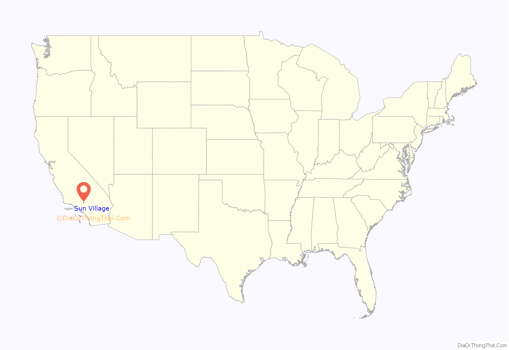
Sun Village location map. Where is Sun Village CDP?
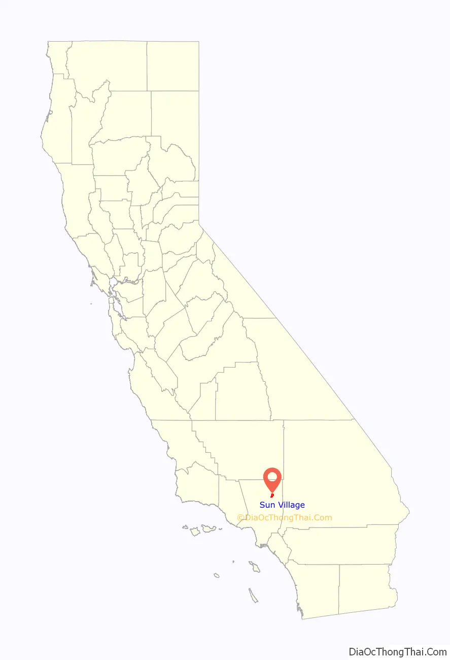
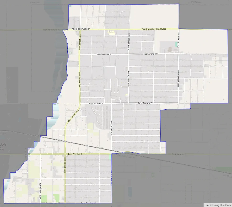
Sun Village Road Map
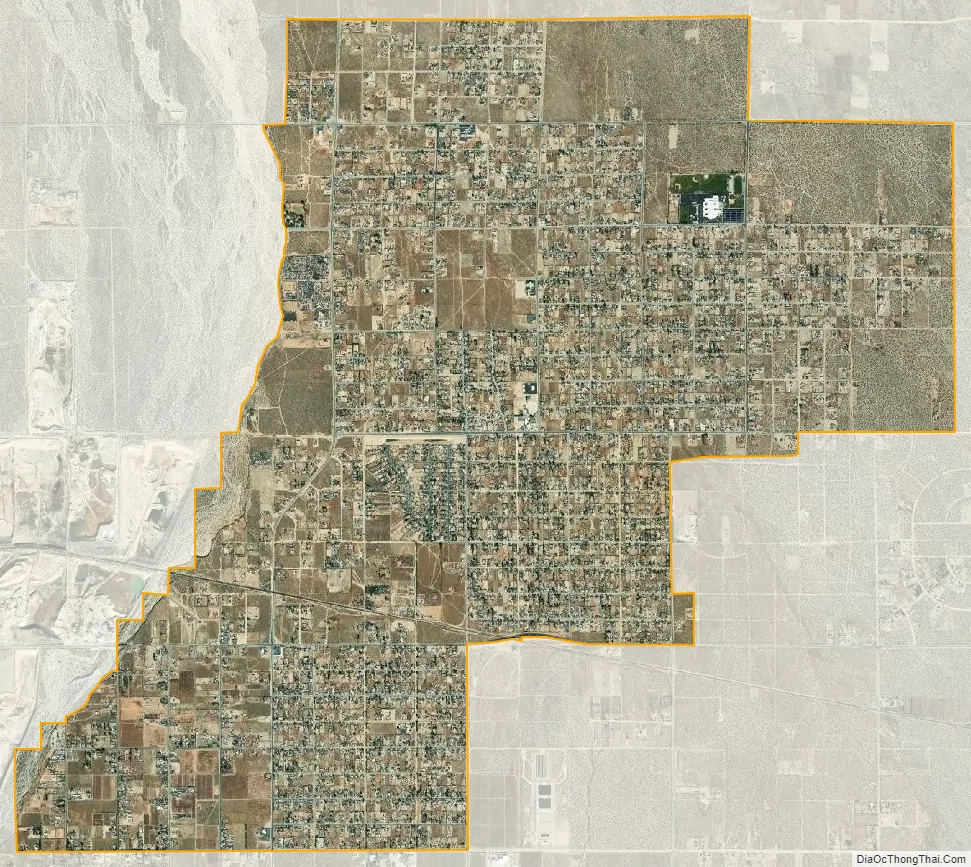
Sun Village city Satellite Map
Geography
According to the United States Census Bureau, the CDP has a total area of 10.7 square miles (27.7 km), of which 0.30 acres (1,232 m) were listed as water.
See also
Map of California State and its subdivision:- Alameda
- Alpine
- Amador
- Butte
- Calaveras
- Colusa
- Contra Costa
- Del Norte
- El Dorado
- Fresno
- Glenn
- Humboldt
- Imperial
- Inyo
- Kern
- Kings
- Lake
- Lassen
- Los Angeles
- Madera
- Marin
- Mariposa
- Mendocino
- Merced
- Modoc
- Mono
- Monterey
- Napa
- Nevada
- Orange
- Placer
- Plumas
- Riverside
- Sacramento
- San Benito
- San Bernardino
- San Diego
- San Francisco
- San Joaquin
- San Luis Obispo
- San Mateo
- Santa Barbara
- Santa Clara
- Santa Cruz
- Shasta
- Sierra
- Siskiyou
- Solano
- Sonoma
- Stanislaus
- Sutter
- Tehama
- Trinity
- Tulare
- Tuolumne
- Ventura
- Yolo
- Yuba
- Alabama
- Alaska
- Arizona
- Arkansas
- California
- Colorado
- Connecticut
- Delaware
- District of Columbia
- Florida
- Georgia
- Hawaii
- Idaho
- Illinois
- Indiana
- Iowa
- Kansas
- Kentucky
- Louisiana
- Maine
- Maryland
- Massachusetts
- Michigan
- Minnesota
- Mississippi
- Missouri
- Montana
- Nebraska
- Nevada
- New Hampshire
- New Jersey
- New Mexico
- New York
- North Carolina
- North Dakota
- Ohio
- Oklahoma
- Oregon
- Pennsylvania
- Rhode Island
- South Carolina
- South Dakota
- Tennessee
- Texas
- Utah
- Vermont
- Virginia
- Washington
- West Virginia
- Wisconsin
- Wyoming


