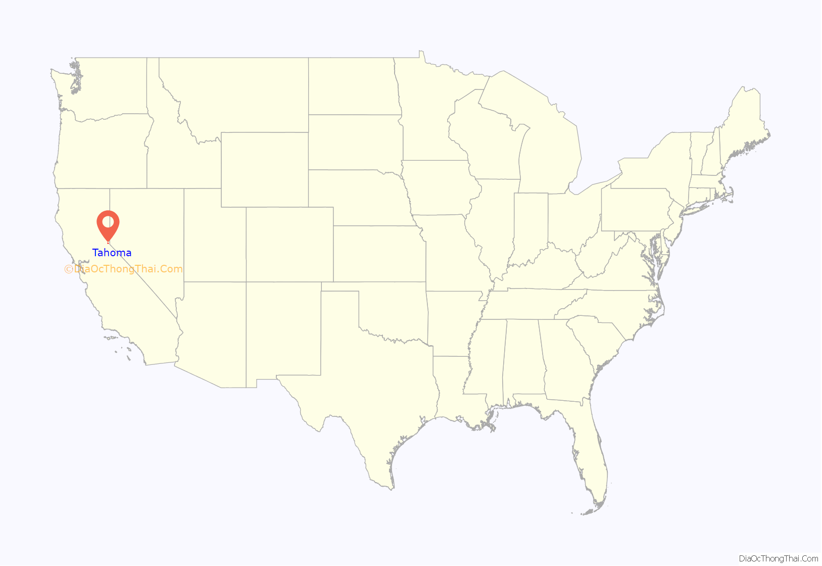
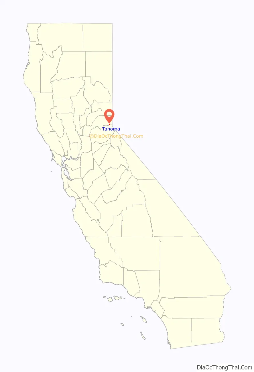
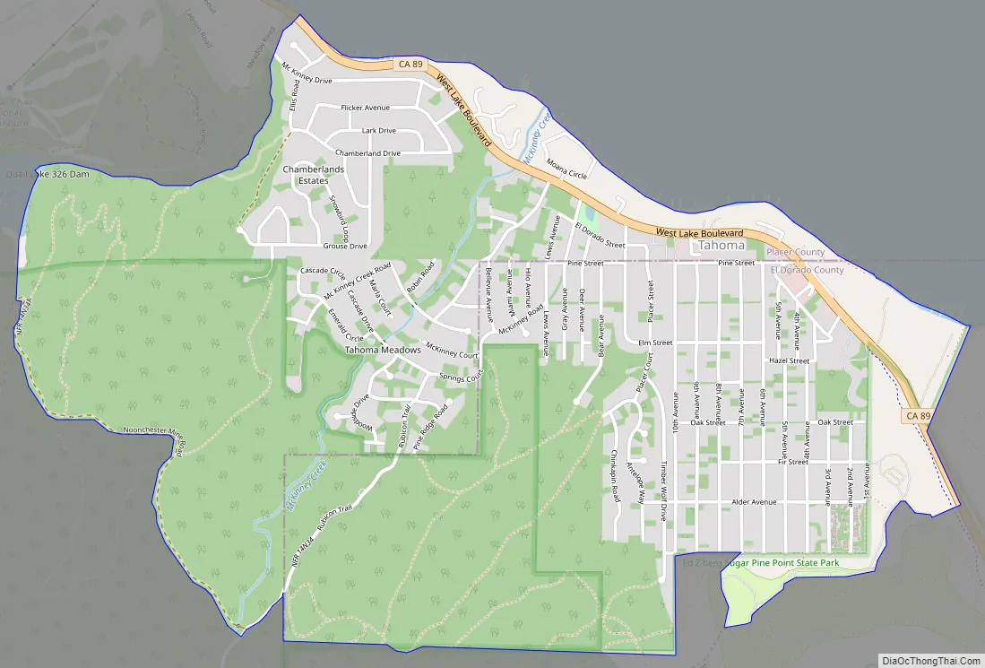
Tahoma (formerly Chambers Lodge) is a census-designated place in Placer and El Dorado counties, California, United States. Tahoma is located along Lake Tahoe 2 miles (3.2 km) southeast of Homewood. Tahoma has a population of 1,191 (780 in El Dorado County and 411 in Placer County).
Tahoma has a post office with ZIP code 96142, which opened in 1946.
| Name: | Tahoma CDP |
|---|---|
| LSAD Code: | 57 |
| LSAD Description: | CDP (suffix) |
| State: | California |
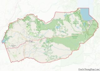
| County: | El Dorado County, Placer County |
| Elevation: | 6,270 ft (1,910 m) |
| Total Area: | 2.594 sq mi (6.717 km²) |
| Land Area: | 2.594 sq mi (6.717 km²) |
| Water Area: | 0 sq mi (0 km²) |
| Total Population: | 1,191 |
| Population Density: | 460/sq mi (180/km²) |
| ZIP code: | 96142 |
| Area code: | 530 |
| FIPS code: | 0677728 |
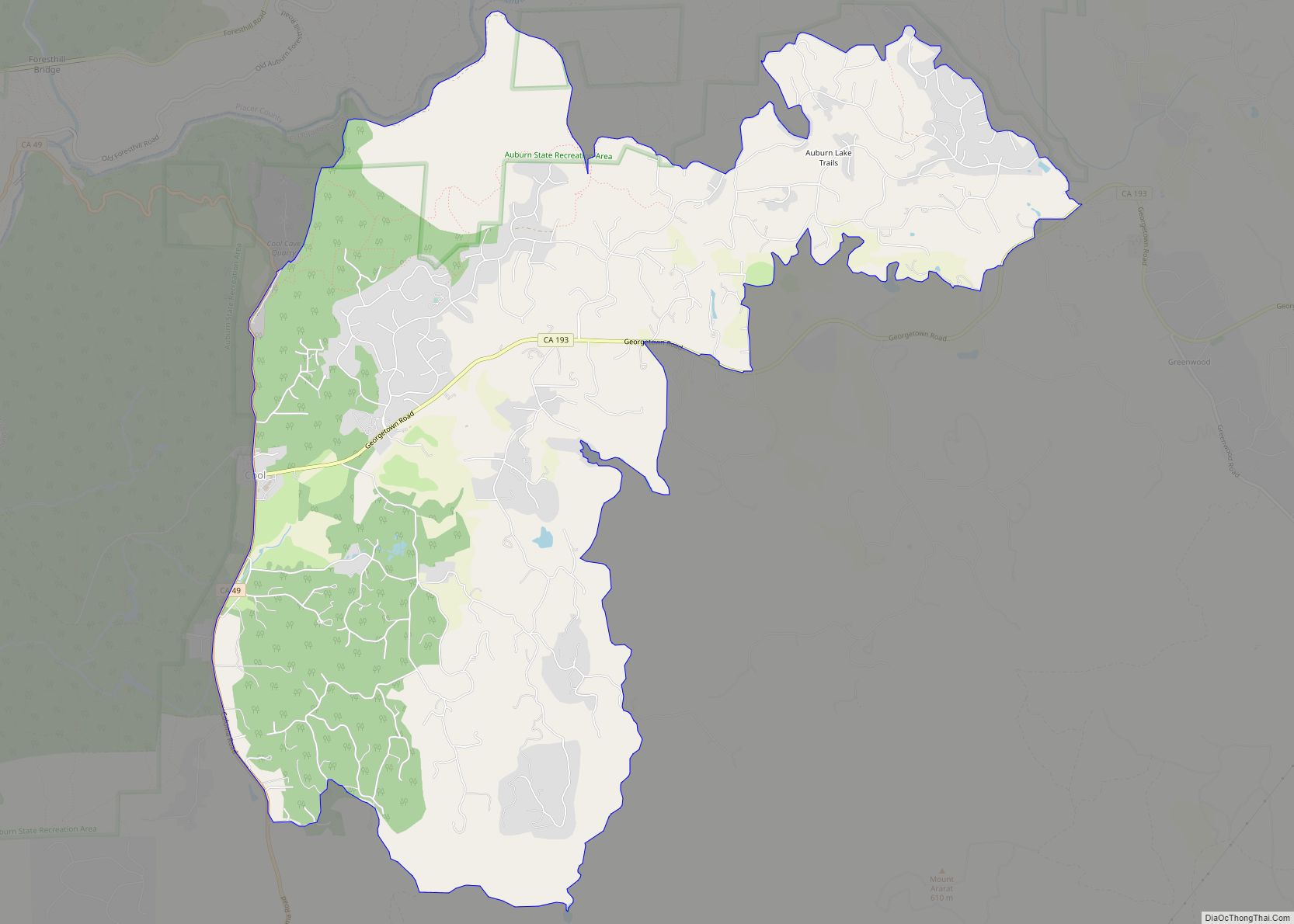
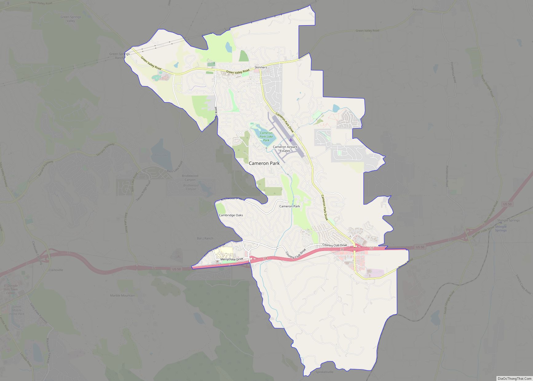
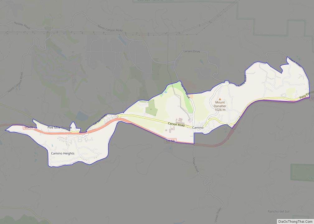
Online Interactive Map
Click on ![]() to view map in "full screen" mode.
to view map in "full screen" mode.
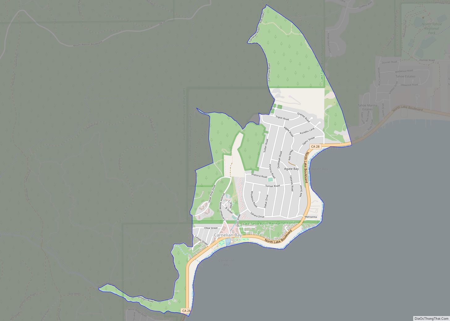
Tahoma location map. Where is Tahoma CDP?
History
Tahoma started as a resort in 1916. The place name was created from combining “Tahoe” and “home”.
During the 1960 Winter Olympics in nearby Squaw Valley, Tahoma was selected as the site of the cross-country skiing and biathlon, as there was insufficient space in Squaw Valley. The temporary McKinney Creek Stadium was built for the game and demolished afterwards.
Tahoma Road Map
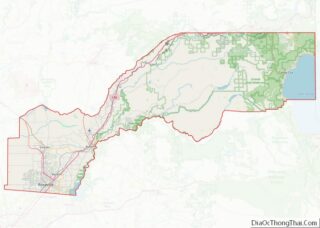
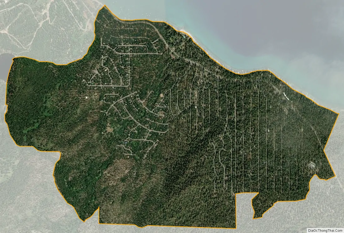
Tahoma city Satellite Map
Geography
According to the United States Census Bureau, the CDP covers an area of 2.6 square miles (6.7 km), all of it land.
Climate
See also
Map of California State and its subdivision:- Alameda
- Alpine
- Amador
- Butte
- Calaveras
- Colusa
- Contra Costa
- Del Norte
- El Dorado
- Fresno
- Glenn
- Humboldt
- Imperial
- Inyo
- Kern
- Kings
- Lake
- Lassen
- Los Angeles
- Madera
- Marin
- Mariposa
- Mendocino
- Merced
- Modoc
- Mono
- Monterey
- Napa
- Nevada
- Orange
- Placer
- Plumas
- Riverside
- Sacramento
- San Benito
- San Bernardino
- San Diego
- San Francisco
- San Joaquin
- San Luis Obispo
- San Mateo
- Santa Barbara
- Santa Clara
- Santa Cruz
- Shasta
- Sierra
- Siskiyou
- Solano
- Sonoma
- Stanislaus
- Sutter
- Tehama
- Trinity
- Tulare
- Tuolumne
- Ventura
- Yolo
- Yuba
- Alabama
- Alaska
- Arizona
- Arkansas
- California
- Colorado
- Connecticut
- Delaware
- District of Columbia
- Florida
- Georgia
- Hawaii
- Idaho
- Illinois
- Indiana
- Iowa
- Kansas
- Kentucky
- Louisiana
- Maine
- Maryland
- Massachusetts
- Michigan
- Minnesota
- Mississippi
- Missouri
- Montana
- Nebraska
- Nevada
- New Hampshire
- New Jersey
- New Mexico
- New York
- North Carolina
- North Dakota
- Ohio
- Oklahoma
- Oregon
- Pennsylvania
- Rhode Island
- South Carolina
- South Dakota
- Tennessee
- Texas
- Utah
- Vermont
- Virginia
- Washington
- West Virginia
- Wisconsin
- Wyoming