Tecopa (formerly Brownsville) is a census-designated place (CDP) in southeast Inyo County, California, United States. It was established in the late 19th century as mining town. It is now better known for the natural hot springs north of the current townsite.
Tecopa was named after the Paiute leader Chief Tecopa. It was the subject of an important article by John Gregory Dunne published in the Saturday Evening Post and reprinted in Dunne’s book, Quintana & Friends, published by Dutton in 1978.
| Name: | Tecopa CDP |
|---|---|
| LSAD Code: | 57 |
| LSAD Description: | CDP (suffix) |
| State: | California |
| County: | Inyo County |
| Elevation: | 1,339 ft (408 m) |
| Total Area: | 18.657 sq mi (48.323 km²) |
| Land Area: | 18.589 sq mi (48.146 km²) |
| Water Area: | 0.068 sq mi (0.177 km²) 0.37% |
| Total Population: | 120 |
| ZIP code: | 92389 |
| FIPS code: | 0678050 |
| GNISfeature ID: | 0250293 |
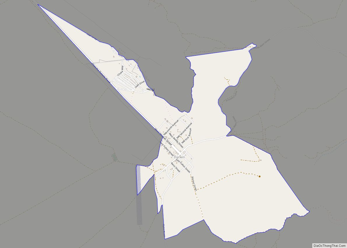
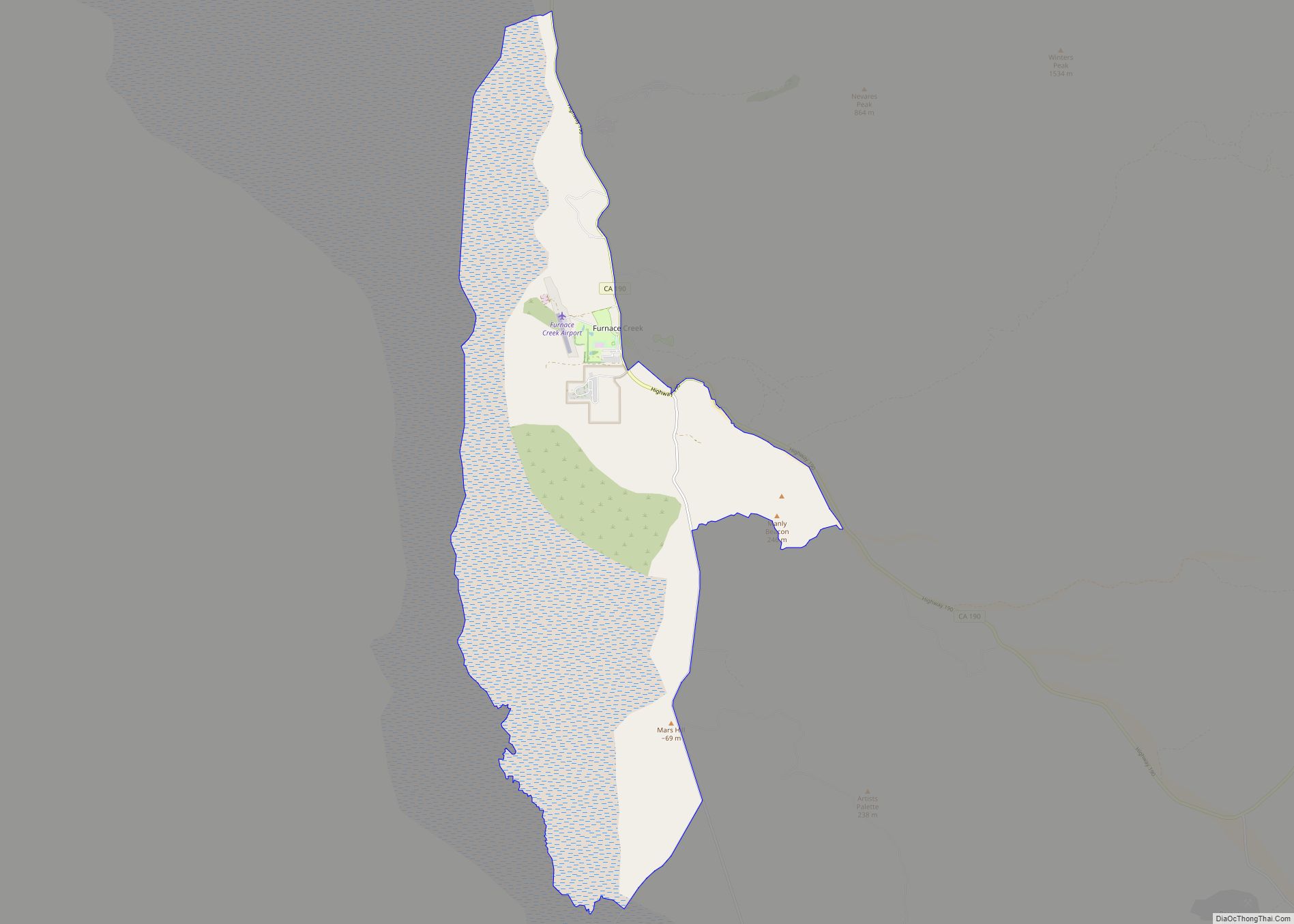
Online Interactive Map
Click on ![]() to view map in "full screen" mode.
to view map in "full screen" mode.
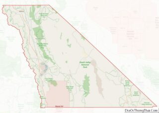
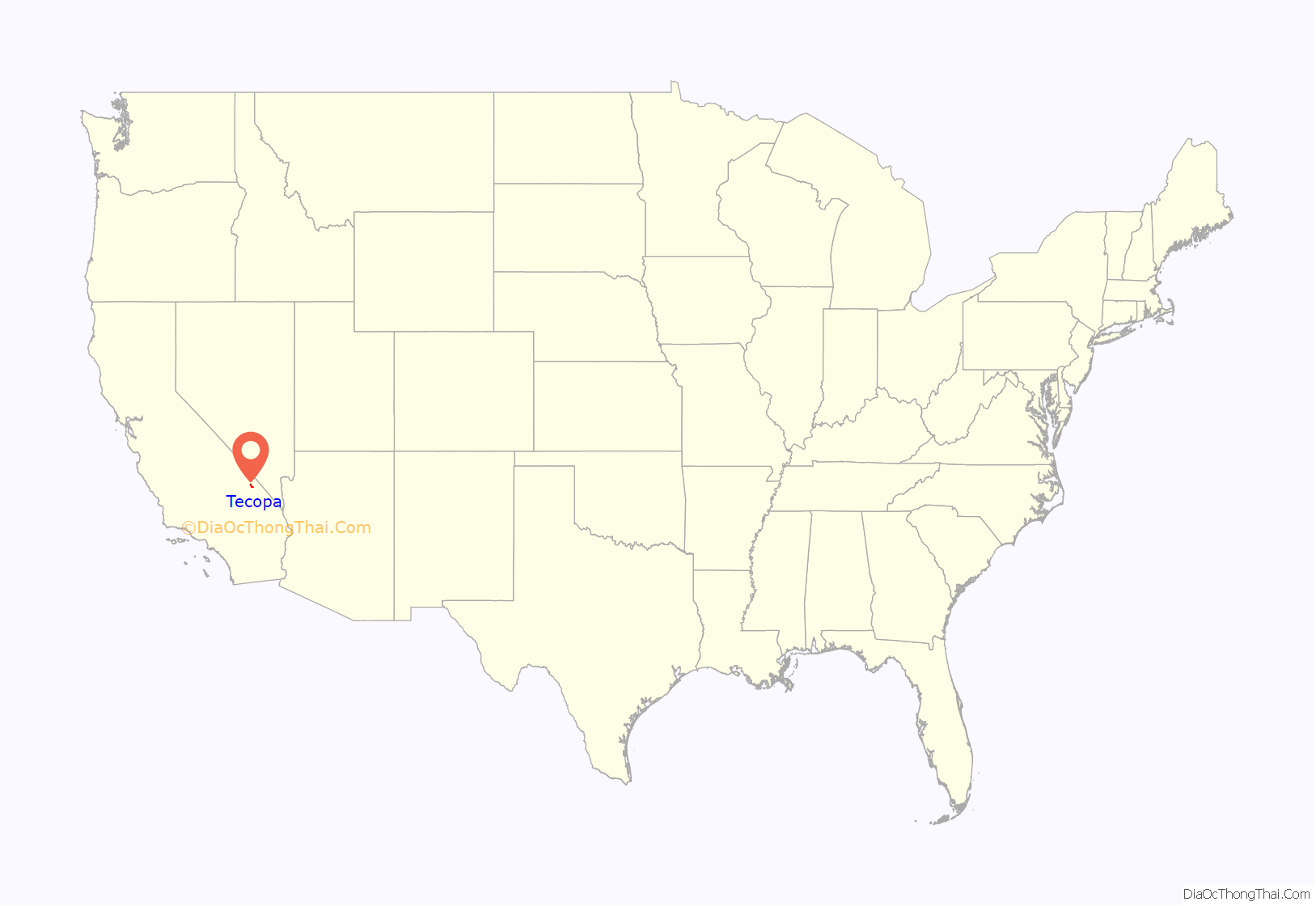
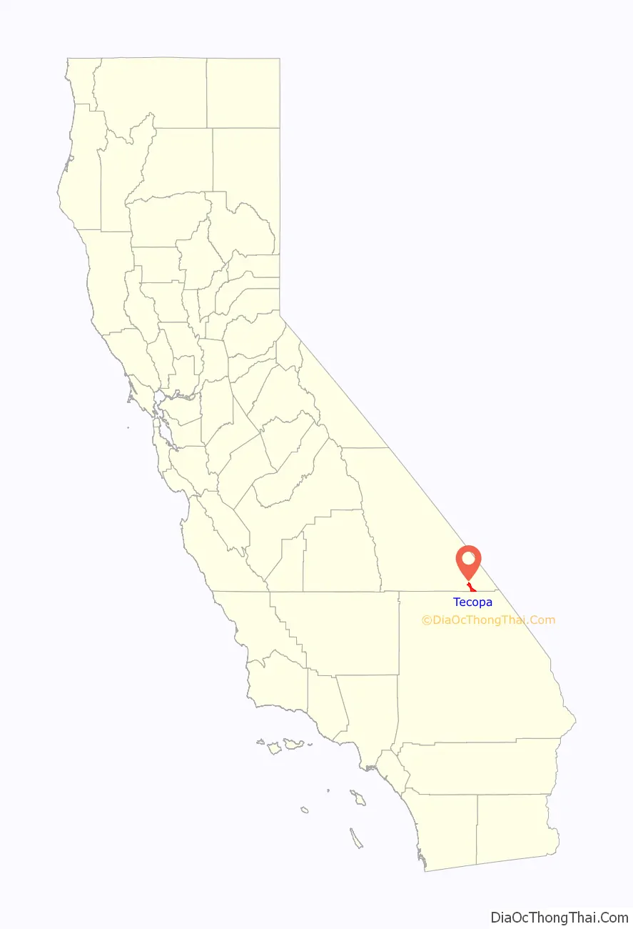
Tecopa location map. Where is Tecopa CDP?
History
The Old Spanish Trail and the later wagon road called the Old Mormon Road or Salt Lake Road, passed from Resting Springs, east of the modern site of Tecopa, 7 miles to Willow Creek (fed by Willow Spring within China Ranch Wash on the east bank of the canyon of the Amargosa River (then called Saleratus Creek)), south of Tecopa. In 1859, The Prairie Traveler, a popular handbook for overland travelers at that time described it:
There the trail turned to follow the river south to Salt Springs.
China Ranch Wash is named for the Chinese Man who developed Willow Creek around 1900 and raised meat and vegetables to sell to the miners.
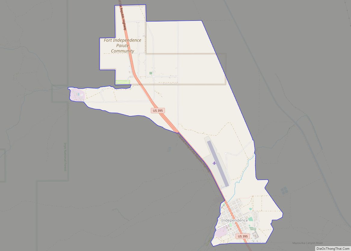
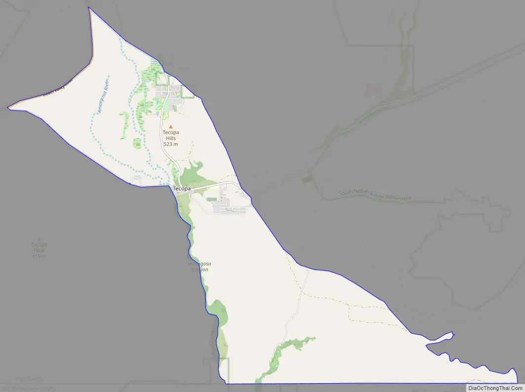
Tecopa Road Map
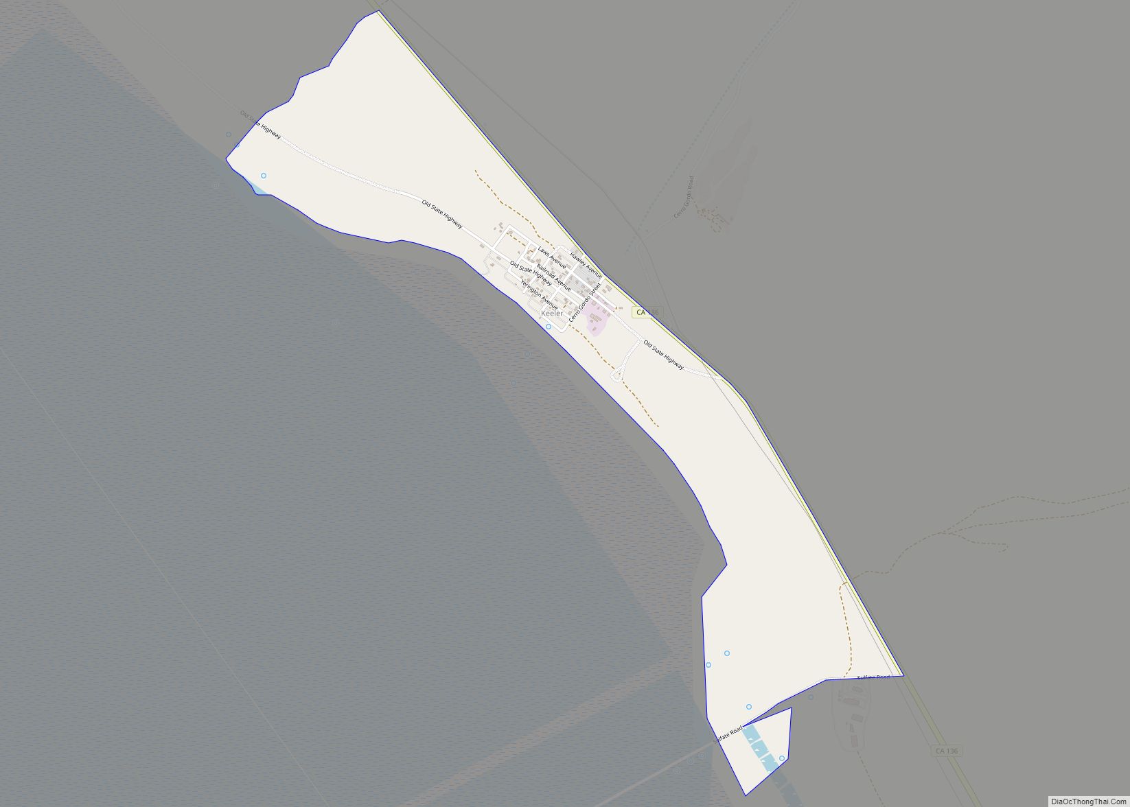
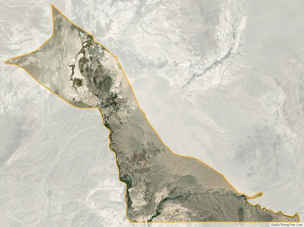
Tecopa city Satellite Map
Geography
Tecopa is within the Mojave Desert east of Death Valley National Park. According to the United States Census Bureau, the CDP has a total area of 18.7 square miles (48 km), of which, 18.6 square miles (48 km) of it is land and 0.1 square miles (0.26 km) of it (0.37%) is water.
See also
Map of California State and its subdivision:- Alameda
- Alpine
- Amador
- Butte
- Calaveras
- Colusa
- Contra Costa
- Del Norte
- El Dorado
- Fresno
- Glenn
- Humboldt
- Imperial
- Inyo
- Kern
- Kings
- Lake
- Lassen
- Los Angeles
- Madera
- Marin
- Mariposa
- Mendocino
- Merced
- Modoc
- Mono
- Monterey
- Napa
- Nevada
- Orange
- Placer
- Plumas
- Riverside
- Sacramento
- San Benito
- San Bernardino
- San Diego
- San Francisco
- San Joaquin
- San Luis Obispo
- San Mateo
- Santa Barbara
- Santa Clara
- Santa Cruz
- Shasta
- Sierra
- Siskiyou
- Solano
- Sonoma
- Stanislaus
- Sutter
- Tehama
- Trinity
- Tulare
- Tuolumne
- Ventura
- Yolo
- Yuba
- Alabama
- Alaska
- Arizona
- Arkansas
- California
- Colorado
- Connecticut
- Delaware
- District of Columbia
- Florida
- Georgia
- Hawaii
- Idaho
- Illinois
- Indiana
- Iowa
- Kansas
- Kentucky
- Louisiana
- Maine
- Maryland
- Massachusetts
- Michigan
- Minnesota
- Mississippi
- Missouri
- Montana
- Nebraska
- Nevada
- New Hampshire
- New Jersey
- New Mexico
- New York
- North Carolina
- North Dakota
- Ohio
- Oklahoma
- Oregon
- Pennsylvania
- Rhode Island
- South Carolina
- South Dakota
- Tennessee
- Texas
- Utah
- Vermont
- Virginia
- Washington
- West Virginia
- Wisconsin
- Wyoming