Topaz (also Topaz Post Office) is an unincorporated community and census-designated place (CDP) in Mono County, California, United States. It is located 3 miles (5 km) north of Coleville, at an elevation of 5,033 feet (1,534 m). Topaz’s ZIP Code is 96133. The population was 150 at the 2020 census.
| Name: | Topaz CDP |
|---|---|
| LSAD Code: | 57 |
| LSAD Description: | CDP (suffix) |
| State: | California |
| County: | Mono County |
| Elevation: | 5,033 ft (1,534 m) |
| Total Area: | 13.474 sq mi (34.90 km²) |
| Land Area: | 12.177 sq mi (31.54 km²) |
| Water Area: | 1.297 sq mi (3.36 km²) 9.63% |
| Total Population: | 150 |
| ZIP code: | 96133 |
| Area code: | 760; 442 |
| FIPS code: | 0679030 |
| GNISfeature ID: | 2583165 |
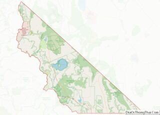
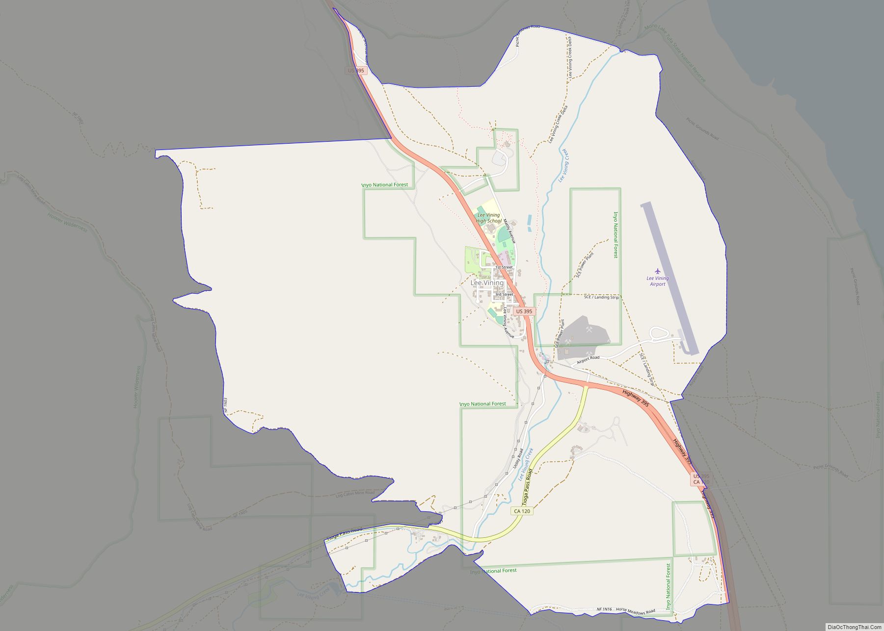
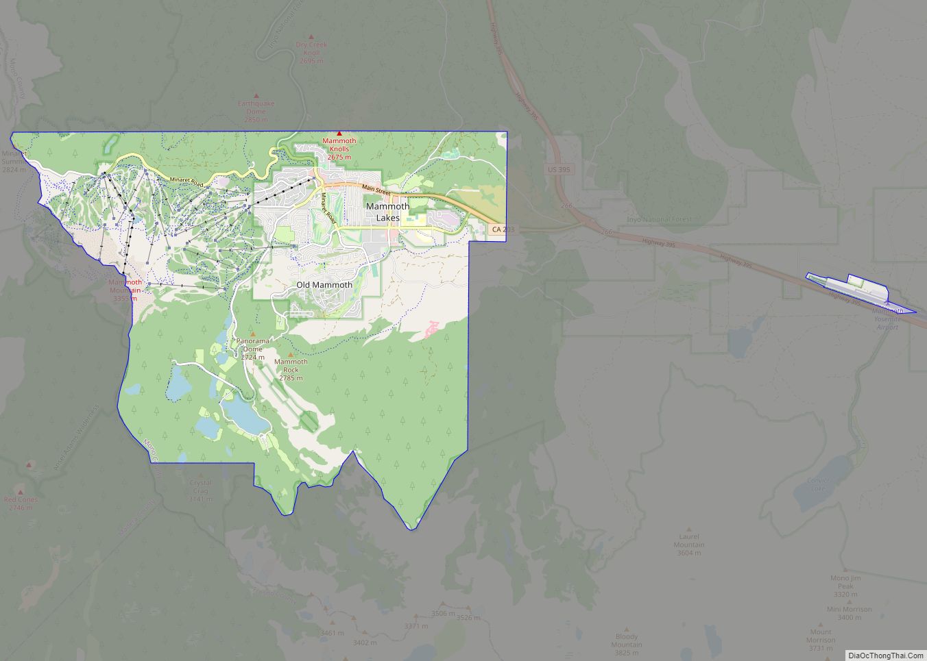
Online Interactive Map
Click on ![]() to view map in "full screen" mode.
to view map in "full screen" mode.
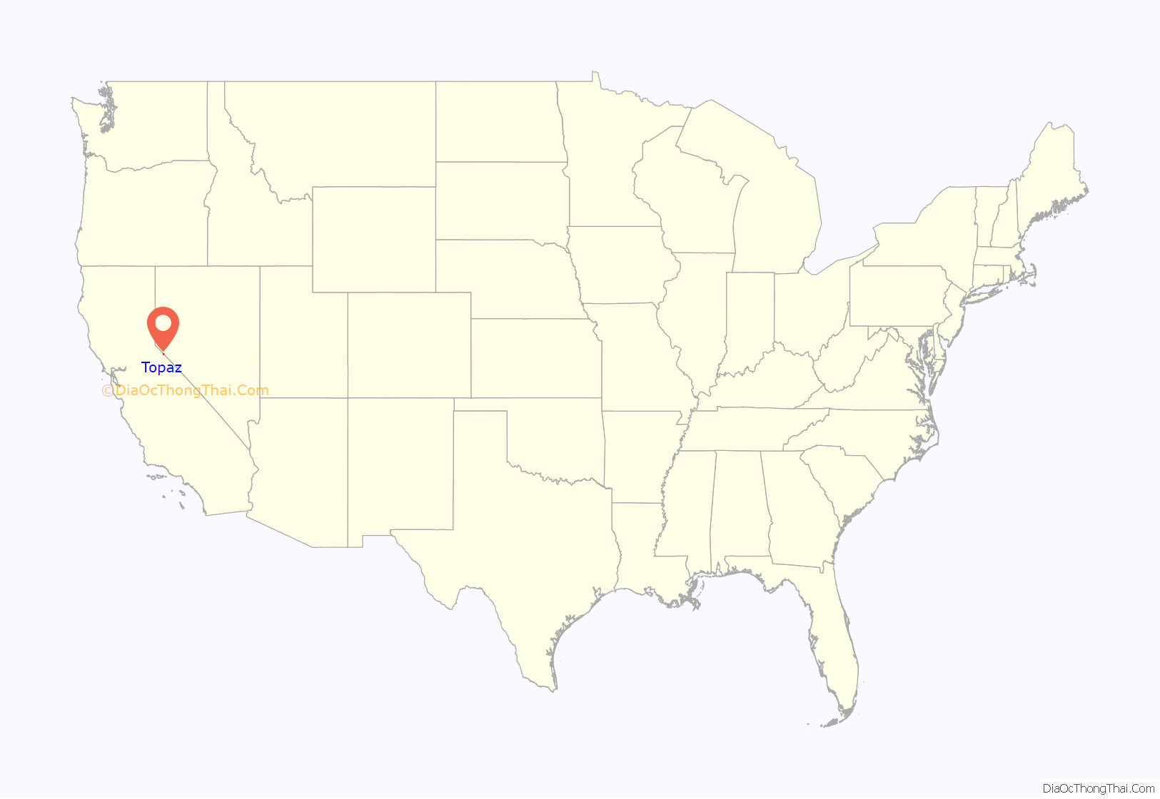
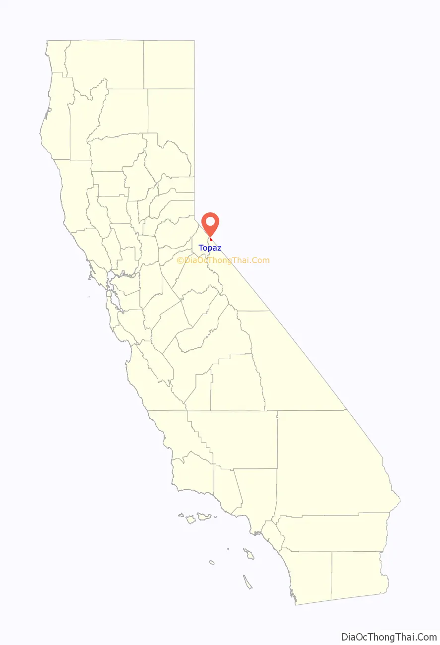
Topaz location map. Where is Topaz CDP?
History
The Topaz post office opened in 1885, closed in 1922, and re-opened in 1926. The name was transferred from the original site of the village, which developed on the ranch of T.B. Rickey. Mrs. Rickey named it based on the color of the local quaking aspen trees. The post office is now located and has been operated by the Robert William Mckay Family Ranch since the 1920s.
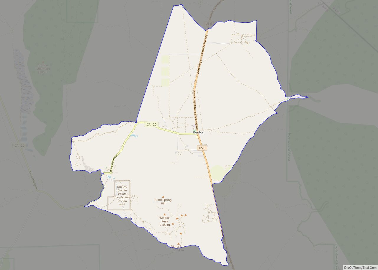
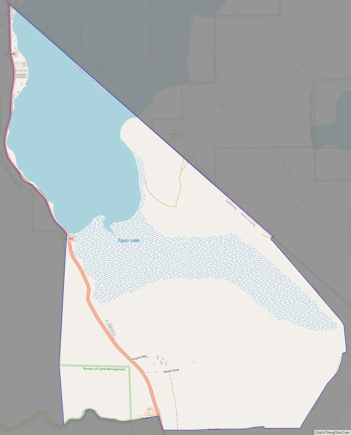
Topaz Road Map
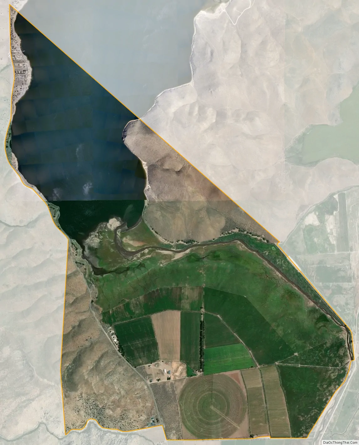
Topaz city Satellite Map
Geography
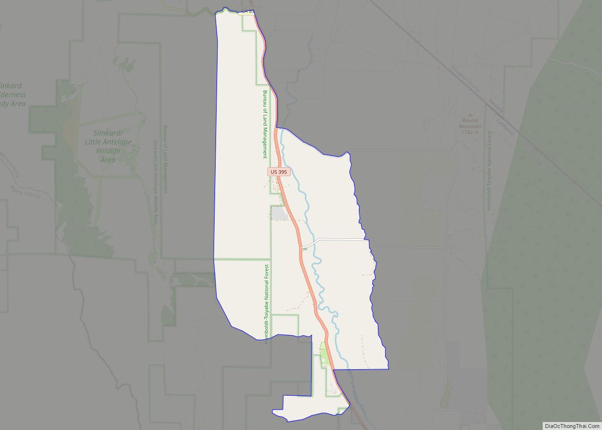
Topaz is the northernmost community in Mono County. It is bordered to the south by the community of Coleville and to the northeast by the Nevada state line. The community of Topaz Lake, Nevada, touches the northernmost part of the Topaz border. According to the Mono County government, Antelope Valley, including Topaz, is expected to see significant population growth.
U.S. Route 395 passes through Topaz, leading south 38 miles (61 km) to Bridgeport, the Mono county seat, and north 42 miles (68 km) to Carson City, Nevada. According to the United States Census Bureau, the Topaz CDP covers an area of 13.5 square miles (35 km), of which 12.2 square miles (32 km) are land and 1.3 square miles (3.4 km), or 9.63%, are water. Topaz is drained by the West Walker River, which flows north into Nevada. Topaz Lake occupies the northwest corner of the Topaz CDP and extends north into Nevada.
Climate
This region experiences warm (but not hot) and dry summers, with no average monthly temperatures above 71.6 °F (22.0 °C). According to the Köppen Climate Classification system, Topaz has a warm-summer Mediterranean climate, abbreviated “Csb” on climate maps.
See also
Map of California State and its subdivision:- Alameda
- Alpine
- Amador
- Butte
- Calaveras
- Colusa
- Contra Costa
- Del Norte
- El Dorado
- Fresno
- Glenn
- Humboldt
- Imperial
- Inyo
- Kern
- Kings
- Lake
- Lassen
- Los Angeles
- Madera
- Marin
- Mariposa
- Mendocino
- Merced
- Modoc
- Mono
- Monterey
- Napa
- Nevada
- Orange
- Placer
- Plumas
- Riverside
- Sacramento
- San Benito
- San Bernardino
- San Diego
- San Francisco
- San Joaquin
- San Luis Obispo
- San Mateo
- Santa Barbara
- Santa Clara
- Santa Cruz
- Shasta
- Sierra
- Siskiyou
- Solano
- Sonoma
- Stanislaus
- Sutter
- Tehama
- Trinity
- Tulare
- Tuolumne
- Ventura
- Yolo
- Yuba
- Alabama
- Alaska
- Arizona
- Arkansas
- California
- Colorado
- Connecticut
- Delaware
- District of Columbia
- Florida
- Georgia
- Hawaii
- Idaho
- Illinois
- Indiana
- Iowa
- Kansas
- Kentucky
- Louisiana
- Maine
- Maryland
- Massachusetts
- Michigan
- Minnesota
- Mississippi
- Missouri
- Montana
- Nebraska
- Nevada
- New Hampshire
- New Jersey
- New Mexico
- New York
- North Carolina
- North Dakota
- Ohio
- Oklahoma
- Oregon
- Pennsylvania
- Rhode Island
- South Carolina
- South Dakota
- Tennessee
- Texas
- Utah
- Vermont
- Virginia
- Washington
- West Virginia
- Wisconsin
- Wyoming