Val Verde (pronunciation) (Spanish for “Green Valley”) is an unincorporated community in the southeastern Topatopa Mountains foothills, and in northwestern Los Angeles County, California. The unincorporated community of Valencia and the city of Santa Clarita are east of the community. Its population was 2,468 at the 2010 census, up from 1,472 at the 2000 census. For statistical purposes the Census Bureau has defined Val Verde as a census-designated place (CDP).
| Name: | Val Verde CDP |
|---|---|
| LSAD Code: | 57 |
| LSAD Description: | CDP (suffix) |
| State: | California |
| County: | Los Angeles County |
| Elevation: | 1,188 ft (362 m) |
| Total Area: | 2.565 sq mi (6.644 km²) |
| Land Area: | 2.565 sq mi (6.644 km²) |
| Water Area: | 0 sq mi (0 km²) 0% |
| Total Population: | 2,468 |
| Population Density: | 960/sq mi (370/km²) |
| ZIP code: | 91384 |
| Area code: | 661 |
| FIPS code: | 0681967 |
| GNISfeature ID: | 1661607 |
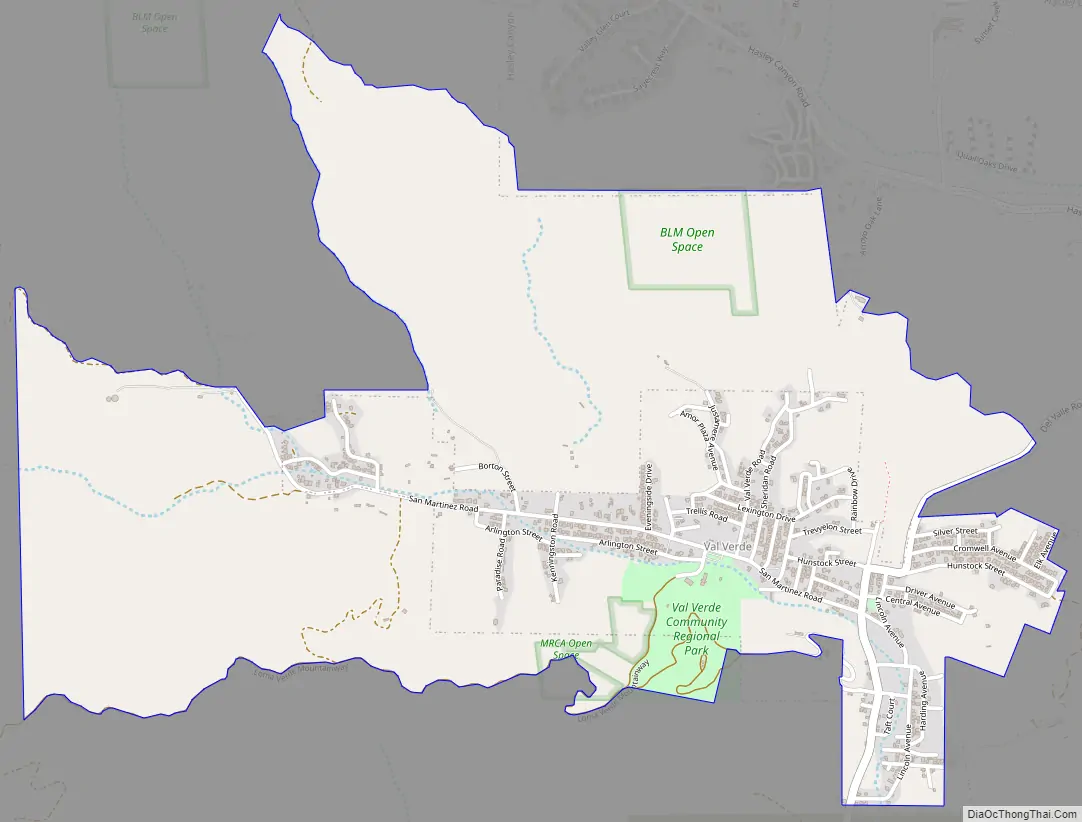
Online Interactive Map
Click on ![]() to view map in "full screen" mode.
to view map in "full screen" mode.
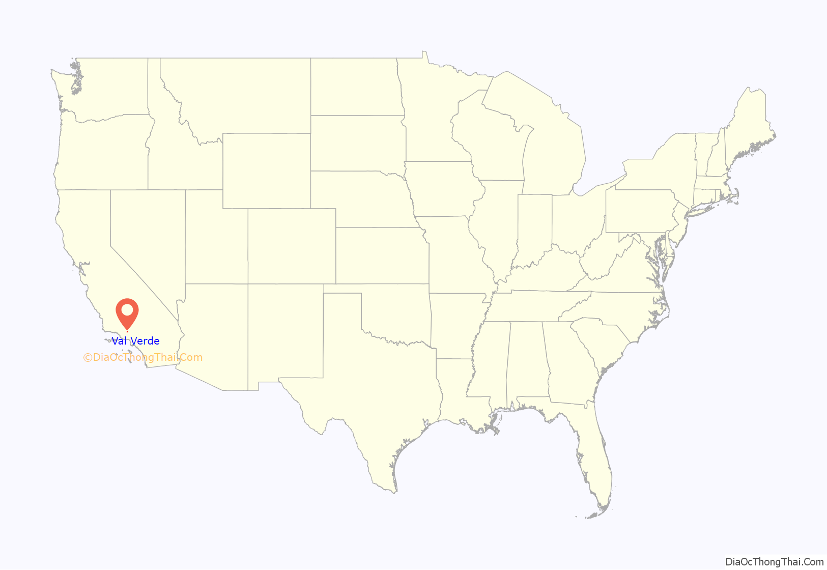
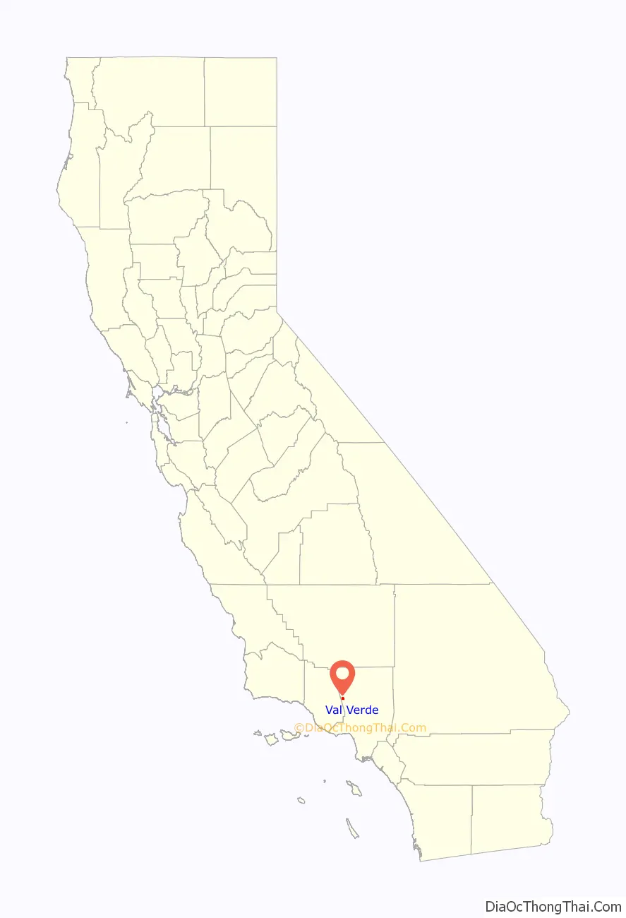
Val Verde location map. Where is Val Verde CDP?
History
Originally the settlement of Val Verde was a short-lived boom town built by colonial Mexican settlers near a gold strike in 19th-century Alta California.
In 1924, the modern settlement was founded by Sidney P. Dones and other investors. It was named Eureka Villa. That settlement was designed as a resort community for African Americans, as in that period, African Americans were frequently barred from public beaches and swimming pools. The town became known as the “Black Palm Springs”. By the 1930s, the area was wildly popular, mainly because it was one of only a few places blacks could go for recreation.
Other Southern California destinations included Lake Elsinore reservoir in Riverside County, a section of Venice Beach, Bruce’s Beach in the South Bay, and a park in Pasadena only open to blacks one day a year.
In 1939, the cornerstone for the Olympic swimming pool was laid. In the 1994 Northridge earthquake, the original pool was damaged and has since been repaired and shortened. The pool is part of the Los Angeles County Park system. It opens late spring until early fall. Day and evening swimming sessions occur daily.
With the advent of civil-rights reforms in the 1960s, many African Americans moved out of the area for larger areas from which they were previously segregated. The town now has a large percentage of Latinos and Whites. The 1994 Northridge earthquake wreaked tremendous havoc on the town, damaging most of the original structures.
In 2011, Verizon Wireless attempted to build a 30,000 watt, 12-panel antenna array cell site in Val Verde, less than 50 ft from an adjacent residence. Verizon Wireless and its contractor claimed that the main reason for the cell site was for community of Val Verde, but inquiries were made and the cell site is designed to fill coverage holes in the adjacent Valencia Commerce Center industrial park, Hasley Hills housing tract, and for future developments outside of Val Verde. Local residents banded together and protested the cell site, claiming that big business was trying to run rampant over the little community of Val Verde. As of early 2013, Verizon Wireless has not built the cell tower, and has decided to build the tower on a hillside away from homes.
On May 16, 2017, the Los Angeles County Sheriff’s Department seized 7,000 cockfighting birds at a ranch on Jackson Street in Val Verde. Although 2,700 birds had been seized from the same location in 2007, the 2017 raid was the “largest cockfighting bust in U.S. history” according to The Los Angeles Times, while the sheriff department said it was, “one of the largest seizures of flying fowl used for illegal cockfighting and (for) breeding for illegal cockfighting purposes.” However, the owner was not arrested.
Val Verde Road Map
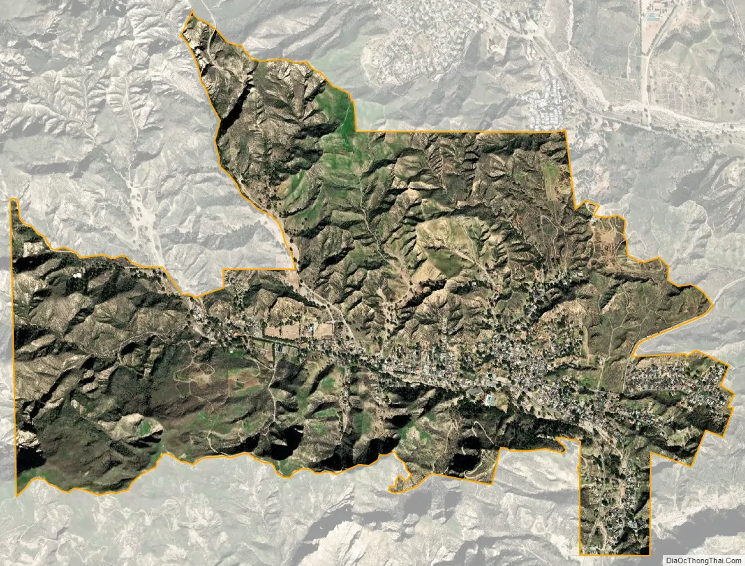
Val Verde city Satellite Map
Geography
According to the United States Census Bureau, the CDP has a total area of 2.5 sq mi (6.5 km), all land.
See also
Map of California State and its subdivision:- Alameda
- Alpine
- Amador
- Butte
- Calaveras
- Colusa
- Contra Costa
- Del Norte
- El Dorado
- Fresno
- Glenn
- Humboldt
- Imperial
- Inyo
- Kern
- Kings
- Lake
- Lassen
- Los Angeles
- Madera
- Marin
- Mariposa
- Mendocino
- Merced
- Modoc
- Mono
- Monterey
- Napa
- Nevada
- Orange
- Placer
- Plumas
- Riverside
- Sacramento
- San Benito
- San Bernardino
- San Diego
- San Francisco
- San Joaquin
- San Luis Obispo
- San Mateo
- Santa Barbara
- Santa Clara
- Santa Cruz
- Shasta
- Sierra
- Siskiyou
- Solano
- Sonoma
- Stanislaus
- Sutter
- Tehama
- Trinity
- Tulare
- Tuolumne
- Ventura
- Yolo
- Yuba
- Alabama
- Alaska
- Arizona
- Arkansas
- California
- Colorado
- Connecticut
- Delaware
- District of Columbia
- Florida
- Georgia
- Hawaii
- Idaho
- Illinois
- Indiana
- Iowa
- Kansas
- Kentucky
- Louisiana
- Maine
- Maryland
- Massachusetts
- Michigan
- Minnesota
- Mississippi
- Missouri
- Montana
- Nebraska
- Nevada
- New Hampshire
- New Jersey
- New Mexico
- New York
- North Carolina
- North Dakota
- Ohio
- Oklahoma
- Oregon
- Pennsylvania
- Rhode Island
- South Carolina
- South Dakota
- Tennessee
- Texas
- Utah
- Vermont
- Virginia
- Washington
- West Virginia
- Wisconsin
- Wyoming


