Verdi is a census-designated place (CDP) in Sierra County, California. Verdi sits at an elevation of 5,315 feet (1,620 m). The 2010 United States census reported Verdi’s population was 162. It is just across the state line from Verdi, Nevada and below the Verdi Range.
The town of Verdi was named after Giuseppe Verdi by Charles Crocker, founder of the Central Pacific Railroad, when he pulled a slip of paper from a hat and read the name of the Italian opera composer in 1868.
| Name: | Verdi CDP |
|---|---|
| LSAD Code: | 57 |
| LSAD Description: | CDP (suffix) |
| State: | California |
| County: | Sierra County |
| Elevation: | 5,315 ft (1,620 m) |
| Total Area: | 4.186 sq mi (10.843 km²) |
| Land Area: | 4.173 sq mi (10.808 km²) |
| Water Area: | 0.013 sq mi (0.035 km²) 0.32% |
| Total Population: | 162 |
| Population Density: | 39/sq mi (15/km²) |
| FIPS code: | 0682334 |
| GNISfeature ID: | 2583175 |
Online Interactive Map
Click on ![]() to view map in "full screen" mode.
to view map in "full screen" mode.
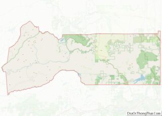
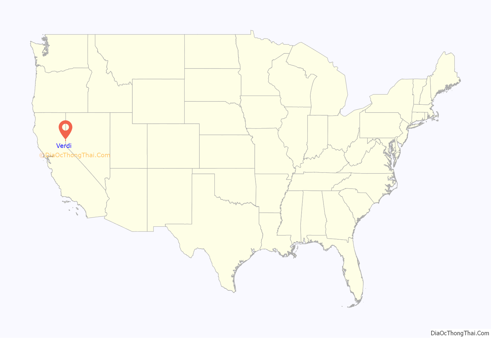
Verdi location map. Where is Verdi CDP?
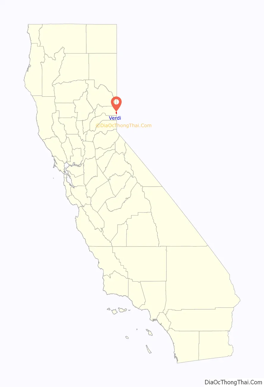
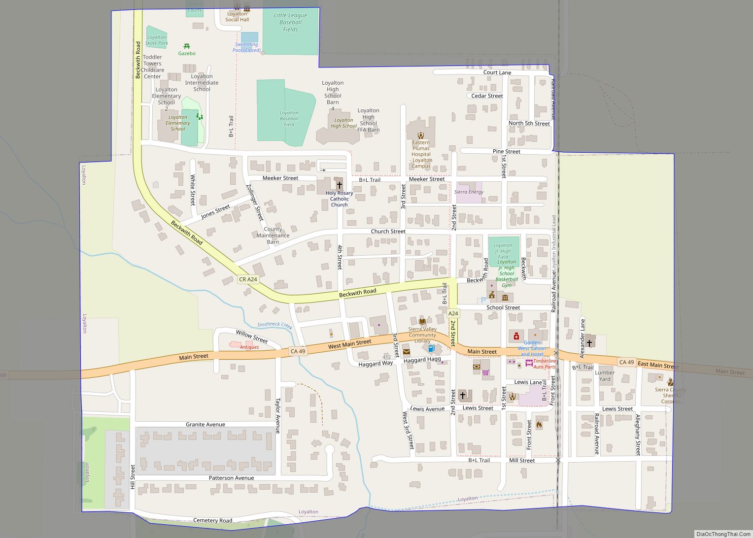
Verdi Road Map
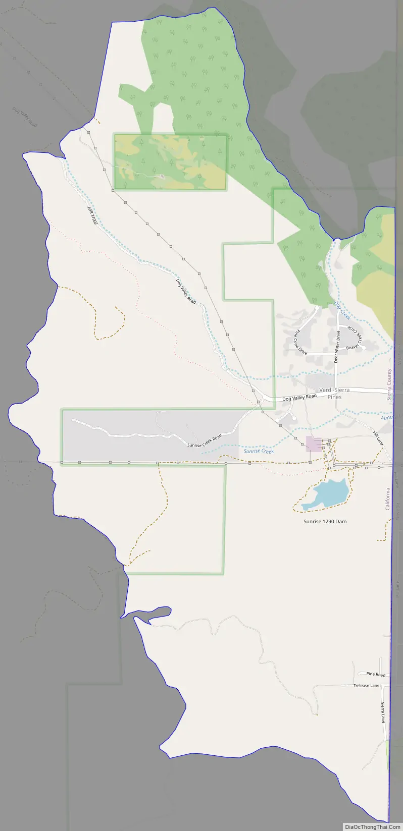
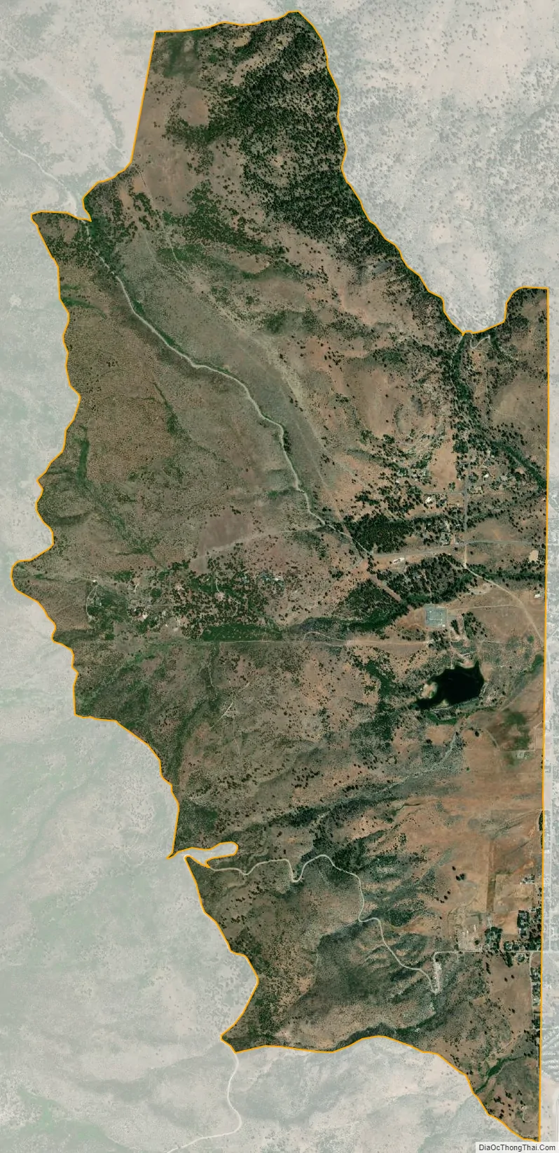
Verdi city Satellite Map
Geography
According to the United States Census Bureau, the CDP covers an area of 4.2 square miles (11 km), 99.68% of it land and 0.32% of it water.
See also
Map of California State and its subdivision:- Alameda
- Alpine
- Amador
- Butte
- Calaveras
- Colusa
- Contra Costa
- Del Norte
- El Dorado
- Fresno
- Glenn
- Humboldt
- Imperial
- Inyo
- Kern
- Kings
- Lake
- Lassen
- Los Angeles
- Madera
- Marin
- Mariposa
- Mendocino
- Merced
- Modoc
- Mono
- Monterey
- Napa
- Nevada
- Orange
- Placer
- Plumas
- Riverside
- Sacramento
- San Benito
- San Bernardino
- San Diego
- San Francisco
- San Joaquin
- San Luis Obispo
- San Mateo
- Santa Barbara
- Santa Clara
- Santa Cruz
- Shasta
- Sierra
- Siskiyou
- Solano
- Sonoma
- Stanislaus
- Sutter
- Tehama
- Trinity
- Tulare
- Tuolumne
- Ventura
- Yolo
- Yuba
- Alabama
- Alaska
- Arizona
- Arkansas
- California
- Colorado
- Connecticut
- Delaware
- District of Columbia
- Florida
- Georgia
- Hawaii
- Idaho
- Illinois
- Indiana
- Iowa
- Kansas
- Kentucky
- Louisiana
- Maine
- Maryland
- Massachusetts
- Michigan
- Minnesota
- Mississippi
- Missouri
- Montana
- Nebraska
- Nevada
- New Hampshire
- New Jersey
- New Mexico
- New York
- North Carolina
- North Dakota
- Ohio
- Oklahoma
- Oregon
- Pennsylvania
- Rhode Island
- South Carolina
- South Dakota
- Tennessee
- Texas
- Utah
- Vermont
- Virginia
- Washington
- West Virginia
- Wisconsin
- Wyoming