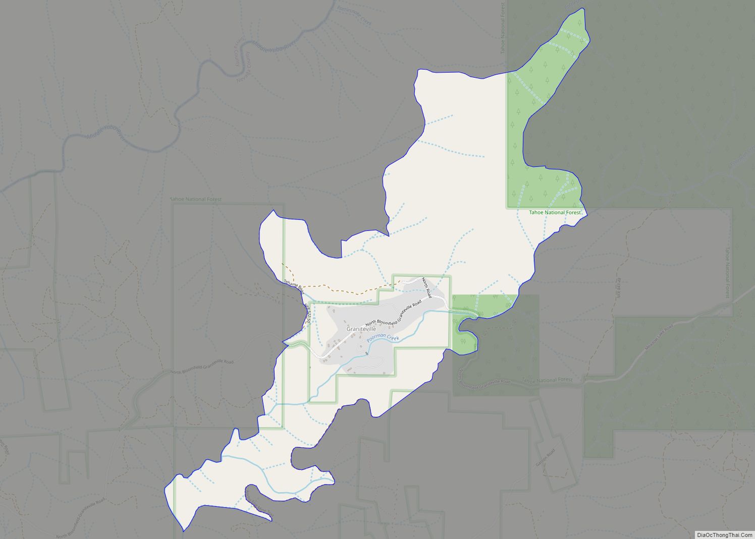
Washington (originally, Indiana Camp) is a census-designated place located in Nevada County, California. Washington is located on the banks of the South Yuba River and has a population of approximately two hundred people. There is a hotel/bar and restaurant, grocery store, a one-room schoolhouse that has educated students continuously for one hundred years, and two trailer park campgrounds. The elevation is 2,612 feet (796 m). The population was 185 at the 2010 census. According to the 2020 census, the population was 137 with a median age of 61.7.
The population fluctuates seasonally and the town businesses rely on the tourist trade as the population increases in the summer. It was settled during the California Gold Rush in 1849 and produced a large amount of placer gold. Hard rock mines were established soon afterward and were very productive. Washington is the only settlement in the vicinity to have survived to this day. There remains today much evidence of placer gold mining, hydraulic mining, and hard-rock mining. During the mining period, many Chinese lived there.
Washington’s biggest businesses are its two campsites, Little Town Campground (formerly Gene’s Pine Aire Campground) and the River Rest, which has been in business since the 1960s through different owners. Filmmaker Sara Ross-Samko is making a feature-length documentary portrait of the town.
The ZIP Code is 95986. The community is inside area code 530.
| Name: | Washington CDP |
|---|---|
| LSAD Code: | 57 |
| LSAD Description: | CDP (suffix) |
| State: | California |
| County: | Nevada County |
| Elevation: | 2,612 ft (796 m) |
| Total Area: | 1.899 sq mi (4.917 km²) |
| Land Area: | 1.899 sq mi (4.917 km²) |
| Water Area: | 0 sq mi (0 km²) 0% |
| Total Population: | 185 |
| Population Density: | 97/sq mi (38/km²) |
| ZIP code: | 95986 |
| Area code: | 530 |
| FIPS code: | 0683570 |
| GNISfeature ID: | 2628797 |
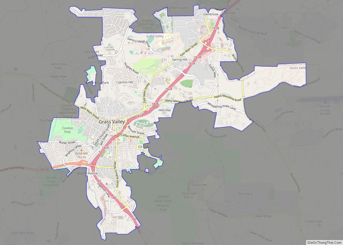
Online Interactive Map
Click on ![]() to view map in "full screen" mode.
to view map in "full screen" mode.
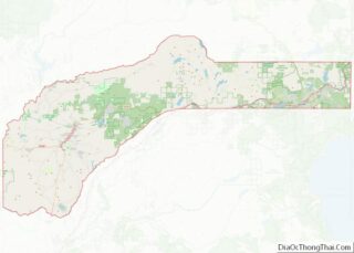
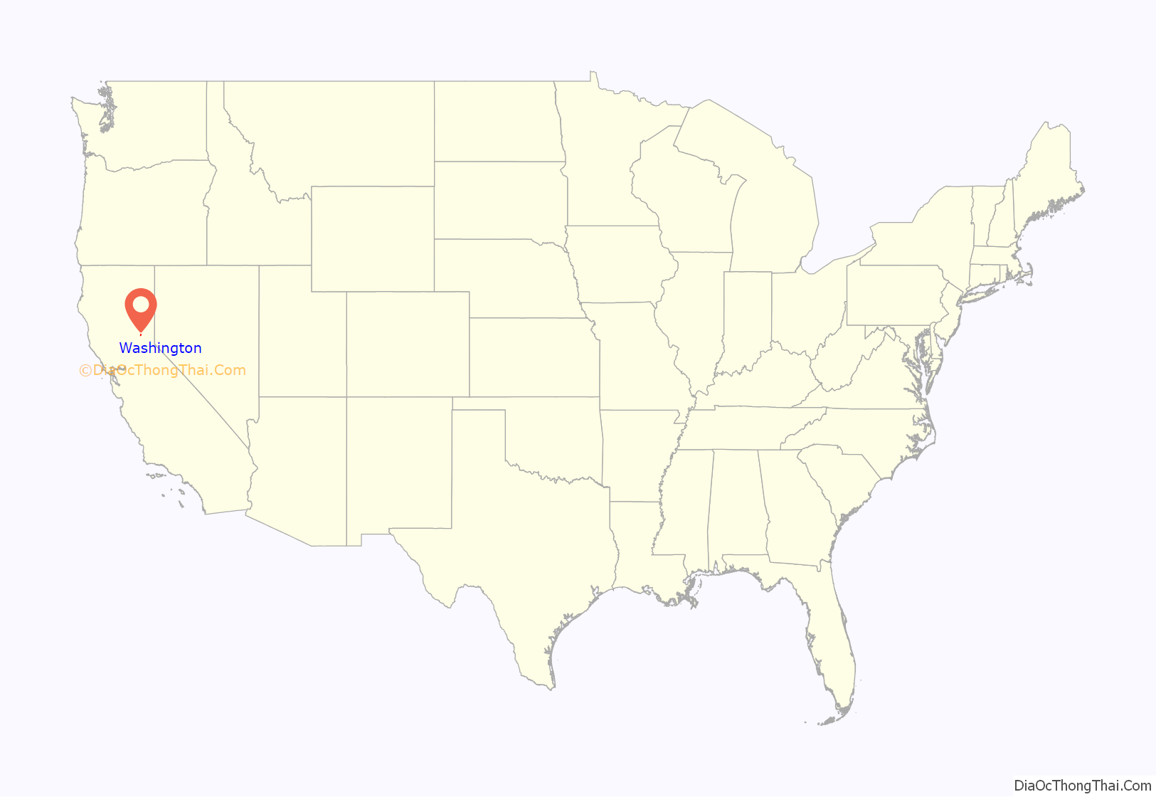
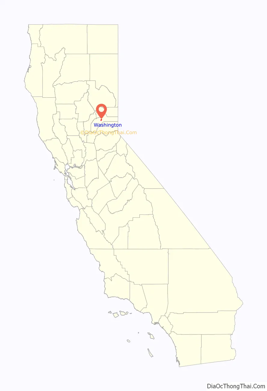
Washington location map. Where is Washington CDP?
History
The place was founded in 1849 by miners from Indiana and was originally named Indiana Camp. It was renamed Washington in 1850.
The Washington South Yuba post office operated here from 1852 to 1854. The Washington post office opened in 1862.
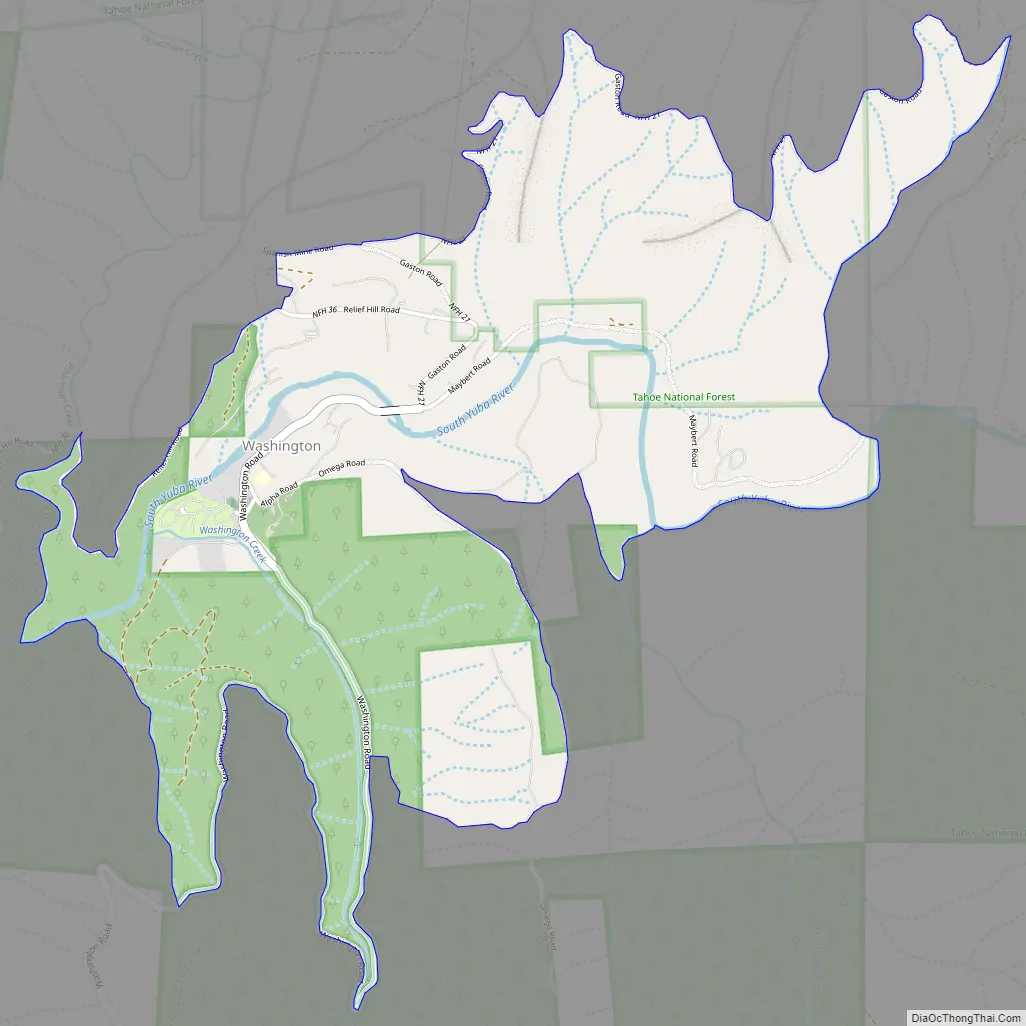
Washington Road Map
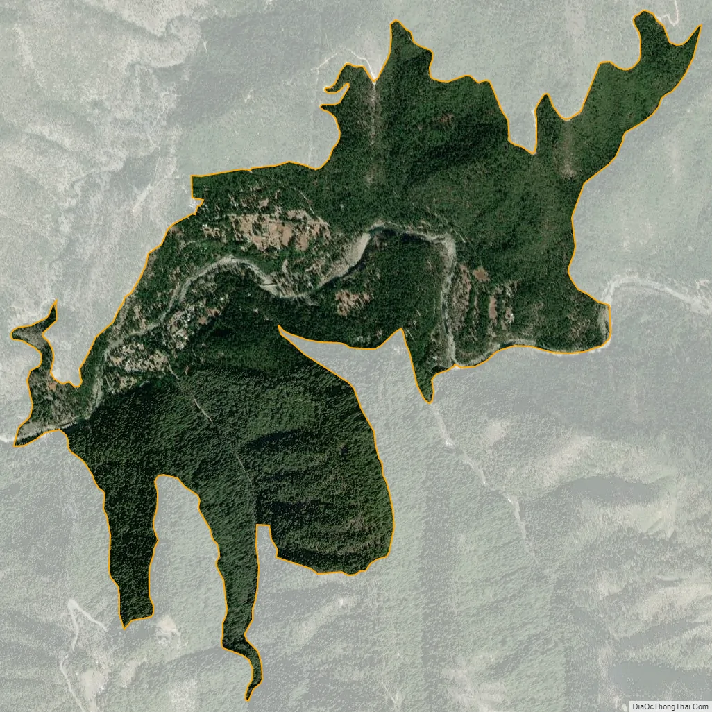
Washington city Satellite Map
Geography
According to the United States Census Bureau, the CDP covers an area of 1.9 square miles (4.9 km), all of it land.
See also
Map of California State and its subdivision:- Alameda
- Alpine
- Amador
- Butte
- Calaveras
- Colusa
- Contra Costa
- Del Norte
- El Dorado
- Fresno
- Glenn
- Humboldt
- Imperial
- Inyo
- Kern
- Kings
- Lake
- Lassen
- Los Angeles
- Madera
- Marin
- Mariposa
- Mendocino
- Merced
- Modoc
- Mono
- Monterey
- Napa
- Nevada
- Orange
- Placer
- Plumas
- Riverside
- Sacramento
- San Benito
- San Bernardino
- San Diego
- San Francisco
- San Joaquin
- San Luis Obispo
- San Mateo
- Santa Barbara
- Santa Clara
- Santa Cruz
- Shasta
- Sierra
- Siskiyou
- Solano
- Sonoma
- Stanislaus
- Sutter
- Tehama
- Trinity
- Tulare
- Tuolumne
- Ventura
- Yolo
- Yuba
- Alabama
- Alaska
- Arizona
- Arkansas
- California
- Colorado
- Connecticut
- Delaware
- District of Columbia
- Florida
- Georgia
- Hawaii
- Idaho
- Illinois
- Indiana
- Iowa
- Kansas
- Kentucky
- Louisiana
- Maine
- Maryland
- Massachusetts
- Michigan
- Minnesota
- Mississippi
- Missouri
- Montana
- Nebraska
- Nevada
- New Hampshire
- New Jersey
- New Mexico
- New York
- North Carolina
- North Dakota
- Ohio
- Oklahoma
- Oregon
- Pennsylvania
- Rhode Island
- South Carolina
- South Dakota
- Tennessee
- Texas
- Utah
- Vermont
- Virginia
- Washington
- West Virginia
- Wisconsin
- Wyoming