Waukena is a census-designated place in Tulare County, California, United States. Waukena is located on California State Route 137 4 miles (6.4 km) northeast of Corcoran. Waukena has a post office with ZIP code 93282. The population was 108 at the 2010 census. Its name is possible derived from an archaic English interpretation of the Spanish name Joaquina.
| Name: | Waukena CDP |
|---|---|
| LSAD Code: | 57 |
| LSAD Description: | CDP (suffix) |
| State: | California |
| County: | Tulare County |
| Elevation: | 226 ft (69 m) |
| Total Area: | 0.942 sq mi (2.441 km²) |
| Land Area: | 0.942 sq mi (2.441 km²) |
| Water Area: | 0 sq mi (0 km²) 0% |
| Total Population: | 108 |
| Population Density: | 110/sq mi (44/km²) |
| ZIP code: | 93282 |
| Area code: | 559 |
| FIPS code: | 0683724 |
Online Interactive Map
Click on ![]() to view map in "full screen" mode.
to view map in "full screen" mode.
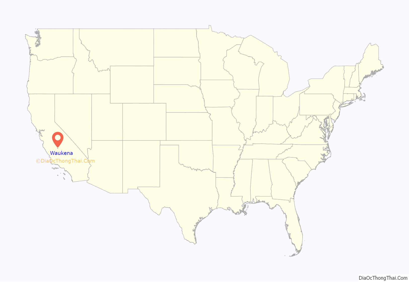
Waukena location map. Where is Waukena CDP?
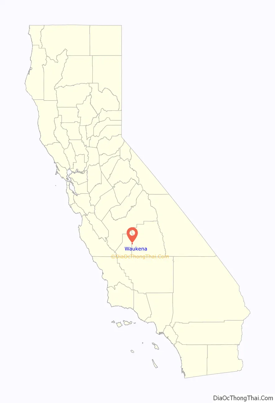
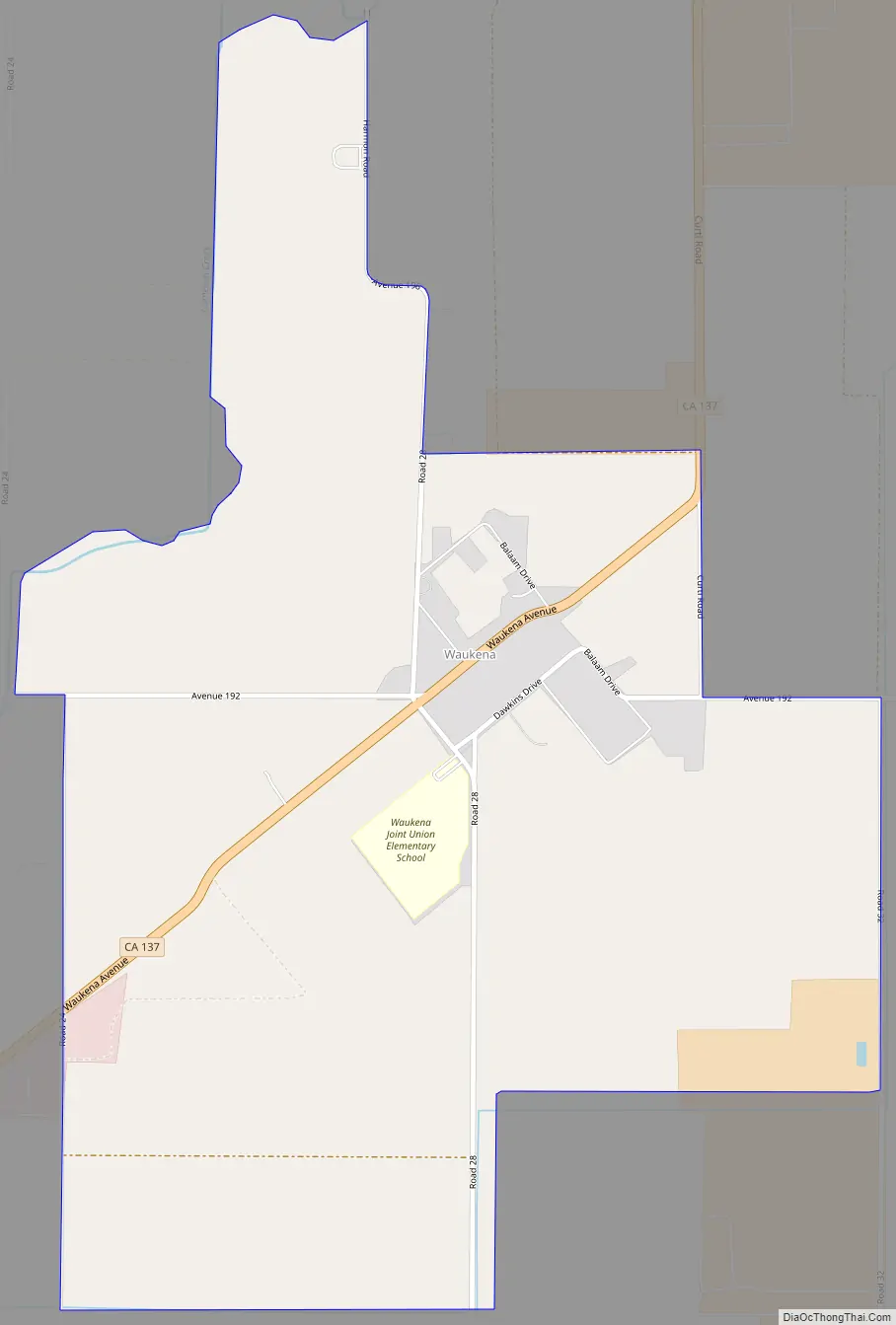
Waukena Road Map
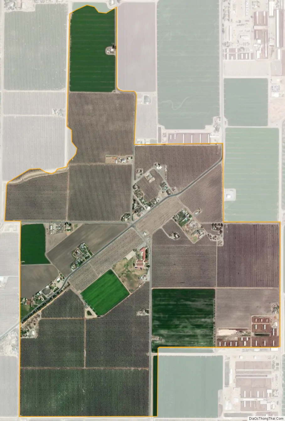
Waukena city Satellite Map
Geography
According to the United States Census Bureau, the CDP covers an area of 0.9 square miles (2.4 km), all of it land.
Climate
According to the Köppen Climate Classification system, Waukena has a semi-arid climate, abbreviated “BSk” on climate maps.
See also
Map of California State and its subdivision:- Alameda
- Alpine
- Amador
- Butte
- Calaveras
- Colusa
- Contra Costa
- Del Norte
- El Dorado
- Fresno
- Glenn
- Humboldt
- Imperial
- Inyo
- Kern
- Kings
- Lake
- Lassen
- Los Angeles
- Madera
- Marin
- Mariposa
- Mendocino
- Merced
- Modoc
- Mono
- Monterey
- Napa
- Nevada
- Orange
- Placer
- Plumas
- Riverside
- Sacramento
- San Benito
- San Bernardino
- San Diego
- San Francisco
- San Joaquin
- San Luis Obispo
- San Mateo
- Santa Barbara
- Santa Clara
- Santa Cruz
- Shasta
- Sierra
- Siskiyou
- Solano
- Sonoma
- Stanislaus
- Sutter
- Tehama
- Trinity
- Tulare
- Tuolumne
- Ventura
- Yolo
- Yuba
- Alabama
- Alaska
- Arizona
- Arkansas
- California
- Colorado
- Connecticut
- Delaware
- District of Columbia
- Florida
- Georgia
- Hawaii
- Idaho
- Illinois
- Indiana
- Iowa
- Kansas
- Kentucky
- Louisiana
- Maine
- Maryland
- Massachusetts
- Michigan
- Minnesota
- Mississippi
- Missouri
- Montana
- Nebraska
- Nevada
- New Hampshire
- New Jersey
- New Mexico
- New York
- North Carolina
- North Dakota
- Ohio
- Oklahoma
- Oregon
- Pennsylvania
- Rhode Island
- South Carolina
- South Dakota
- Tennessee
- Texas
- Utah
- Vermont
- Virginia
- Washington
- West Virginia
- Wisconsin
- Wyoming


