Westmorland (formerly, Westmoreland) is a city in Imperial County, California. Westmorland is located 8.5 miles (14 km) southwest of Calipatria. The population was 2,014 at the 2020 census, down from 2,225 at the 2010 census, up from 2,131 in 2000. It is part of the El Centro Metropolitan Area. The mayor of Westmorland is Ana Beltran.
Westmorland is on State Route 86, which was upgraded to a new six-lane highway to reduce its infamous auto accident and fatality risk, while it connects with Brawley, El Centro and Mexicali, Baja California, Mexico.
The post office, originally called Westmoreland, opened in 1909; it closed in 1912 and re-opened in 1919. It was renamed to Westmorland in 1936. Westmorland incorporated in 1934.
From the 1920s through the 1950s Westmorland was the site of illegal gaming establishments and many brothels, but these were later destroyed in an attempt to improve the town’s image.
Westmorland has dealt with the image of high poverty rates, and prior to the 1990s North American Free Trade Agreement (NAFTA) economic boom, a nearly dormant farm food shipping industry.
| Name: | Westmorland city |
|---|---|
| LSAD Code: | 25 |
| LSAD Description: | city (suffix) |
| State: | California |
| County: | Imperial County |
| Incorporated: | June 30, 1934 |
| Elevation: | −164 ft (−50 m) |
| Total Area: | 0.59 sq mi (1.53 km²) |
| Land Area: | 0.59 sq mi (1.53 km²) |
| Water Area: | 0.00 sq mi (0.00 km²) 0% |
| Total Population: | 2,014 |
| Population Density: | 3,820.34/sq mi (1,474.85/km²) |
| ZIP code: | 92281 |
| FIPS code: | 0684606 |
| Website: | www.cityofwestmorland.net |
Online Interactive Map
Click on ![]() to view map in "full screen" mode.
to view map in "full screen" mode.
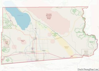
Westmorland location map. Where is Westmorland city?
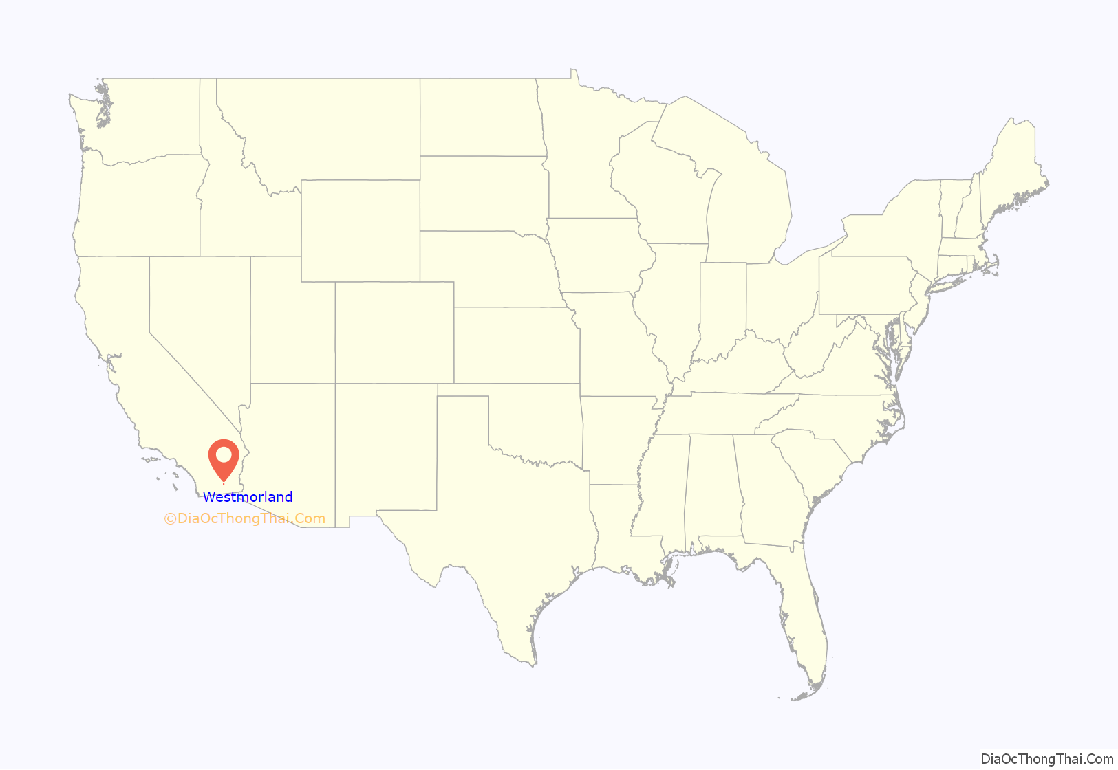
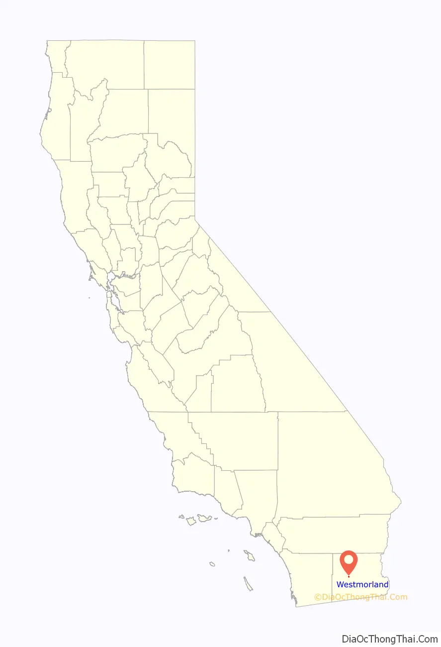
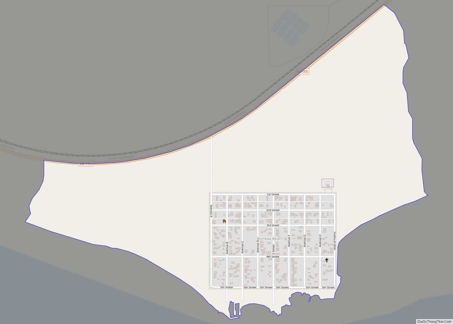
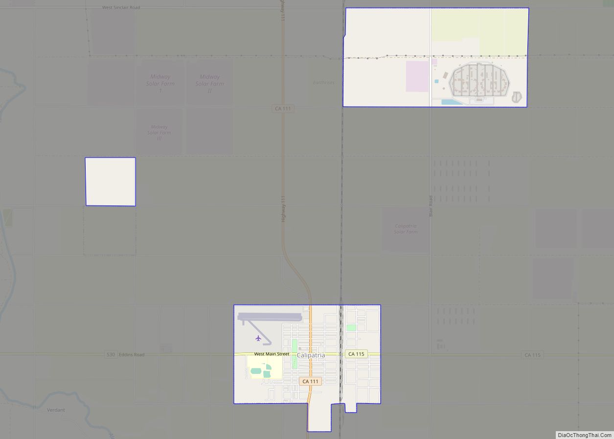
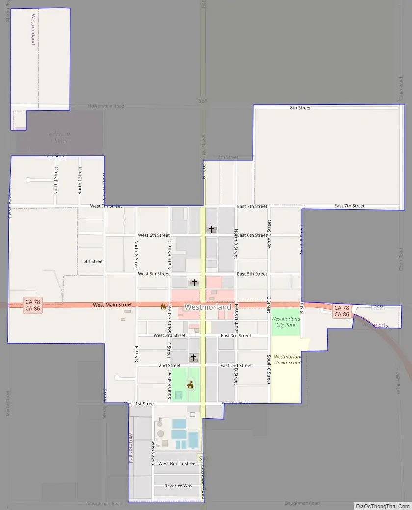
Westmorland Road Map
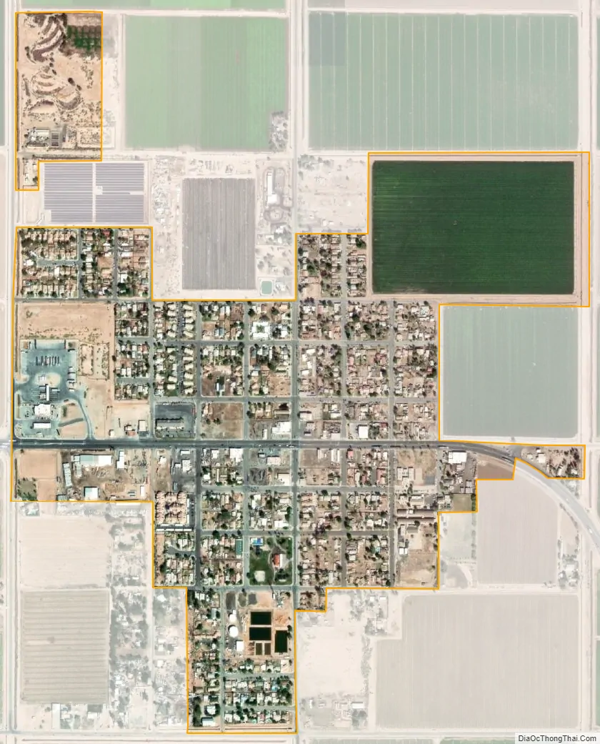
Westmorland city Satellite Map
Geography
According to the United States Census Bureau, the city has a total area of 0.4 square miles (1.0 km), all land.
Westmorland is below sea level and sits behind a number of active faults. Seismic activity has been recorded several times during the 20th century, with tremors occurring in 1907, 1916, 1925, 1940, 1948, 1965, and 1979. The 1987 Superstition Hills event caused serious damage in Westmorland and the Imperial Valley.
See also
Map of California State and its subdivision:- Alameda
- Alpine
- Amador
- Butte
- Calaveras
- Colusa
- Contra Costa
- Del Norte
- El Dorado
- Fresno
- Glenn
- Humboldt
- Imperial
- Inyo
- Kern
- Kings
- Lake
- Lassen
- Los Angeles
- Madera
- Marin
- Mariposa
- Mendocino
- Merced
- Modoc
- Mono
- Monterey
- Napa
- Nevada
- Orange
- Placer
- Plumas
- Riverside
- Sacramento
- San Benito
- San Bernardino
- San Diego
- San Francisco
- San Joaquin
- San Luis Obispo
- San Mateo
- Santa Barbara
- Santa Clara
- Santa Cruz
- Shasta
- Sierra
- Siskiyou
- Solano
- Sonoma
- Stanislaus
- Sutter
- Tehama
- Trinity
- Tulare
- Tuolumne
- Ventura
- Yolo
- Yuba
- Alabama
- Alaska
- Arizona
- Arkansas
- California
- Colorado
- Connecticut
- Delaware
- District of Columbia
- Florida
- Georgia
- Hawaii
- Idaho
- Illinois
- Indiana
- Iowa
- Kansas
- Kentucky
- Louisiana
- Maine
- Maryland
- Massachusetts
- Michigan
- Minnesota
- Mississippi
- Missouri
- Montana
- Nebraska
- Nevada
- New Hampshire
- New Jersey
- New Mexico
- New York
- North Carolina
- North Dakota
- Ohio
- Oklahoma
- Oregon
- Pennsylvania
- Rhode Island
- South Carolina
- South Dakota
- Tennessee
- Texas
- Utah
- Vermont
- Virginia
- Washington
- West Virginia
- Wisconsin
- Wyoming