Whitewater (formerly, White Water) is a census-designated place in Riverside County, California. It is directly off Interstate 10 halfway between North Palm Springs and Cabazon on the way from Palm Springs to Los Angeles. It is known as the site of the San Gorgonio Pass Wind Farm. The ZIP Code is 92282, and the community is inside area code 760. The population was 859 at the 2010 census. The elevation is 1,575 feet (480 m).
Whitewater is famous for its recently renovated trout farm in the canyon of the Whitewater River.
| Name: | Whitewater CDP |
|---|---|
| LSAD Code: | 57 |
| LSAD Description: | CDP (suffix) |
| State: | California |
| County: | Riverside County |
| Elevation: | 1,575 ft (480 m) |
| Total Area: | 9.872 sq mi (25.569 km²) |
| Land Area: | 9.872 sq mi (25.569 km²) |
| Water Area: | 0 sq mi (0 km²) 0% |
| Total Population: | 859 |
| Population Density: | 87/sq mi (34/km²) |
| ZIP code: | 92282 |
| Area code: | 760 |
| FIPS code: | 0685208 |
| GNISfeature ID: | 2583184 |
Online Interactive Map
Click on ![]() to view map in "full screen" mode.
to view map in "full screen" mode.
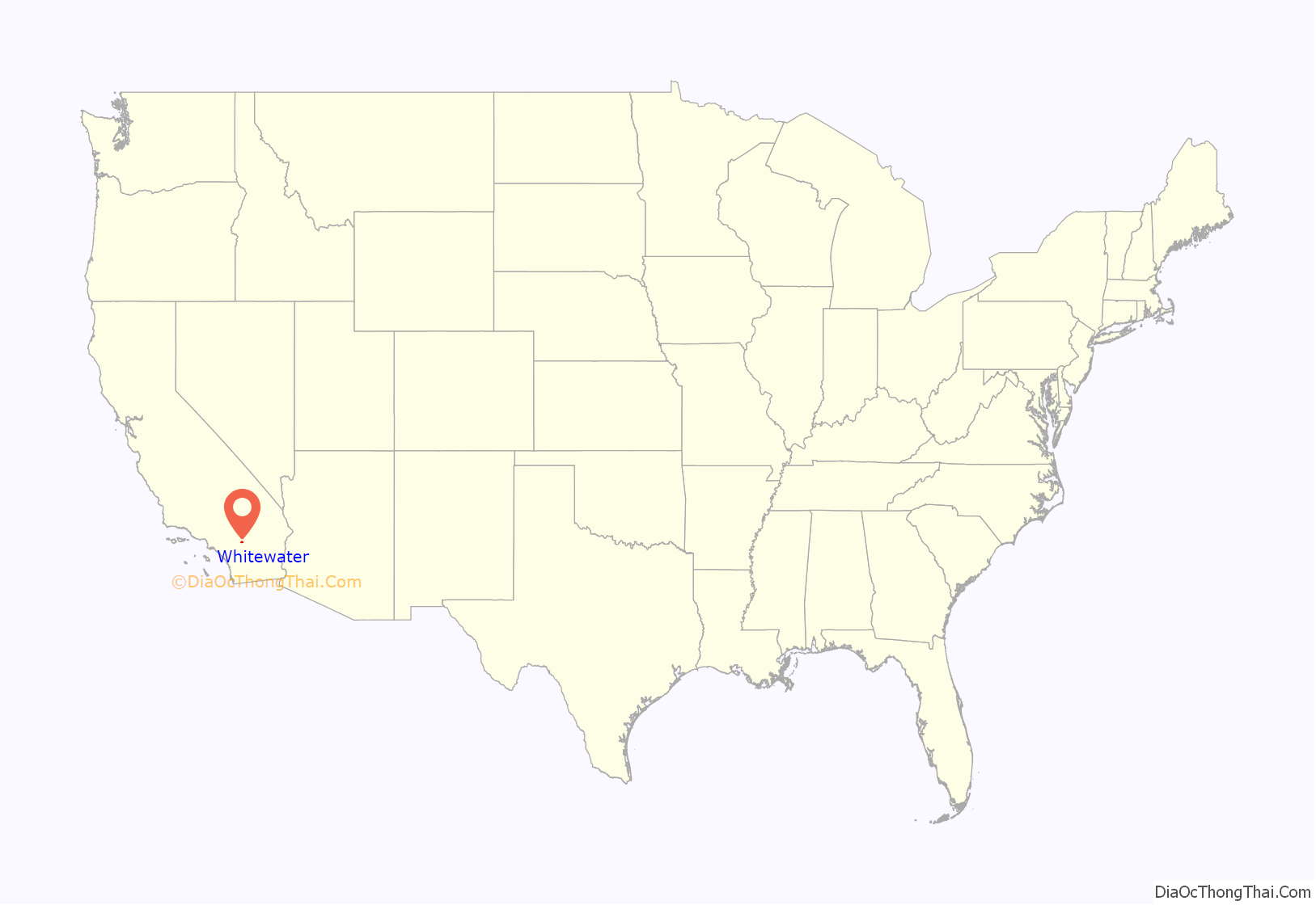
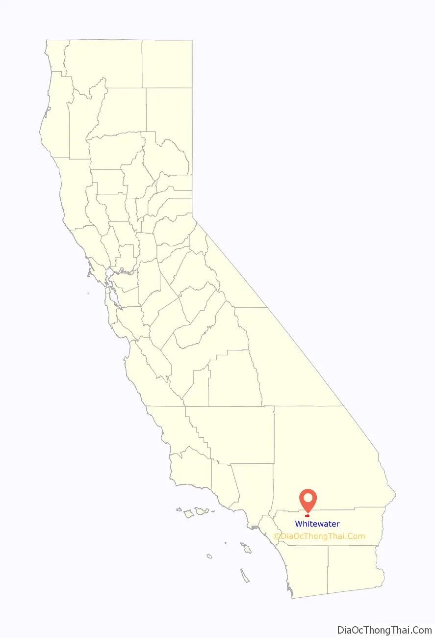
Whitewater location map. Where is Whitewater CDP?
History
Whitewater, still a populated place on the west bank of the Whitewater River, is located 10 miles (16 km) northwest of Palm Springs.33°54′52″N 116°42′38″W / 33.91444°N 116.71056°W / 33.91444; -116.71056 It began as rest and watering place for travelers on the Bradshaw Trail between San Bernardino and La Paz Arizona Territory in 1862. With the start of the Colorado River Gold Rush the trail was created to ship goods and allow people to cross the desert to the new boom towns on the Colorado River and the interior of Arizona Territory. Whitewater got its name from the White Water Station, a stagecoach station that was located there on the Bradshaw Trail. The settlement at White Water remained as a stop on the road into the Coachella Valley and to other desert regions to the east as it does today.
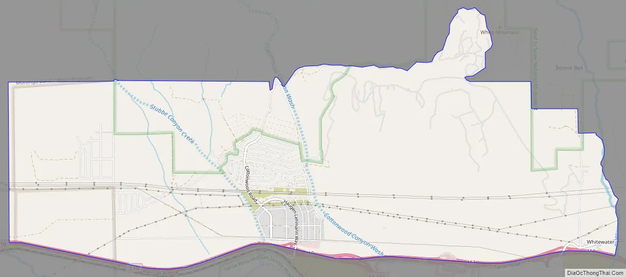
Whitewater Road Map
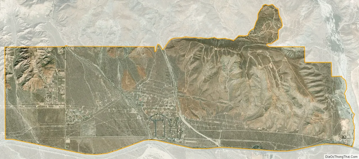
Whitewater city Satellite Map
Geography
Whitewater is located at 33°55′27″N 116°38′40″W / 33.92417°N 116.64444°W / 33.92417; -116.64444 (33.924203 N, 116.644453 W) and is named for the nearby Whitewater River. The wind farm is located near the I-10 exit at 33°54′52″N 116°42′38″W / 33.91444°N 116.71056°W / 33.91444; -116.71056 (33.914456 N, 116.743897 W). The area has nearly constant wind due to the venturi effect created by the San Bernardino Mountains to the north and the San Jacinto Mountains to the south, resulting in perfect conditions for the wind farm.
According to the United States Census Bureau, the CDP covers an area of 9.9 square miles (25.6 km), all of it land.
Climate
According to the Köppen Climate Classification system, Whitewater has a warm-summer Mediterranean climate, abbreviated “Csa” on climate maps.
See also
Map of California State and its subdivision:- Alameda
- Alpine
- Amador
- Butte
- Calaveras
- Colusa
- Contra Costa
- Del Norte
- El Dorado
- Fresno
- Glenn
- Humboldt
- Imperial
- Inyo
- Kern
- Kings
- Lake
- Lassen
- Los Angeles
- Madera
- Marin
- Mariposa
- Mendocino
- Merced
- Modoc
- Mono
- Monterey
- Napa
- Nevada
- Orange
- Placer
- Plumas
- Riverside
- Sacramento
- San Benito
- San Bernardino
- San Diego
- San Francisco
- San Joaquin
- San Luis Obispo
- San Mateo
- Santa Barbara
- Santa Clara
- Santa Cruz
- Shasta
- Sierra
- Siskiyou
- Solano
- Sonoma
- Stanislaus
- Sutter
- Tehama
- Trinity
- Tulare
- Tuolumne
- Ventura
- Yolo
- Yuba
- Alabama
- Alaska
- Arizona
- Arkansas
- California
- Colorado
- Connecticut
- Delaware
- District of Columbia
- Florida
- Georgia
- Hawaii
- Idaho
- Illinois
- Indiana
- Iowa
- Kansas
- Kentucky
- Louisiana
- Maine
- Maryland
- Massachusetts
- Michigan
- Minnesota
- Mississippi
- Missouri
- Montana
- Nebraska
- Nevada
- New Hampshire
- New Jersey
- New Mexico
- New York
- North Carolina
- North Dakota
- Ohio
- Oklahoma
- Oregon
- Pennsylvania
- Rhode Island
- South Carolina
- South Dakota
- Tennessee
- Texas
- Utah
- Vermont
- Virginia
- Washington
- West Virginia
- Wisconsin
- Wyoming


