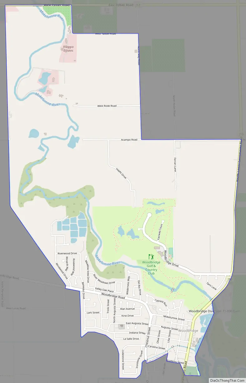
Woodbridge is a census-designated place in San Joaquin County, California. Woodbridge sits at an elevation of 43 feet (13 m). The 2010 United States census reported Woodbridge’s population was 3,984. Founded in the 1850s, the town is listed as a California Historical Landmark.
Woodbridge is located on the northwest side of the city of Lodi, along the banks of the Mokelumne River. Prior to the 2010 census, it was split between the CDPs of North Woodbridge and South Woodbridge and occupies the zip code 95258. It is most known for being in California‘s San Joaquin Valley winegrowing region.
| Name: | Woodbridge CDP |
|---|---|
| LSAD Code: | 57 |
| LSAD Description: | CDP (suffix) |
| State: | California |
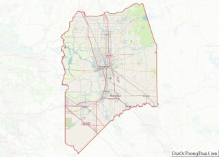
| County: | San Joaquin County |
| Elevation: | 43 ft (13 m) |
| Total Area: | 3.120 sq mi (8.080 km²) |
| Land Area: | 3.013 sq mi (7.803 km²) |
| Water Area: | 0.107 sq mi (0.277 km²) 3.42% |
| Total Population: | 4,031 |
| Population Density: | 1,300/sq mi (500/km²) |
| FIPS code: | 0686230 |
| GNISfeature ID: | 2629783 |
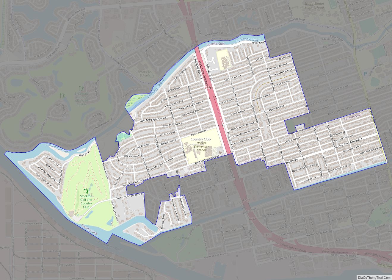
Online Interactive Map
Click on ![]() to view map in "full screen" mode.
to view map in "full screen" mode.
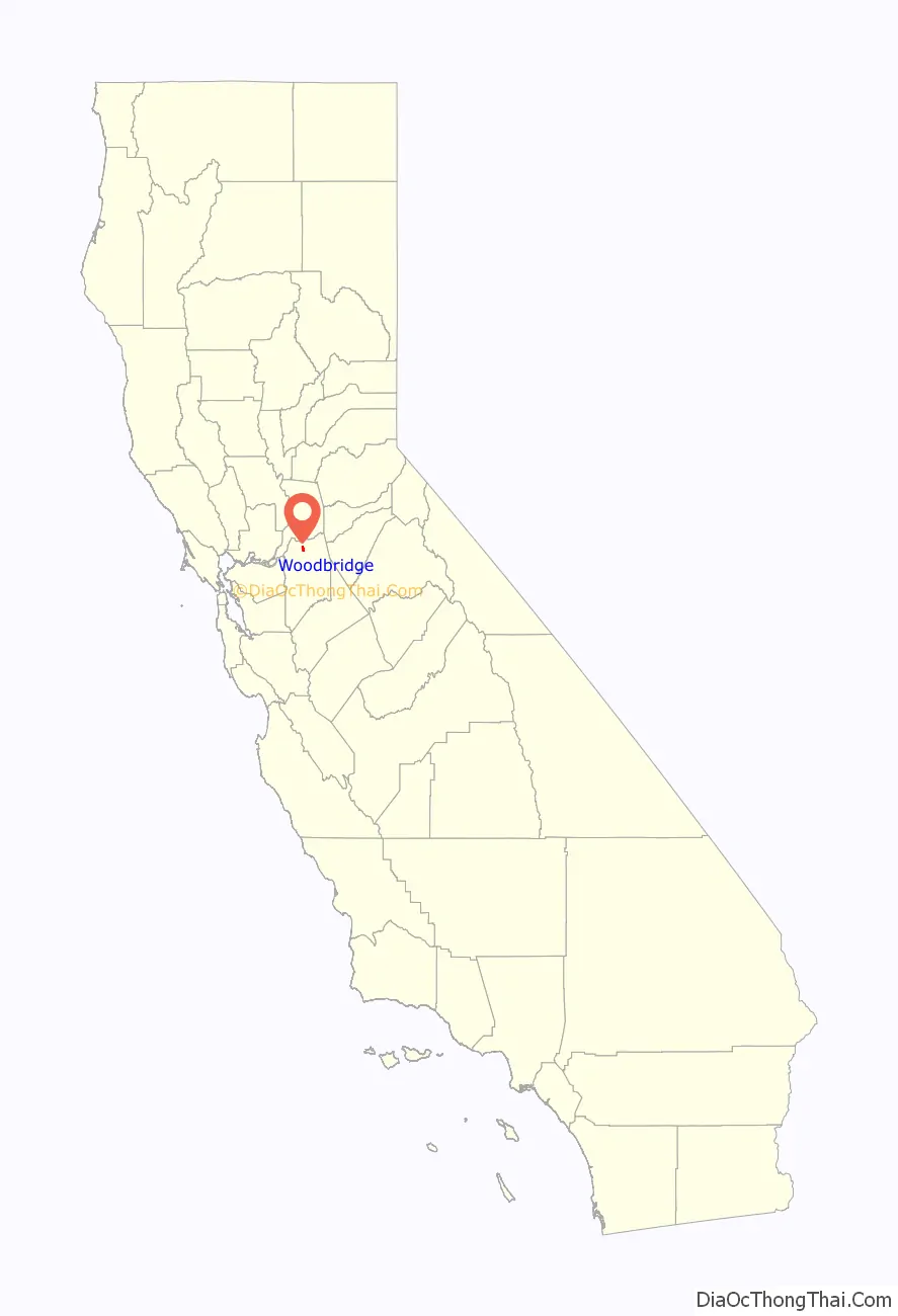
Woodbridge location map. Where is Woodbridge CDP?

History
Woodbridge was founded in 1852 by Jeremiah H. Woods and Alexander McQueen, who established a ferry across the Mokelumne River. The ferry enabled a new road to be routed between Stockton and Sacramento. In 1858 they built a wooden bridge at the site of the ferry which became known as Woods’ Bridge, from which the community drew its name. Woods hoped that the settlement would grow larger than Stockton, and even hoped to form a separate county, Mokelumne County, with Woodbridge as the seat. In 1867, however, the railroad chose to bypass Woodbridge and lay tracks through neighboring Lodi instead.
Woodbridge then became an educational center, with the Woodbridge Seminary and San Joaquin Valley College both opening doors in 1879. The college closed in 1897 due to declining enrollment.
Woodbridge Road Map
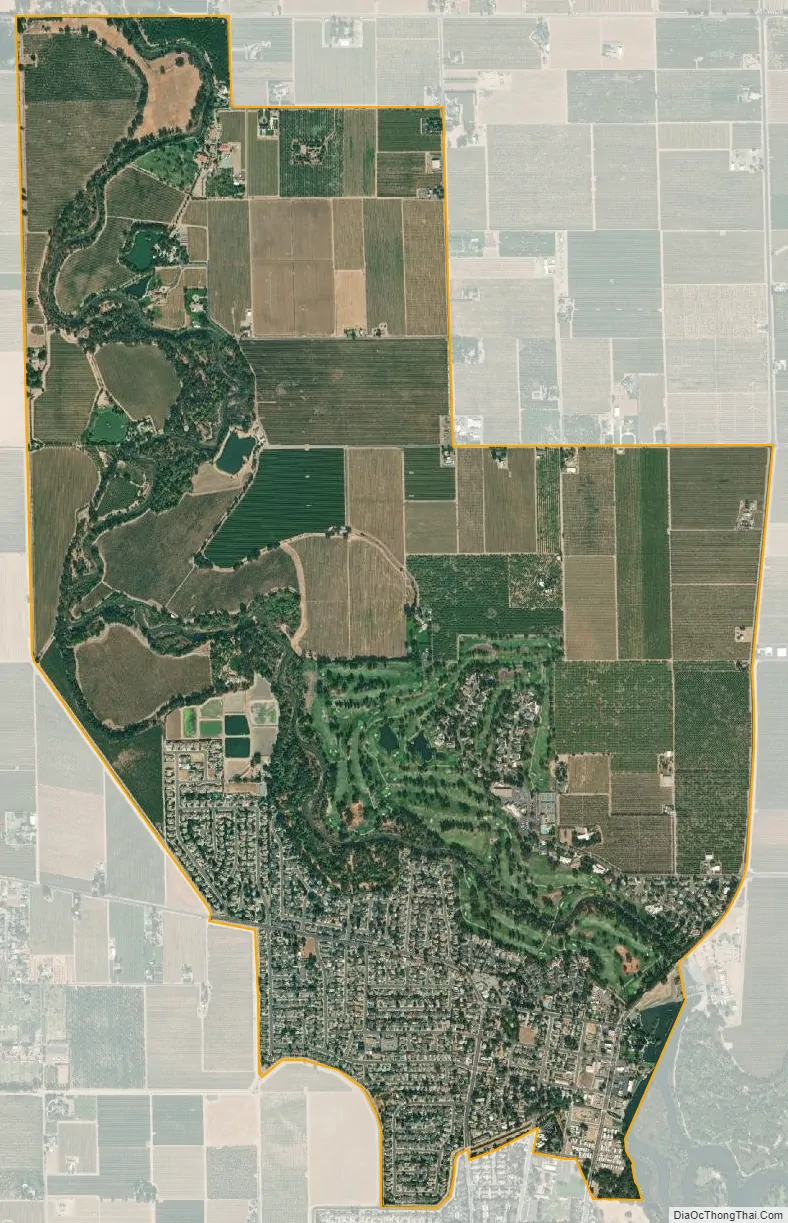
Woodbridge city Satellite Map
Geography
According to the United States Census Bureau, the CDP covers an area of 3.1 square miles (8.1 km), 3.0 square miles (7.8 km) of which is land, 0.1 square miles (0.3 km) of it (3.42%) water.
See also
Map of California State and its subdivision:- Alameda
- Alpine
- Amador
- Butte
- Calaveras
- Colusa
- Contra Costa
- Del Norte
- El Dorado
- Fresno
- Glenn
- Humboldt
- Imperial
- Inyo
- Kern
- Kings
- Lake
- Lassen
- Los Angeles
- Madera
- Marin
- Mariposa
- Mendocino
- Merced
- Modoc
- Mono
- Monterey
- Napa
- Nevada
- Orange
- Placer
- Plumas
- Riverside
- Sacramento
- San Benito
- San Bernardino
- San Diego
- San Francisco
- San Joaquin
- San Luis Obispo
- San Mateo
- Santa Barbara
- Santa Clara
- Santa Cruz
- Shasta
- Sierra
- Siskiyou
- Solano
- Sonoma
- Stanislaus
- Sutter
- Tehama
- Trinity
- Tulare
- Tuolumne
- Ventura
- Yolo
- Yuba
- Alabama
- Alaska
- Arizona
- Arkansas
- California
- Colorado
- Connecticut
- Delaware
- District of Columbia
- Florida
- Georgia
- Hawaii
- Idaho
- Illinois
- Indiana
- Iowa
- Kansas
- Kentucky
- Louisiana
- Maine
- Maryland
- Massachusetts
- Michigan
- Minnesota
- Mississippi
- Missouri
- Montana
- Nebraska
- Nevada
- New Hampshire
- New Jersey
- New Mexico
- New York
- North Carolina
- North Dakota
- Ohio
- Oklahoma
- Oregon
- Pennsylvania
- Rhode Island
- South Carolina
- South Dakota
- Tennessee
- Texas
- Utah
- Vermont
- Virginia
- Washington
- West Virginia
- Wisconsin
- Wyoming