Yettem is a census-designated place (CDP) in Tulare County, California. Yettem is located on California State Route 201 11 miles (18 km) north of Visalia. Yettem has a post office with ZIP code 93670. Yettem sits at an elevation of 348 feet (106 m). The 2010 United States census reported Yettem’s population was 211.
Yettem’s name was Lovell until Hagop Hamalian, the town storekeeper and postmaster, along with Ezekiel Kendigian and Devlat Agha Moorsalian submitted Armenia, Ararat, and Yettem as suggestions for a name change for the town to the Post Office Department, which chose Yettem. Yettem is how Western Armenians pronounce the Armenian word for Eden. Although most of the Armenian population has moved away, there is still an active St. Mary’s Armenian Church in Yettem.
| Name: | Yettem CDP |
|---|---|
| LSAD Code: | 57 |
| LSAD Description: | CDP (suffix) |
| State: | California |
| County: | Tulare County |
| Elevation: | 348 ft (106 m) |
| Total Area: | 0.153 sq mi (0.398 km²) |
| Land Area: | 0.153 sq mi (0.398 km²) |
| Water Area: | 0 sq mi (0 km²) 0% |
| Total Population: | 211 |
| Population Density: | 1,400/sq mi (530/km²) |
| ZIP code: | 93670 |
| Area code: | 559 |
| FIPS code: | 0686734 |
Online Interactive Map
Click on ![]() to view map in "full screen" mode.
to view map in "full screen" mode.
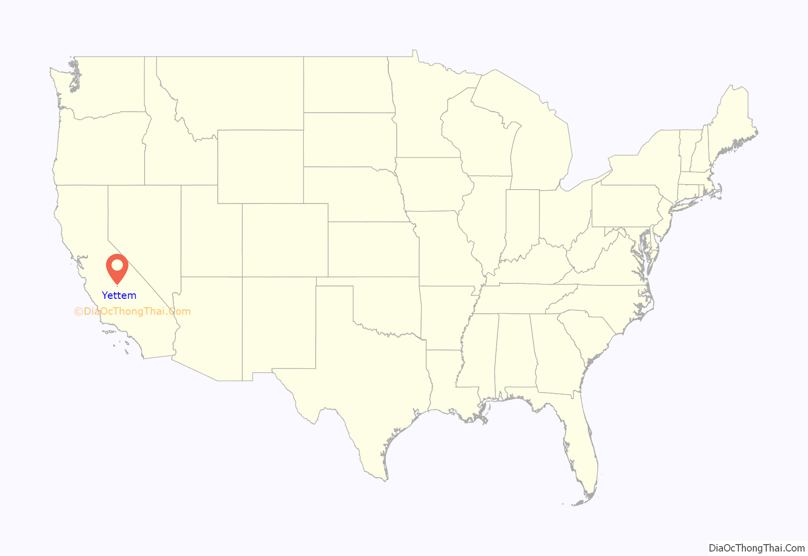
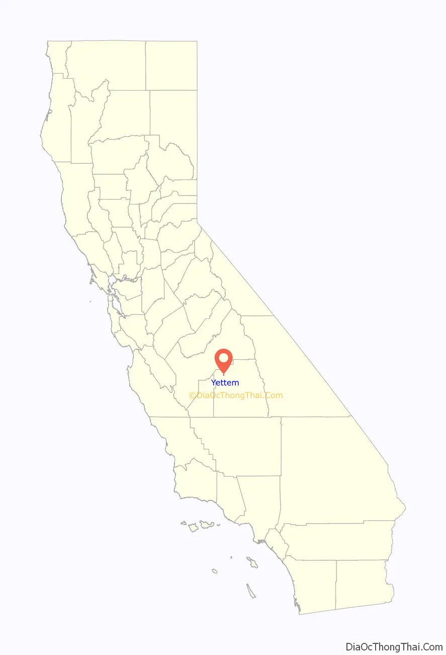
Yettem location map. Where is Yettem CDP?
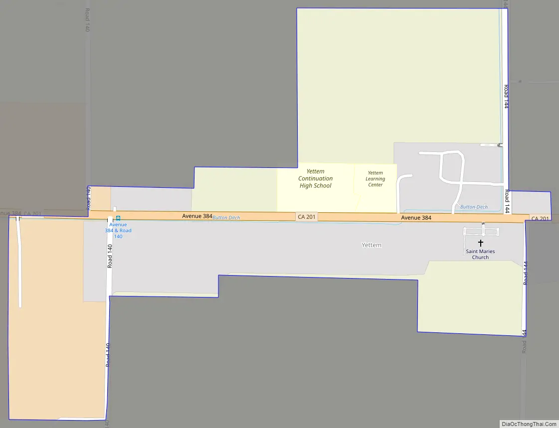
Yettem Road Map
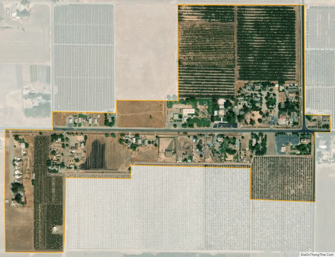
Yettem city Satellite Map
Geography
According to the United States Census Bureau, the CDP covers an area of 0.2 square miles (0.4 km), all of it land.
See also
Map of California State and its subdivision:- Alameda
- Alpine
- Amador
- Butte
- Calaveras
- Colusa
- Contra Costa
- Del Norte
- El Dorado
- Fresno
- Glenn
- Humboldt
- Imperial
- Inyo
- Kern
- Kings
- Lake
- Lassen
- Los Angeles
- Madera
- Marin
- Mariposa
- Mendocino
- Merced
- Modoc
- Mono
- Monterey
- Napa
- Nevada
- Orange
- Placer
- Plumas
- Riverside
- Sacramento
- San Benito
- San Bernardino
- San Diego
- San Francisco
- San Joaquin
- San Luis Obispo
- San Mateo
- Santa Barbara
- Santa Clara
- Santa Cruz
- Shasta
- Sierra
- Siskiyou
- Solano
- Sonoma
- Stanislaus
- Sutter
- Tehama
- Trinity
- Tulare
- Tuolumne
- Ventura
- Yolo
- Yuba
- Alabama
- Alaska
- Arizona
- Arkansas
- California
- Colorado
- Connecticut
- Delaware
- District of Columbia
- Florida
- Georgia
- Hawaii
- Idaho
- Illinois
- Indiana
- Iowa
- Kansas
- Kentucky
- Louisiana
- Maine
- Maryland
- Massachusetts
- Michigan
- Minnesota
- Mississippi
- Missouri
- Montana
- Nebraska
- Nevada
- New Hampshire
- New Jersey
- New Mexico
- New York
- North Carolina
- North Dakota
- Ohio
- Oklahoma
- Oregon
- Pennsylvania
- Rhode Island
- South Carolina
- South Dakota
- Tennessee
- Texas
- Utah
- Vermont
- Virginia
- Washington
- West Virginia
- Wisconsin
- Wyoming


