Yountville (/ˈjɔːntvɪl/ or /ˈjaʊntvɪl/) is a town in Napa County, in the Wine Country of California, United States. Located in the North Bay region of the Bay Area, the population was 3,436 at the 2020 census. Almost a third of the town’s population lives at the Veterans Home of California. Yountville is a popular tourist destination, particularly for its wineries and its two famed Michelin-starred restaurants, The French Laundry and Bouchon.
| Name: | Yountville city |
|---|---|
| LSAD Code: | 25 |
| LSAD Description: | city (suffix) |
| State: | California |
| County: | Napa County |
| Incorporated: | February 4, 1965 |
| Elevation: | 98 ft (30 m) |
| Total Area: | 1.49 sq mi (3.86 km²) |
| Land Area: | 1.49 sq mi (3.85 km²) |
| Water Area: | 0.00 sq mi (0.01 km²) 0% |
| Total Population: | 3,436 |
| Population Density: | 2,300/sq mi (890/km²) |
| ZIP code: | 94599 |
| Area code: | 707 |
| FIPS code: | 0686930 |
| GNISfeature ID: | 1652660 |
Online Interactive Map
Click on ![]() to view map in "full screen" mode.
to view map in "full screen" mode.
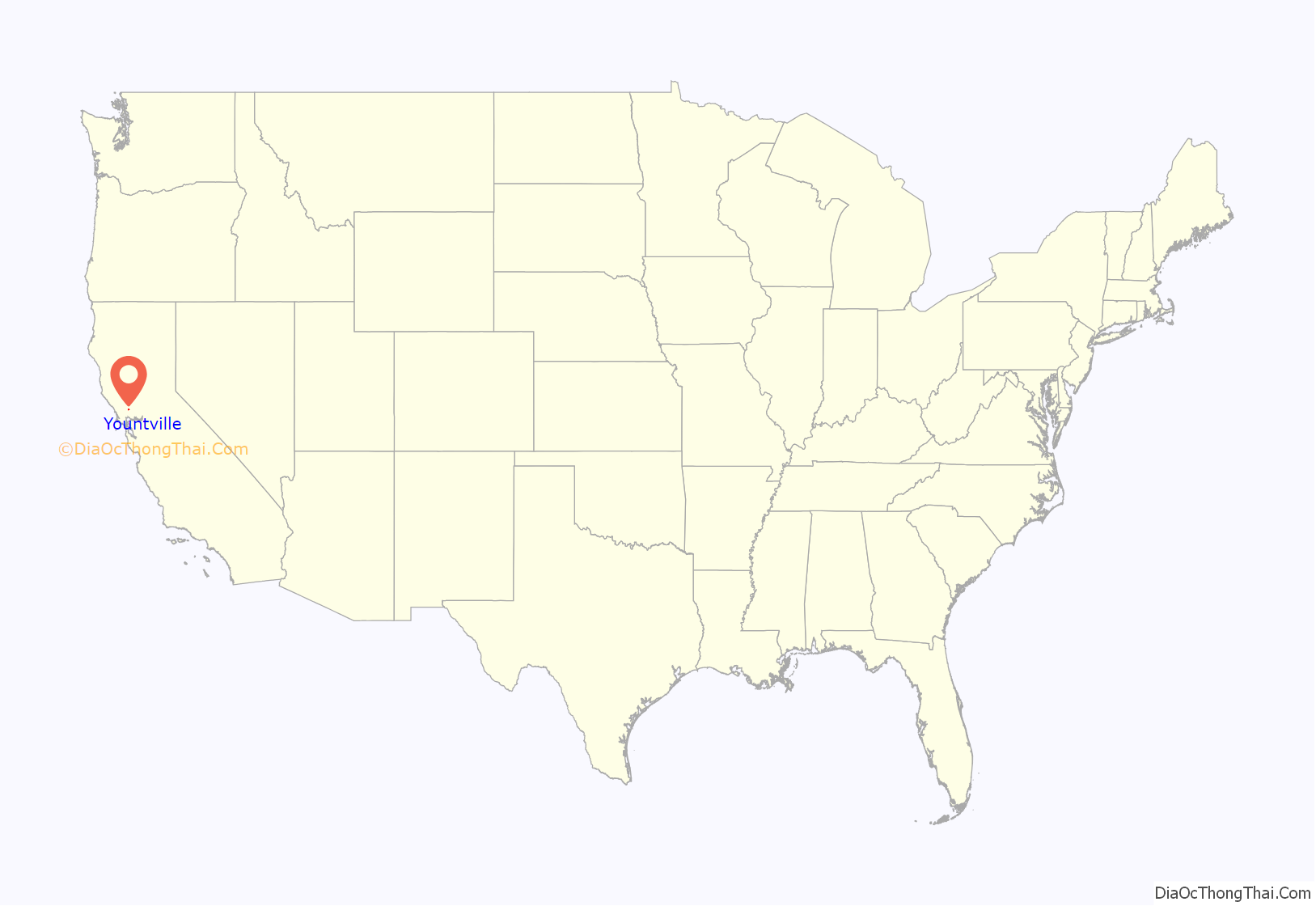
Yountville location map. Where is Yountville city?
History
The town was named Sebastopol in 1855.
A town in nearby Sonoma County had already claimed that name (Sebastopol, California), and thus the town was renamed in 1867 to honor George C. Yount, following his death. Yount was considered responsible for establishing the first vineyard in the Napa Valley.
Yountville Road Map
Yountville city Satellite Map
Geography
Yountville is located within Napa Valley, in the North Bay region of the San Francisco Bay Area of Northern California.
According to the United States Census Bureau, the town has a total area of 1.5 sq mi (4.0 km), all of it land.
A 5.2 magnitude earthquake occurred in Yountville on September 3, 2000.
Climate
See also
Map of California State and its subdivision:- Alameda
- Alpine
- Amador
- Butte
- Calaveras
- Colusa
- Contra Costa
- Del Norte
- El Dorado
- Fresno
- Glenn
- Humboldt
- Imperial
- Inyo
- Kern
- Kings
- Lake
- Lassen
- Los Angeles
- Madera
- Marin
- Mariposa
- Mendocino
- Merced
- Modoc
- Mono
- Monterey
- Napa
- Nevada
- Orange
- Placer
- Plumas
- Riverside
- Sacramento
- San Benito
- San Bernardino
- San Diego
- San Francisco
- San Joaquin
- San Luis Obispo
- San Mateo
- Santa Barbara
- Santa Clara
- Santa Cruz
- Shasta
- Sierra
- Siskiyou
- Solano
- Sonoma
- Stanislaus
- Sutter
- Tehama
- Trinity
- Tulare
- Tuolumne
- Ventura
- Yolo
- Yuba
- Alabama
- Alaska
- Arizona
- Arkansas
- California
- Colorado
- Connecticut
- Delaware
- District of Columbia
- Florida
- Georgia
- Hawaii
- Idaho
- Illinois
- Indiana
- Iowa
- Kansas
- Kentucky
- Louisiana
- Maine
- Maryland
- Massachusetts
- Michigan
- Minnesota
- Mississippi
- Missouri
- Montana
- Nebraska
- Nevada
- New Hampshire
- New Jersey
- New Mexico
- New York
- North Carolina
- North Dakota
- Ohio
- Oklahoma
- Oregon
- Pennsylvania
- Rhode Island
- South Carolina
- South Dakota
- Tennessee
- Texas
- Utah
- Vermont
- Virginia
- Washington
- West Virginia
- Wisconsin
- Wyoming
