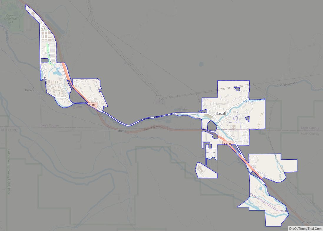
Basalt is a home rule municipality located in Eagle and Pitkin counties, Colorado, United States. The town population was 3,984 at the 2020 United States Census with 2,917 residing in Eagle County and 1,067 residing in Pitkin County. Basalt is a part of the Edwards-Glenwood Springs, CO Combined Statistical Area.
| Name: | Basalt town |
|---|---|
| LSAD Code: | 43 |
| LSAD Description: | town (suffix) |
| State: | Colorado |
| County: | Eagle County, Pitkin County |
| Incorporated: | August 26, 1901 |
| Elevation: | 6,611 ft (2,015 m) |
| Total Area: | 1.999 sq mi (5.178 km²) |
| Land Area: | 1.992 sq mi (5.158 km²) |
| Water Area: | 0.008 sq mi (0.020 km²) |
| Total Population: | 3,984 |
| Population Density: | 2,000/sq mi (800/km²) |
| ZIP code: | 81621 |
| Area code: | 970 |
| FIPS code: | 0804935 |
| GNISfeature ID: | 0175038 |
| Website: | www.basalt.net |
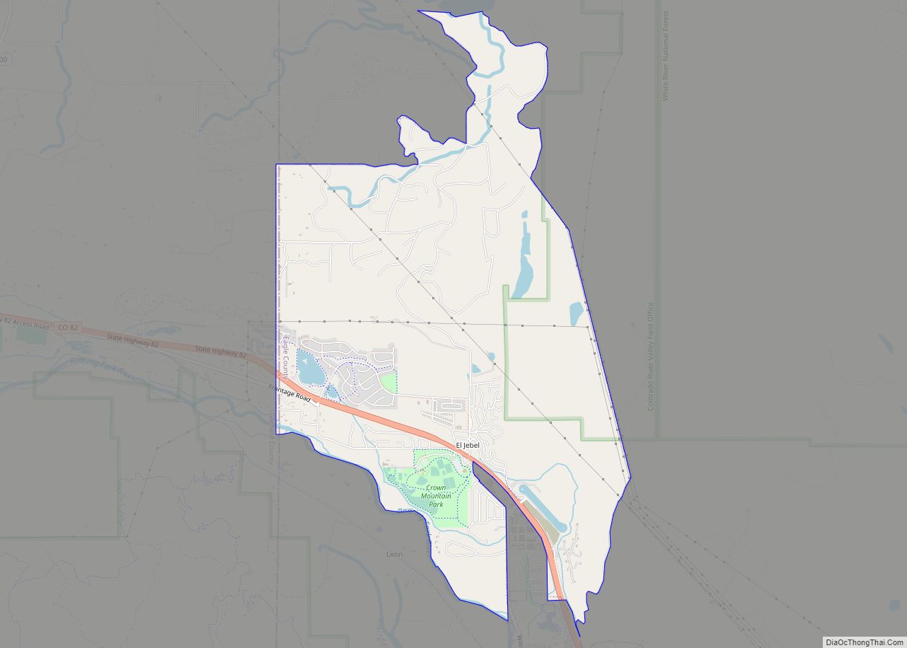
Online Interactive Map
Click on ![]() to view map in "full screen" mode.
to view map in "full screen" mode.
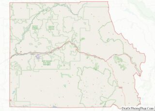
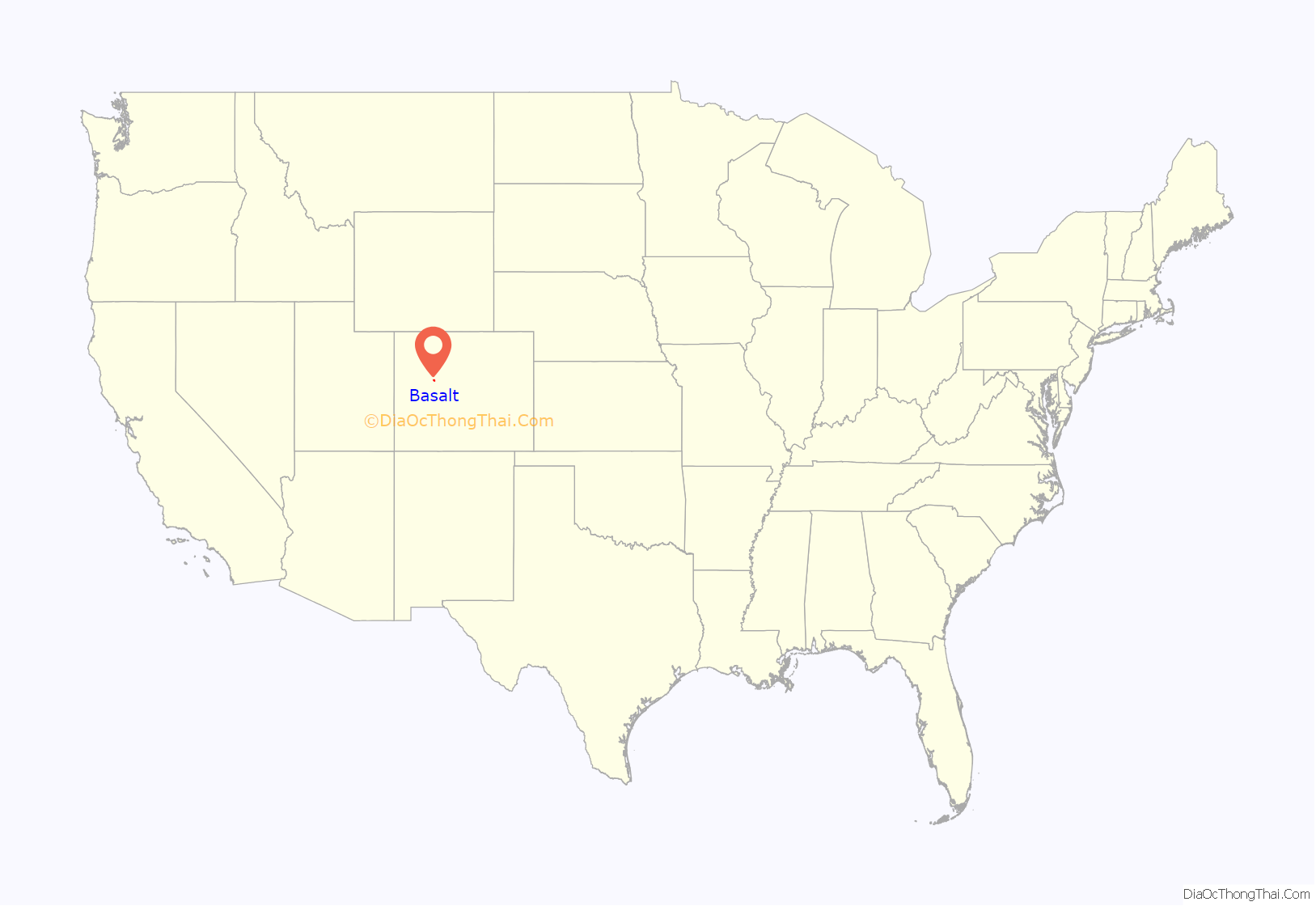
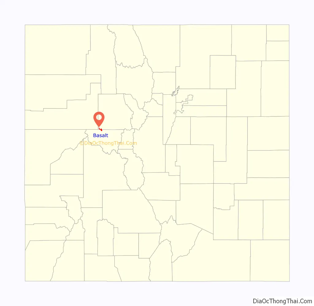
Basalt location map. Where is Basalt town?
History
Basalt was first named Aspen Junction after the railroad junction which led to present day Aspen, Colorado. Aspen Junction was a territory serving Aspen to Leadville Mining towns, with the Railroad Junction, also going West and South to Carbondale and Glenwood Springs. It was first served by the Colorado Midland Railroad, it was later bought out in 1901 by the Denver & Rio Grande Railroad.
The town was named for the basaltic rock formation on Basalt Mountain, and began as a railroad town. The town was incorporated in 1901.
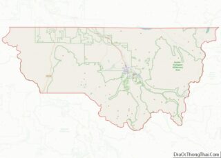
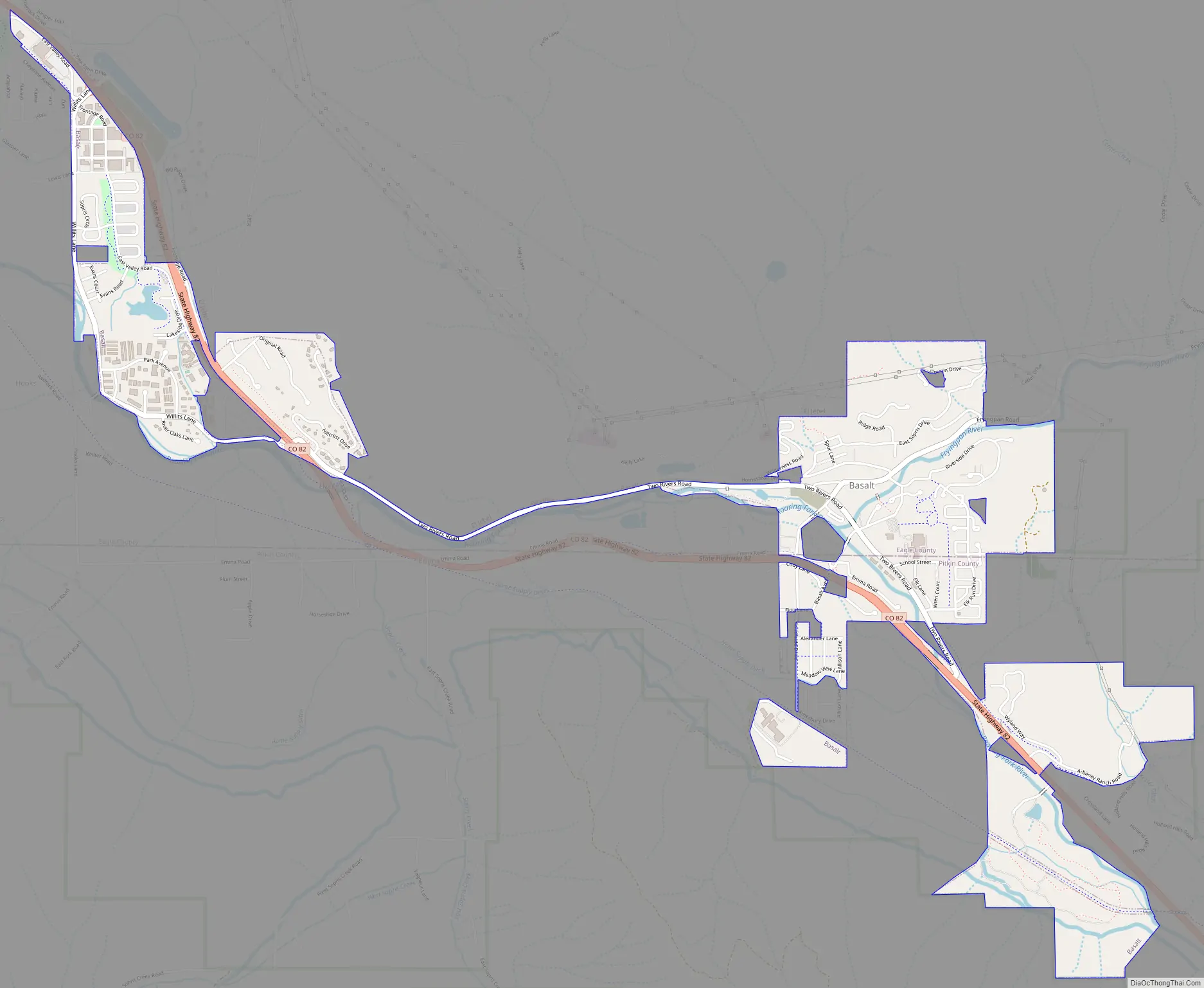
Basalt Road Map
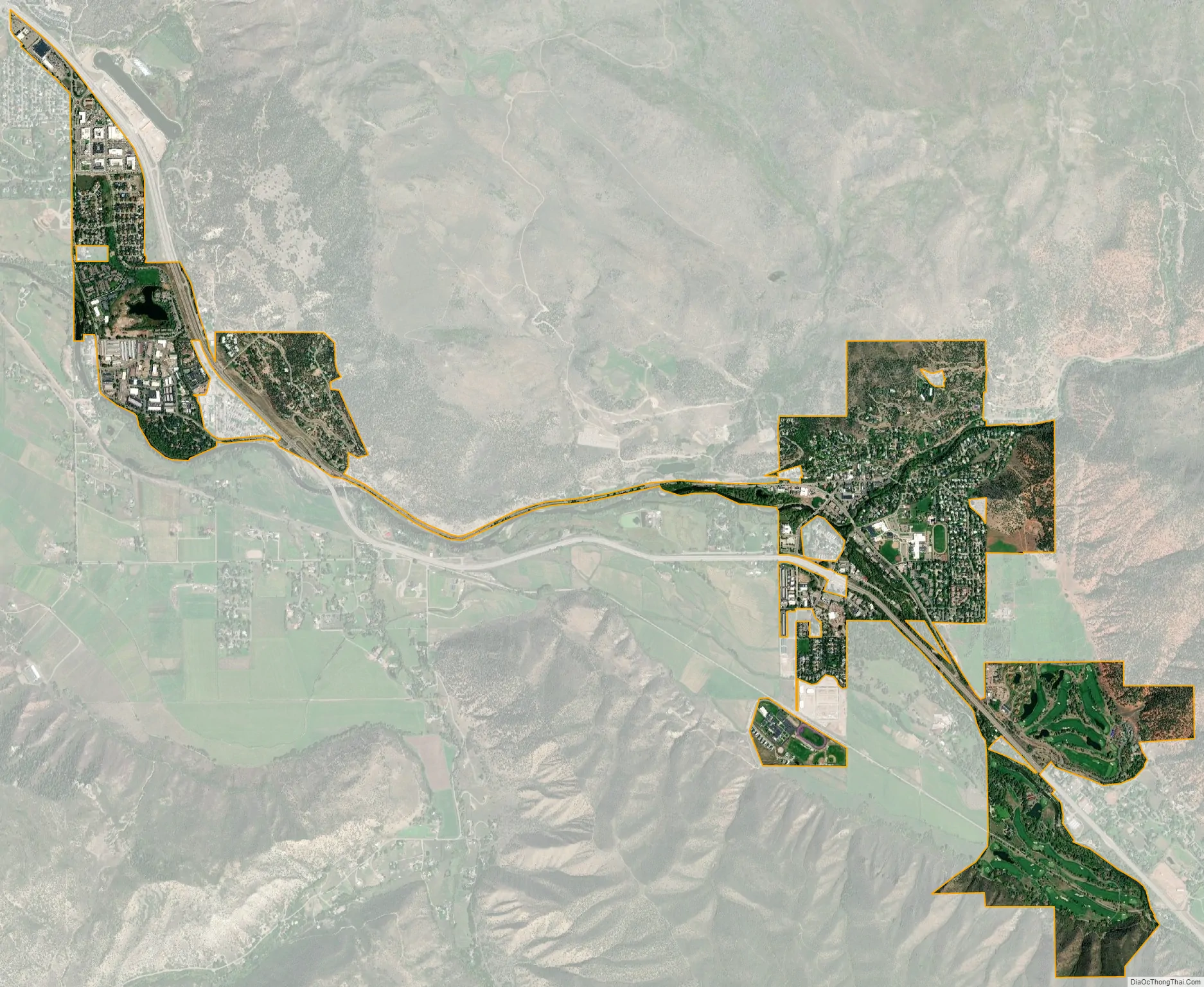
Basalt city Satellite Map
Geography
Basalt is located along State Highway 82, and at the confluence of the Fryingpan and Roaring Fork rivers.
At the 2020 United States Census, the town had a total area of 1,280 acres (5.178 km) including 4.9 acres (0.020 km) of water.
See also
Map of Colorado State and its subdivision:- Adams
- Alamosa
- Arapahoe
- Archuleta
- Baca
- Bent
- Boulder
- Broomfield
- Chaffee
- Cheyenne
- Clear Creek
- Conejos
- Costilla
- Crowley
- Custer
- Delta
- Denver
- Dolores
- Douglas
- Eagle
- El Paso
- Elbert
- Fremont
- Garfield
- Gilpin
- Grand
- Gunnison
- Hinsdale
- Huerfano
- Jackson
- Jefferson
- Kiowa
- Kit Carson
- La Plata
- Lake
- Larimer
- Las Animas
- Lincoln
- Logan
- Mesa
- Mineral
- Moffat
- Montezuma
- Montrose
- Morgan
- Otero
- Ouray
- Park
- Phillips
- Pitkin
- Prowers
- Pueblo
- Rio Blanco
- Rio Grande
- Routt
- Saguache
- San Juan
- San Miguel
- Sedgwick
- Summit
- Teller
- Washington
- Weld
- Yuma
- Alabama
- Alaska
- Arizona
- Arkansas
- California
- Colorado
- Connecticut
- Delaware
- District of Columbia
- Florida
- Georgia
- Hawaii
- Idaho
- Illinois
- Indiana
- Iowa
- Kansas
- Kentucky
- Louisiana
- Maine
- Maryland
- Massachusetts
- Michigan
- Minnesota
- Mississippi
- Missouri
- Montana
- Nebraska
- Nevada
- New Hampshire
- New Jersey
- New Mexico
- New York
- North Carolina
- North Dakota
- Ohio
- Oklahoma
- Oregon
- Pennsylvania
- Rhode Island
- South Carolina
- South Dakota
- Tennessee
- Texas
- Utah
- Vermont
- Virginia
- Washington
- West Virginia
- Wisconsin
- Wyoming