Cathedral is a census-designated place (CDP) located in and governed by Hinsdale County, Colorado, United States. The population of the Cathedral CDP was 15 at the United States Census 2020. The Powderhorn post office (Zip Code 81243) serves the area.
| Name: | Cathedral CDP |
|---|---|
| LSAD Code: | 57 |
| LSAD Description: | CDP (suffix) |
| State: | Colorado |
| County: | Hinsdale County |
| Elevation: | 9,249 ft (2,819 m) |
| Total Area: | 21.279 sq mi (55.113 km²) |
| Land Area: | 21.279 sq mi (55.113 km²) |
| Water Area: | 0.000 sq mi (0.000 km²) |
| Total Population: | 15 |
| Population Density: | 0.70/sq mi (0.27/km²) |
| ZIP code: | Powderhorn 81243 |
| Area code: | 970 |
| FIPS code: | 0812450 |
Online Interactive Map
Click on ![]() to view map in "full screen" mode.
to view map in "full screen" mode.
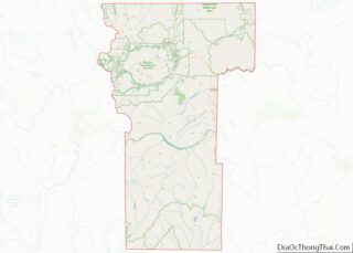
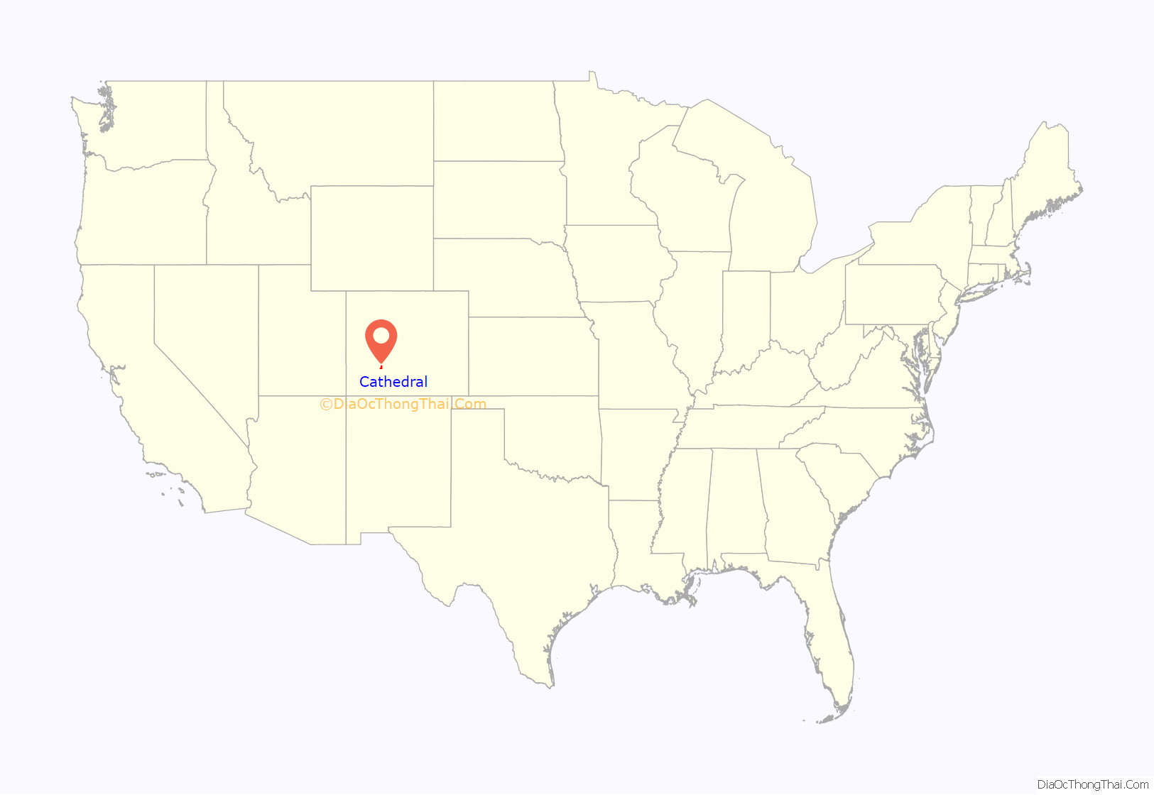
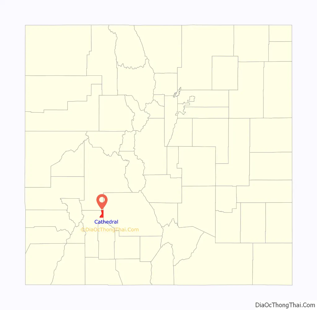
Cathedral location map. Where is Cathedral CDP?
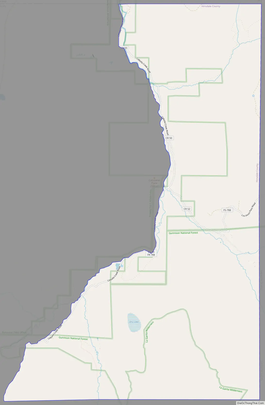
Cathedral Road Map
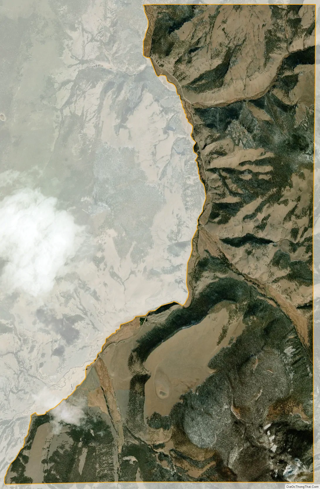
Cathedral city Satellite Map
Geography
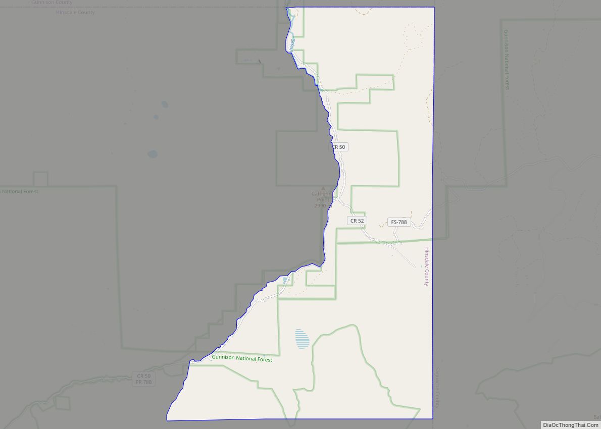
Cathedral is located in the northeast corner of Hinsdale County on the east side of Cebolla Creek, a north-flowing tributary of the Gunnison River. The community is at the junction of County Roads 50 and 45. County Road 50 leads southwest (upstream) 15 miles (24 km) to Colorado State Highway 149 at Slumgullion Pass, from which point Lake City, the Hinsdale County seat, is 9 miles (14 km) to the northwest. County Road 50 also leads north (downstream) from Cathedral into Gunnison and eventually via County Road 27 16 miles (26 km) to Highway 149 at Powderhorn.
The Cathedral CDP has an area of 13,619 acres (55.113 km), all land.
See also
Map of Colorado State and its subdivision:- Adams
- Alamosa
- Arapahoe
- Archuleta
- Baca
- Bent
- Boulder
- Broomfield
- Chaffee
- Cheyenne
- Clear Creek
- Conejos
- Costilla
- Crowley
- Custer
- Delta
- Denver
- Dolores
- Douglas
- Eagle
- El Paso
- Elbert
- Fremont
- Garfield
- Gilpin
- Grand
- Gunnison
- Hinsdale
- Huerfano
- Jackson
- Jefferson
- Kiowa
- Kit Carson
- La Plata
- Lake
- Larimer
- Las Animas
- Lincoln
- Logan
- Mesa
- Mineral
- Moffat
- Montezuma
- Montrose
- Morgan
- Otero
- Ouray
- Park
- Phillips
- Pitkin
- Prowers
- Pueblo
- Rio Blanco
- Rio Grande
- Routt
- Saguache
- San Juan
- San Miguel
- Sedgwick
- Summit
- Teller
- Washington
- Weld
- Yuma
- Alabama
- Alaska
- Arizona
- Arkansas
- California
- Colorado
- Connecticut
- Delaware
- District of Columbia
- Florida
- Georgia
- Hawaii
- Idaho
- Illinois
- Indiana
- Iowa
- Kansas
- Kentucky
- Louisiana
- Maine
- Maryland
- Massachusetts
- Michigan
- Minnesota
- Mississippi
- Missouri
- Montana
- Nebraska
- Nevada
- New Hampshire
- New Jersey
- New Mexico
- New York
- North Carolina
- North Dakota
- Ohio
- Oklahoma
- Oregon
- Pennsylvania
- Rhode Island
- South Carolina
- South Dakota
- Tennessee
- Texas
- Utah
- Vermont
- Virginia
- Washington
- West Virginia
- Wisconsin
- Wyoming