Leadville North is a census-designated place (CDP) in and governed by Lake County, Colorado, United States. The population of the Leadville North CDP was 1,892 at the United States Census 2020. The Leadville post office (Zip Code 80461) serves the area.
| Name: | Leadville North CDP |
|---|---|
| LSAD Code: | 57 |
| LSAD Description: | CDP (suffix) |
| State: | Colorado |
| County: | Lake County |
| Elevation: | 9,990 ft (3,045 m) |
| Total Area: | 2.449 sq mi (6.343 km²) |
| Land Area: | 2.449 sq mi (6.343 km²) |
| Water Area: | 0.000 sq mi (0.000 km²) |
| Total Population: | 1,892 |
| Population Density: | 770/sq mi (300/km²) |
| ZIP code: | Leadville 80461 |
| Area code: | 719 |
| FIPS code: | 0844375 |
Online Interactive Map
Click on ![]() to view map in "full screen" mode.
to view map in "full screen" mode.
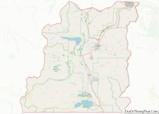
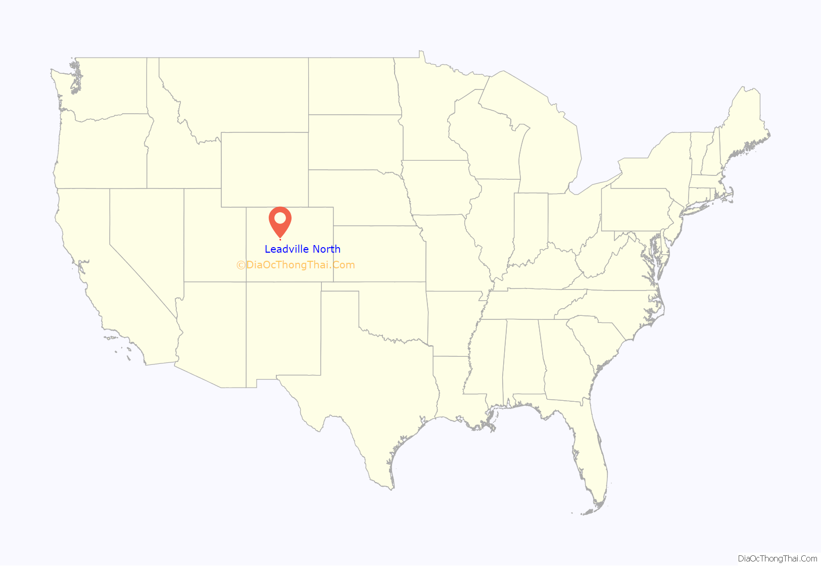
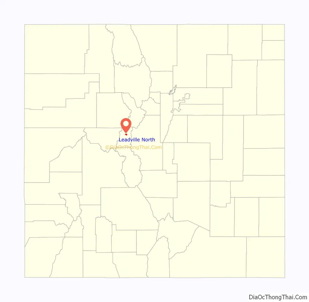
Leadville North location map. Where is Leadville North CDP?
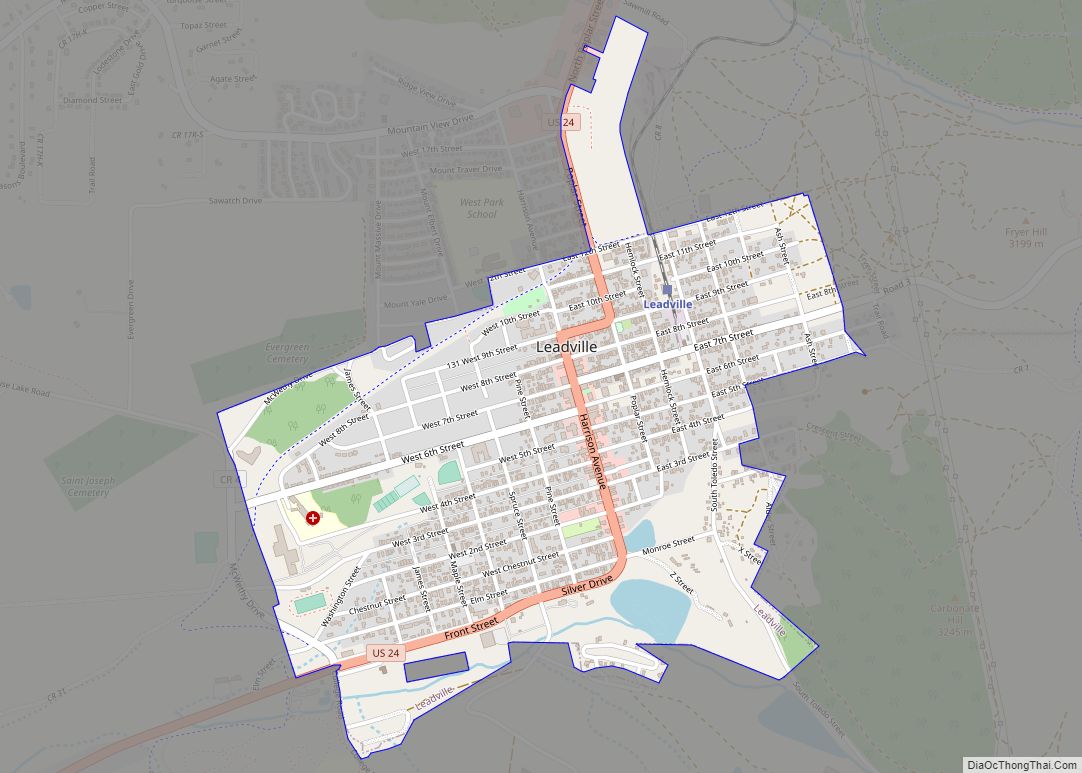
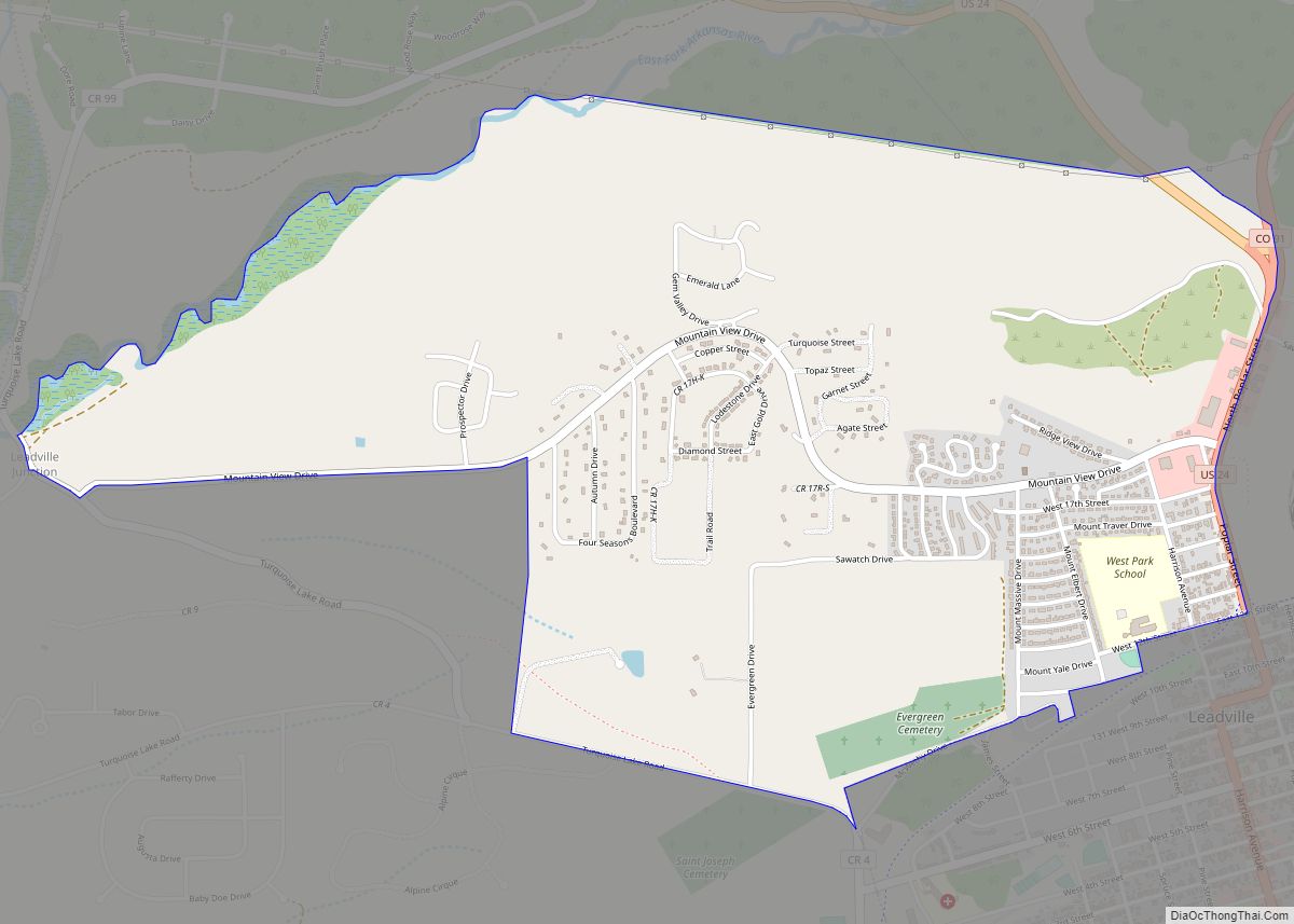
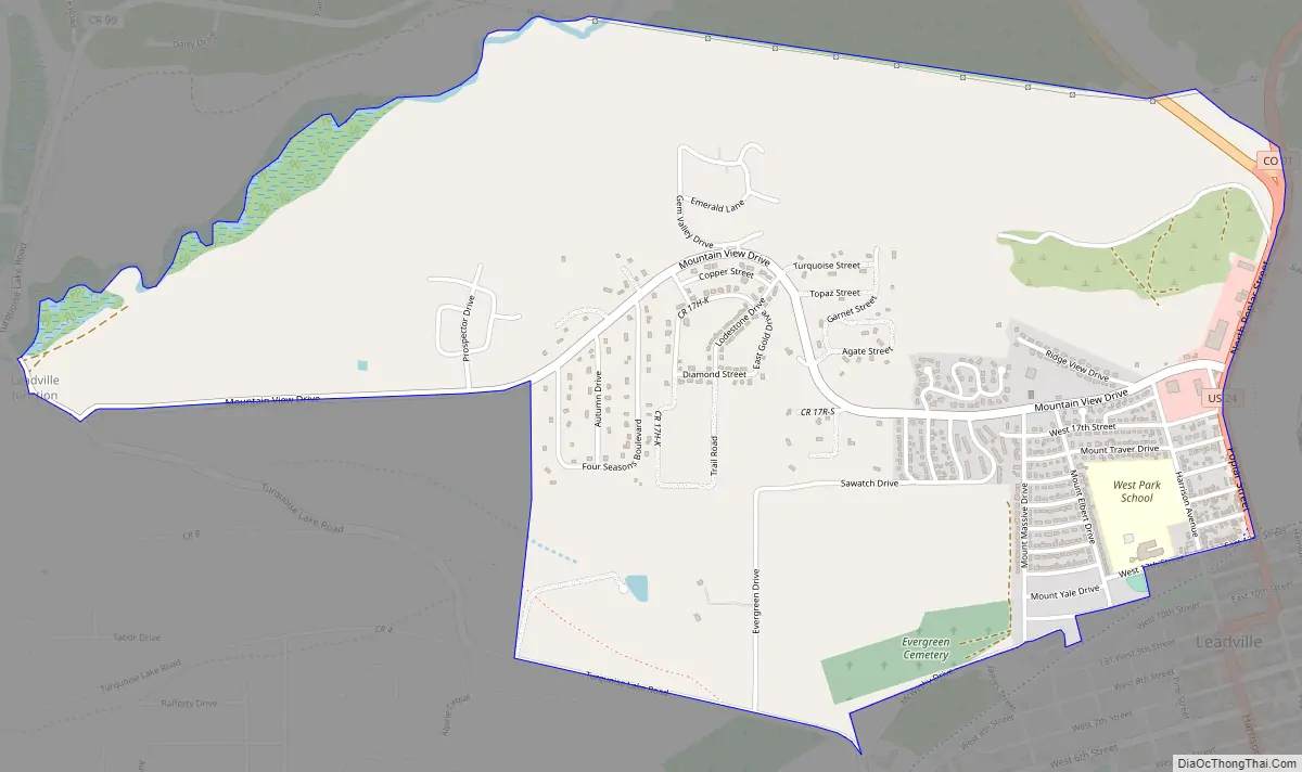
Leadville North Road Map
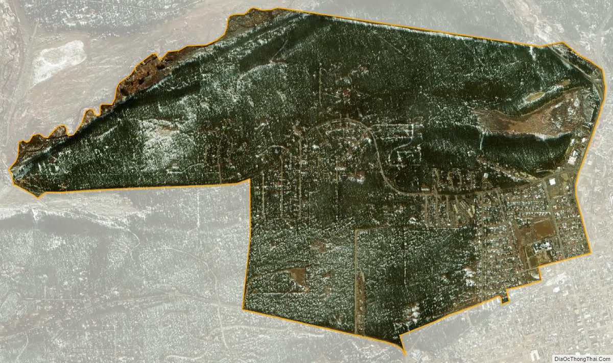
Leadville North city Satellite Map
Geography
Leadville North is bordered to the south by the City of Leadville, the county seat.
U.S. Route 24 forms the eastern edge of the community. The highway leads north 31 miles (50 km) over the Continental Divide to Interstate 70 (I-70) at Minturn, and it runs south through Leadville 35 miles (56 km) to Buena Vista. Colorado State Highway 91 has its southern terminus in Leadville North and leads north-northeast 22 miles (35 km) to I-70 at Copper Mountain.
The Leadville North CDP has an area of 1,567 acres (6.343 km), all land.
See also
Map of Colorado State and its subdivision:- Adams
- Alamosa
- Arapahoe
- Archuleta
- Baca
- Bent
- Boulder
- Broomfield
- Chaffee
- Cheyenne
- Clear Creek
- Conejos
- Costilla
- Crowley
- Custer
- Delta
- Denver
- Dolores
- Douglas
- Eagle
- El Paso
- Elbert
- Fremont
- Garfield
- Gilpin
- Grand
- Gunnison
- Hinsdale
- Huerfano
- Jackson
- Jefferson
- Kiowa
- Kit Carson
- La Plata
- Lake
- Larimer
- Las Animas
- Lincoln
- Logan
- Mesa
- Mineral
- Moffat
- Montezuma
- Montrose
- Morgan
- Otero
- Ouray
- Park
- Phillips
- Pitkin
- Prowers
- Pueblo
- Rio Blanco
- Rio Grande
- Routt
- Saguache
- San Juan
- San Miguel
- Sedgwick
- Summit
- Teller
- Washington
- Weld
- Yuma
- Alabama
- Alaska
- Arizona
- Arkansas
- California
- Colorado
- Connecticut
- Delaware
- District of Columbia
- Florida
- Georgia
- Hawaii
- Idaho
- Illinois
- Indiana
- Iowa
- Kansas
- Kentucky
- Louisiana
- Maine
- Maryland
- Massachusetts
- Michigan
- Minnesota
- Mississippi
- Missouri
- Montana
- Nebraska
- Nevada
- New Hampshire
- New Jersey
- New Mexico
- New York
- North Carolina
- North Dakota
- Ohio
- Oklahoma
- Oregon
- Pennsylvania
- Rhode Island
- South Carolina
- South Dakota
- Tennessee
- Texas
- Utah
- Vermont
- Virginia
- Washington
- West Virginia
- Wisconsin
- Wyoming