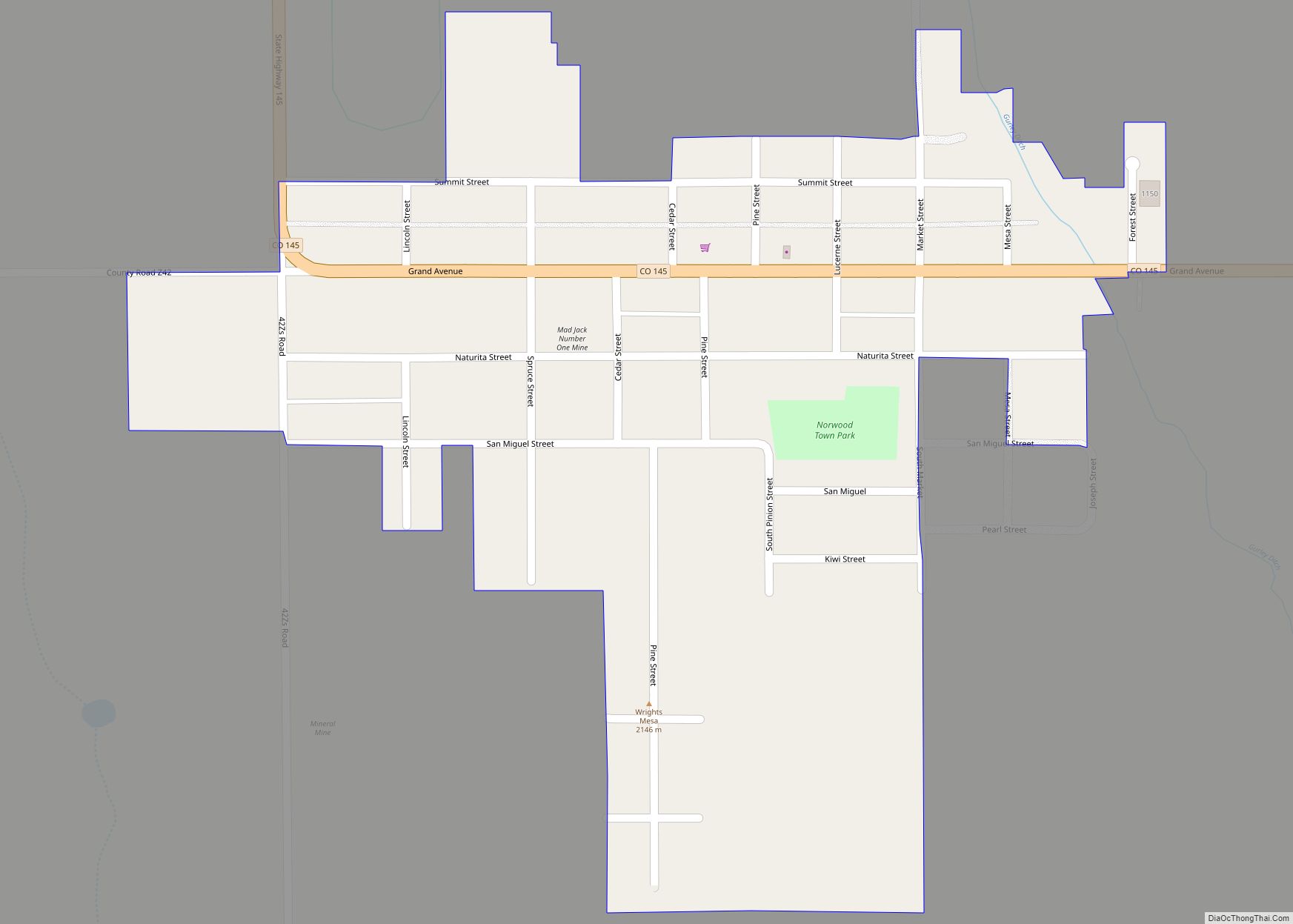
Norwood is a Statutory Town in San Miguel County, Colorado, United States. The population was 535 at the 2020 census.
A post office called Norwood has been in operation since 1887. The community was named after Norwood, Missouri, the native home of a first settler.
| Name: | Norwood town |
|---|---|
| LSAD Code: | 43 |
| LSAD Description: | town (suffix) |
| State: | Colorado |
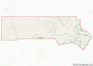
| County: | San Miguel County |
| Elevation: | 7,011 ft (2,137 m) |
| Total Area: | 0.28 sq mi (0.73 km²) |
| Land Area: | 0.28 sq mi (0.73 km²) |
| Water Area: | 0.00 sq mi (0.00 km²) |
| Total Population: | 535 |
| Population Density: | 1,900/sq mi (730/km²) |
| ZIP code: | 81423 (PO Box) |
| Area code: | 970 |
| FIPS code: | 0854880 |
| GNISfeature ID: | 0186059 |
| Website: | www.norwoodtown.com |
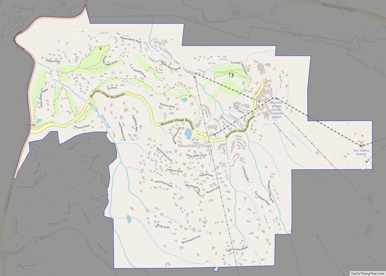
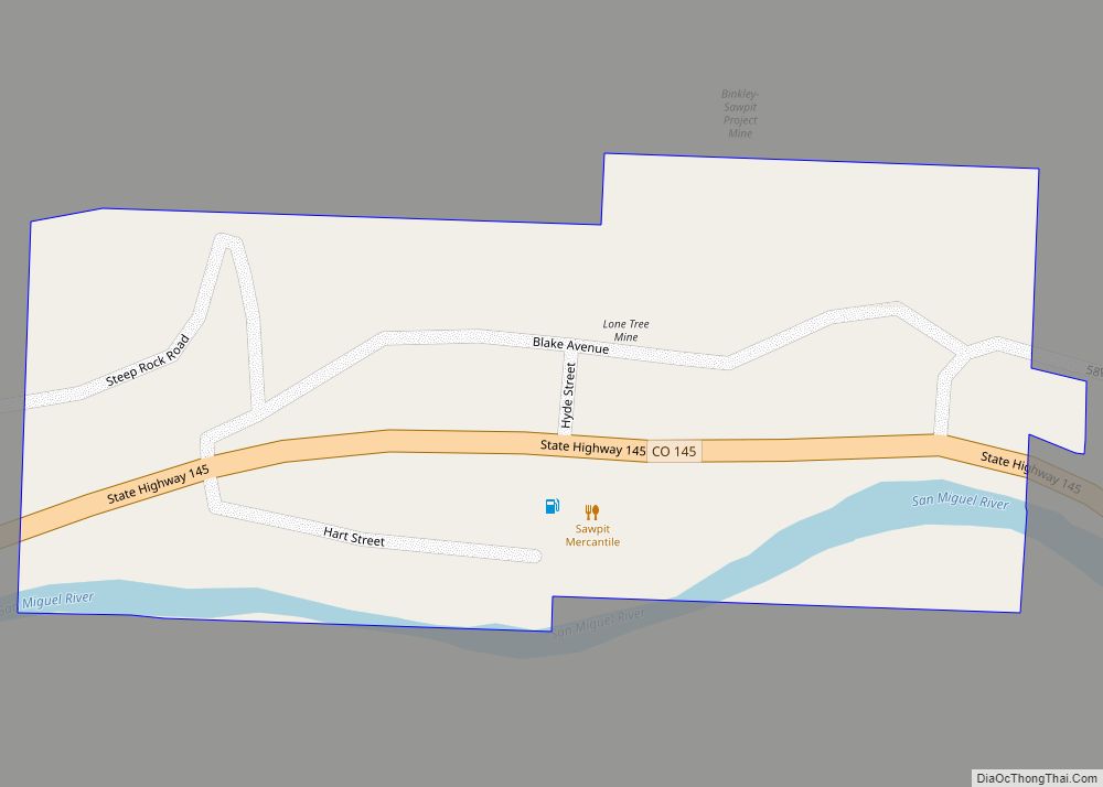
Online Interactive Map
Click on ![]() to view map in "full screen" mode.
to view map in "full screen" mode.
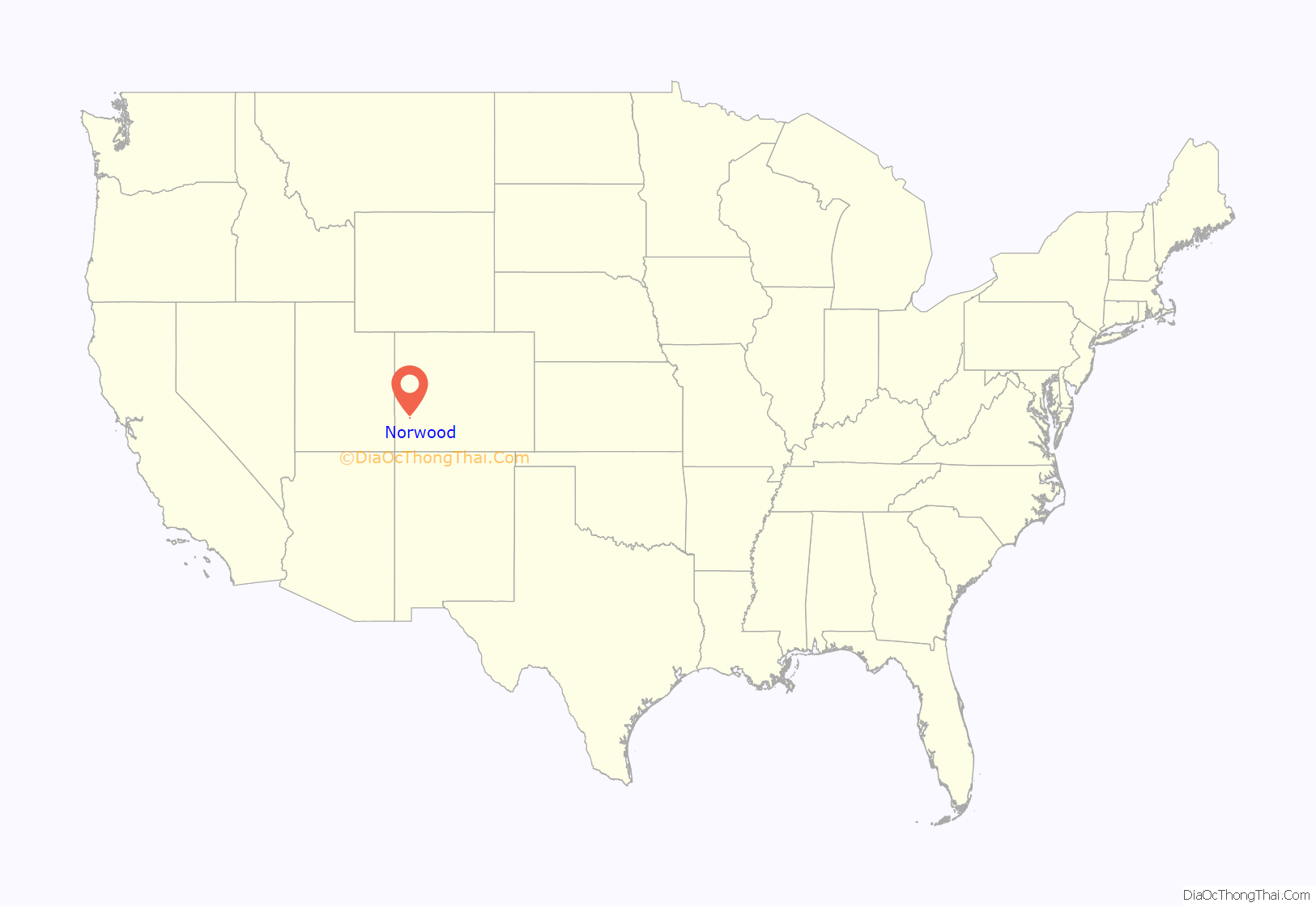
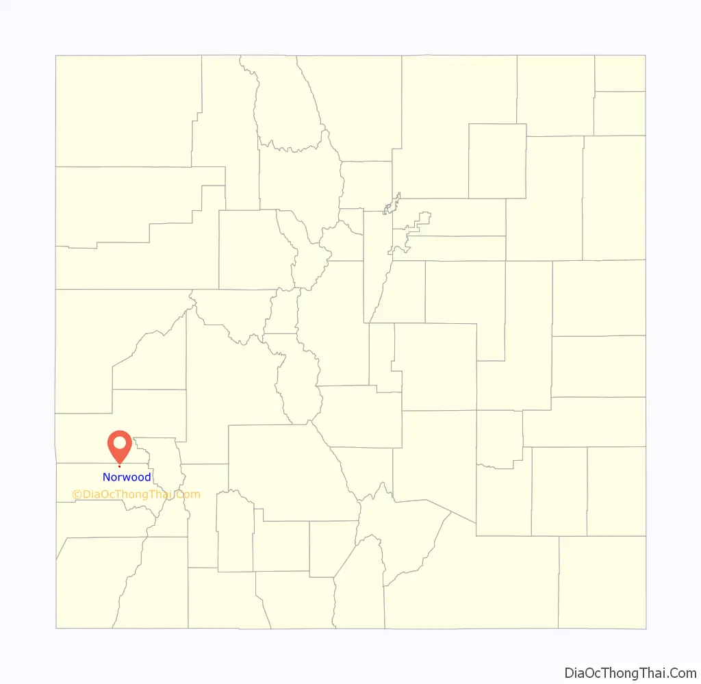
Norwood location map. Where is Norwood town?
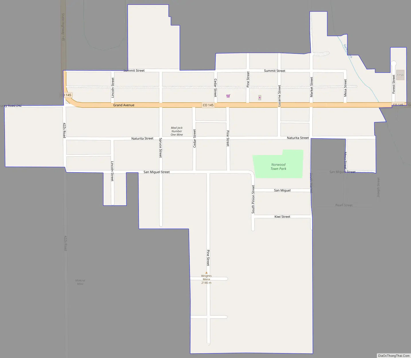
Norwood Road Map
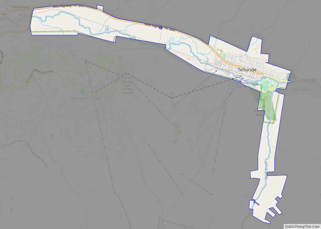
Norwood city Satellite Map
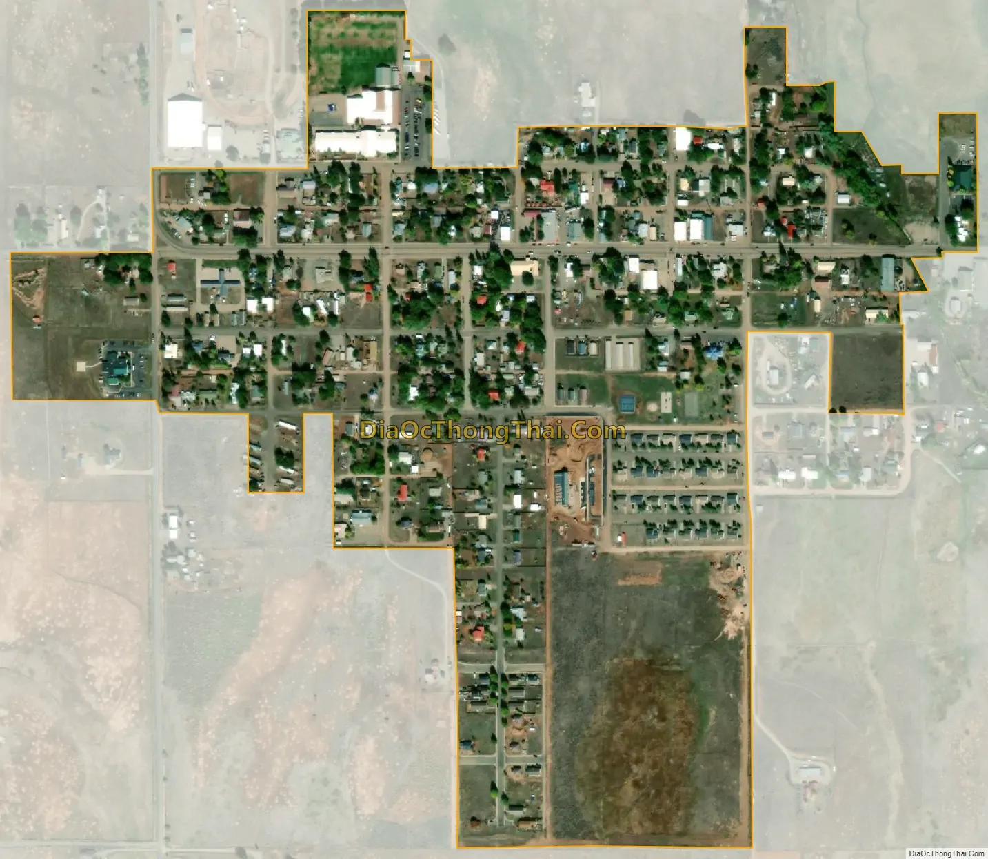
Geography
Norwood is located at 38°7′52″N 108°17′29″W / 38.13111°N 108.29139°W / 38.13111; -108.29139 (38.131077, -108.291478).
According to the United States Census Bureau, the town has a total area of 0.3 square miles (0.78 km), all land.
Norwood’s rural location on Wright’s Mesa led to its 2019 designation as an International Dark Sky Community by the International Dark-Sky Association. Norwood is one of 32 International Dark Sky Communities.
See also
Map of Colorado State and its subdivision:- Adams
- Alamosa
- Arapahoe
- Archuleta
- Baca
- Bent
- Boulder
- Broomfield
- Chaffee
- Cheyenne
- Clear Creek
- Conejos
- Costilla
- Crowley
- Custer
- Delta
- Denver
- Dolores
- Douglas
- Eagle
- El Paso
- Elbert
- Fremont
- Garfield
- Gilpin
- Grand
- Gunnison
- Hinsdale
- Huerfano
- Jackson
- Jefferson
- Kiowa
- Kit Carson
- La Plata
- Lake
- Larimer
- Las Animas
- Lincoln
- Logan
- Mesa
- Mineral
- Moffat
- Montezuma
- Montrose
- Morgan
- Otero
- Ouray
- Park
- Phillips
- Pitkin
- Prowers
- Pueblo
- Rio Blanco
- Rio Grande
- Routt
- Saguache
- San Juan
- San Miguel
- Sedgwick
- Summit
- Teller
- Washington
- Weld
- Yuma
- Alabama
- Alaska
- Arizona
- Arkansas
- California
- Colorado
- Connecticut
- Delaware
- District of Columbia
- Florida
- Georgia
- Hawaii
- Idaho
- Illinois
- Indiana
- Iowa
- Kansas
- Kentucky
- Louisiana
- Maine
- Maryland
- Massachusetts
- Michigan
- Minnesota
- Mississippi
- Missouri
- Montana
- Nebraska
- Nevada
- New Hampshire
- New Jersey
- New Mexico
- New York
- North Carolina
- North Dakota
- Ohio
- Oklahoma
- Oregon
- Pennsylvania
- Rhode Island
- South Carolina
- South Dakota
- Tennessee
- Texas
- Utah
- Vermont
- Virginia
- Washington
- West Virginia
- Wisconsin
- Wyoming