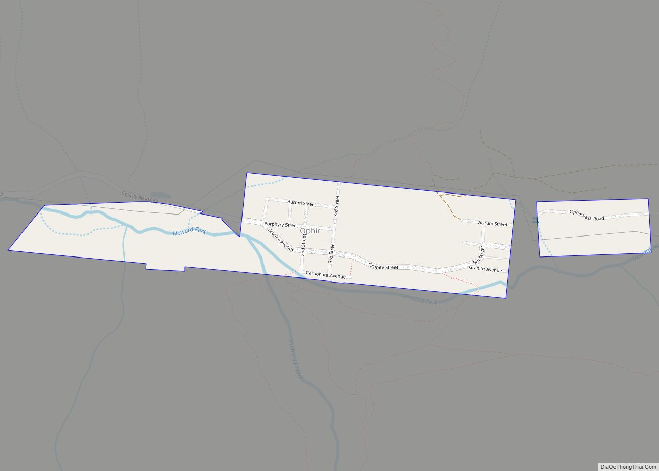
The historic mining town of Ophir is a home rule municipality governed by a general assembly and is located in San Miguel County, Colorado, United States. Ophir is located two miles from the Ames Hydroelectric Generating Plant, the world’s first hydroelectric plant to supply alternating current electricity for an industrial purpose (mining). The population was 197 at the 2020 census.
A post office called Ophir was established in 1878. The town was named after Ophir, a place mentioned in the Hebrew Bible.
| Name: | Ophir town |
|---|---|
| LSAD Code: | 43 |
| LSAD Description: | town (suffix) |
| State: | Colorado |
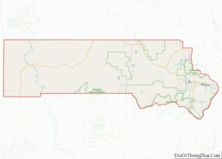
| County: | San Miguel County |
| Elevation: | 9,695 ft (2,955 m) |
| Total Area: | 0.23 sq mi (0.61 km²) |
| Land Area: | 0.23 sq mi (0.61 km²) |
| Water Area: | 0.00 sq mi (0.00 km²) |
| Total Population: | 197 |
| Population Density: | 860/sq mi (320/km²) |
| ZIP code: | 81426 (PO Box) |
| Area code: | 970 |
| FIPS code: | 0855870 |
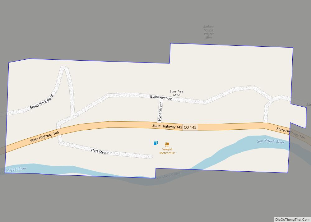
Online Interactive Map
Click on ![]() to view map in "full screen" mode.
to view map in "full screen" mode.
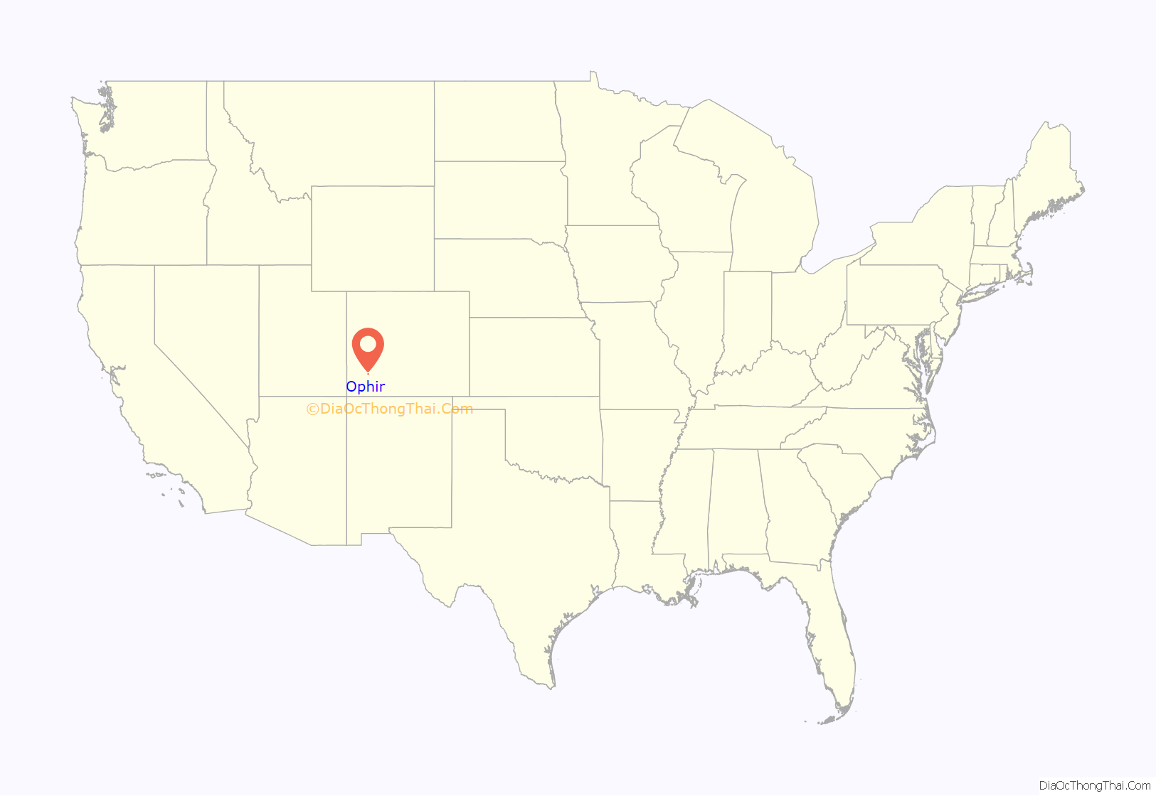
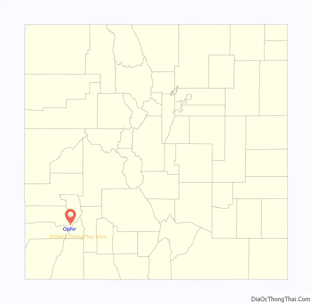
Ophir location map. Where is Ophir town?
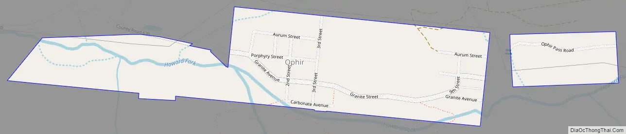
Ophir Road Map
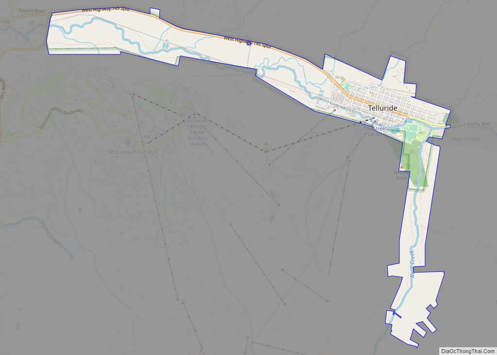
Ophir city Satellite Map
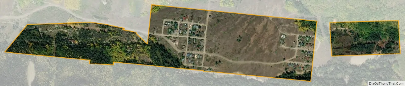
Geography
Ophir is located at 37°51′22″N 107°49′52″W / 37.85611°N 107.83111°W / 37.85611; -107.83111 (37.856049, -107.831167).
According to the United States Census Bureau, the town has a total area of 0.2 square miles (0.52 km), all land.
See also
Map of Colorado State and its subdivision:- Adams
- Alamosa
- Arapahoe
- Archuleta
- Baca
- Bent
- Boulder
- Broomfield
- Chaffee
- Cheyenne
- Clear Creek
- Conejos
- Costilla
- Crowley
- Custer
- Delta
- Denver
- Dolores
- Douglas
- Eagle
- El Paso
- Elbert
- Fremont
- Garfield
- Gilpin
- Grand
- Gunnison
- Hinsdale
- Huerfano
- Jackson
- Jefferson
- Kiowa
- Kit Carson
- La Plata
- Lake
- Larimer
- Las Animas
- Lincoln
- Logan
- Mesa
- Mineral
- Moffat
- Montezuma
- Montrose
- Morgan
- Otero
- Ouray
- Park
- Phillips
- Pitkin
- Prowers
- Pueblo
- Rio Blanco
- Rio Grande
- Routt
- Saguache
- San Juan
- San Miguel
- Sedgwick
- Summit
- Teller
- Washington
- Weld
- Yuma
- Alabama
- Alaska
- Arizona
- Arkansas
- California
- Colorado
- Connecticut
- Delaware
- District of Columbia
- Florida
- Georgia
- Hawaii
- Idaho
- Illinois
- Indiana
- Iowa
- Kansas
- Kentucky
- Louisiana
- Maine
- Maryland
- Massachusetts
- Michigan
- Minnesota
- Mississippi
- Missouri
- Montana
- Nebraska
- Nevada
- New Hampshire
- New Jersey
- New Mexico
- New York
- North Carolina
- North Dakota
- Ohio
- Oklahoma
- Oregon
- Pennsylvania
- Rhode Island
- South Carolina
- South Dakota
- Tennessee
- Texas
- Utah
- Vermont
- Virginia
- Washington
- West Virginia
- Wisconsin
- Wyoming