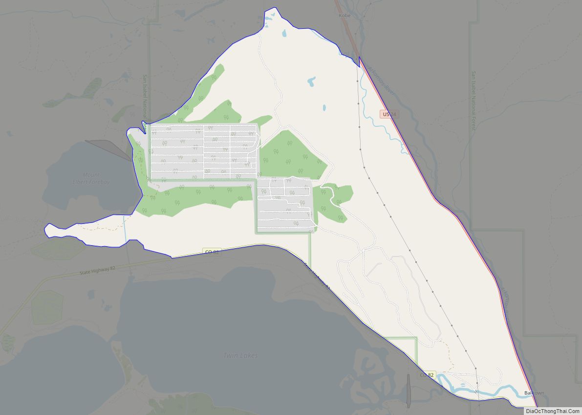
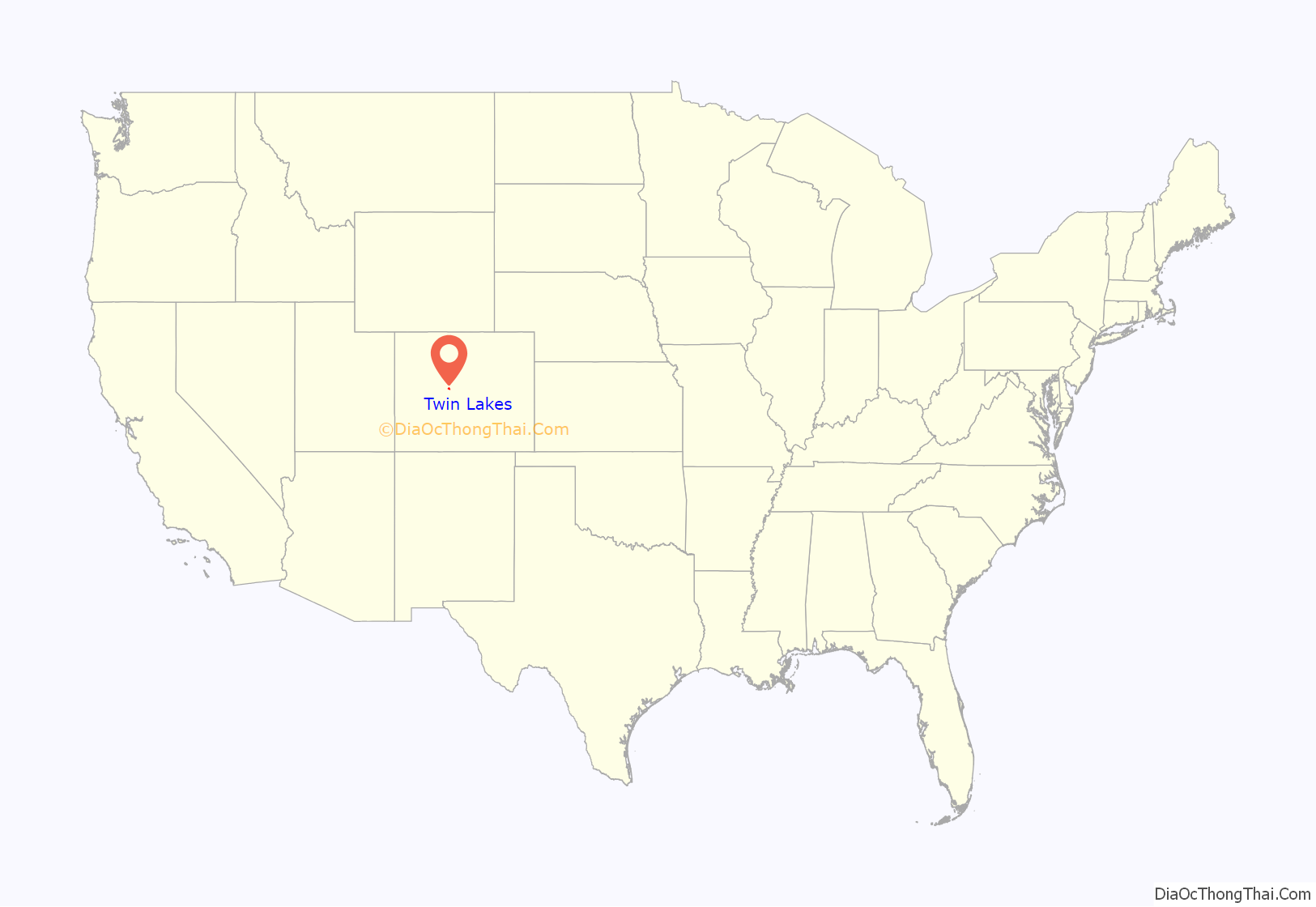
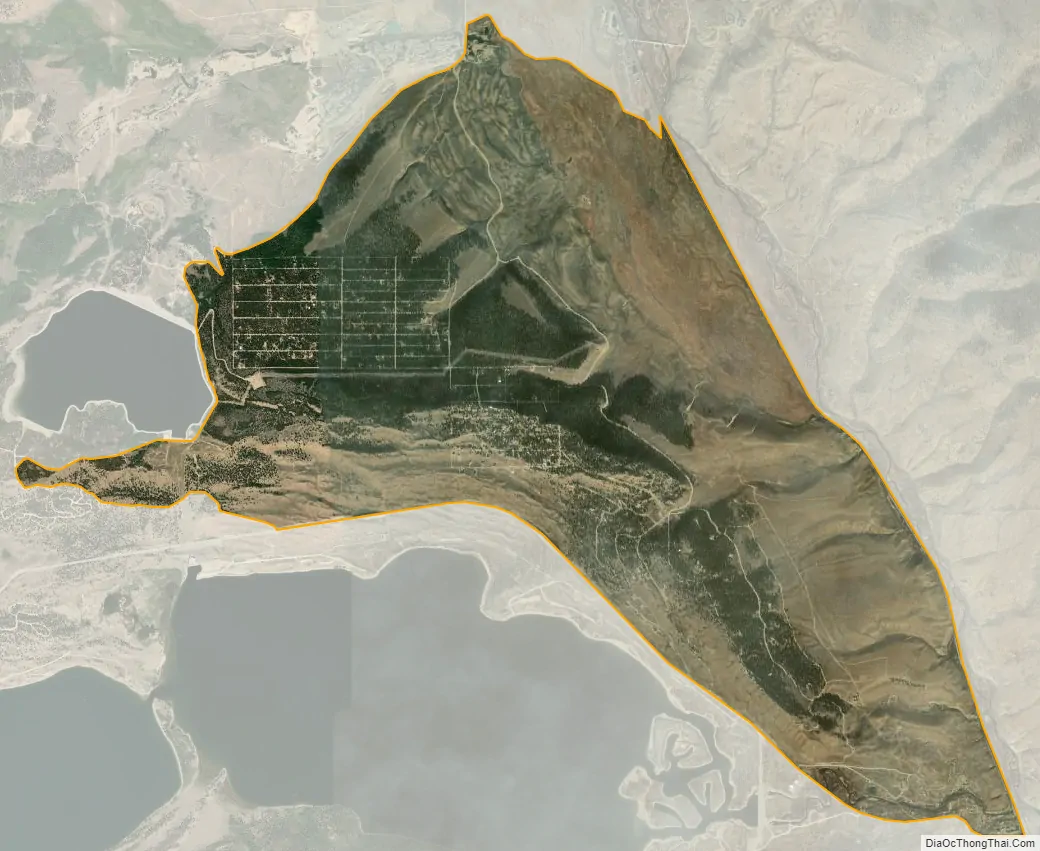
Twin Lakes is a pair of glacier-carved alpine lakes about 15 miles (24 km) south of historic Leadville, Colorado. They are downstream along the Arkansas River, whose headwaters are by Leadville. The lakes, however, are on a tributary, Lake Creek, which joins the Arkansas just below the lakes. After dredging, the lakes now have a surface area of 2,700 acres (11 km), and they serve as a reservoir to store water for use in the Front Range. Both east and west lakes are recreation areas for boating and fishing.
Twin Lakes is also the name of an adjacent census-designated place (CDP) and a post office in and governed by Lake County, Colorado, United States. The Twin Lakes post office has the ZIP Code 81251. At the United States Census 2020, the population of the Twin Lakes CDP was 204.
| Name: | Twin Lakes CDP |
|---|---|
| LSAD Code: | 57 |
| LSAD Description: | CDP (suffix) |
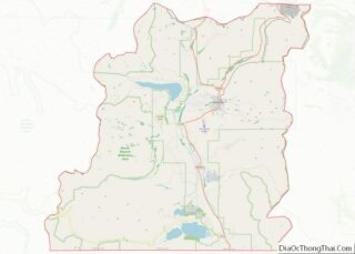
| State: | Colorado |
| County: | Lake County |
| Elevation: | 9,603 ft (2,927 m) |
| Total Area: | 1.661 sq mi (4.302 km²) |
| Land Area: | 1.644 sq mi (4.258 km²) |
| Water Area: | 0.017 sq mi (0.044 km²) |
| Total Population: | 204 |
| Population Density: | 120/sq mi (47/km²) |
| ZIP code: | 81251 |
| Area code: | 719 |
| FIPS code: | 0879105 |
Online Interactive Map
Click on ![]() to view map in "full screen" mode.
to view map in "full screen" mode.
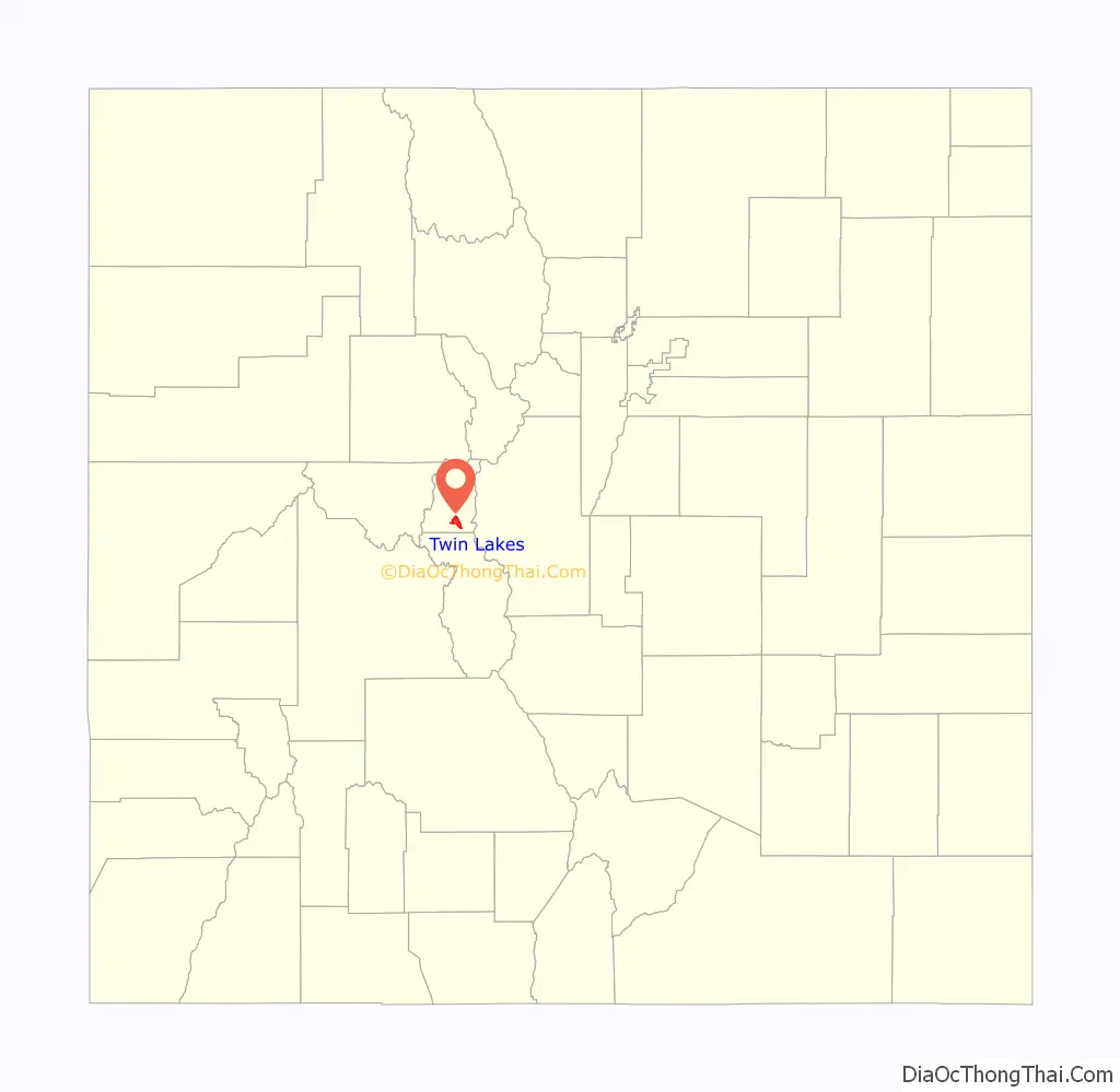
Twin Lakes location map. Where is Twin Lakes CDP?
History
Lake County, one of the original 17 counties created by the Colorado legislature in 1861, was named for the Twin Lakes. As originally defined, Lake County included a large portion of western Colorado to the south and west of its present boundaries. The Twin Lakes District has been listed on the National Register of Historic Places since 1974.
Twin Lakes Road Map

Twin Lakes city Satellite Map
Geography
The Twin Lakes and the Twin Lakes CDP are located about 15 miles (24 km) south of Leadville, the county seat. The CDP is bounded on the east by U.S. Route 24 (US 24), on the south by Colorado State Highway 82 (SH 82, and on the north and west by County Highway 24. About 4 miles (6 km) west of the CDP is the original community of Twin Lakes, near the west end of what is now the Twin Lakes Reservoir. The reservoir lies south of SH 82, outside the CDP. SH 82 leads west across Independence Pass 40 miles (64 km) to Aspen, while US 24 leads north to Leadville and south 20 miles (32 km) to Buena Vista.
The altitude of the Twin Lakes area ranges from 9,200 feet (2,800 m) to over 9,800 feet (3,000 m), all of it somewhat lower than Leadville. Mount Elbert, the highest peak in Colorado, rises directly west of the CDP to its 14,433-foot (4,399 m) summit, just 6 miles (10 km) west of the center of the CDP.
The Twin Lakes CDP has an area of 1,063 acres (4.302 km), including 11 acres (0.044 km) of water, (much less than the surface area of the Twin Lakes themselves).
See also
Map of Colorado State and its subdivision:- Adams
- Alamosa
- Arapahoe
- Archuleta
- Baca
- Bent
- Boulder
- Broomfield
- Chaffee
- Cheyenne
- Clear Creek
- Conejos
- Costilla
- Crowley
- Custer
- Delta
- Denver
- Dolores
- Douglas
- Eagle
- El Paso
- Elbert
- Fremont
- Garfield
- Gilpin
- Grand
- Gunnison
- Hinsdale
- Huerfano
- Jackson
- Jefferson
- Kiowa
- Kit Carson
- La Plata
- Lake
- Larimer
- Las Animas
- Lincoln
- Logan
- Mesa
- Mineral
- Moffat
- Montezuma
- Montrose
- Morgan
- Otero
- Ouray
- Park
- Phillips
- Pitkin
- Prowers
- Pueblo
- Rio Blanco
- Rio Grande
- Routt
- Saguache
- San Juan
- San Miguel
- Sedgwick
- Summit
- Teller
- Washington
- Weld
- Yuma
- Alabama
- Alaska
- Arizona
- Arkansas
- California
- Colorado
- Connecticut
- Delaware
- District of Columbia
- Florida
- Georgia
- Hawaii
- Idaho
- Illinois
- Indiana
- Iowa
- Kansas
- Kentucky
- Louisiana
- Maine
- Maryland
- Massachusetts
- Michigan
- Minnesota
- Mississippi
- Missouri
- Montana
- Nebraska
- Nevada
- New Hampshire
- New Jersey
- New Mexico
- New York
- North Carolina
- North Dakota
- Ohio
- Oklahoma
- Oregon
- Pennsylvania
- Rhode Island
- South Carolina
- South Dakota
- Tennessee
- Texas
- Utah
- Vermont
- Virginia
- Washington
- West Virginia
- Wisconsin
- Wyoming