Woody Creek is an unincorporated town, a post office, and a census-designated place (CDP) located in and governed by Pitkin County, Colorado, United States. The Woody Creek post office has the ZIP Code 81656 (post office boxes). At the United States Census 2020, the population of the Woody Creek CDP was 290. The Woody Creek Metropolitan District provides services. The CDP is a part of the Glenwood Springs, CO Micropolitan Statistical Area.
| Name: | Woody Creek CDP |
|---|---|
| LSAD Code: | 57 |
| LSAD Description: | CDP (suffix) |
| State: | Colorado |
| County: | Pitkin County |
| Total Area: | 0.613 sq mi (1.587 km²) |
| Land Area: | 0.613 sq mi (1.587 km²) |
| Water Area: | 0.000 sq mi (0.000 km²) |
| Total Population: | 290 |
| Population Density: | 470/sq mi (180/km²) |
| ZIP code: | 81656 |
| Area code: | 970 |
| FIPS code: | 0886200 |
Online Interactive Map
Click on ![]() to view map in "full screen" mode.
to view map in "full screen" mode.
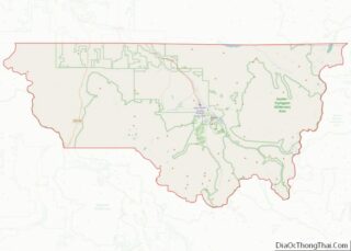
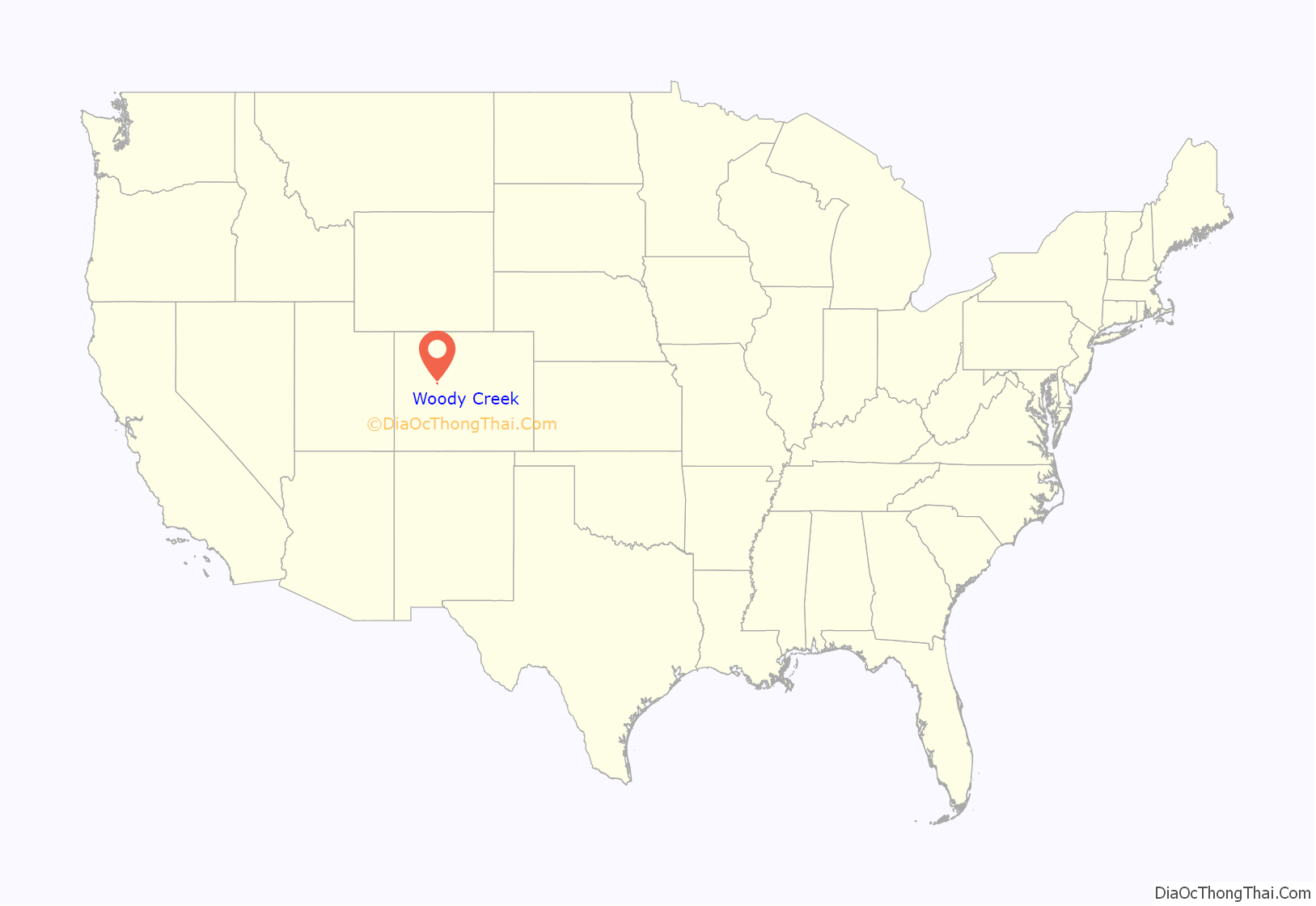
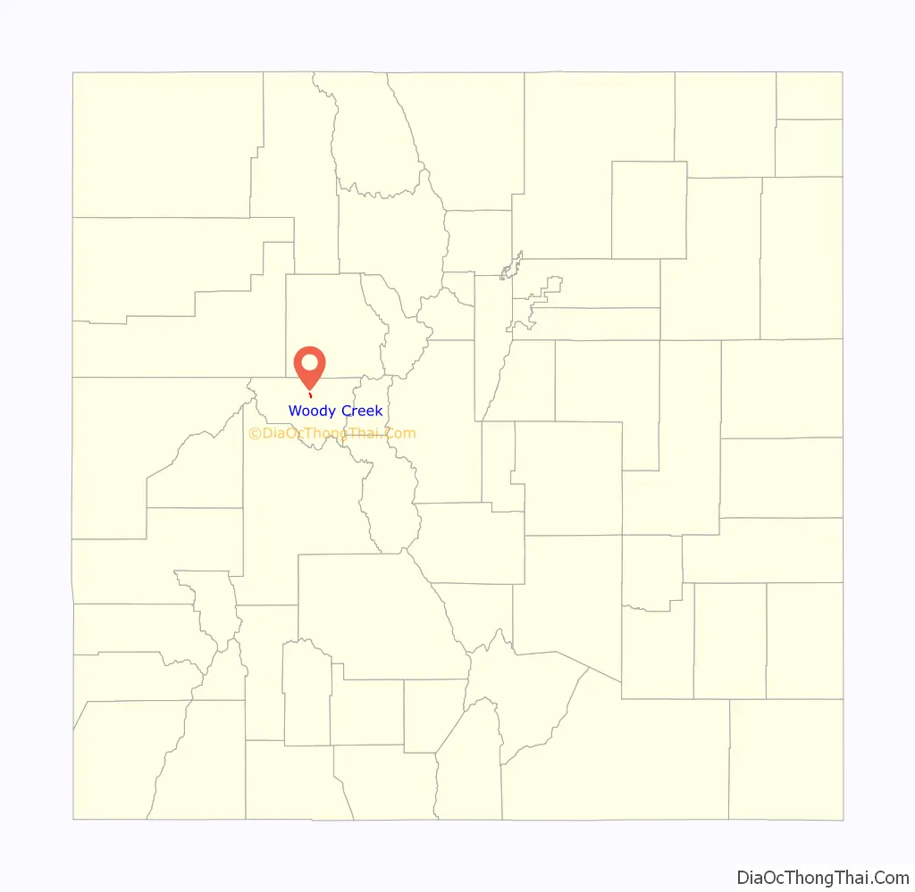
Woody Creek location map. Where is Woody Creek CDP?
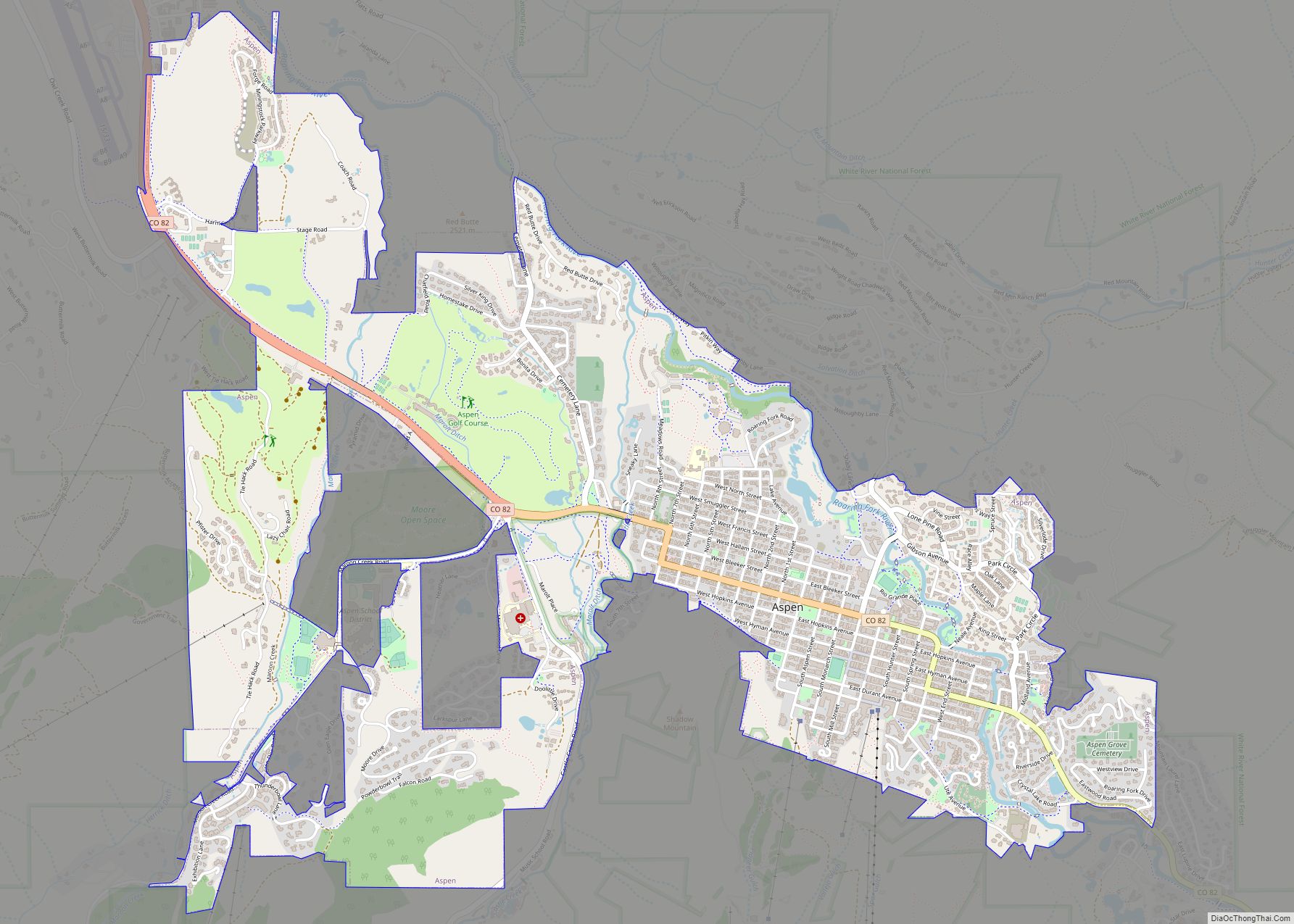
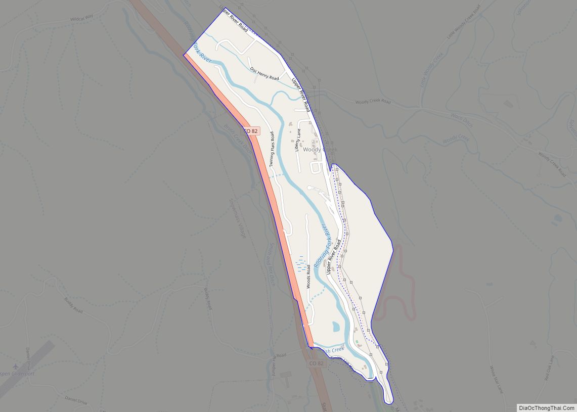
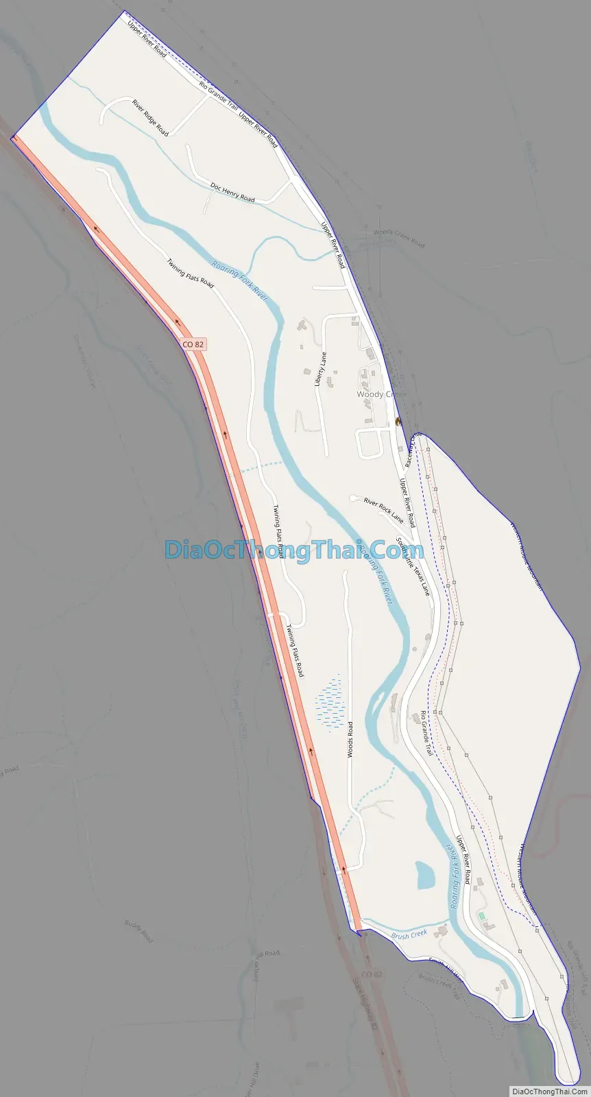
Woody Creek Road Map
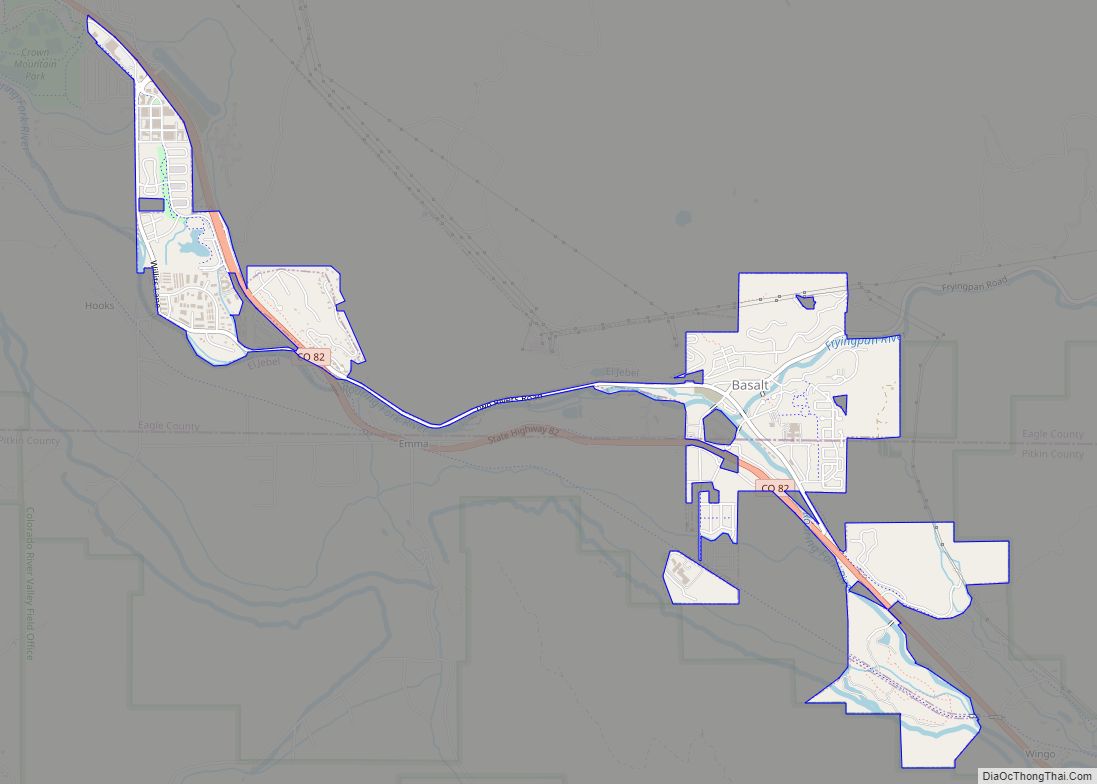
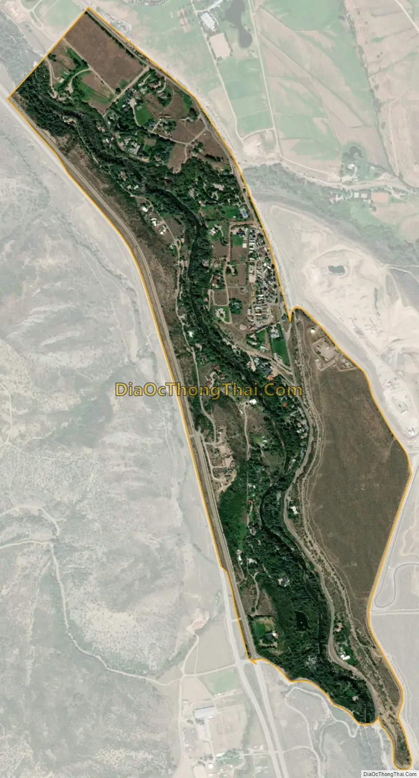
Woody Creek city Satellite Map
Geography
Woody Creek is situated in the valley of the Roaring Fork River northwest of Aspen, along State Highway 82, where Woody Creek exits a canyon and joins the Roaring Fork. It is situated at the northwest (and least developed) end of a small valley that stretches southeast along the Roaring Fork to Aspen.
The Woody Creek CDP has an area of 392 acres (1.587 km), all land.
See also
Map of Colorado State and its subdivision:- Adams
- Alamosa
- Arapahoe
- Archuleta
- Baca
- Bent
- Boulder
- Broomfield
- Chaffee
- Cheyenne
- Clear Creek
- Conejos
- Costilla
- Crowley
- Custer
- Delta
- Denver
- Dolores
- Douglas
- Eagle
- El Paso
- Elbert
- Fremont
- Garfield
- Gilpin
- Grand
- Gunnison
- Hinsdale
- Huerfano
- Jackson
- Jefferson
- Kiowa
- Kit Carson
- La Plata
- Lake
- Larimer
- Las Animas
- Lincoln
- Logan
- Mesa
- Mineral
- Moffat
- Montezuma
- Montrose
- Morgan
- Otero
- Ouray
- Park
- Phillips
- Pitkin
- Prowers
- Pueblo
- Rio Blanco
- Rio Grande
- Routt
- Saguache
- San Juan
- San Miguel
- Sedgwick
- Summit
- Teller
- Washington
- Weld
- Yuma
- Alabama
- Alaska
- Arizona
- Arkansas
- California
- Colorado
- Connecticut
- Delaware
- District of Columbia
- Florida
- Georgia
- Hawaii
- Idaho
- Illinois
- Indiana
- Iowa
- Kansas
- Kentucky
- Louisiana
- Maine
- Maryland
- Massachusetts
- Michigan
- Minnesota
- Mississippi
- Missouri
- Montana
- Nebraska
- Nevada
- New Hampshire
- New Jersey
- New Mexico
- New York
- North Carolina
- North Dakota
- Ohio
- Oklahoma
- Oregon
- Pennsylvania
- Rhode Island
- South Carolina
- South Dakota
- Tennessee
- Texas
- Utah
- Vermont
- Virginia
- Washington
- West Virginia
- Wisconsin
- Wyoming