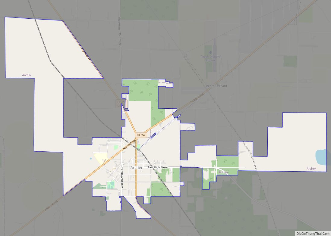
Archer is a city in Alachua County, Florida, United States. As of the 2010 census, the city had a population of 1,118.
The city is named after James T. Archer, the first Secretary of State of Florida.
| Name: | Archer city |
|---|---|
| LSAD Code: | 25 |
| LSAD Description: | city (suffix) |
| State: | Florida |
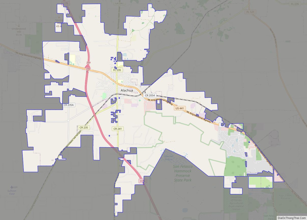
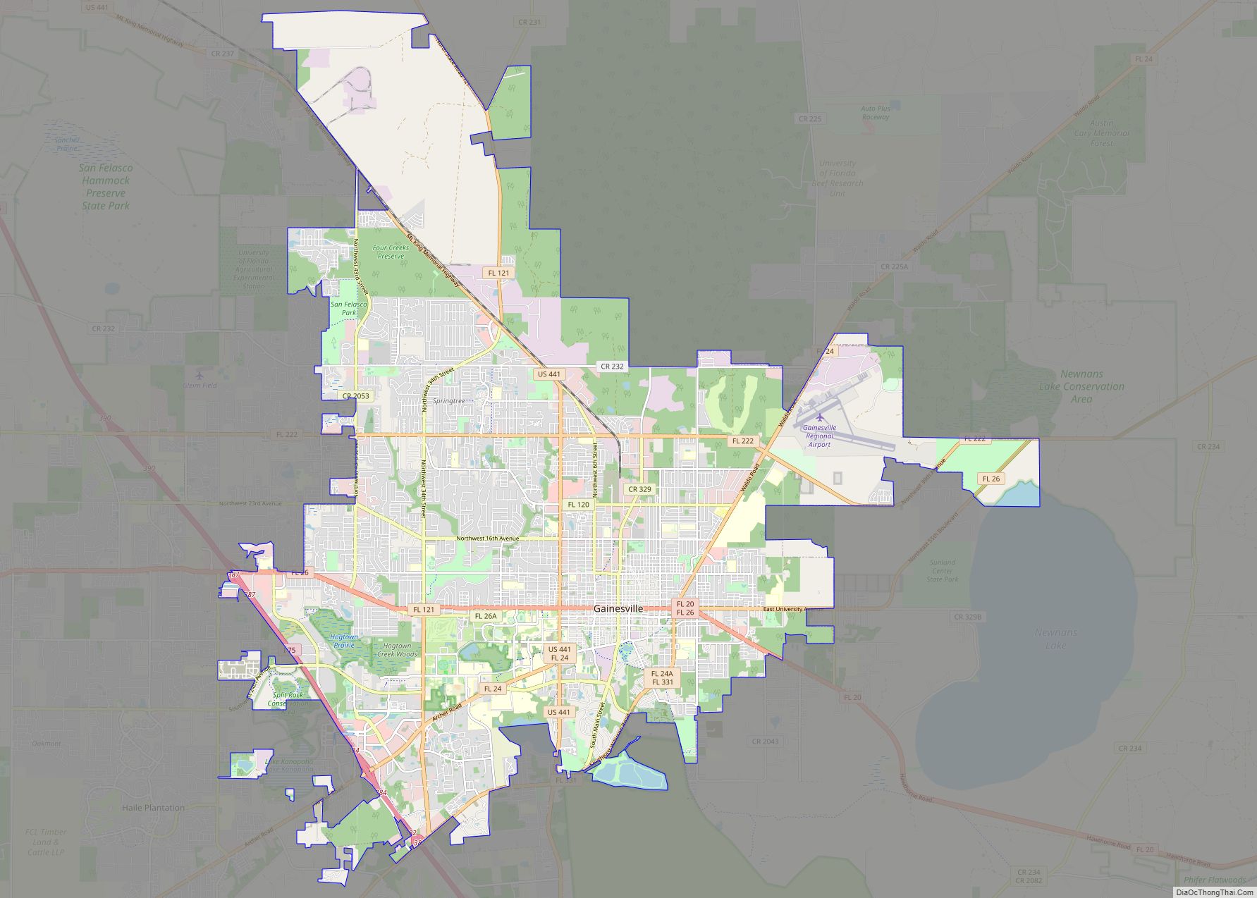
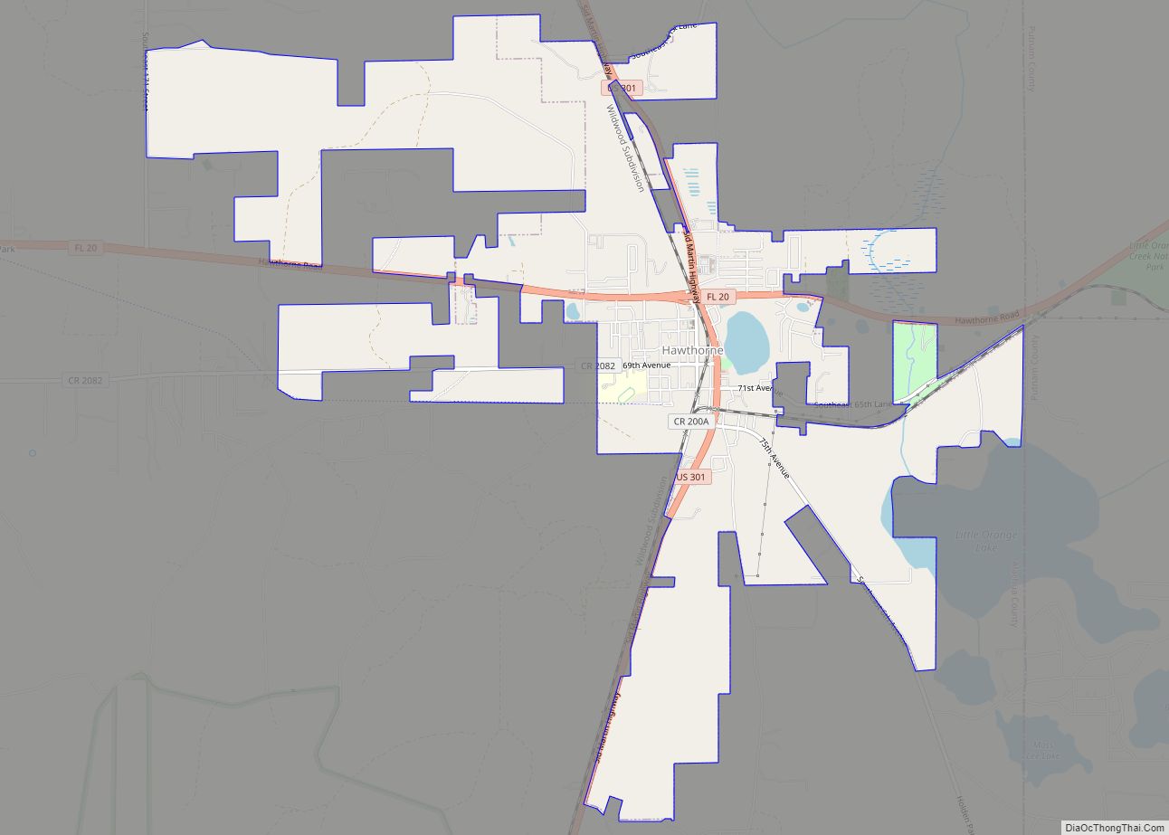
| County: | Alachua County |
| Elevation: | 92 ft (28 m) |
| Total Area: | 9.10 sq mi (23.57 km²) |
| Land Area: | 9.03 sq mi (23.40 km²) |
| Water Area: | 0.07 sq mi (0.17 km²) |
| Total Population: | 1,140 |
| Population Density: | 126.19/sq mi (48.72/km²) |
| ZIP code: | 32618 |
| Area code: | 352 |
| FIPS code: | 1201775 |
| GNISfeature ID: | 0277937 |
| Website: | www.cityofarcher.com |
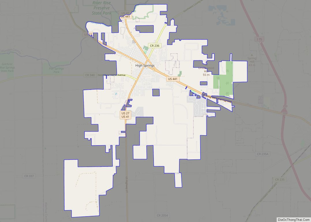
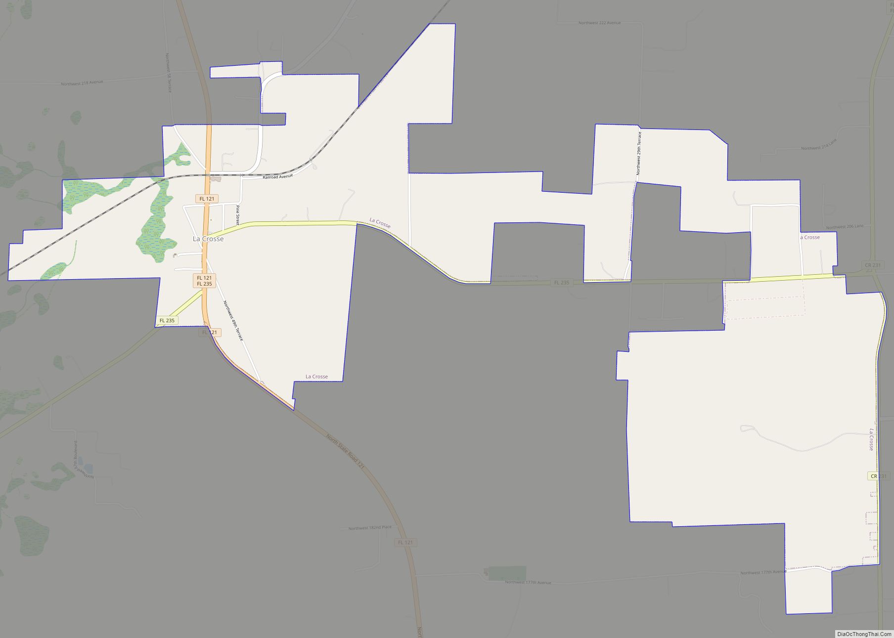
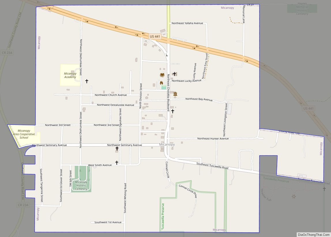
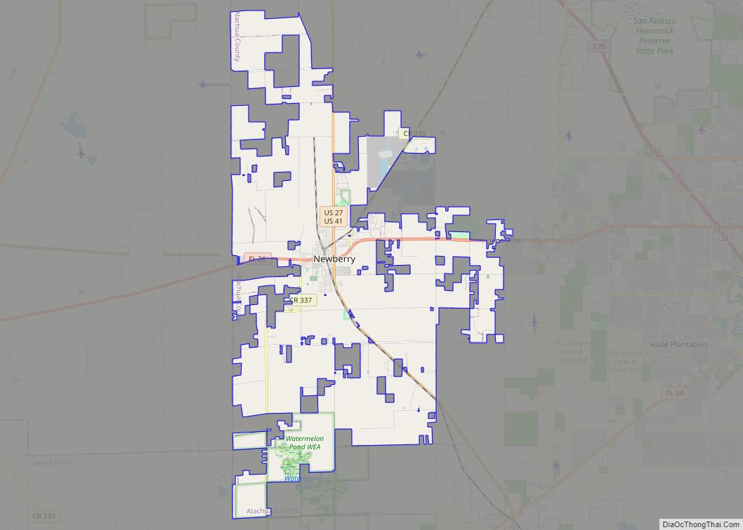
Online Interactive Map
Click on ![]() to view map in "full screen" mode.
to view map in "full screen" mode.
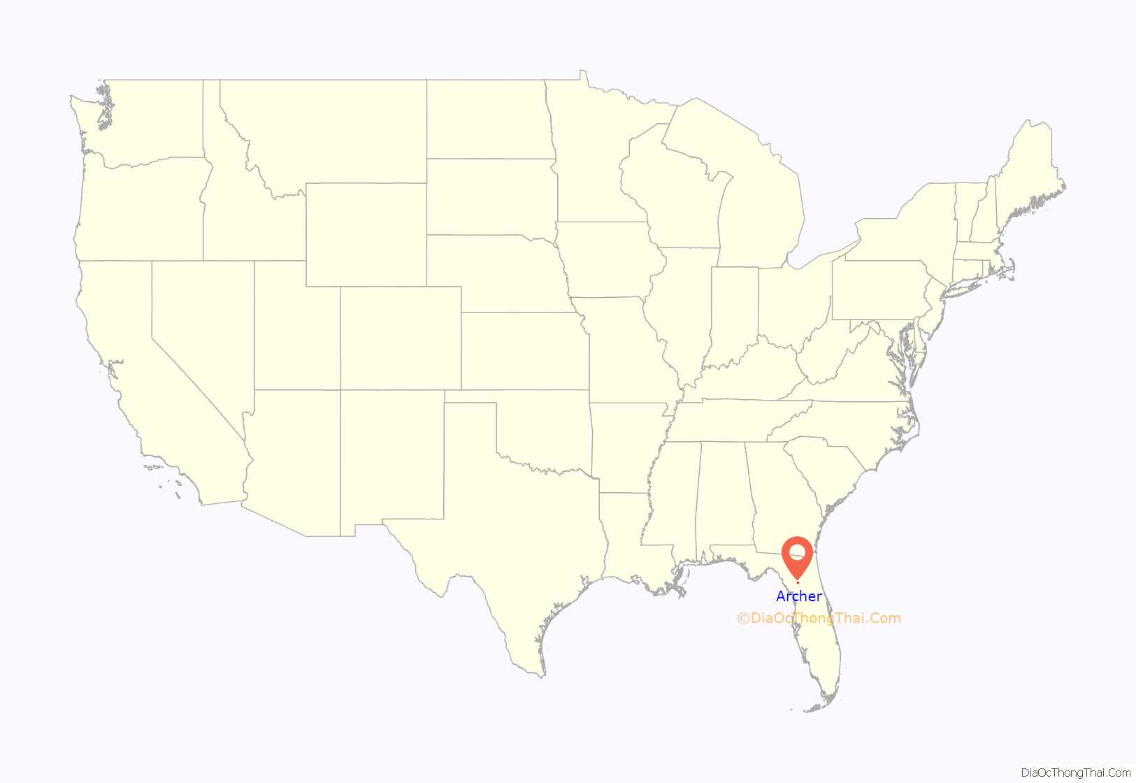
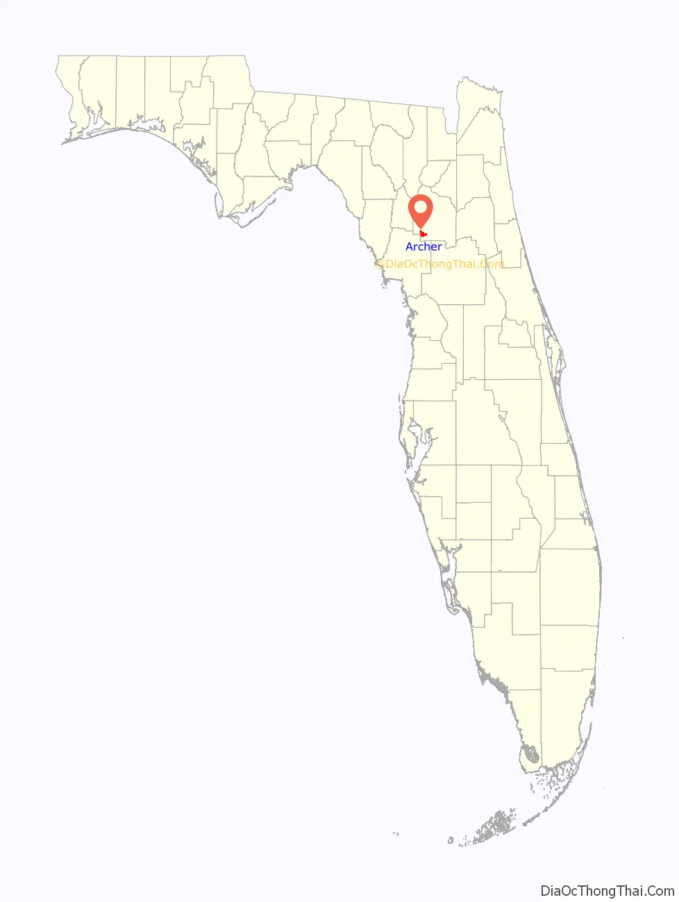
Archer location map. Where is Archer city?
History
Archer started in the 1840s as a frontier village named Deer Hammock or Darden’s Hammock. The Florida Railroad reached the village in 1858 which shifted the site of the town eastward. At this point the city was renamed Archer, after James T. Archer, Florida’s first Secretary of State. The first trains stopped in Archer in 1859.
Archer Road Map
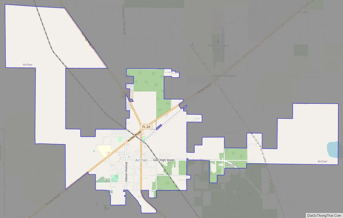
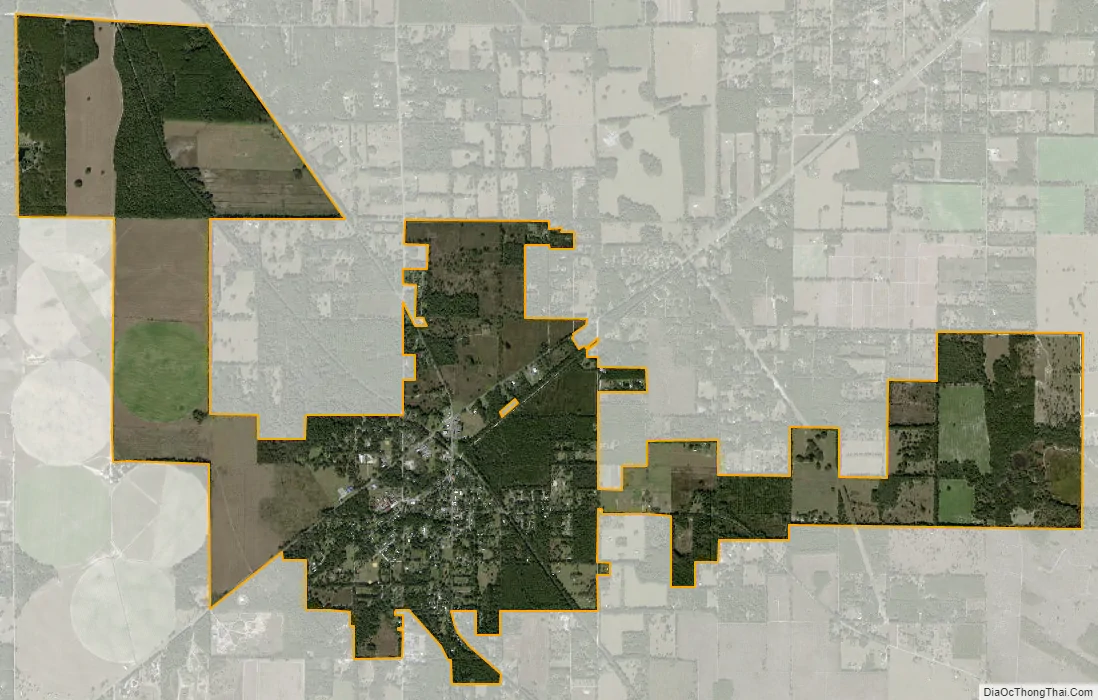
Archer city Satellite Map
Geography
Archer is located at 29°31′53″N 82°31′11″W / 29.531527°N 82.519633°W / 29.531527; -82.519633. According to the United States Census Bureau, the city has a total area of 6.9 square miles (18.0 km), of which 6.9 square miles (17.8 km) is land and 0.039 square miles (0.1 km), or 0.60%, is water.
See also
Map of Florida State and its subdivision:- Alachua
- Baker
- Bay
- Bradford
- Brevard
- Broward
- Calhoun
- Charlotte
- Citrus
- Clay
- Collier
- Columbia
- Desoto
- Dixie
- Duval
- Escambia
- Flagler
- Franklin
- Gadsden
- Gilchrist
- Glades
- Gulf
- Hamilton
- Hardee
- Hendry
- Hernando
- Highlands
- Hillsborough
- Holmes
- Indian River
- Jackson
- Jefferson
- Lafayette
- Lake
- Lee
- Leon
- Levy
- Liberty
- Madison
- Manatee
- Marion
- Martin
- Miami-Dade
- Monroe
- Nassau
- Okaloosa
- Okeechobee
- Orange
- Osceola
- Palm Beach
- Pasco
- Pinellas
- Polk
- Putnam
- Saint Johns
- Saint Lucie
- Santa Rosa
- Sarasota
- Seminole
- Sumter
- Suwannee
- Taylor
- Union
- Volusia
- Wakulla
- Walton
- Washington
- Alabama
- Alaska
- Arizona
- Arkansas
- California
- Colorado
- Connecticut
- Delaware
- District of Columbia
- Florida
- Georgia
- Hawaii
- Idaho
- Illinois
- Indiana
- Iowa
- Kansas
- Kentucky
- Louisiana
- Maine
- Maryland
- Massachusetts
- Michigan
- Minnesota
- Mississippi
- Missouri
- Montana
- Nebraska
- Nevada
- New Hampshire
- New Jersey
- New Mexico
- New York
- North Carolina
- North Dakota
- Ohio
- Oklahoma
- Oregon
- Pennsylvania
- Rhode Island
- South Carolina
- South Dakota
- Tennessee
- Texas
- Utah
- Vermont
- Virginia
- Washington
- West Virginia
- Wisconsin
- Wyoming