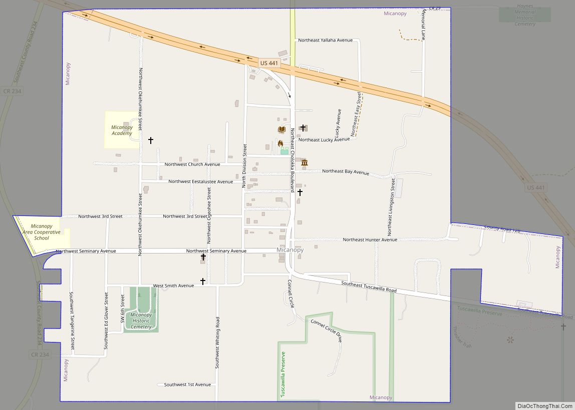
Micanopy (/ˌmɪkəˈnoʊpi/ (listen) MIK-ə-NOH-pee) is a town in Alachua County, Florida, United States, located south of Gainesville. The population as of the 2010 census was 600. The oldest community in the interior of Florida that has been continually inhabited, it has a downtown that is designated as the Micanopy Historic District and listed on the National Register of Historic Places. It contains a number of antique stores, as well as several restaurants, a library, firehouse, and post office. The town’s unofficial slogan is “The Town that Time Forgot.”
| Name: | Micanopy town |
|---|---|
| LSAD Code: | 43 |
| LSAD Description: | town (suffix) |
| State: | Florida |
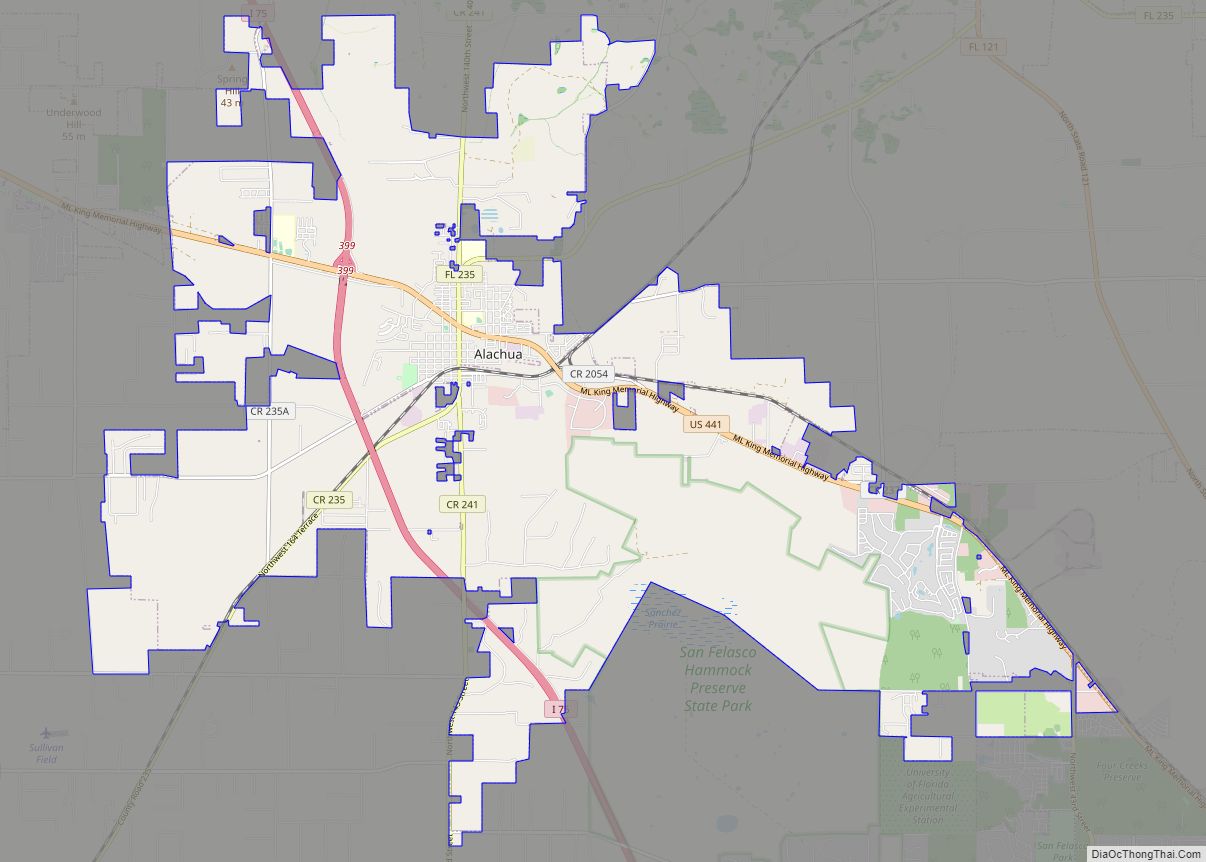
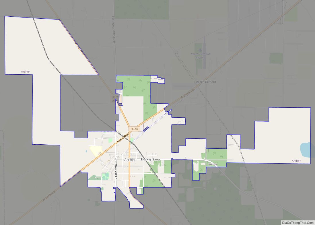
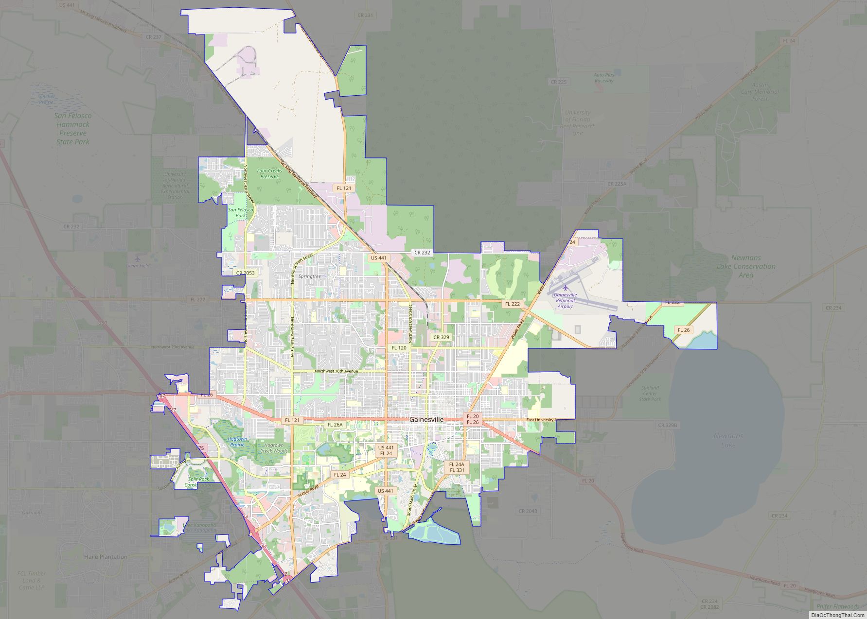
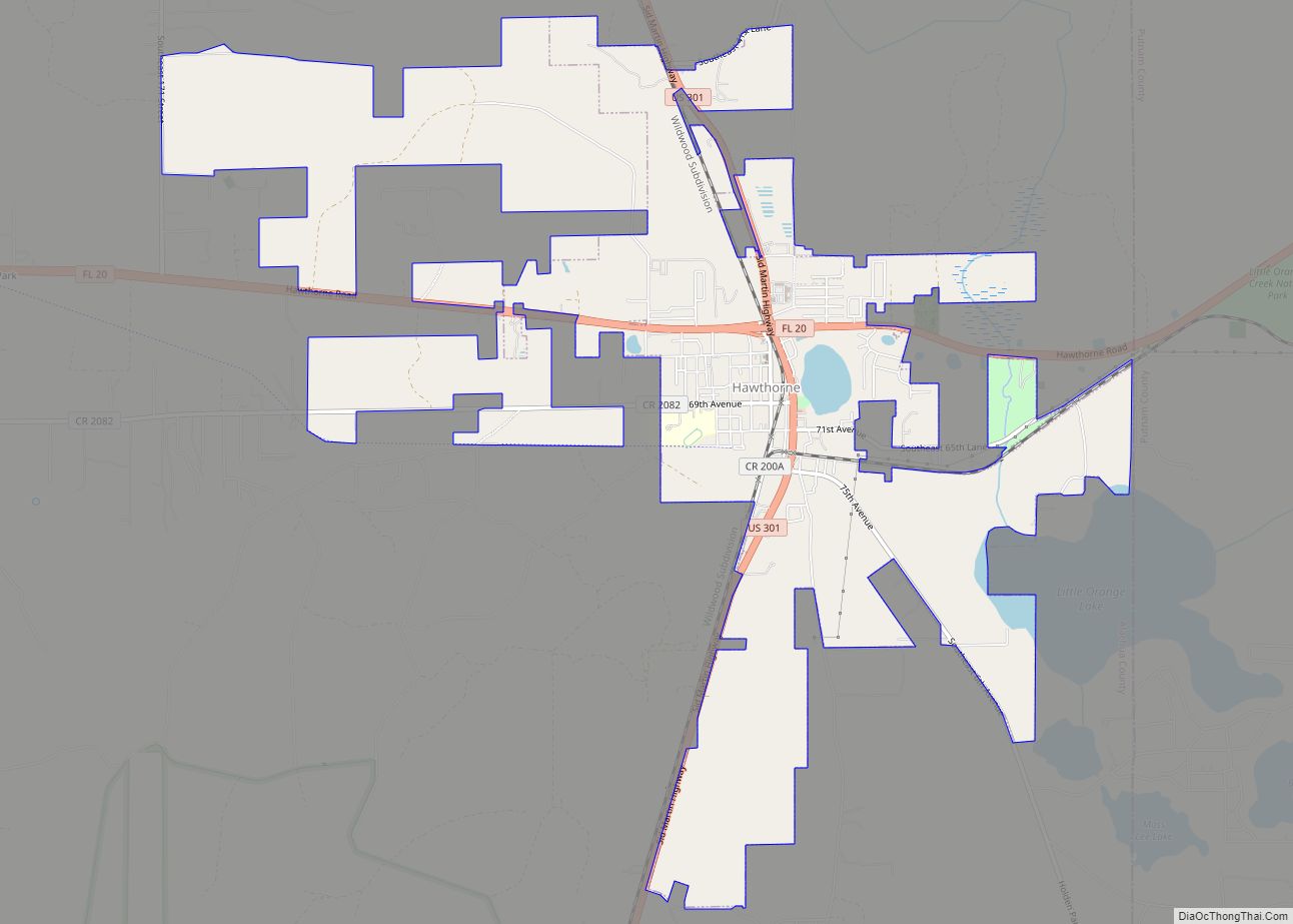
| County: | Alachua County |
| Elevation: | 125 ft (38 m) |
| Total Area: | 1.08 sq mi (2.80 km²) |
| Land Area: | 1.04 sq mi (2.68 km²) |
| Water Area: | 0.05 sq mi (0.12 km²) |
| Total Population: | 648 |
| Population Density: | 624.88/sq mi (241.36/km²) |
| ZIP code: | 32667 |
| Area code: | 352 |
| FIPS code: | 1245225 |
| GNISfeature ID: | 0286767 |
| Website: | www.micanopytown.com |
Online Interactive Map
Click on ![]() to view map in "full screen" mode.
to view map in "full screen" mode.
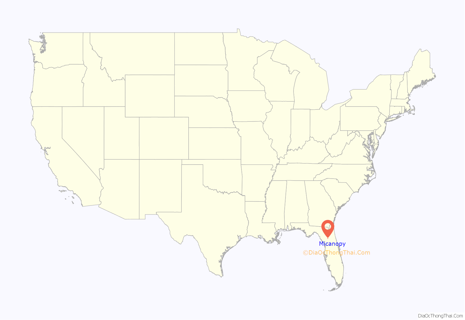
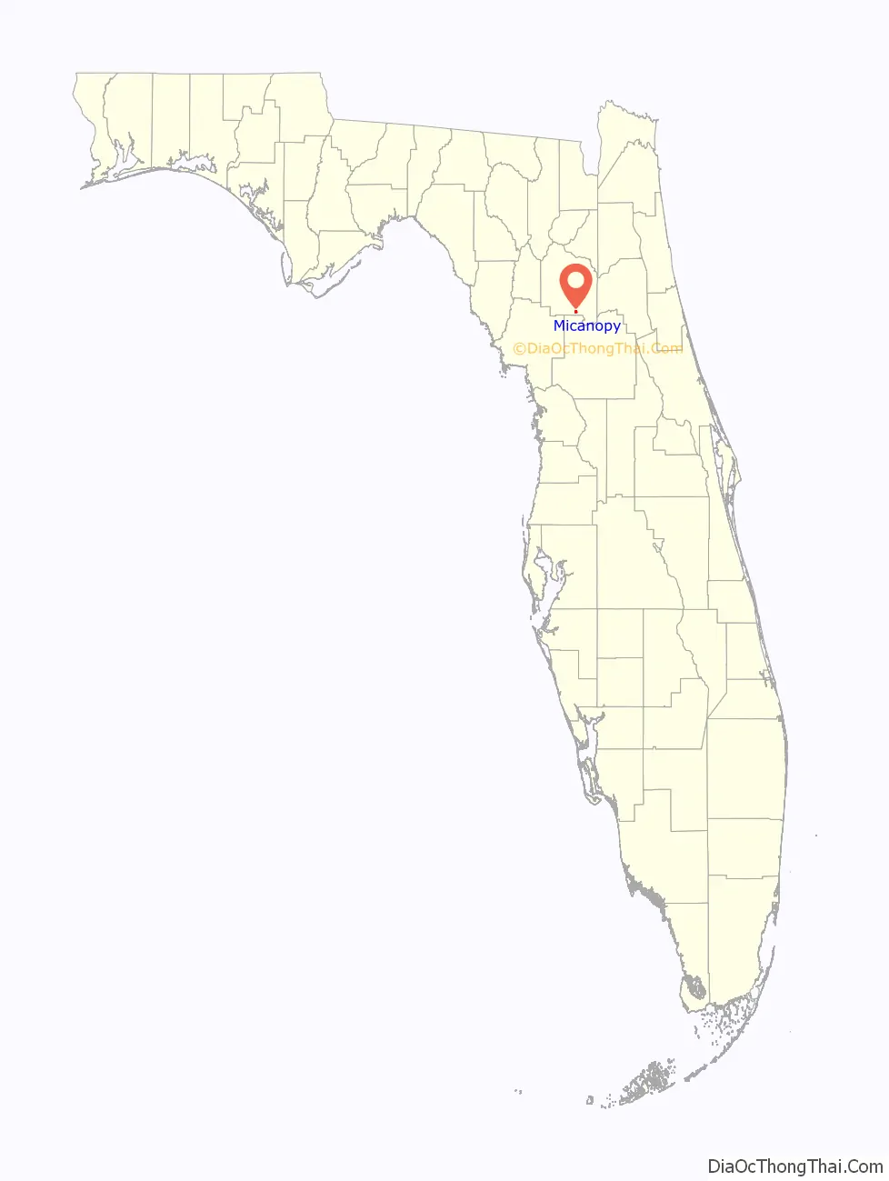
Micanopy location map. Where is Micanopy town?
History
In 1774 the American naturalist William Bartram recorded his impressions of a proto-Seminole village named Cuscowilla — along with its chief, Cowkeeper or Ahaya — located in the same vicinity as the modern town.
By the time Spain ceded its Florida provinces to the U.S. in 1821, the newly constructed hamlet of Micanopy became the first distinct United States town in the Florida Territory. One of the founders was Moses Elias Levy, a wealthy Jewish businessman and philanthropist who was involved in West Indies shipping and other interests. He immigrated to the United States in 1820 and founded “Pilgrimage”, the first Jewish communal settlement in the United States located two miles from town.
The village of Micanopy was built under the auspices of the Florida Association of New York (the earliest Florida development corporation, headquartered in Manhattan). Chief Micanopy lived about 60 miles (97 km) south in present-day Sumter County. In 1821, when the territorial village was developed, a faction of Miccosukee Indians lived in the immediate area. The historian C. S. Monaco has suggested that the town was named after Micanopy “to appease the chief and acknowledge his original authority over the land.” In the early days, the frontier village was sometimes referred to as “Wantons,” after one of the original settlers.
Both Fort Defiance (1835–1836) and Fort Micanopy (1837–1843) were located here during the Second Seminole War. Some of the bloodiest battles of that war took place along the road southwest from Fort Micanopy to Fort Wacahoota, just inside modern Alachua County. A recent archaeological study has verified both forts as well as the location of two battlefields within the town limits: the Battle of Micanopy and the Battle of Welika Pond (1836).
Prior to the 1880s, produce from Micanopy, including citrus, was carried to the southern shore of Lake Alachua and taken by boat to the northern shore, which was served by branch lines from the Transit Railroad. In 1883, the Florida Southern Railway built a branch line to Micanopy from its line running from Rochelle (southeast of Gainesville) to Ocala. In 1895, a rail line was laid from Micanopy by the Gainesville and Gulf Railroad, and by 1889 reached to Irvine and Fairfield in Marion County, and Sampson City in Bradford County, where it connected to the Atlantic, Suwannee River and Gulf Railway and the Georgia Southern and Florida Railroad. The railroads spurred farming in the surrounding area. It had a population of over 600 in 1880. In the 1920s, cars crossed Paynes Prairie on the Micanopy Causeway.
Describing driving route from High Springs to Orlando in 1947, the fifth printing of the Florida guide, published by the Federal Writers’ Project, describes Micanopy as “a village of old brick and frame buildings … surrounded by large oaks, lofty cabbage palms, and pecan groves. The first citrus trees of the route appear here, and the landscape assumes a more tropical aspect.”
Micanopy’s downtown was listed on the National Register of Historic Places in 1983. The home of Marjorie Kinnan Rawlings, where she wrote The Yearling and Cross Creek, is in nearby Cross Creek. The house is operated as a museum.
Micanopy Road Map
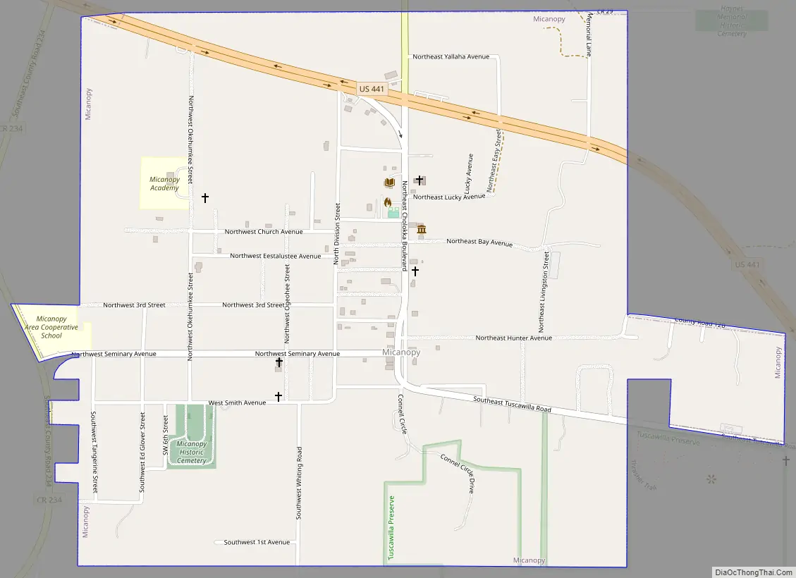
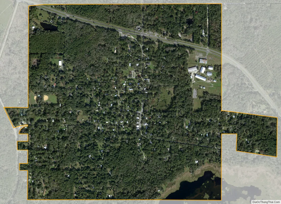
Micanopy city Satellite Map
See also
Map of Florida State and its subdivision:- Alachua
- Baker
- Bay
- Bradford
- Brevard
- Broward
- Calhoun
- Charlotte
- Citrus
- Clay
- Collier
- Columbia
- Desoto
- Dixie
- Duval
- Escambia
- Flagler
- Franklin
- Gadsden
- Gilchrist
- Glades
- Gulf
- Hamilton
- Hardee
- Hendry
- Hernando
- Highlands
- Hillsborough
- Holmes
- Indian River
- Jackson
- Jefferson
- Lafayette
- Lake
- Lee
- Leon
- Levy
- Liberty
- Madison
- Manatee
- Marion
- Martin
- Miami-Dade
- Monroe
- Nassau
- Okaloosa
- Okeechobee
- Orange
- Osceola
- Palm Beach
- Pasco
- Pinellas
- Polk
- Putnam
- Saint Johns
- Saint Lucie
- Santa Rosa
- Sarasota
- Seminole
- Sumter
- Suwannee
- Taylor
- Union
- Volusia
- Wakulla
- Walton
- Washington
- Alabama
- Alaska
- Arizona
- Arkansas
- California
- Colorado
- Connecticut
- Delaware
- District of Columbia
- Florida
- Georgia
- Hawaii
- Idaho
- Illinois
- Indiana
- Iowa
- Kansas
- Kentucky
- Louisiana
- Maine
- Maryland
- Massachusetts
- Michigan
- Minnesota
- Mississippi
- Missouri
- Montana
- Nebraska
- Nevada
- New Hampshire
- New Jersey
- New Mexico
- New York
- North Carolina
- North Dakota
- Ohio
- Oklahoma
- Oregon
- Pennsylvania
- Rhode Island
- South Carolina
- South Dakota
- Tennessee
- Texas
- Utah
- Vermont
- Virginia
- Washington
- West Virginia
- Wisconsin
- Wyoming