Clewiston is a city in Hendry County, Florida, United States. Its location is 80 miles (130 km) northwest of Fort Lauderdale on the Atlantic coastal plain. The population was 7,327 at the 2020 census, up from 7,155 at the 2010 census. The estimated population in 2018 was 7,985. The city is located on the south bank of Lake Okeechobee, and the Lake Okeechobee Scenic Trail (LOST) passes through the edge of the city. The city is home to Billie Swamp Safari, the Clewiston Museum and the Dixie Crystal Theatre. The area has been home to Seminole tribe members and sugar plantations, with the Ah-Tah-Thi-Ki Seminole Indian Museum located 32 miles (51 km) south of the city.
| Name: | Clewiston city |
|---|---|
| LSAD Code: | 25 |
| LSAD Description: | city (suffix) |
| State: | Florida |
| County: | Hendry County |
| Incorporated: | 1925 |
| Elevation: | 16 ft (5 m) |
| Total Area: | 4.51 sq mi (11.68 km²) |
| Land Area: | 4.50 sq mi (11.66 km²) |
| Water Area: | 0.01 sq mi (0.03 km²) |
| Total Population: | 7,327 |
| Population Density: | 1,627.86/sq mi (628.54/km²) |
| ZIP code: | 33440 |
| Area code: | 863 |
| FIPS code: | 1213000 |
| GNISfeature ID: | 0280572 |
| Website: | www.clewiston-fl.gov |
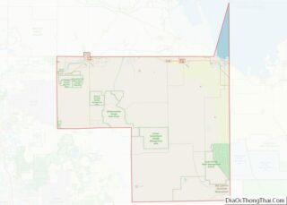
Online Interactive Map
Click on ![]() to view map in "full screen" mode.
to view map in "full screen" mode.
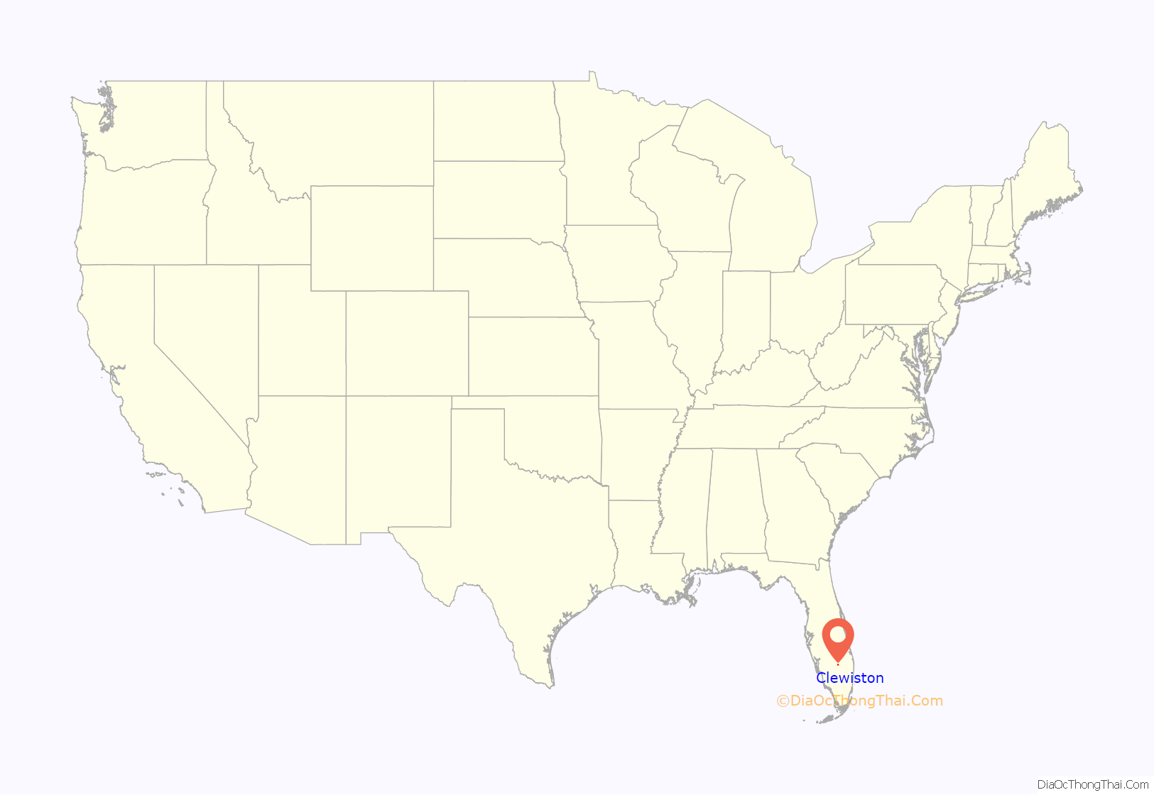
Clewiston location map. Where is Clewiston city?
History
The area beside Lake Okeechobee was once used as a fishing camp by the Seminole tribe. The first permanent settlement began in 1920, when John O’Brien of Philadelphia and Alonzo Clewis of Tampa purchased a large tract of land to establish a town. They commissioned a town plan and built the Moore Haven & Clewiston Railway to connect the community to the Atlantic Coast Line Railroad at Moore Haven. Incorporated as a city in 1925, Clewiston would become noted for its sport fishing, particularly of largemouth bass.
Large sugar plantations were established around Lake Okeechobee. By the 1950s and 1960s, the cultivation of citrus, vegetables and cattle were also important to the economy. The US Sugar Corporation, however, remained the dominant manufacturer in Clewiston, which became known as “America’s Sweetest Town”. On June 24, 2008, Governor Charlie Crist announced that the state of Florida had arranged to buy for $1.75 billion the company’s 187,000 acres (76,000 ha), including the refinery in Clewiston. On November 11, the plan was scaled back to $1.34 billion for 181,000 acres (73,000 ha) of farmland, no longer including the mill, citrus processing facilities and other assets. This would allow the company to remain in business and leave open the possibility of preserving its 1,700 jobs. Over the next seven crop cycles, the farmland would be leased back from the state to US Sugar for $60 million. It would then be converted into reservoirs and water-filtering areas as part of the ongoing restoration of the Everglades ecosystem.
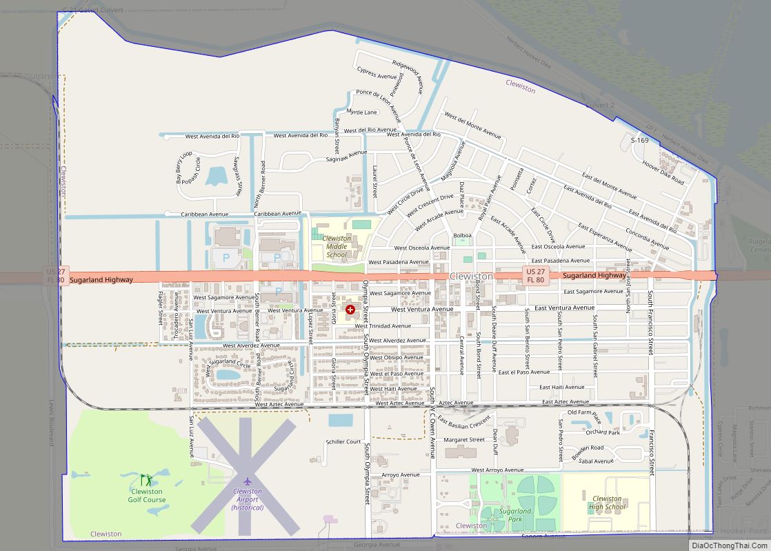
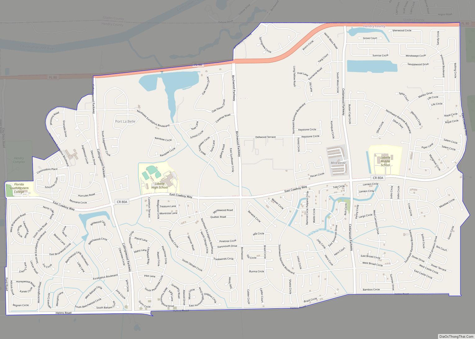
Clewiston Road Map
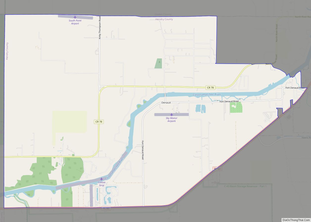
Clewiston city Satellite Map
Geography
Clewiston is located in the northeast corner of Hendry County at 26°45′12″N 80°56′01″W / 26.753399°N 80.933600°W / 26.753399; -80.933600, on the southwestern shore of Lake Okeechobee. It is part of the Florida Heartland region.
U.S. Route 27 passes through the center of Clewiston, leading west then north 15 miles (24 km) to Moore Haven, and southeast 16 miles (26 km) to South Bay. Florida State Road 80 runs with US 27 through Clewiston but leads west 31 miles (50 km) to LaBelle, the Hendry County seat.
According to the U.S. Census Bureau, Clewiston has a total area of 4.7 square miles (12.2 km), of which 0.027 square miles (0.07 km), or 0.54%, are water.
Climate
Clewiston has a tropical savanna climate (Köppen: Aw).
See also
Map of Florida State and its subdivision:- Alachua
- Baker
- Bay
- Bradford
- Brevard
- Broward
- Calhoun
- Charlotte
- Citrus
- Clay
- Collier
- Columbia
- Desoto
- Dixie
- Duval
- Escambia
- Flagler
- Franklin
- Gadsden
- Gilchrist
- Glades
- Gulf
- Hamilton
- Hardee
- Hendry
- Hernando
- Highlands
- Hillsborough
- Holmes
- Indian River
- Jackson
- Jefferson
- Lafayette
- Lake
- Lee
- Leon
- Levy
- Liberty
- Madison
- Manatee
- Marion
- Martin
- Miami-Dade
- Monroe
- Nassau
- Okaloosa
- Okeechobee
- Orange
- Osceola
- Palm Beach
- Pasco
- Pinellas
- Polk
- Putnam
- Saint Johns
- Saint Lucie
- Santa Rosa
- Sarasota
- Seminole
- Sumter
- Suwannee
- Taylor
- Union
- Volusia
- Wakulla
- Walton
- Washington
- Alabama
- Alaska
- Arizona
- Arkansas
- California
- Colorado
- Connecticut
- Delaware
- District of Columbia
- Florida
- Georgia
- Hawaii
- Idaho
- Illinois
- Indiana
- Iowa
- Kansas
- Kentucky
- Louisiana
- Maine
- Maryland
- Massachusetts
- Michigan
- Minnesota
- Mississippi
- Missouri
- Montana
- Nebraska
- Nevada
- New Hampshire
- New Jersey
- New Mexico
- New York
- North Carolina
- North Dakota
- Ohio
- Oklahoma
- Oregon
- Pennsylvania
- Rhode Island
- South Carolina
- South Dakota
- Tennessee
- Texas
- Utah
- Vermont
- Virginia
- Washington
- West Virginia
- Wisconsin
- Wyoming
