Davie is a town in Broward County, Florida, United States, approximately 24 miles (39 km) north of Miami. The town’s population was 110,320 at the 2020 census, making it the largest town of Florida by population in this census. Davie is a principal town of the Miami metropolitan area, which was home to an estimated 6,198,782. Horseback riding is common, as much of its historic buildings include ranches and other Western establishments.
| Name: | Davie town |
|---|---|
| LSAD Code: | 43 |
| LSAD Description: | town (suffix) |
| State: | Florida |
| County: | Broward County |
| Elevation: | 9 ft (3 m) |
| Land Area: | 34.89 sq mi (90.38 km²) |
| Water Area: | 0.87 sq mi (2.26 km²) 2.32% |
| Population Density: | 3,028.92/sq mi (1,169.46/km²) |
| Area code: | 754, 954 |
| FIPS code: | 1216475 |
| GNISfeature ID: | 0281316 |
| Website: | www.davie-fl.gov |
Online Interactive Map
Click on ![]() to view map in "full screen" mode.
to view map in "full screen" mode.
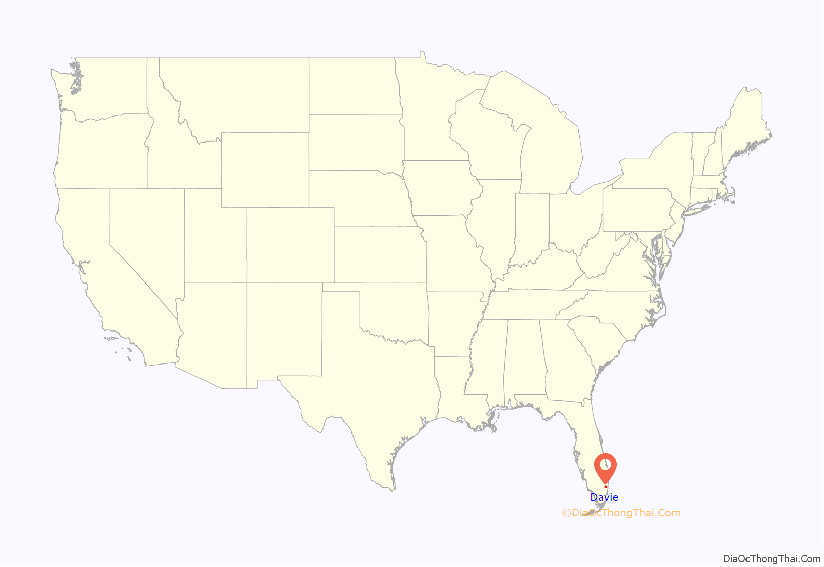
Davie location map. Where is Davie town?
History
Prior to European colonization, the Tequesta were the native people of what is now Davie. A few campsites and graves have been found in Davie, the oldest dating back 5,000 to 7,000 years in Pine Island Ridge. After Spanish colonization, many of the Tequesta died and the remaining few either escaped to Havana with the Spanish when Florida became a British colony, or they assimilated into the newly arrived Seminoles in the late 18th century.
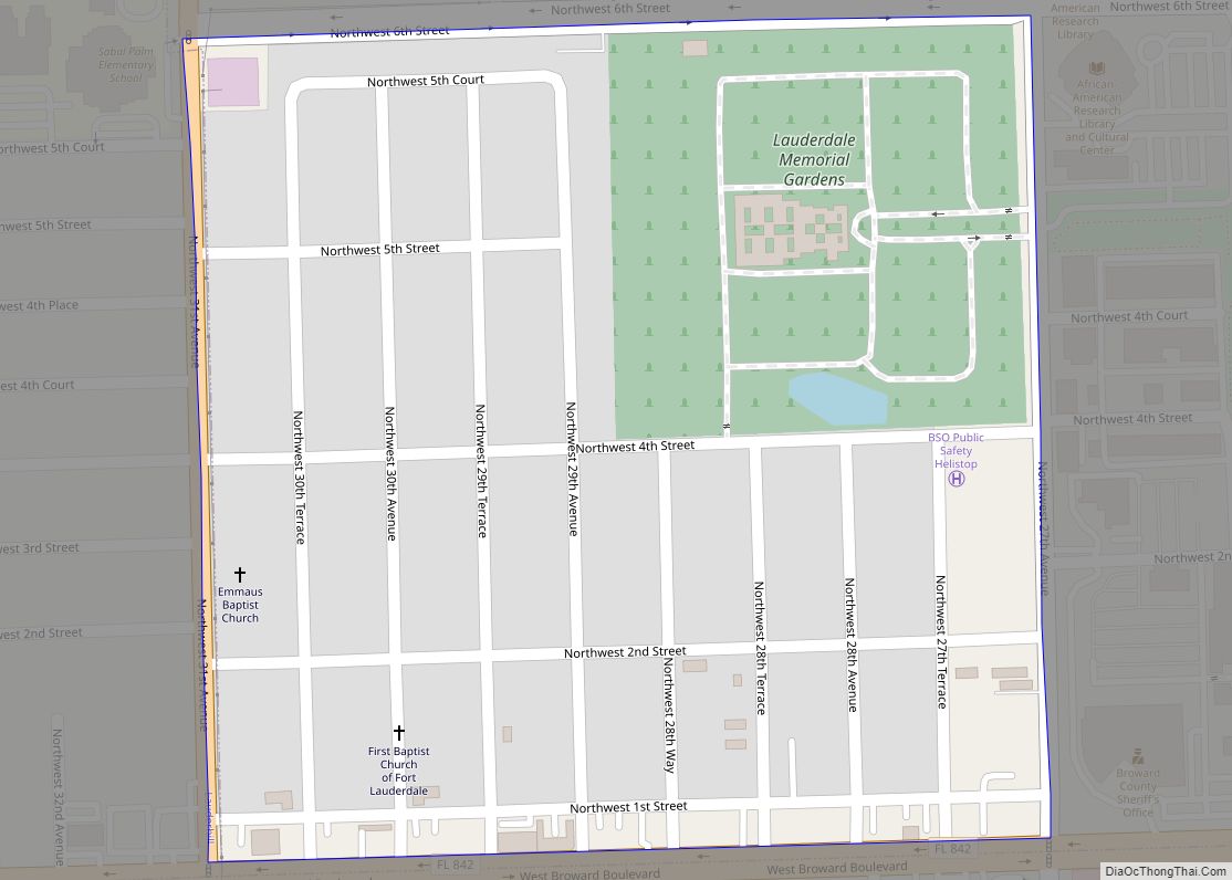
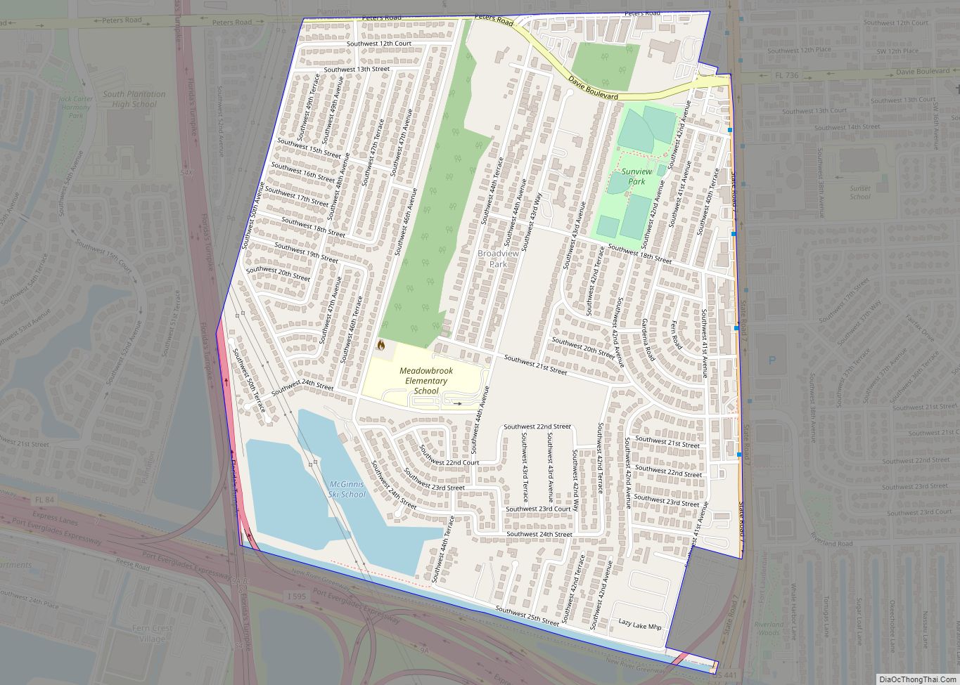
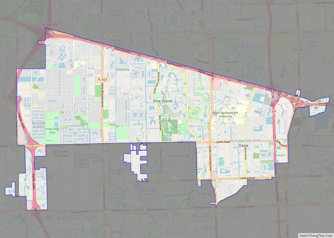
Davie Road Map
Davie city Satellite Map
Geography
According to the United States Census Bureau, the town has a total area of 35.7 square miles (92.5 km), of which 34.9 square miles (90.4 km) is land and 0.85 square miles (2.2 km) (2.32%) is water.
See also
Map of Florida State and its subdivision:- Alachua
- Baker
- Bay
- Bradford
- Brevard
- Broward
- Calhoun
- Charlotte
- Citrus
- Clay
- Collier
- Columbia
- Desoto
- Dixie
- Duval
- Escambia
- Flagler
- Franklin
- Gadsden
- Gilchrist
- Glades
- Gulf
- Hamilton
- Hardee
- Hendry
- Hernando
- Highlands
- Hillsborough
- Holmes
- Indian River
- Jackson
- Jefferson
- Lafayette
- Lake
- Lee
- Leon
- Levy
- Liberty
- Madison
- Manatee
- Marion
- Martin
- Miami-Dade
- Monroe
- Nassau
- Okaloosa
- Okeechobee
- Orange
- Osceola
- Palm Beach
- Pasco
- Pinellas
- Polk
- Putnam
- Saint Johns
- Saint Lucie
- Santa Rosa
- Sarasota
- Seminole
- Sumter
- Suwannee
- Taylor
- Union
- Volusia
- Wakulla
- Walton
- Washington
- Alabama
- Alaska
- Arizona
- Arkansas
- California
- Colorado
- Connecticut
- Delaware
- District of Columbia
- Florida
- Georgia
- Hawaii
- Idaho
- Illinois
- Indiana
- Iowa
- Kansas
- Kentucky
- Louisiana
- Maine
- Maryland
- Massachusetts
- Michigan
- Minnesota
- Mississippi
- Missouri
- Montana
- Nebraska
- Nevada
- New Hampshire
- New Jersey
- New Mexico
- New York
- North Carolina
- North Dakota
- Ohio
- Oklahoma
- Oregon
- Pennsylvania
- Rhode Island
- South Carolina
- South Dakota
- Tennessee
- Texas
- Utah
- Vermont
- Virginia
- Washington
- West Virginia
- Wisconsin
- Wyoming
