Golden Glades is a census-designated place (CDP) in Miami-Dade County, Florida, United States. The population was 32,499 at the 2020 census.
It is the location for a Golden Glades Interchange which connects the Florida Turnpike, Interstate 95, US 441, State Road 9, and the Palmetto Expressway.
| Name: | Golden Glades CDP |
|---|---|
| LSAD Code: | 57 |
| LSAD Description: | CDP (suffix) |
| State: | Florida |
| County: | Miami-Dade County |
| Elevation: | 3 ft (1 m) |
| Total Area: | 5.02 sq mi (13.01 km²) |
| Land Area: | 4.83 sq mi (12.51 km²) |
| Water Area: | 0.19 sq mi (0.50 km²) |
| Total Population: | 32,499 |
| Population Density: | 6,725.8/sq mi (2,596.8/km²) |
| FIPS code: | 1226375 |
| GNISfeature ID: | 1867145 |
Online Interactive Map
Click on ![]() to view map in "full screen" mode.
to view map in "full screen" mode.
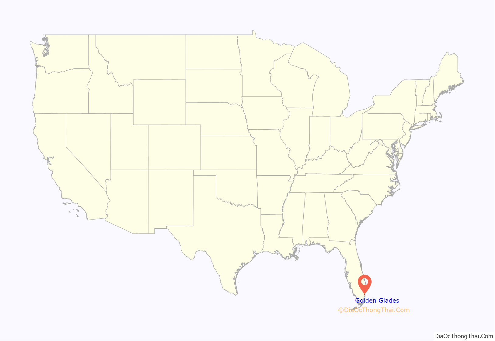
Golden Glades location map. Where is Golden Glades CDP?
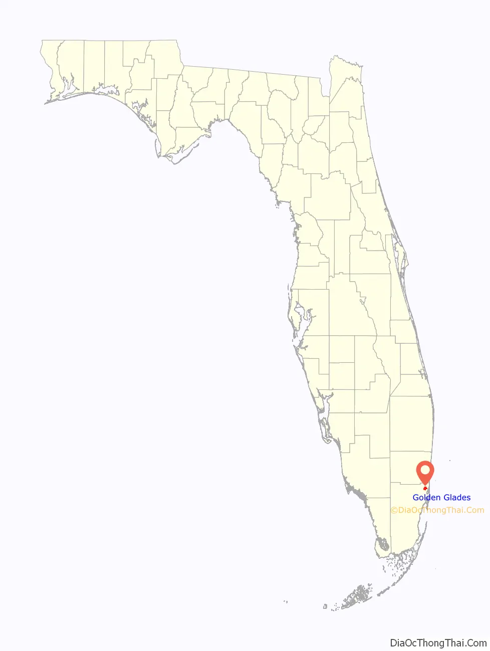
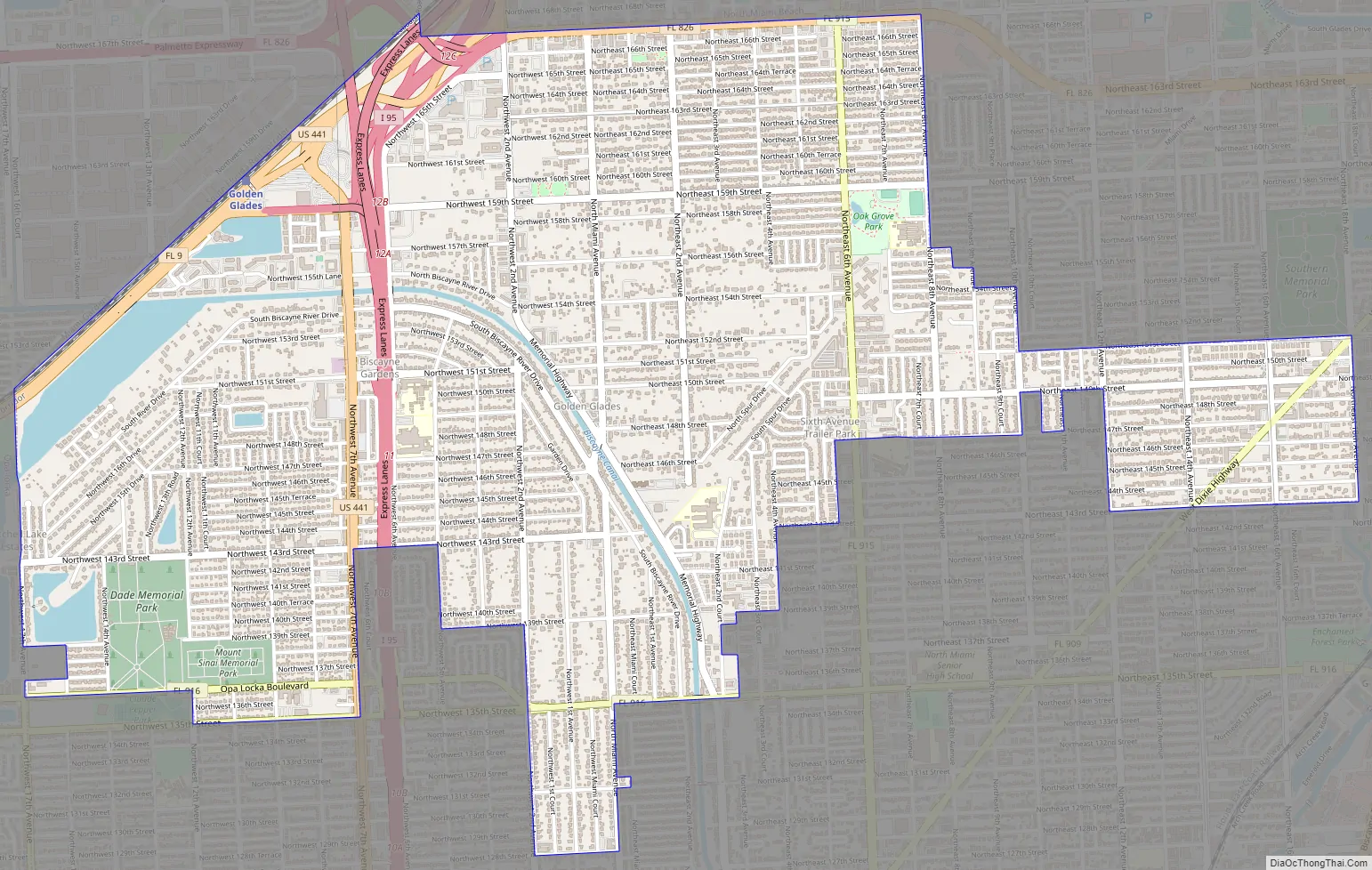
Golden Glades Road Map
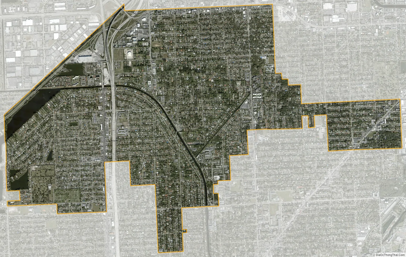
Golden Glades city Satellite Map
Geography
Golden Glades is located in northeastern Miami-Dade County at 25°54′46″N 80°11′52″W / 25.91278°N 80.19778°W / 25.91278; -80.19778 (25.912771, -80.197688). It is 11 miles (18 km) north of downtown Miami. The community is bordered by four cities: Miami Gardens to the northwest, North Miami Beach to the northeast, North Miami to the southeast and south, and Opa-locka to the west.
According to the United States Census Bureau, the CDP has a total area of 5.0 square miles (13 km). 4.8 square miles (12 km) of it are land and 0.2 square miles (0.5 km) (3.82%) are water.
The Golden Glades Interchange is on the northern side of the community. From it, Interstate 95 leads south 11 miles (18 km) to the center of Miami and north-northeast 15 miles (24 km) to Fort Lauderdale, Florida’s Turnpike leads north parallel to and inland from I-95, and the Palmetto Expressway leads west and south 23 miles (37 km) to U.S. Route 1 in Pinecrest. From the same interchange, State Road 9, a surface road, leads southwest 3 miles (5 km) to the center of Opa-locka, and U.S. 441 leads south parallel to I-95 as far as downtown Miami.
See also
Map of Florida State and its subdivision:- Alachua
- Baker
- Bay
- Bradford
- Brevard
- Broward
- Calhoun
- Charlotte
- Citrus
- Clay
- Collier
- Columbia
- Desoto
- Dixie
- Duval
- Escambia
- Flagler
- Franklin
- Gadsden
- Gilchrist
- Glades
- Gulf
- Hamilton
- Hardee
- Hendry
- Hernando
- Highlands
- Hillsborough
- Holmes
- Indian River
- Jackson
- Jefferson
- Lafayette
- Lake
- Lee
- Leon
- Levy
- Liberty
- Madison
- Manatee
- Marion
- Martin
- Miami-Dade
- Monroe
- Nassau
- Okaloosa
- Okeechobee
- Orange
- Osceola
- Palm Beach
- Pasco
- Pinellas
- Polk
- Putnam
- Saint Johns
- Saint Lucie
- Santa Rosa
- Sarasota
- Seminole
- Sumter
- Suwannee
- Taylor
- Union
- Volusia
- Wakulla
- Walton
- Washington
- Alabama
- Alaska
- Arizona
- Arkansas
- California
- Colorado
- Connecticut
- Delaware
- District of Columbia
- Florida
- Georgia
- Hawaii
- Idaho
- Illinois
- Indiana
- Iowa
- Kansas
- Kentucky
- Louisiana
- Maine
- Maryland
- Massachusetts
- Michigan
- Minnesota
- Mississippi
- Missouri
- Montana
- Nebraska
- Nevada
- New Hampshire
- New Jersey
- New Mexico
- New York
- North Carolina
- North Dakota
- Ohio
- Oklahoma
- Oregon
- Pennsylvania
- Rhode Island
- South Carolina
- South Dakota
- Tennessee
- Texas
- Utah
- Vermont
- Virginia
- Washington
- West Virginia
- Wisconsin
- Wyoming


