Hallandale Beach (formerly known simply as Hallandale) is a city in southern Broward County, Florida, United States. The city is named after Luther Halland, the son of a Swedish worker for Henry Flagler’s Florida East Coast Railroad. As of the 2010 census, the population was 37,113.
The city is known as the home of Gulfstream Park (horse racing and casino) and Mardi Gras Casino, a greyhound racing track which hosts the World Classic. It also has a sizable financial district, with offices for a number of banks and brokerage houses, plus many restaurants. Due to the large number of tourists who eventually retire in the city, Hallandale Beach has one of the fastest-growing populations in Broward County and in Metro Miami.
| Name: | Hallandale Beach city |
|---|---|
| LSAD Code: | 25 |
| LSAD Description: | city (suffix) |
| State: | Florida |
| County: | Broward County |
| Elevation: | 6 ft (2 m) |
| Land Area: | 4.21 sq mi (10.91 km²) |
| Water Area: | 0.40 sq mi (1.04 km²) 7.47% |
| Population Density: | 9,785.61/sq mi (3,778.14/km²) |
| ZIP code: | 33009 |
| Area code: | 754, 954 |
| FIPS code: | 1228452 |
| GNISfeature ID: | 0283628 |
| Website: | http://www.hallandalebeach.org/ |
Online Interactive Map
Click on ![]() to view map in "full screen" mode.
to view map in "full screen" mode.
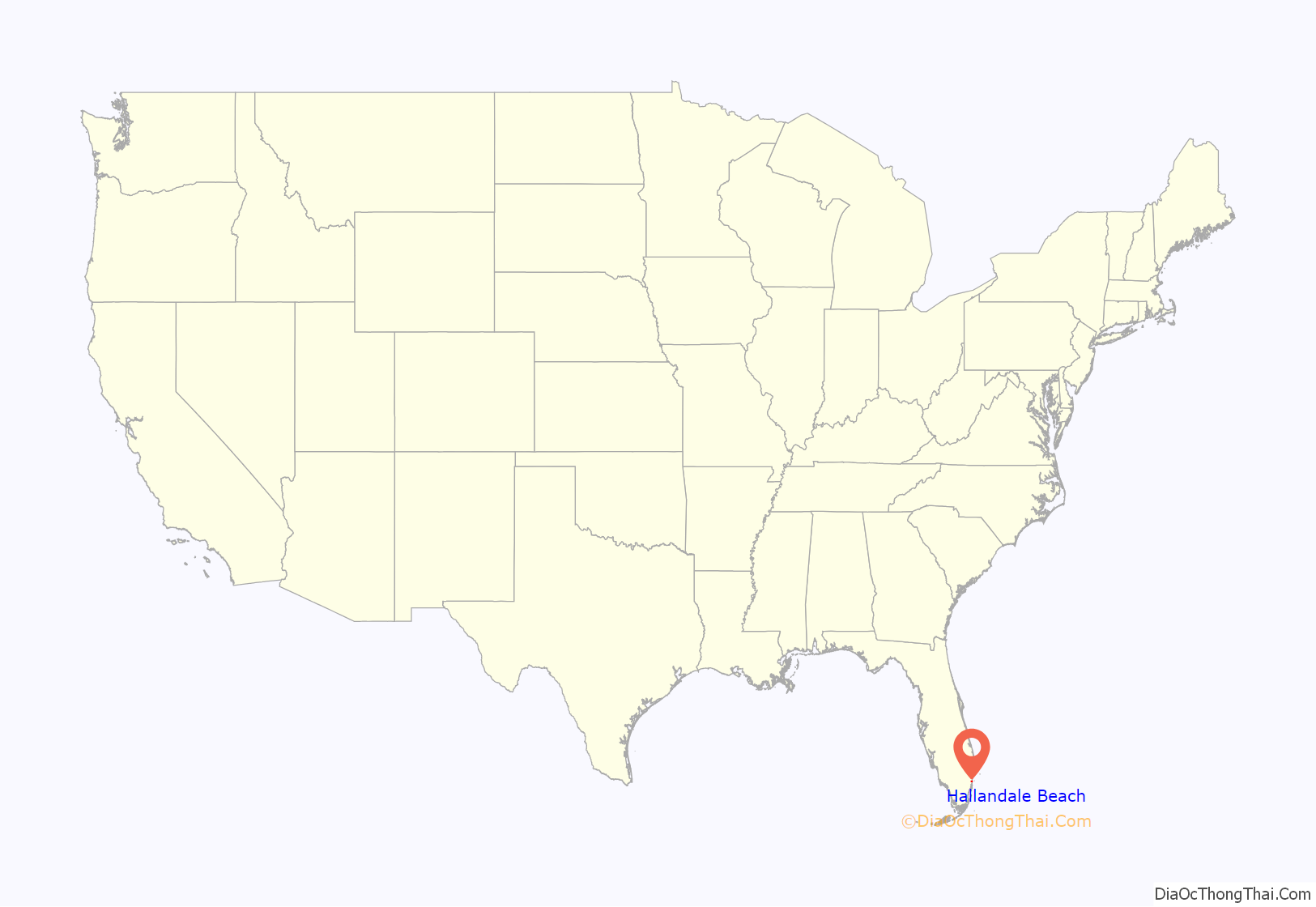
Hallandale Beach location map. Where is Hallandale Beach city?
History
Hallandale Beach, like most of Broward County, had no permanent European-descended population until the end of the 19th century. Seminole Indians, in settlements that lay inland of the Atlantic shore, hunted in the area and gathered coontie roots to produce arrowroot starch. The northern edge of Hallandale Beach (along Pembroke Road) still features noticeable hammocks, points elevated above sea level in the distant past.
Railroad magnate Henry Flagler, owner of the Florida East Coast Railway, recruited Luther Halland, a brother-in-law of Flagler’s agents, to found a settlement south of the community of Dania. Halland and Swedish immigrant Olaf Zetterlund touted the frost-free climate and cheap land of the settlement (then named Halland, later changed to Hallandale). Halland constructed a small trading post and became the first postmaster of the small community.
By 1900, the community had slowly grown to a dozen families—seven of Swedish, three of English, and two of African descent. In 1904 the first school was built, and the first church followed two years later. Hallandale was primarily a farming community; the beach was undeveloped and used by the residents only for recreational purposes.
Hallandale was incorporated on 11 May 1927, the eighth municipality in Broward County. By that time, a thriving community of 1,500 residents, with electricity and street lights, was in place. In 1947, Hallandale was reincorporated as the City of Hallandale, allowing it to expand its borders through annexation of nearby unincorporated land lying adjacent to the Atlantic shore. On August 27, 1999, the city officially changed its name to Hallandale Beach.
Hurricane Katrina first made landfall between Hallandale Beach and Aventura, Florida.
Hurricane Irma was originally expected to go right through Hallandale Beach, instead making landfall in Key West, and once again in Naples.
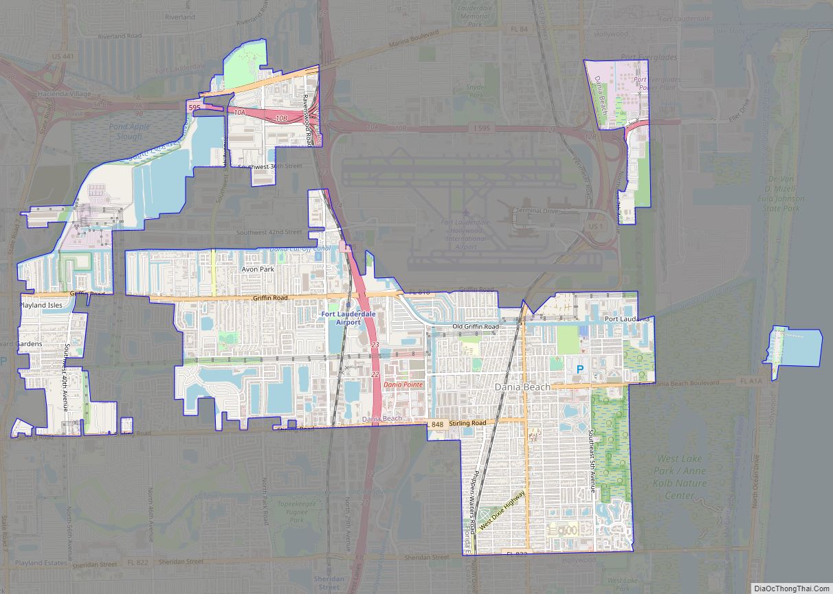
Hallandale Beach Road Map
Hallandale Beach city Satellite Map
Geography
Hallandale Beach is located at 25°59′12″N 80°08′46″W / 25.986719°N 80.146024°W / 25.986719; -80.146024. According to the United States Census Bureau, the city has a total area 4.55 square miles (12 km). 4.21 square miles (11 km) of it is land and .34 square miles (1 km) of it (7.47%) is water.
Hollywood is located north of Hallandale Beach, Aventura in Miami-Dade County is south of the city, the Atlantic Ocean is to the east, and Pembroke Park is to the west.
Although it appears from a map that a small portion of the Golden Isles neighborhood extends into Miami-Dade County, this land was actually transferred to Broward County, and annexed to Hallandale Beach in 1978.
See also
Map of Florida State and its subdivision:- Alachua
- Baker
- Bay
- Bradford
- Brevard
- Broward
- Calhoun
- Charlotte
- Citrus
- Clay
- Collier
- Columbia
- Desoto
- Dixie
- Duval
- Escambia
- Flagler
- Franklin
- Gadsden
- Gilchrist
- Glades
- Gulf
- Hamilton
- Hardee
- Hendry
- Hernando
- Highlands
- Hillsborough
- Holmes
- Indian River
- Jackson
- Jefferson
- Lafayette
- Lake
- Lee
- Leon
- Levy
- Liberty
- Madison
- Manatee
- Marion
- Martin
- Miami-Dade
- Monroe
- Nassau
- Okaloosa
- Okeechobee
- Orange
- Osceola
- Palm Beach
- Pasco
- Pinellas
- Polk
- Putnam
- Saint Johns
- Saint Lucie
- Santa Rosa
- Sarasota
- Seminole
- Sumter
- Suwannee
- Taylor
- Union
- Volusia
- Wakulla
- Walton
- Washington
- Alabama
- Alaska
- Arizona
- Arkansas
- California
- Colorado
- Connecticut
- Delaware
- District of Columbia
- Florida
- Georgia
- Hawaii
- Idaho
- Illinois
- Indiana
- Iowa
- Kansas
- Kentucky
- Louisiana
- Maine
- Maryland
- Massachusetts
- Michigan
- Minnesota
- Mississippi
- Missouri
- Montana
- Nebraska
- Nevada
- New Hampshire
- New Jersey
- New Mexico
- New York
- North Carolina
- North Dakota
- Ohio
- Oklahoma
- Oregon
- Pennsylvania
- Rhode Island
- South Carolina
- South Dakota
- Tennessee
- Texas
- Utah
- Vermont
- Virginia
- Washington
- West Virginia
- Wisconsin
- Wyoming
