Princeton is a census-designated place (CDP) and unincorporated community in Miami-Dade County, Florida, United States. The population was 39,208 at the 2020 census, up from 22,038 at the 2010 census.
| Name: | Princeton CDP |
|---|---|
| LSAD Code: | 57 |
| LSAD Description: | CDP (suffix) |
| State: | Florida |
| County: | Miami-Dade County |
| Elevation: | 10 ft (3 m) |
| Total Area: | 7.47 sq mi (19.34 km²) |
| Land Area: | 7.42 sq mi (19.21 km²) |
| Water Area: | 0.05 sq mi (0.13 km²) |
| Total Population: | 39,308 |
| Population Density: | 5,299.72/sq mi (2,046.13/km²) |
| ZIP code: | 33032, 33092 (Princeton); 33170 (Goulds) |
| Area code: | 305 |
| FIPS code: | 1258975 |
| GNISfeature ID: | 0289323 |
Online Interactive Map
Click on ![]() to view map in "full screen" mode.
to view map in "full screen" mode.
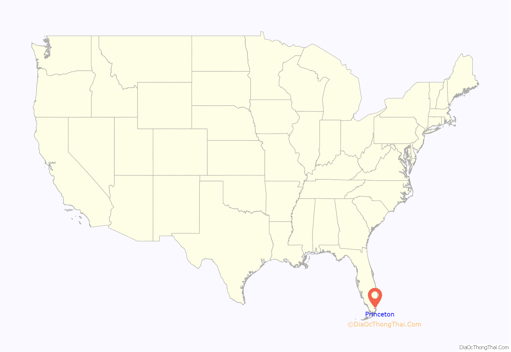
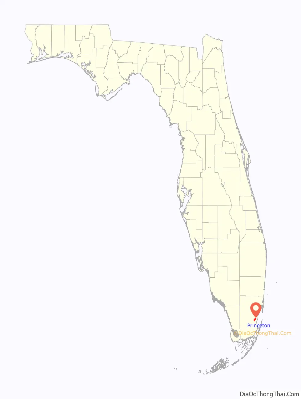
Princeton location map. Where is Princeton CDP?
History
As a small town and depot along the Florida East Coast Railroad in the 1900s, the community was named by Gaston Drake after his alma mater, Princeton University. Many of the town buildings were even painted the school’s colors: black and orange. Drake operated a saw mill and lumber company in Princeton supplying Miami, the Florida Keys and Cuba until the local timber gave out in 1923.
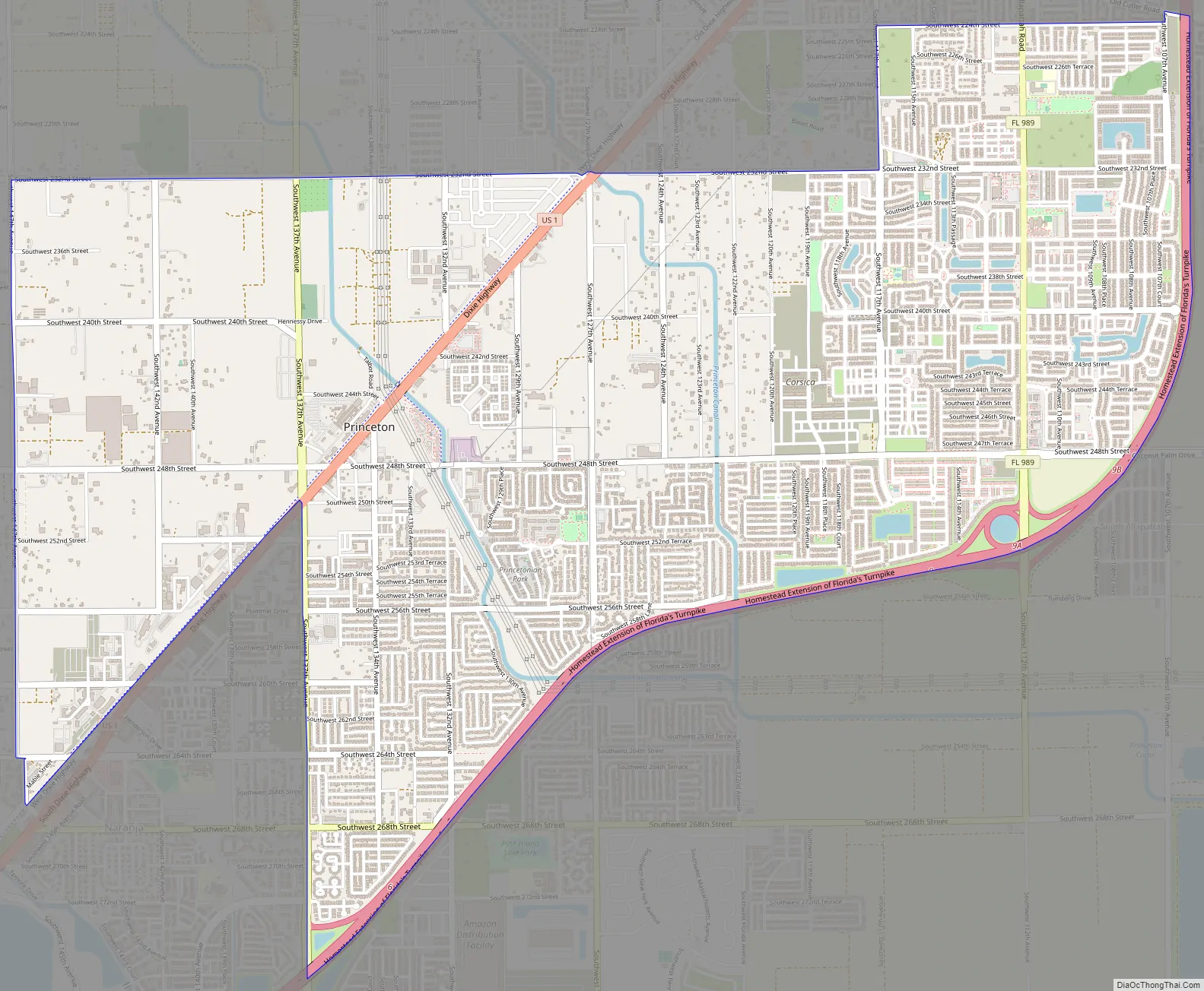
Princeton Road Map
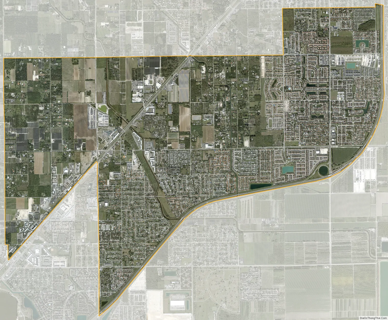
Princeton city Satellite Map
Geography
Princeton is located 24 miles (39 km) southwest of downtown Miami and 6 miles (10 km) northeast of Homestead at 25°32′8″N 80°23′51″W / 25.53556°N 80.39750°W / 25.53556; -80.39750 (25.535634, -80.397485). It is bordered to the north by Goulds and to the southwest by Naranja, both unincorporated.
U.S. Route 1 (Dixie Highway) runs northeast to southwest through Princeton, and the Homestead Extension of Florida’s Turnpike forms the eastern edge of the community, with access from Exit 9 (Florida State Road 989).
According to the United States Census Bureau, the CDP has a total area of 7.5 square miles (19 km), of which 0.05 square miles (0.13 km), or 0.67%, are water.
See also
Map of Florida State and its subdivision:- Alachua
- Baker
- Bay
- Bradford
- Brevard
- Broward
- Calhoun
- Charlotte
- Citrus
- Clay
- Collier
- Columbia
- Desoto
- Dixie
- Duval
- Escambia
- Flagler
- Franklin
- Gadsden
- Gilchrist
- Glades
- Gulf
- Hamilton
- Hardee
- Hendry
- Hernando
- Highlands
- Hillsborough
- Holmes
- Indian River
- Jackson
- Jefferson
- Lafayette
- Lake
- Lee
- Leon
- Levy
- Liberty
- Madison
- Manatee
- Marion
- Martin
- Miami-Dade
- Monroe
- Nassau
- Okaloosa
- Okeechobee
- Orange
- Osceola
- Palm Beach
- Pasco
- Pinellas
- Polk
- Putnam
- Saint Johns
- Saint Lucie
- Santa Rosa
- Sarasota
- Seminole
- Sumter
- Suwannee
- Taylor
- Union
- Volusia
- Wakulla
- Walton
- Washington
- Alabama
- Alaska
- Arizona
- Arkansas
- California
- Colorado
- Connecticut
- Delaware
- District of Columbia
- Florida
- Georgia
- Hawaii
- Idaho
- Illinois
- Indiana
- Iowa
- Kansas
- Kentucky
- Louisiana
- Maine
- Maryland
- Massachusetts
- Michigan
- Minnesota
- Mississippi
- Missouri
- Montana
- Nebraska
- Nevada
- New Hampshire
- New Jersey
- New Mexico
- New York
- North Carolina
- North Dakota
- Ohio
- Oklahoma
- Oregon
- Pennsylvania
- Rhode Island
- South Carolina
- South Dakota
- Tennessee
- Texas
- Utah
- Vermont
- Virginia
- Washington
- West Virginia
- Wisconsin
- Wyoming


