North Palm Beach is an incorporated village in Palm Beach County, Florida, United States. It is part of the Miami Metropolitan Area. The population was 13,162 at the 2020 census. The village won an award from the National Association of Home Builders as best planned community of 1956. The North Palm Beach Country Club is home to a Jack Nicklaus Signature golf course.
| Name: | North Palm Beach village |
|---|---|
| LSAD Code: | 47 |
| LSAD Description: | village (suffix) |
| State: | Florida |
| County: | Palm Beach County |
| Incorporated: | August 13, 1956 |
| Elevation: | 10 ft (3 m) |
| Total Area: | 5.29 sq mi (13.70 km²) |
| Land Area: | 3.27 sq mi (8.46 km²) |
| Water Area: | 2.02 sq mi (5.24 km²) |
| Total Population: | 13,162 |
| Population Density: | 4,031.24/sq mi (1,556.58/km²) |
| ZIP code: | 33403, 33408, 33410 |
| Area code: | 561 |
| FIPS code: | 1249600 |
| GNISfeature ID: | 0287845 |
Online Interactive Map
Click on ![]() to view map in "full screen" mode.
to view map in "full screen" mode.
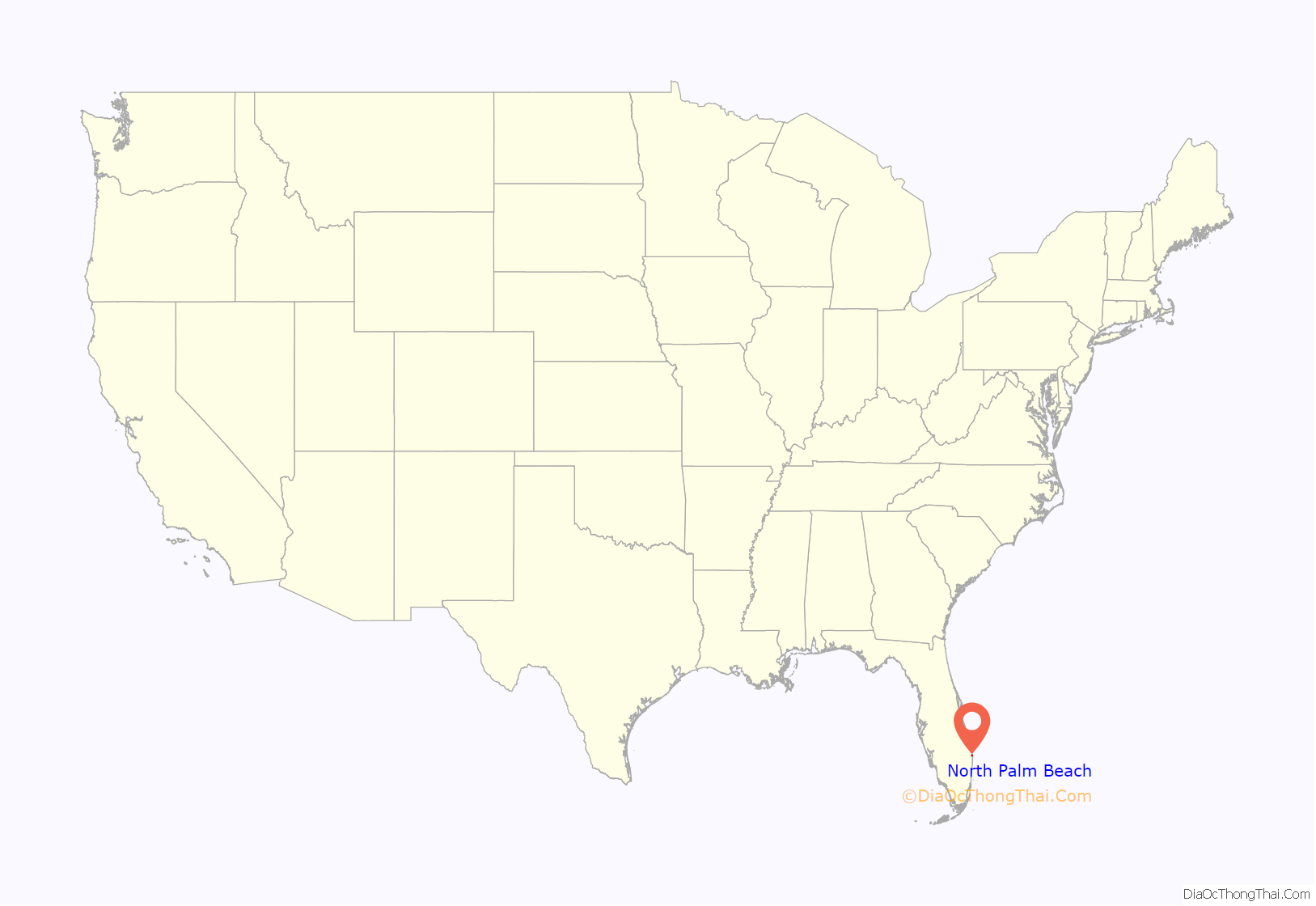
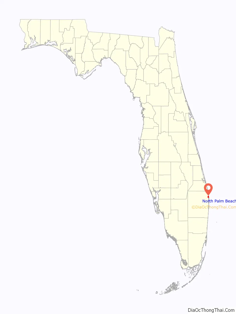
North Palm Beach location map. Where is North Palm Beach village?
History
In 1954 for $5.5 million John D. MacArthur bought 2,600 acres (11 km) of land in northern Palm Beach County that had been owned originally by Harry Seymour Kelsey and later by Sir Harry Oakes. The land included most of today’s North Palm Beach as well as Lake Park, Palm Beach Gardens and Palm Beach Shores. MacArthur then began developing what is now North Palm Beach, which sat on former mangrove swamps and farm land. The area was punctuated only by Monet Road and Johnson Dairy Road to the north and south and US 1 and Prosperity Farms Road to the east and west.
Full-scale development and incorporation as a village occurred nearly simultaneously in 1956, with extensive dredging creating waterfront cul-de-sacs, and the development of a new east-west artery, Lighthouse Drive, connecting Old Dixie Highway and the newly aligned US 1. US 1 was widened and became the main office and civic corridor. Sir Harry Oakes’ castle-like home on US 1 became the clubhouse for the North Palm Beach Country Club, which is located on the village island surrounded by the Intracoastal Waterway reached by three bridges Lighthouse Drive bridge to the West, the Earmon River bridge to the south, and the Parker drawbridge to the north.
In 1960–1961, North Palm Beach elected Walter E. Thomas, Jr. as its fourth Mayor. Walter and his wife Jackie and four children (Ted, Larry, Jim, and Pam) were the 55th family to move into the Village, arriving in 1957.
Lake Park West Road was also extended from Old Dixie Highway to US 1 and was renamed Northlake Boulevard, becoming the village’s main commercial corridor.
The North Palm Beach Country Club is publicly owned by the Village of North Palm Beach and is open to the general public seven days a week. It first opened in 1963. The aging original structure was demolished in 2018 and a new clubhouse was built in its place in 2019.
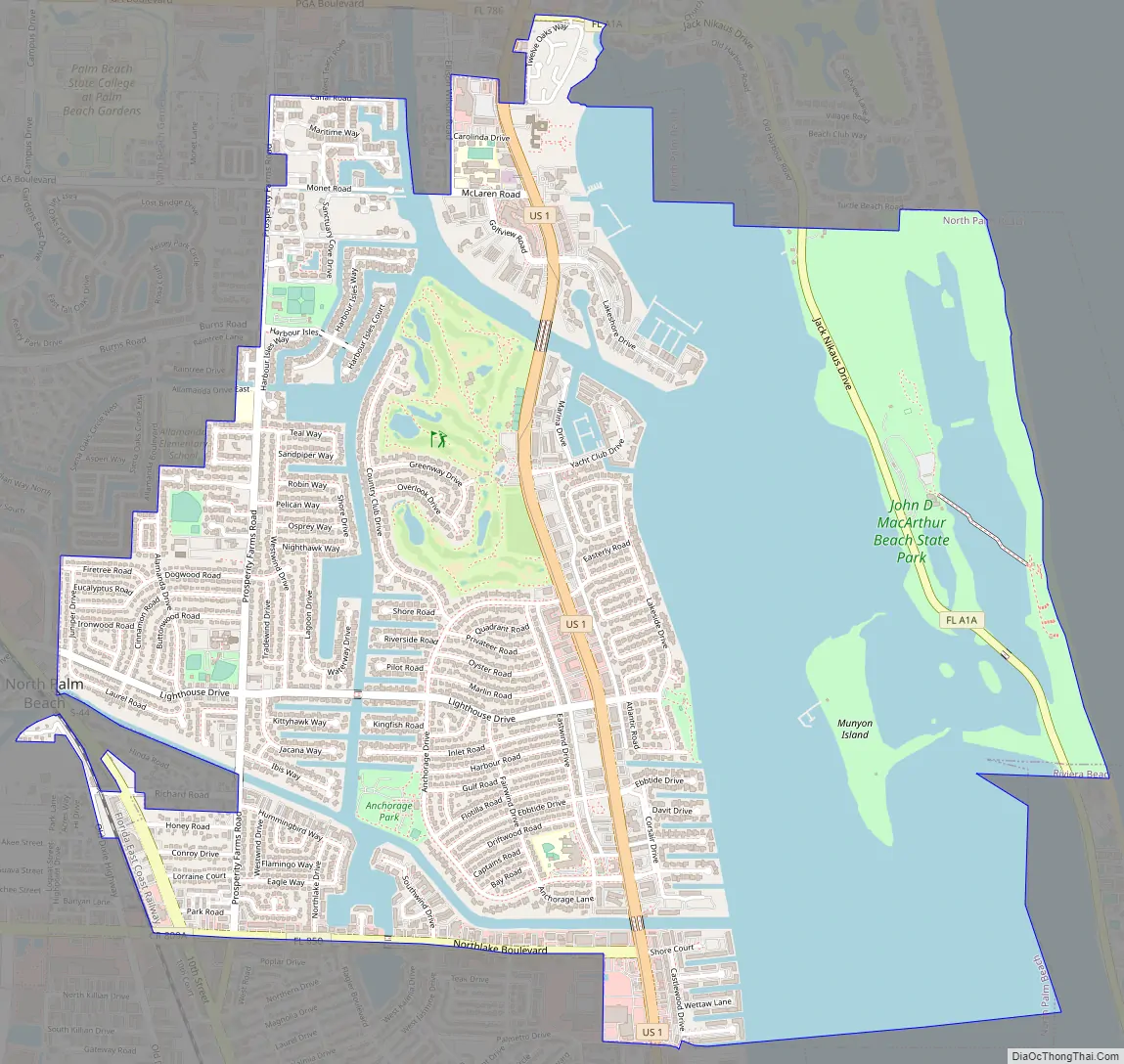
North Palm Beach Road Map
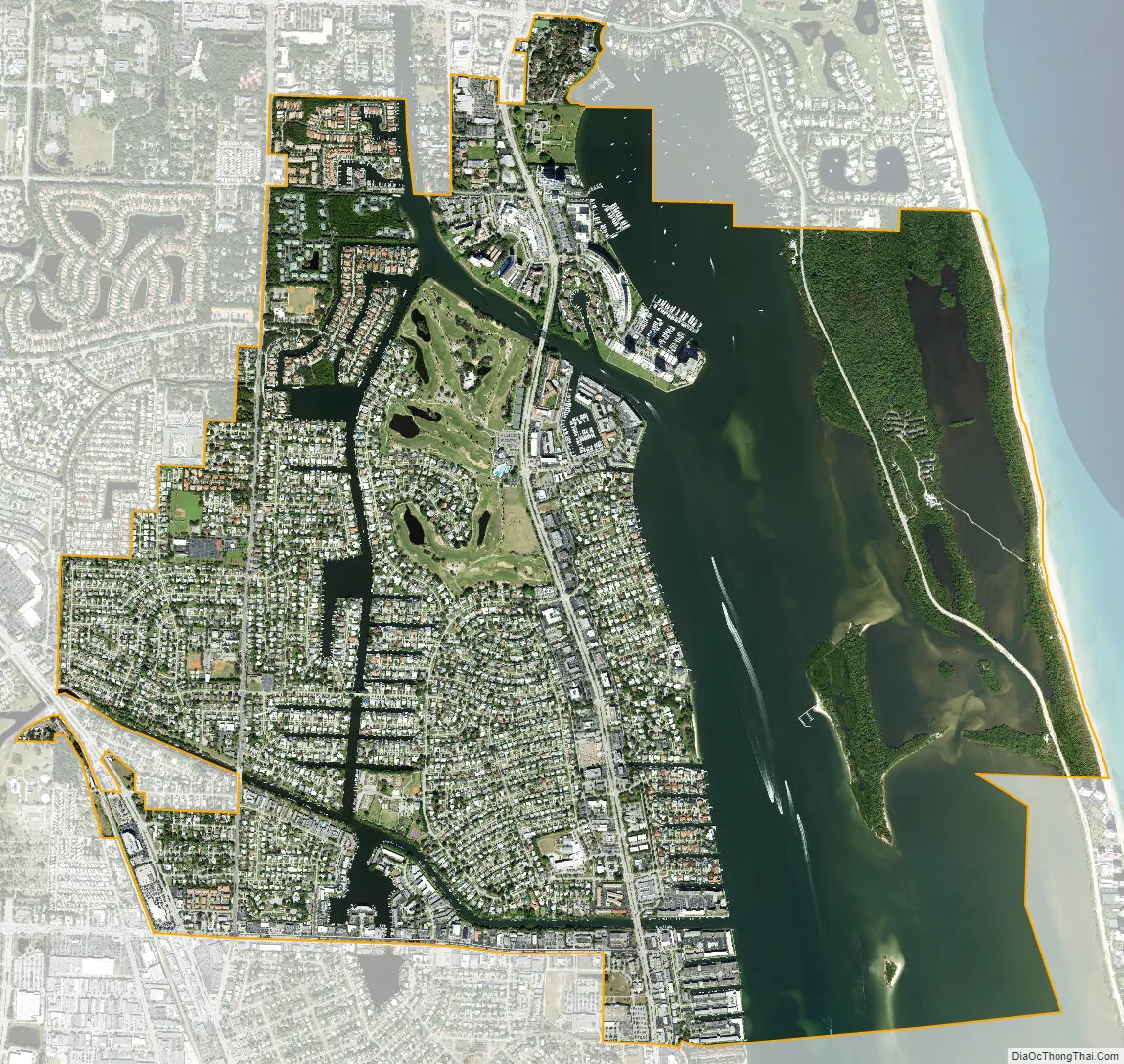
North Palm Beach city Satellite Map
Geography
North Palm Beach is located at 26°49′06″N 80°03′49″W / 26.818239°N 80.063714°W / 26.818239; -80.063714.
According to the United States Census Bureau, the village has a total area of 5.8 square miles (15 km), of which 3.6 square miles (9.3 km) is land and 2.2 square miles (5.7 km) (38.62%) is water.
See also
Map of Florida State and its subdivision:- Alachua
- Baker
- Bay
- Bradford
- Brevard
- Broward
- Calhoun
- Charlotte
- Citrus
- Clay
- Collier
- Columbia
- Desoto
- Dixie
- Duval
- Escambia
- Flagler
- Franklin
- Gadsden
- Gilchrist
- Glades
- Gulf
- Hamilton
- Hardee
- Hendry
- Hernando
- Highlands
- Hillsborough
- Holmes
- Indian River
- Jackson
- Jefferson
- Lafayette
- Lake
- Lee
- Leon
- Levy
- Liberty
- Madison
- Manatee
- Marion
- Martin
- Miami-Dade
- Monroe
- Nassau
- Okaloosa
- Okeechobee
- Orange
- Osceola
- Palm Beach
- Pasco
- Pinellas
- Polk
- Putnam
- Saint Johns
- Saint Lucie
- Santa Rosa
- Sarasota
- Seminole
- Sumter
- Suwannee
- Taylor
- Union
- Volusia
- Wakulla
- Walton
- Washington
- Alabama
- Alaska
- Arizona
- Arkansas
- California
- Colorado
- Connecticut
- Delaware
- District of Columbia
- Florida
- Georgia
- Hawaii
- Idaho
- Illinois
- Indiana
- Iowa
- Kansas
- Kentucky
- Louisiana
- Maine
- Maryland
- Massachusetts
- Michigan
- Minnesota
- Mississippi
- Missouri
- Montana
- Nebraska
- Nevada
- New Hampshire
- New Jersey
- New Mexico
- New York
- North Carolina
- North Dakota
- Ohio
- Oklahoma
- Oregon
- Pennsylvania
- Rhode Island
- South Carolina
- South Dakota
- Tennessee
- Texas
- Utah
- Vermont
- Virginia
- Washington
- West Virginia
- Wisconsin
- Wyoming


