Parkland is a suburban city, 42 miles northwest of Miami, in northern Broward County, Florida, United States. As of the 2020 census, the population of Parkland was 34,670. Parkland is part of the Miami metropolitan area, which was home to 6,166,488 people in 2020.
Parkland’s zoning laws are designed to protect the “park-like” character of the city. There were no stores or traffic lights in Parkland until the mid-1990s and early 2000s when large neighborhood developments (Heron Bay and Parkland Isles) were built.
| Name: | Parkland city |
|---|---|
| LSAD Code: | 25 |
| LSAD Description: | city (suffix) |
| State: | Florida |
| County: | Broward County |
| Incorporated: | July 10, 1963 |
| Elevation: | 9 ft (4 m) |
| Land Area: | 12.50 sq mi (32.38 km²) |
| Water Area: | 1.84 sq mi (4.77 km²) 3.77% |
| Population Density: | 2,772.93/sq mi (1,070.61/km²) |
| ZIP code: | 33067, 33073, 33076 |
| Area code: | 754, 954 |
| FIPS code: | 1255125 |
| GNISfeature ID: | 0307615 |
| Website: | www.cityofparkland.org |
Online Interactive Map
Click on ![]() to view map in "full screen" mode.
to view map in "full screen" mode.
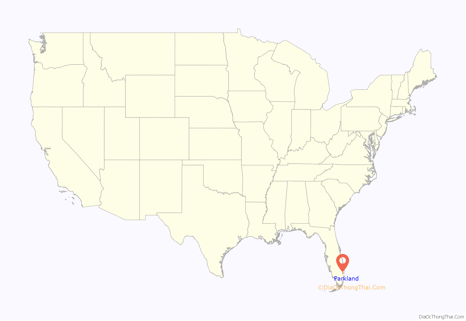
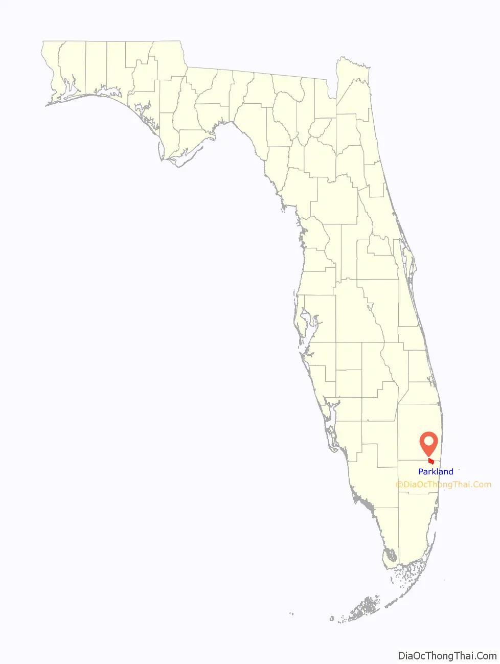
Parkland location map. Where is Parkland city?
History
Parkland was incorporated as a city on August 13, 1963, by C. Farris Bryant, the Governor of Florida.
On February 14, 2018, Marjory Stoneman Douglas High School, a High School in Parkland, became the scene of a deadly mass shooting perpetrated by a 19-year-old former student of the school. It was the fifth deadliest high school shooting in United States history.
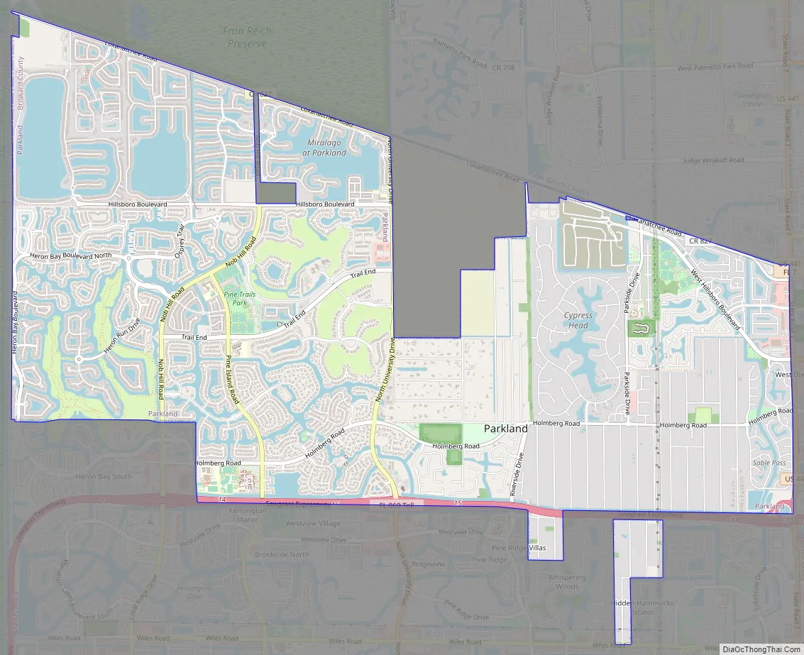
Parkland Road Map
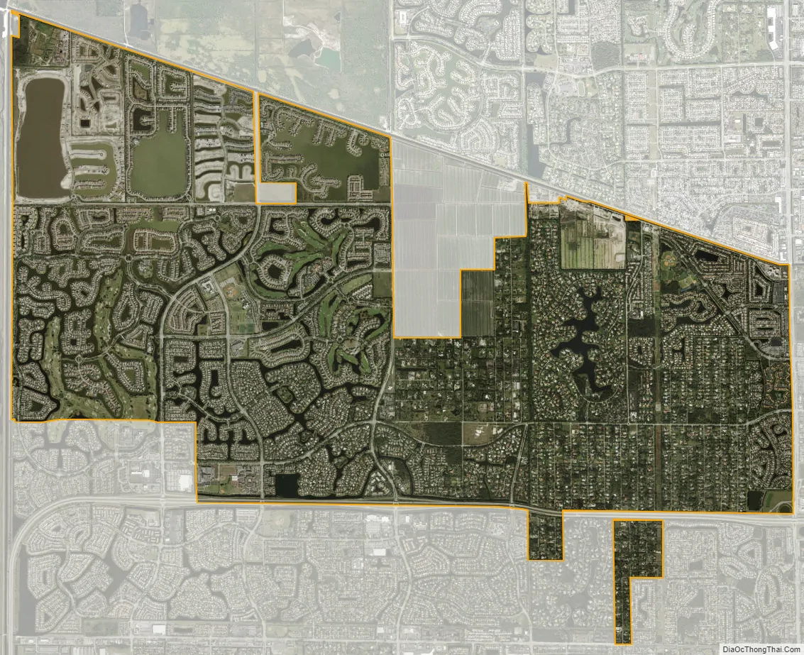
Parkland city Satellite Map
Geography
Parkland is located at 26°18′55″N 80°14′26″W / 26.315357°N 80.240444°W / 26.315357; -80.240444. According to the United States Census Bureau, the city has a total area of 12.8 square miles (33.2 km), of which 12.3 square miles (31.9 km) is land and 0.50 square miles (1.3 km) (3.97%) is water. The northern boundary of Parkland coincides with the border between Broward and Palm Beach counties. West Boca Raton, an unincorporated area of Palm Beach County that extends west of Boca Raton’s city limits, lies to the north. Coconut Creek lies to the east, Coral Springs lies to the south and the west is bounded by the Everglades.
See also
Map of Florida State and its subdivision:- Alachua
- Baker
- Bay
- Bradford
- Brevard
- Broward
- Calhoun
- Charlotte
- Citrus
- Clay
- Collier
- Columbia
- Desoto
- Dixie
- Duval
- Escambia
- Flagler
- Franklin
- Gadsden
- Gilchrist
- Glades
- Gulf
- Hamilton
- Hardee
- Hendry
- Hernando
- Highlands
- Hillsborough
- Holmes
- Indian River
- Jackson
- Jefferson
- Lafayette
- Lake
- Lee
- Leon
- Levy
- Liberty
- Madison
- Manatee
- Marion
- Martin
- Miami-Dade
- Monroe
- Nassau
- Okaloosa
- Okeechobee
- Orange
- Osceola
- Palm Beach
- Pasco
- Pinellas
- Polk
- Putnam
- Saint Johns
- Saint Lucie
- Santa Rosa
- Sarasota
- Seminole
- Sumter
- Suwannee
- Taylor
- Union
- Volusia
- Wakulla
- Walton
- Washington
- Alabama
- Alaska
- Arizona
- Arkansas
- California
- Colorado
- Connecticut
- Delaware
- District of Columbia
- Florida
- Georgia
- Hawaii
- Idaho
- Illinois
- Indiana
- Iowa
- Kansas
- Kentucky
- Louisiana
- Maine
- Maryland
- Massachusetts
- Michigan
- Minnesota
- Mississippi
- Missouri
- Montana
- Nebraska
- Nevada
- New Hampshire
- New Jersey
- New Mexico
- New York
- North Carolina
- North Dakota
- Ohio
- Oklahoma
- Oregon
- Pennsylvania
- Rhode Island
- South Carolina
- South Dakota
- Tennessee
- Texas
- Utah
- Vermont
- Virginia
- Washington
- West Virginia
- Wisconsin
- Wyoming


