Pine Lakes is an unincorporated community and census-designated place (CDP) in Lake County, Florida, United States. The population was 862 at the 2010 census, up from 755 at the 2000 census. It is part of the Orlando–Kissimmee Metropolitan Statistical Area.
| Name: | Pine Lakes CDP |
|---|---|
| LSAD Code: | 57 |
| LSAD Description: | CDP (suffix) |
| State: | Florida |
| County: | Lake County |
| Elevation: | 56 ft (17 m) |
| Total Area: | 1.71 sq mi (4.44 km²) |
| Land Area: | 1.60 sq mi (4.15 km²) |
| Water Area: | 0.11 sq mi (0.29 km²) |
| Total Population: | 818 |
| Population Density: | 510.61/sq mi (197.21/km²) |
| ZIP code: | 32736 |
| Area code: | 352 |
| FIPS code: | 1256865 |
| GNISfeature ID: | 2403415 |
Online Interactive Map
Click on ![]() to view map in "full screen" mode.
to view map in "full screen" mode.
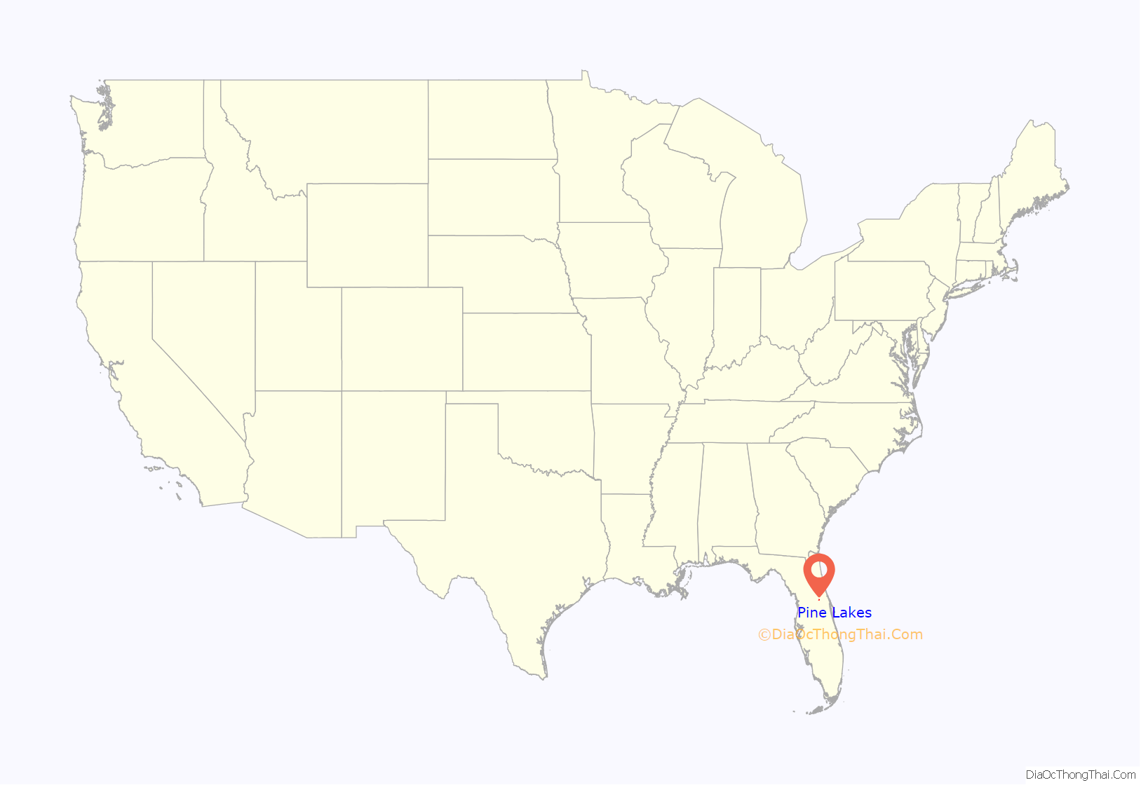
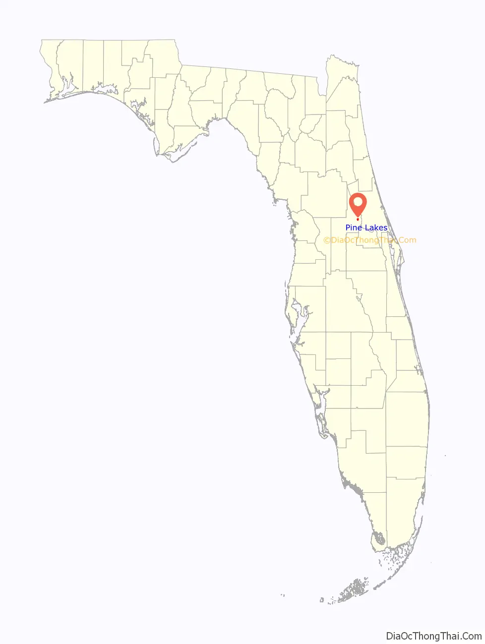
Pine Lakes location map. Where is Pine Lakes CDP?
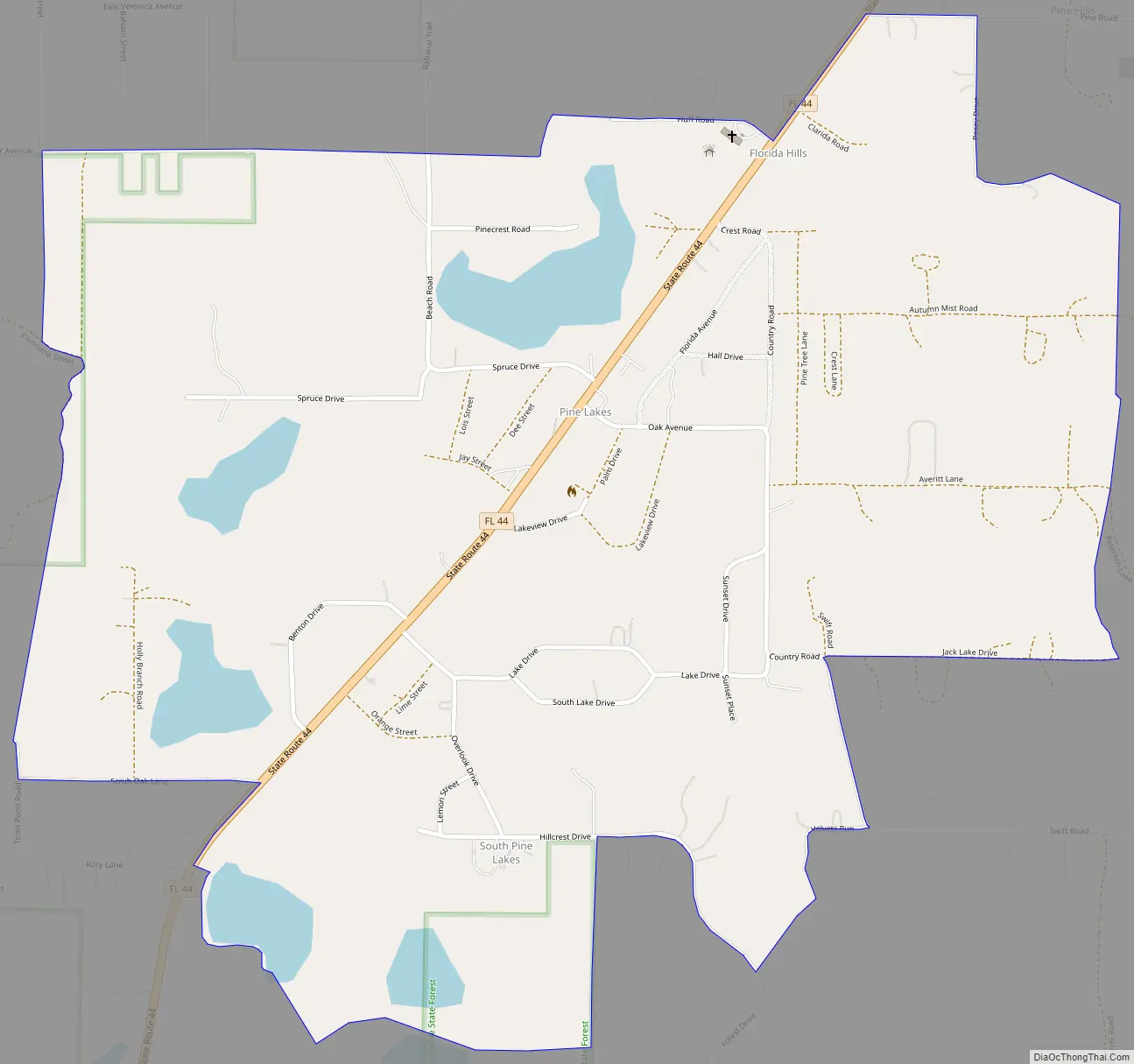
Pine Lakes Road Map
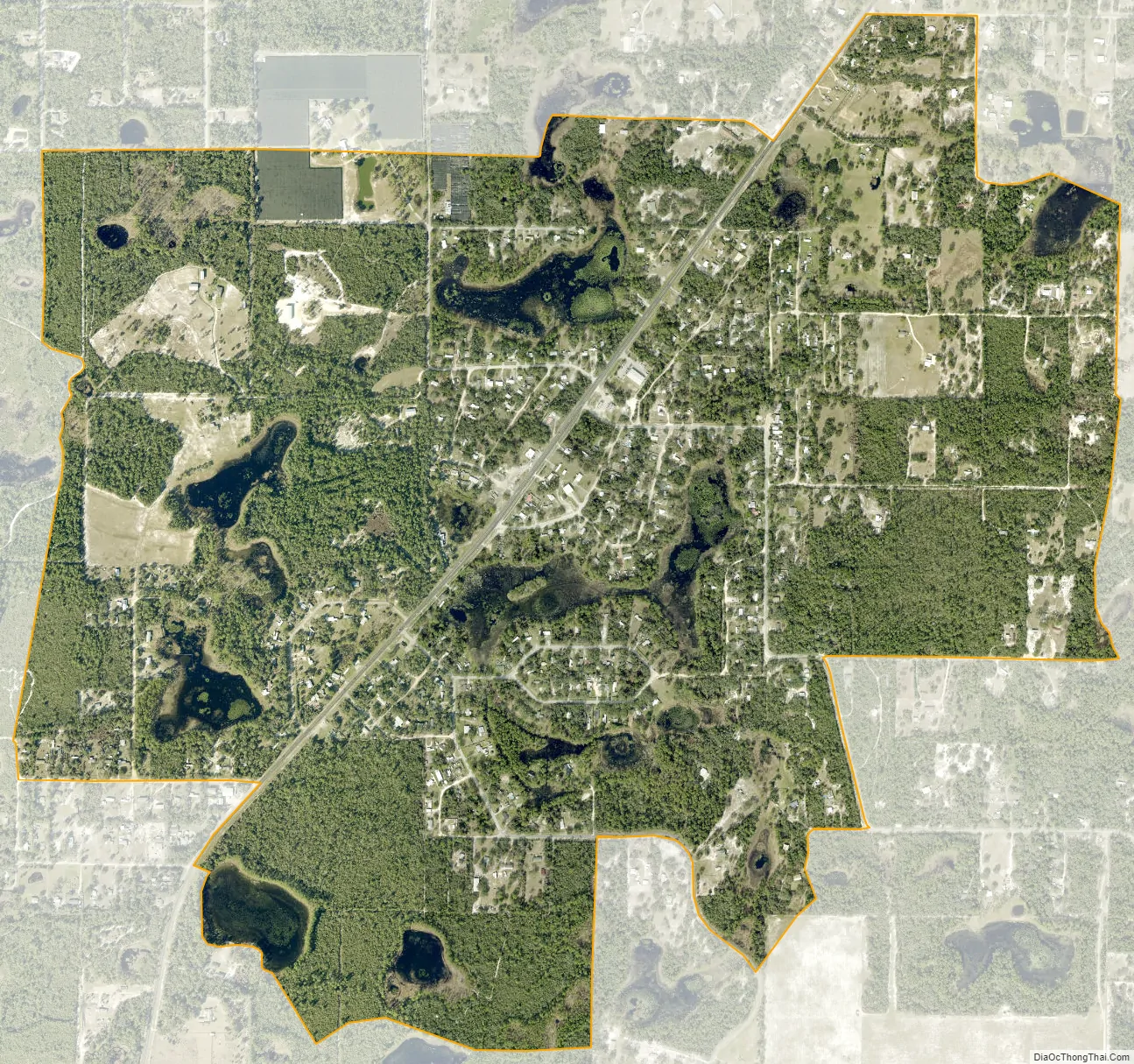
Pine Lakes city Satellite Map
Geography
Pine Lakes is located in northeastern Lake County. The CDP includes the communities of Pine Lakes, South Pine Lakes, and Florida Hills.
Florida State Road 44 passes through Pine Lakes, leading northeast 10 miles (16 km) to DeLand and southwest 17 miles (27 km) to Mount Dora.
According to the United States Census Bureau, the CDP has a total area of 1.7 square miles (4.4 km), of which 1.6 square miles (4.1 km) are land and 0.1 square miles (0.3 km), or 6.48%, are water. There are at least eight named lakes in the CDP, the largest being Pine Lake and Crystal Lake.
See also
Map of Florida State and its subdivision:- Alachua
- Baker
- Bay
- Bradford
- Brevard
- Broward
- Calhoun
- Charlotte
- Citrus
- Clay
- Collier
- Columbia
- Desoto
- Dixie
- Duval
- Escambia
- Flagler
- Franklin
- Gadsden
- Gilchrist
- Glades
- Gulf
- Hamilton
- Hardee
- Hendry
- Hernando
- Highlands
- Hillsborough
- Holmes
- Indian River
- Jackson
- Jefferson
- Lafayette
- Lake
- Lee
- Leon
- Levy
- Liberty
- Madison
- Manatee
- Marion
- Martin
- Miami-Dade
- Monroe
- Nassau
- Okaloosa
- Okeechobee
- Orange
- Osceola
- Palm Beach
- Pasco
- Pinellas
- Polk
- Putnam
- Saint Johns
- Saint Lucie
- Santa Rosa
- Sarasota
- Seminole
- Sumter
- Suwannee
- Taylor
- Union
- Volusia
- Wakulla
- Walton
- Washington
- Alabama
- Alaska
- Arizona
- Arkansas
- California
- Colorado
- Connecticut
- Delaware
- District of Columbia
- Florida
- Georgia
- Hawaii
- Idaho
- Illinois
- Indiana
- Iowa
- Kansas
- Kentucky
- Louisiana
- Maine
- Maryland
- Massachusetts
- Michigan
- Minnesota
- Mississippi
- Missouri
- Montana
- Nebraska
- Nevada
- New Hampshire
- New Jersey
- New Mexico
- New York
- North Carolina
- North Dakota
- Ohio
- Oklahoma
- Oregon
- Pennsylvania
- Rhode Island
- South Carolina
- South Dakota
- Tennessee
- Texas
- Utah
- Vermont
- Virginia
- Washington
- West Virginia
- Wisconsin
- Wyoming


