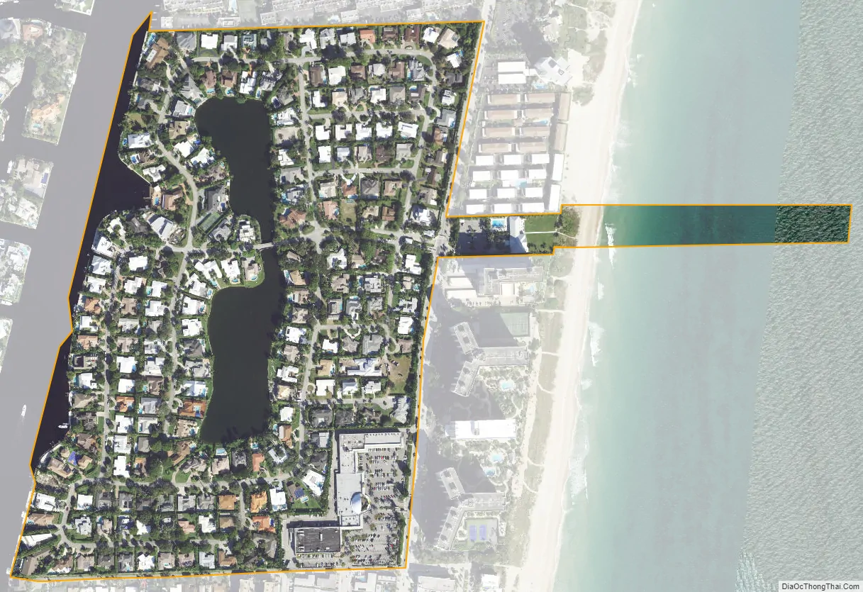
Sea Ranch Lakes is a village in Broward County, Florida, United States. The population was 540 at the 2020 census. It is located on North Ocean Drive (Highway A1A) and is surrounded by Lauderdale-by-the-Sea. The majority of the village is a gated community, with the remainder being a public shopping plaza and a private beach club for village residents, with a pool and access to Sea Ranch Lakes Beach.
| Name: | Sea Ranch Lakes village |
|---|---|
| LSAD Code: | 47 |
| LSAD Description: | village (suffix) |
| State: | Florida |
| County: | Broward County |
| Incorporated: | October 06, 1959 |
| Elevation: | 10 ft (3 m) |
| Total Area: | 0.19 sq mi (0.49 km²) |
| Land Area: | 0.17 sq mi (0.45 km²) |
| Water Area: | 0.02 sq mi (0.04 km²) |
| Total Population: | 540 |
| Population Density: | 3,103.45/sq mi (1,198.46/km²) |
| ZIP code: | 33308 |
| Area code: | 954, 754 |
| FIPS code: | 1264725 |
| GNISfeature ID: | 0290781 |
Online Interactive Map
Click on ![]() to view map in "full screen" mode.
to view map in "full screen" mode.
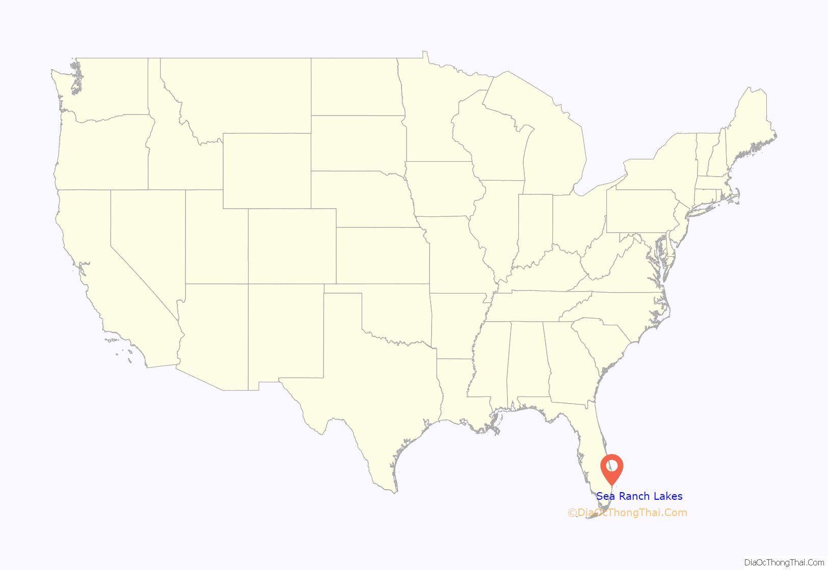
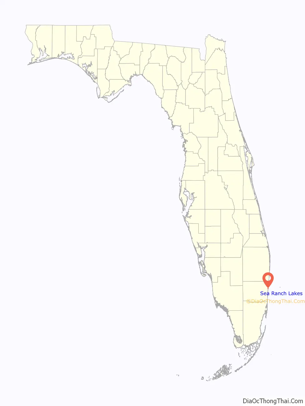
Sea Ranch Lakes location map. Where is Sea Ranch Lakes village?
History
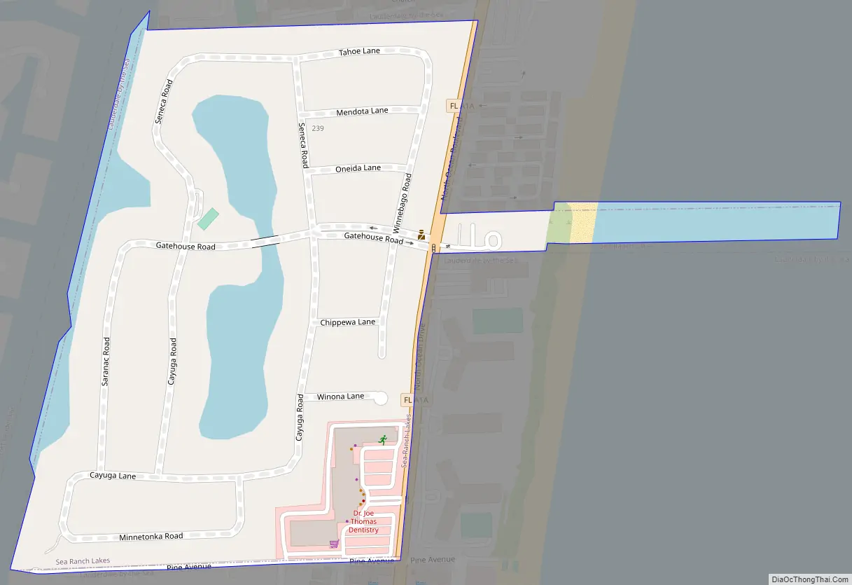
It was named after the Sea Ranch Hotel, a landmark hotel across from North Ocean Drive, the gated community’s main, public road. The “Lakes” part was added because of the residential village’s two artificial lakes. The private road leading into the village’s entrance is Gatehouse Drive.
Sea Ranch Lakes Road Map
Sea Ranch Lakes city Satellite Map
Geography
Sea Ranch Lakes is located at 26°12′2″N 80°5′48″W / 26.20056°N 80.09667°W / 26.20056; -80.09667 (26.200711, –80.096839). According to the United States Census Bureau, the village has a total area of 0.2 square miles (0.52 km), of which 0.04 square miles (0.10 km), or 18.18%, is water.
To its north:
To its south:
- Lauderdale-by-the-Sea
To its east:
- Atlantic Ocean
To its west:
- Intracoastal Waterway
- Fort Lauderdale
See also
Map of Florida State and its subdivision:- Alachua
- Baker
- Bay
- Bradford
- Brevard
- Broward
- Calhoun
- Charlotte
- Citrus
- Clay
- Collier
- Columbia
- Desoto
- Dixie
- Duval
- Escambia
- Flagler
- Franklin
- Gadsden
- Gilchrist
- Glades
- Gulf
- Hamilton
- Hardee
- Hendry
- Hernando
- Highlands
- Hillsborough
- Holmes
- Indian River
- Jackson
- Jefferson
- Lafayette
- Lake
- Lee
- Leon
- Levy
- Liberty
- Madison
- Manatee
- Marion
- Martin
- Miami-Dade
- Monroe
- Nassau
- Okaloosa
- Okeechobee
- Orange
- Osceola
- Palm Beach
- Pasco
- Pinellas
- Polk
- Putnam
- Saint Johns
- Saint Lucie
- Santa Rosa
- Sarasota
- Seminole
- Sumter
- Suwannee
- Taylor
- Union
- Volusia
- Wakulla
- Walton
- Washington
- Alabama
- Alaska
- Arizona
- Arkansas
- California
- Colorado
- Connecticut
- Delaware
- District of Columbia
- Florida
- Georgia
- Hawaii
- Idaho
- Illinois
- Indiana
- Iowa
- Kansas
- Kentucky
- Louisiana
- Maine
- Maryland
- Massachusetts
- Michigan
- Minnesota
- Mississippi
- Missouri
- Montana
- Nebraska
- Nevada
- New Hampshire
- New Jersey
- New Mexico
- New York
- North Carolina
- North Dakota
- Ohio
- Oklahoma
- Oregon
- Pennsylvania
- Rhode Island
- South Carolina
- South Dakota
- Tennessee
- Texas
- Utah
- Vermont
- Virginia
- Washington
- West Virginia
- Wisconsin
- Wyoming


