Sunrise is a city in central-western Broward County, Florida, United States, and is a principal city of the Miami metropolitan area. As of the 2020 census, the city had a total population of 97,335.
Sunrise was incorporated in 1961 and founded by Norman Johnson, a developer whose Upside-Down House attracted buyers to what was then a remote area.
| Name: | Sunrise city |
|---|---|
| LSAD Code: | 25 |
| LSAD Description: | city (suffix) |
| State: | Florida |
| County: | Broward County |
| Elevation: | 0 ft (0 m) |
| Total Area: | 18.12 sq mi (46.94 km²) |
| Land Area: | 16.20 sq mi (41.95 km²) |
| Water Area: | 1.92 sq mi (4.98 km²) 1.25% |
| Total Population: | 97,335 |
| Population Density: | 6,008.70/sq mi (2,320.04/km²) |
| ZIP code: | 33300-33399 |
| Area code: | 954, 754 |
| FIPS code: | 1269700 |
| GNISfeature ID: | 0291850 |
| Website: | www.sunrisefl.gov |
Online Interactive Map
Click on ![]() to view map in "full screen" mode.
to view map in "full screen" mode.
Sunrise location map. Where is Sunrise city?
History
Early history
In 1960, Iowa-born developer Norman Johnson paid $9 million for 2,650 acres of land in southwestern Broward County. By 1961, this community of 1.75 square miles—which Johnson named Sunrise Golf Village—had fewer than 350 residents.
It has been reported that the community was to be named Sunset Village—but this did not occur because of objections from residents who felt that “sunset” was too final. (Originally called “Sunset,” the name did not sit well with the retirees whom developers wanted to attract, so a change was made to “Sunrise.”)
Johnson and F. E. Dykstra developed and built an “upside-down house” to lure prospective property buyers. The home was completely furnished, and the carport featured an upside-down automobile. Public interest was aroused through numerous news stories—including a feature in Life magazine. The structure became a national attraction that drew thousands to the Village. People came to stand on the ceiling—and many stayed to make their home in the community.
In 1961, Norman Johnson was appointed by Governor C. Farris Bryant as the first Mayor of Sunrise Golf Village.
According to “City of Sunrise Golf Village,” a booklet produced by the City in 1969: “On January 10, 1967, (a date called for by City Charter) Sunrise Golf Village emerged from a developer’s operation into a free city under complete control of its residents. Also, on this auspicious date, the City elected a Mayor and seven Councilmen to four-year terms of office. The City of Sunrise Golf Village which comprises 3 1/2 square miles, has no air pollution or drainage problems, all paved streets, and street lighting throughout the entire City.”
That first elected mayor was John Lomelo Jr.—a former Miami nightclub owner who was drawn to Sunrise Golf Village by the Upside-Down House.
Growth
Originally known as Sunrise Golf Village, the City had a population of 4,300 and comprised just 1.75 square miles by 1967. Then, during the 1970s—as Broward County began to push west—the City experienced its first real growth.
In 1971, the City, by referendum, changed its name to the City of Sunrise. Through annexation, Sunrise eventually expanded to its current boundaries—encompassing more than 18 square miles, reaching the Everglades and dropping south of I-595/State Road 84. The City is situated approximately six miles west of Fort Lauderdale, and is adjoined by the communities of Weston, Davie, Tamarac, Lauderhill, and Plantation.
By October 1984, the City had reached an estimated population of 50,000. In the mid-1980s, growth gave way to challenges, as the City was faced with financial difficulties, limited economic opportunities and a lack of adequate civic amenities. In the early 1990s, Sunrise worked to put its financial house in order, rebuild its infrastructure and establish itself as a center for business headquarters. It is the site of Sawgrass International Corporate Park—at 612 acres, the largest corporate park in south Florida.
In 1990, the first phase of Sawgrass Mills opened in Sunrise. Due to its continued popularity and expansion, the shopping and entertainment center has grown to almost 2.3 million square feet. It features 350 outlet and value retailers; food courts and full-service restaurants; movie theater and family entertainment venues.
The National Car Rental Center—now the FLA Live Arena—opened its doors in 1998. The arena is the home of the National Hockey League’s Florida Panthers, and hosts top entertainers and events.
Thanks in large part to these shopping and entertainment destinations, Sunrise has become one of Florida’s top tourist draws. Its location at the center of Miami-Dade, Broward and Palm Beach counties—in close proximity to the Florida Turnpike and I-95, and bordered by the Sawgrass Expressway, I-75 and I-595—makes Sunrise accessible to area residents and visitors alike.
Sunrise operates its own utility services (water, wastewater, and natural gas), as well as municipal fire-rescue and police departments. The City also maintains its own system of parks, as well as a soccer club, golf course, tennis club, playgrounds and swimming pools. The Sunrise Civic Center includes a 300-seat theater, an art gallery, an athletic club, and banquet facilities. Sunrise is also home to eleven public schools.
Google Maps loss incident
In September 2010, Sunrise was “lost” by Google Maps. Individuals attempting to get driving directions or locate a business in Sunrise were redirected to Sarasota, Florida. This was the third time this occurred in Sunrise’s history.
Recent history
On February 2, 2021, a shootout occurred between a gunman and several FBI agents at an apartment complex in Sunrise. At the time, the agents were serving a federal warrant related to a child exploitation case. Two FBI agents were fatally shot and three others were injured. The gunman, who was the subject of the warrant, was later found dead after barricading himself inside the apartment. The shootout was the most violent incident in the FBI’s history since the 1986 shootout that left two agents dead and five others injured, and it was also the first time an agent was fatally shot in the line of duty since 2008.
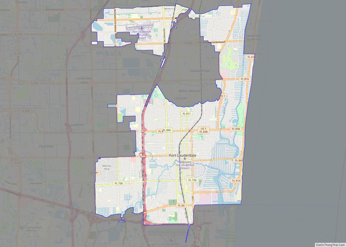
Sunrise Road Map
Sunrise city Satellite Map
See also
Map of Florida State and its subdivision:- Alachua
- Baker
- Bay
- Bradford
- Brevard
- Broward
- Calhoun
- Charlotte
- Citrus
- Clay
- Collier
- Columbia
- Desoto
- Dixie
- Duval
- Escambia
- Flagler
- Franklin
- Gadsden
- Gilchrist
- Glades
- Gulf
- Hamilton
- Hardee
- Hendry
- Hernando
- Highlands
- Hillsborough
- Holmes
- Indian River
- Jackson
- Jefferson
- Lafayette
- Lake
- Lee
- Leon
- Levy
- Liberty
- Madison
- Manatee
- Marion
- Martin
- Miami-Dade
- Monroe
- Nassau
- Okaloosa
- Okeechobee
- Orange
- Osceola
- Palm Beach
- Pasco
- Pinellas
- Polk
- Putnam
- Saint Johns
- Saint Lucie
- Santa Rosa
- Sarasota
- Seminole
- Sumter
- Suwannee
- Taylor
- Union
- Volusia
- Wakulla
- Walton
- Washington
- Alabama
- Alaska
- Arizona
- Arkansas
- California
- Colorado
- Connecticut
- Delaware
- District of Columbia
- Florida
- Georgia
- Hawaii
- Idaho
- Illinois
- Indiana
- Iowa
- Kansas
- Kentucky
- Louisiana
- Maine
- Maryland
- Massachusetts
- Michigan
- Minnesota
- Mississippi
- Missouri
- Montana
- Nebraska
- Nevada
- New Hampshire
- New Jersey
- New Mexico
- New York
- North Carolina
- North Dakota
- Ohio
- Oklahoma
- Oregon
- Pennsylvania
- Rhode Island
- South Carolina
- South Dakota
- Tennessee
- Texas
- Utah
- Vermont
- Virginia
- Washington
- West Virginia
- Wisconsin
- Wyoming


