Umatilla is a city in Lake County, Florida, United States. The population was 3,456 at the 2010 census and an estimated 3,805 in 2018. Umatilla is known as the Gateway to the Ocala National Forest, located in northern Lake County.
| Name: | Umatilla city |
|---|---|
| LSAD Code: | 25 |
| LSAD Description: | city (suffix) |
| State: | Florida |
| County: | Lake County |
| Elevation: | 98 ft (30 m) |
| Total Area: | 4.27 sq mi (11.06 km²) |
| Land Area: | 3.59 sq mi (9.30 km²) |
| Water Area: | 0.68 sq mi (1.76 km²) |
| Total Population: | 3,685 |
| Population Density: | 1,026.18/sq mi (396.26/km²) |
| ZIP code: | 32784 |
| Area code: | 352 |
| FIPS code: | 1273025 |
| GNISfeature ID: | 2405622 |
| Website: | www.umatillafl.org |
Online Interactive Map
Click on ![]() to view map in "full screen" mode.
to view map in "full screen" mode.
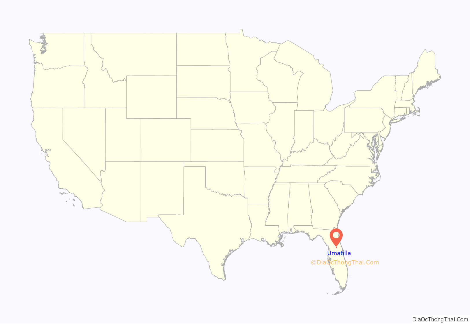
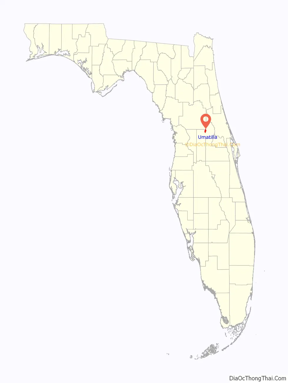
Umatilla location map. Where is Umatilla city?
History
The city was named after Umatilla, Oregon. In 1998 it was the site of a Mediterranean fruit fly outbreak at the Golden Gem citrus plant.
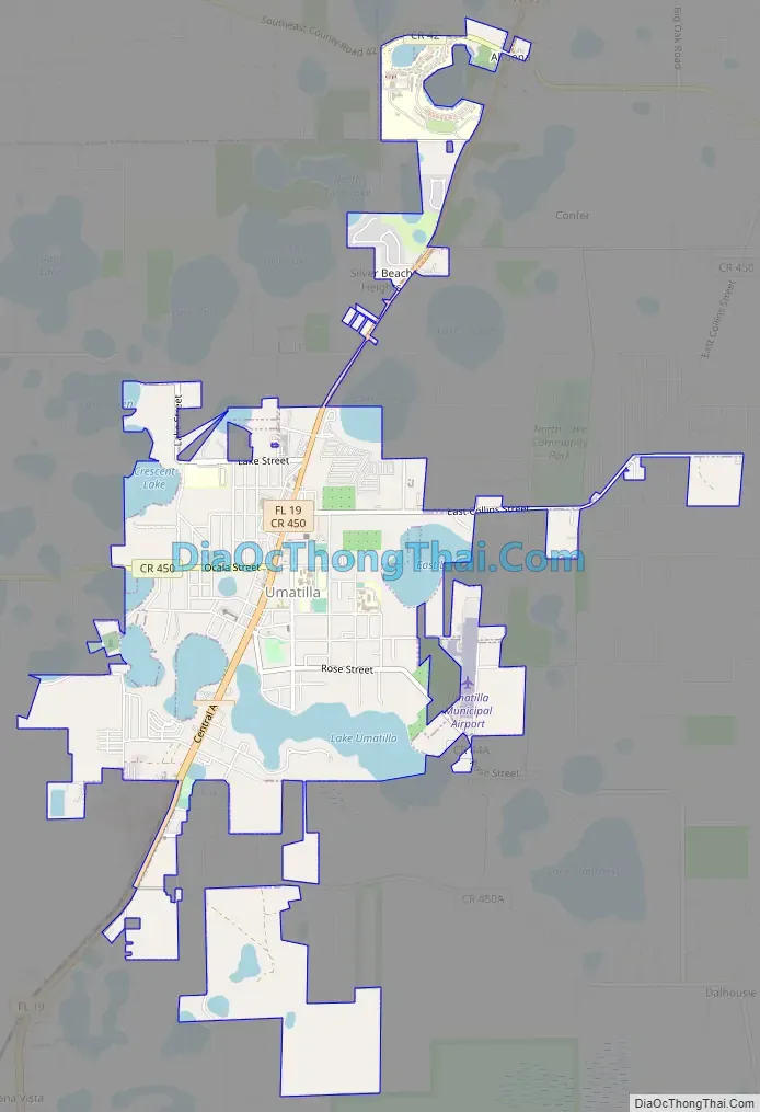
Umatilla Road Map
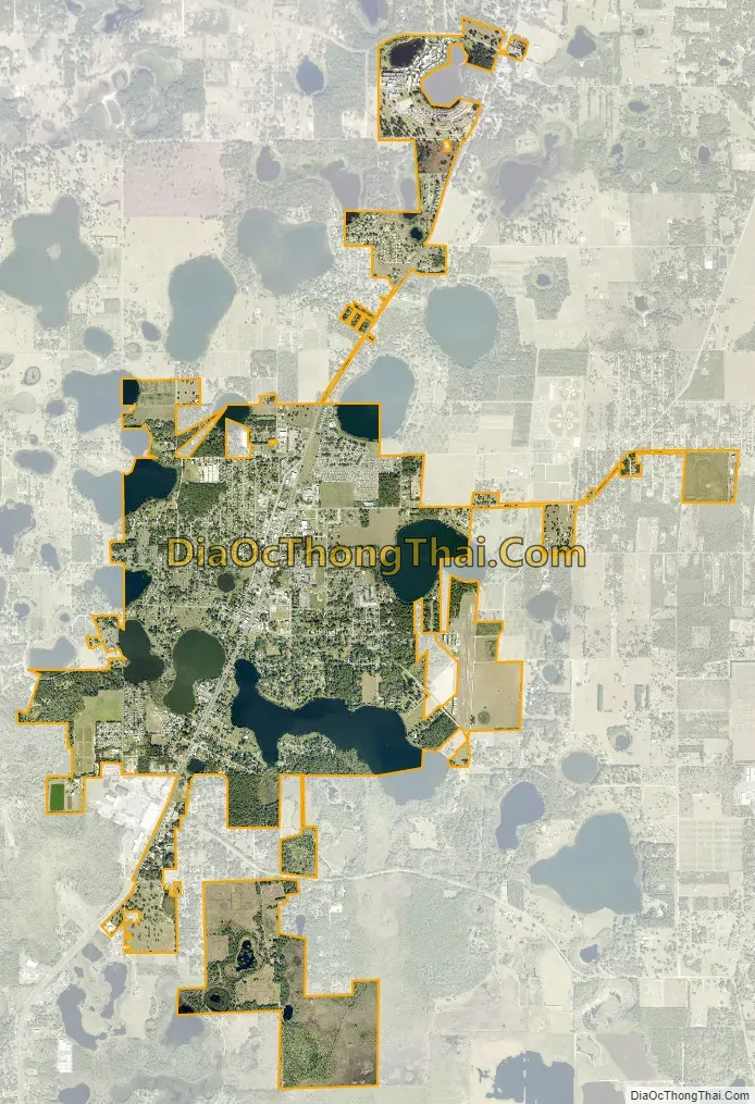
Umatilla city Satellite Map
Geography
Umatilla is in northern Lake County at 28°55′59″N 81°39′52″W / 28.93306°N 81.66444°W / 28.93306; -81.66444 (28.933134, –81.664430). Florida State Road 19 passes through the center of town, leading south 11 miles (18 km) to Tavares, the county seat, and north 58 miles (93 km) through the Ocala National Forest to Palatka. Umatilla is 38 miles (61 km) northwest of Orlando and 49 miles (79 km) southwest of Daytona Beach.
According to the United States Census Bureau, the city has a total area of 4.2 square miles (11.0 km), of which 3.6 square miles (9.3 km) are land and 0.69 square miles (1.8 km), or 16.00%, are water.
See also
Map of Florida State and its subdivision:- Alachua
- Baker
- Bay
- Bradford
- Brevard
- Broward
- Calhoun
- Charlotte
- Citrus
- Clay
- Collier
- Columbia
- Desoto
- Dixie
- Duval
- Escambia
- Flagler
- Franklin
- Gadsden
- Gilchrist
- Glades
- Gulf
- Hamilton
- Hardee
- Hendry
- Hernando
- Highlands
- Hillsborough
- Holmes
- Indian River
- Jackson
- Jefferson
- Lafayette
- Lake
- Lee
- Leon
- Levy
- Liberty
- Madison
- Manatee
- Marion
- Martin
- Miami-Dade
- Monroe
- Nassau
- Okaloosa
- Okeechobee
- Orange
- Osceola
- Palm Beach
- Pasco
- Pinellas
- Polk
- Putnam
- Saint Johns
- Saint Lucie
- Santa Rosa
- Sarasota
- Seminole
- Sumter
- Suwannee
- Taylor
- Union
- Volusia
- Wakulla
- Walton
- Washington
- Alabama
- Alaska
- Arizona
- Arkansas
- California
- Colorado
- Connecticut
- Delaware
- District of Columbia
- Florida
- Georgia
- Hawaii
- Idaho
- Illinois
- Indiana
- Iowa
- Kansas
- Kentucky
- Louisiana
- Maine
- Maryland
- Massachusetts
- Michigan
- Minnesota
- Mississippi
- Missouri
- Montana
- Nebraska
- Nevada
- New Hampshire
- New Jersey
- New Mexico
- New York
- North Carolina
- North Dakota
- Ohio
- Oklahoma
- Oregon
- Pennsylvania
- Rhode Island
- South Carolina
- South Dakota
- Tennessee
- Texas
- Utah
- Vermont
- Virginia
- Washington
- West Virginia
- Wisconsin
- Wyoming


