Wellington is a village just west of West Palm Beach in Palm Beach County and 66 mi (106 km) north of Miami. As of 2019, the city had a population of 65,398 according to U.S. Census Bureau estimates, making it the most populous village in the state. It is the fifth largest municipality in Palm Beach County by population. Wellington is part of the Miami metropolitan area.
| Name: | Wellington village |
|---|---|
| LSAD Code: | 47 |
| LSAD Description: | village (suffix) |
| State: | Florida |
| County: | Palm Beach County |
| Incorporated: | December 31, 1995 |
| Elevation: | 13 ft (5 m) |
| Land Area: | 44.97 sq mi (116.46 km²) |
| Water Area: | 0.45 sq mi (1.16 km²) .99% |
| Population Density: | 1,370.72/sq mi (529.24/km²) |
| ZIP code: | 33411, 33414, 33449, 33467 |
| Area code: | 561 |
| FIPS code: | 1275812 |
| GNISfeature ID: | 1759737 |
| Website: | http://wellingtonfl.gov/ |
Online Interactive Map
Click on ![]() to view map in "full screen" mode.
to view map in "full screen" mode.
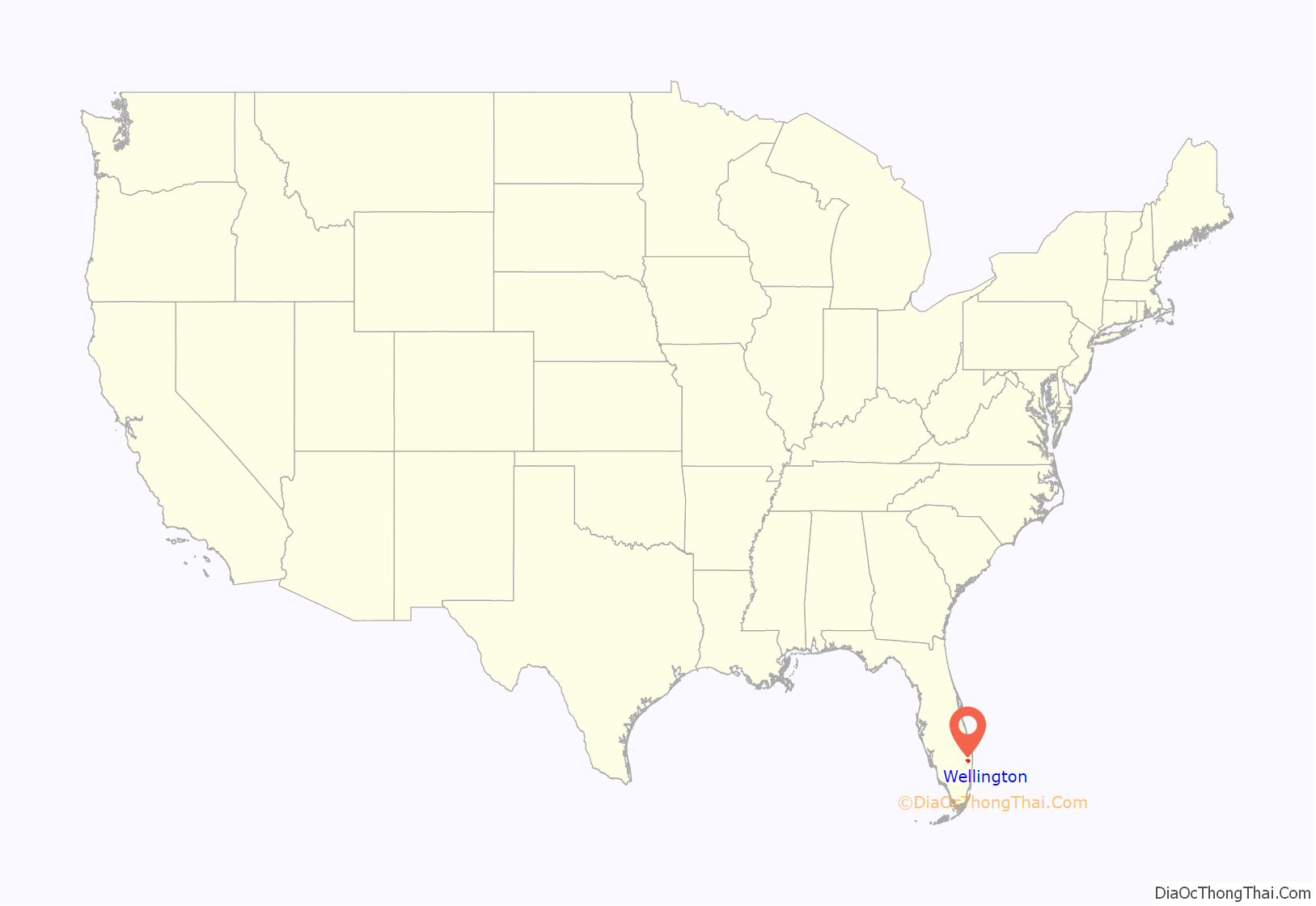
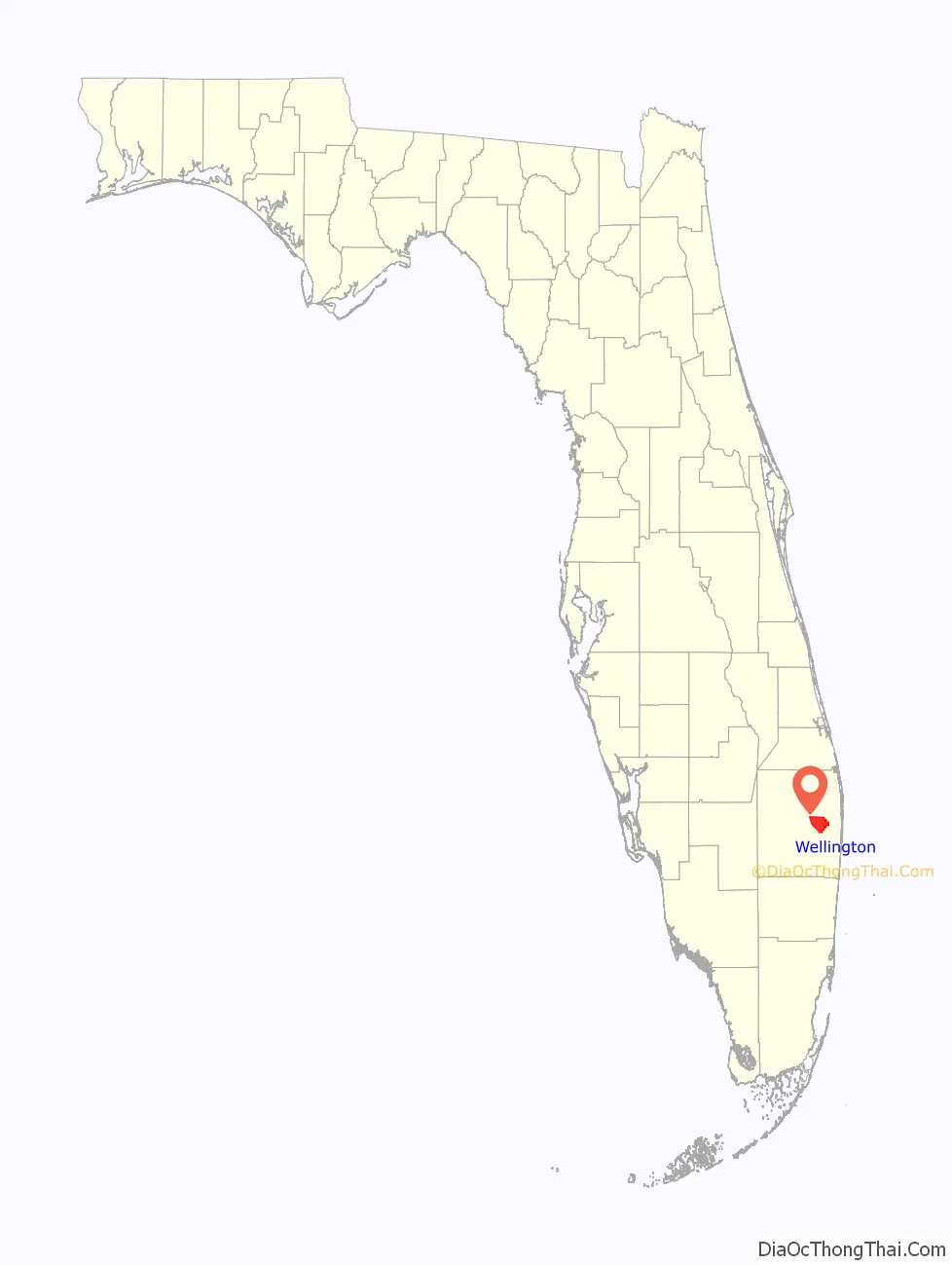
Wellington location map. Where is Wellington village?
History
In the 1950s, Charles Oliver Wellington, an accountant from Massachusetts, purchased about 18,000 acres (73 km) of central Palm Beach County swampland located south of Florida State Road 80 (locally known as Southern Boulevard) and west of U.S. Route 441. Wellington named the property Flying Cow Ranch, due to his other occupation as an aviator and his initials spelling the word “cow”. The ranch became protected against floodwaters from the Everglades after the United States Army Corps of Engineers constructed a levee to south of the property between 1952 and 1953. Following his death in 1959, his son Roger inherited the property. The family sold 1,200 acres (4.9 km) at $300 per acre to Arthur William “Bink” Glisson, Charles’ agent. Glisson sold the land for $1,000 per acre within the following several months. Many other farmers began purchasing or leasing portions of the Flying Cow Ranch in the 1960s. About 2,000 acres (8.1 km) were used for growing strawberries at one point, which was claimed to be the largest strawberry patch in the world.
After Roger Wellington sold 7,200 acres (29 km) of land to developer Jim Nall of Fort Lauderdale in 1972, the Palm Beach County Board of Commissioners unanimously approved a proposal by the Acme Drainage District for the area to become a planned unit development. Among the first projects included the development of 150 acre (0.61 km) Lake Wellington and the construction of a golf course, a country club, and residential neighborhoods. Following acquisition of the project in the late 1970s by Gould Florida Inc., the company built the International Polo Club Palm Beach and the Aero Club, a neighborhood with a private airpark. The area’s first official population count occurred during the 1980 Census, when Wellington was defined as a Census-designated place. A total of 4,622 people lived there at the time. Wellington functioned as a sprawling bedroom community with few shopping centers or restaurants until the 1990s.
A vote for incorporation of the village of Wellington was held on November 7, 1995, with 3,851 votes in support and 3,713 votes in opposition, a margin of just 138 votes. Wellington officially became a village on December 31, 1995, as a state revenue sharing program required it to exist in 1995 in order to be eligible for funding in 1996. The village became Palm Beach County’s 38th municipality and the ninth most populous city in the county at the time, with approximately 28,000 residents. The first village council elections were held on March 12, 1996. None of the candidates for any of the five seats secured a majority of the votes, forcing runoffs to be held on March 26. The first elected village council members were Paul Adams, Michael McDonough, Tom Wenham, Carmine Priore, and Kathy Foster. Two days later, the council held its first meeting and selected Foster for mayor, Priore for vice mayor, and Colin Baenziger for village manager.
It has now become known as an international center for equestrian sports.
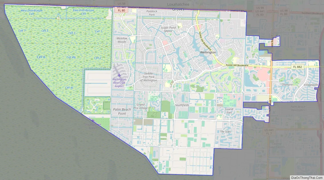
Wellington Road Map
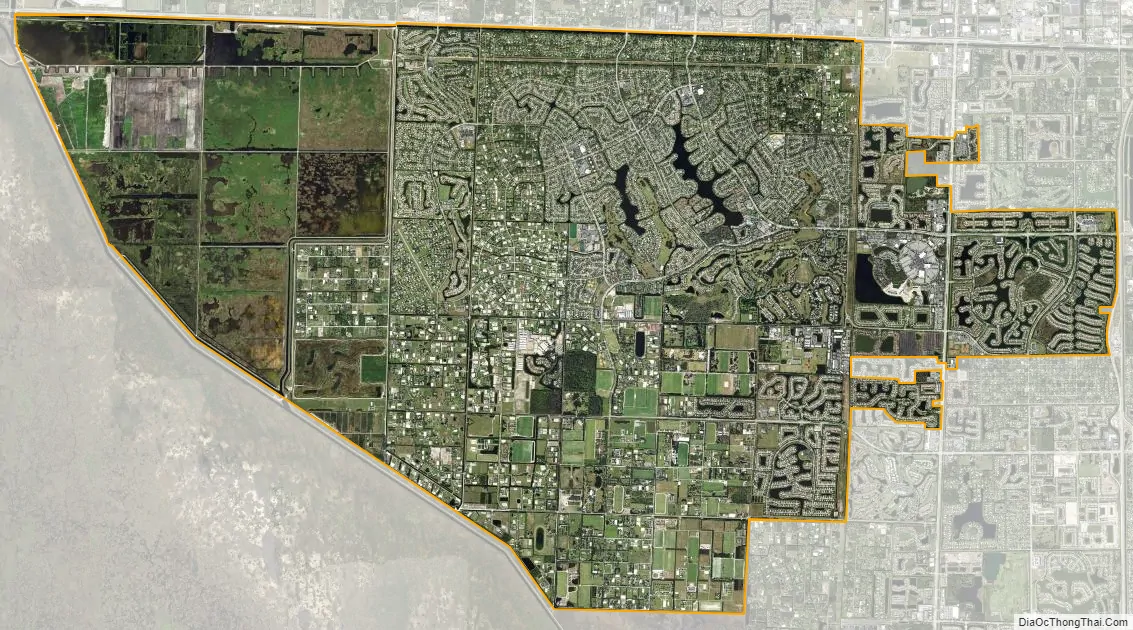
Wellington city Satellite Map
Geography
According to the United States Census Bureau, the village has a total area of 31.4 square miles (81 km), of which 31.0 square miles (80 km) is land and 0.3 square miles (0.78 km) is water (0.99%).
Climate
As typical in Palm Beach County and South Florida, Wellington has a tropical climate, with two main seasons: warm and dry and hot and wet.
Winters are mild to warm and humidity levels are relatively low. During the coolest month, January, average high temperatures are around 75 °F (24 °C) and lows around 55 °F (13 °C). It is not unusual though for winter temperatures to reach 83 °F (28 °C).
Summertime is rainy season in South Florida and humidity levels increase dramatically. During the hottest month, July, high temperatures are around 92 °F (33 °C) with lows around 75 °F (24 °C). South Florida is vulnerable to hurricanes at this time of year.
See also
Map of Florida State and its subdivision:- Alachua
- Baker
- Bay
- Bradford
- Brevard
- Broward
- Calhoun
- Charlotte
- Citrus
- Clay
- Collier
- Columbia
- Desoto
- Dixie
- Duval
- Escambia
- Flagler
- Franklin
- Gadsden
- Gilchrist
- Glades
- Gulf
- Hamilton
- Hardee
- Hendry
- Hernando
- Highlands
- Hillsborough
- Holmes
- Indian River
- Jackson
- Jefferson
- Lafayette
- Lake
- Lee
- Leon
- Levy
- Liberty
- Madison
- Manatee
- Marion
- Martin
- Miami-Dade
- Monroe
- Nassau
- Okaloosa
- Okeechobee
- Orange
- Osceola
- Palm Beach
- Pasco
- Pinellas
- Polk
- Putnam
- Saint Johns
- Saint Lucie
- Santa Rosa
- Sarasota
- Seminole
- Sumter
- Suwannee
- Taylor
- Union
- Volusia
- Wakulla
- Walton
- Washington
- Alabama
- Alaska
- Arizona
- Arkansas
- California
- Colorado
- Connecticut
- Delaware
- District of Columbia
- Florida
- Georgia
- Hawaii
- Idaho
- Illinois
- Indiana
- Iowa
- Kansas
- Kentucky
- Louisiana
- Maine
- Maryland
- Massachusetts
- Michigan
- Minnesota
- Mississippi
- Missouri
- Montana
- Nebraska
- Nevada
- New Hampshire
- New Jersey
- New Mexico
- New York
- North Carolina
- North Dakota
- Ohio
- Oklahoma
- Oregon
- Pennsylvania
- Rhode Island
- South Carolina
- South Dakota
- Tennessee
- Texas
- Utah
- Vermont
- Virginia
- Washington
- West Virginia
- Wisconsin
- Wyoming


