West Park, officially the City of West Park, is a municipality in Broward County, Florida, United States. It was created on March 1, 2005. It is located in the southeastern part of the county and consists of the neighborhoods of Carver Ranches, Lake Forest, Miami Gardens (Broward County), and Utopia. A large portion of the city lies west of the town of Pembroke Park, so the new city was called “West Park”. The city has a population of 15,130 as of the 2020 census. The city is bordered by Miami-Dade County on the south, Pembroke Park on the east, Hollywood on the north and Miramar on the west.
| Name: | West Park city |
|---|---|
| LSAD Code: | 25 |
| LSAD Description: | city (suffix) |
| State: | Florida |
| County: | Broward County |
| Incorporated: | March 1, 2005 |
| Total Area: | 2.26 sq mi (5.86 km²) |
| Land Area: | 2.20 sq mi (5.69 km²) |
| Water Area: | 0.06 sq mi (0.17 km²) 2.85% |
| Total Population: | 15,130 |
| Population Density: | 6,700/sq mi (2,600/km²) |
| ZIP code: | 33021-33023, 33009 |
| Area code: | 754, 954 |
| FIPS code: | 1276658 |
| GNISfeature ID: | 2062996 |
| Website: | www.cityofwestpark.org |
Online Interactive Map
Click on ![]() to view map in "full screen" mode.
to view map in "full screen" mode.
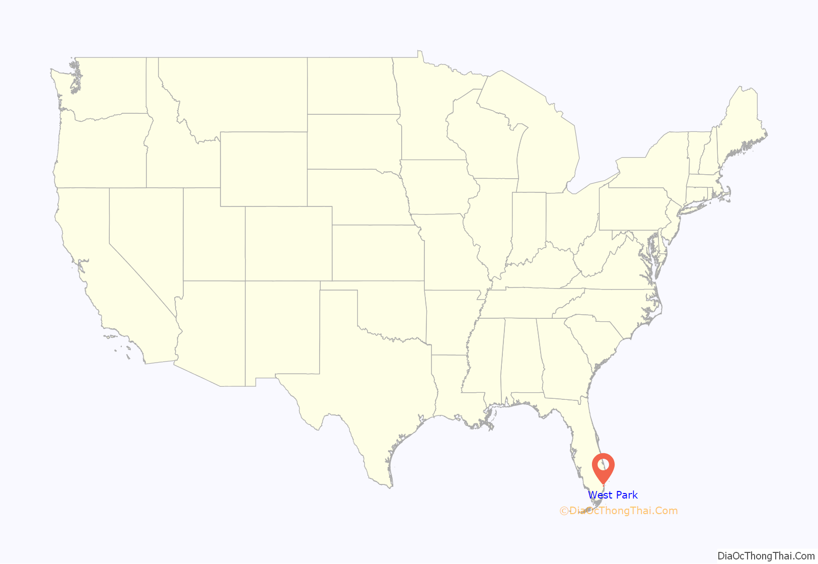
West Park location map. Where is West Park city?
History
The previously unincorporated neighborhoods of West Park embarked on the road to incorporation in 2004, after the Florida Legislature approved House Bill 1491, which provided for an election on November 2, 2004. Following a vote of 3,400 to 956 for incorporation, West Park was on its way to becoming Broward County’s 31st city. After the election, residents elected an interim transition committee and held a series of workshops to gain input on the level of municipal-type services to be provided. It was decided that the new municipality would be known as West Park until a consensus was reached on a permanent name; this name was subsequently retained. On March 8, 2005, Eric H. Jones, Jr., was elected Mayor and four Commissioners were elected: Felicia M. Brunson, Thomas W. Dorsett, Sharon Fyffe and Rita “Peaches” Mack. They were sworn-in as the municipality’s first elected leaders on March 10, 2005.
In 2011 West Park, received acknowledgement from the national non-profit organization KaBOOM! As the city garnered the designation of a 2011 Playful City USA community. This recognition was given the city’s effort to “increase play opportunities for children”.
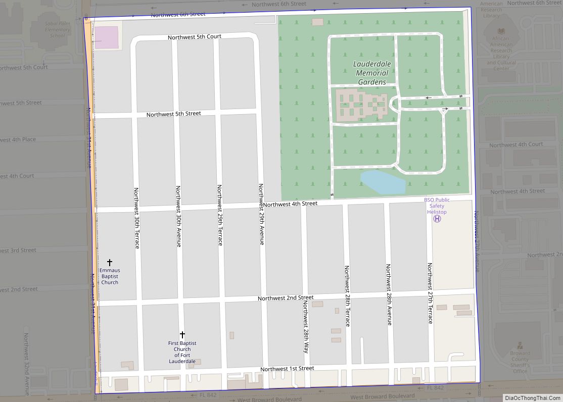
West Park Road Map
West Park city Satellite Map
See also
Map of Florida State and its subdivision:- Alachua
- Baker
- Bay
- Bradford
- Brevard
- Broward
- Calhoun
- Charlotte
- Citrus
- Clay
- Collier
- Columbia
- Desoto
- Dixie
- Duval
- Escambia
- Flagler
- Franklin
- Gadsden
- Gilchrist
- Glades
- Gulf
- Hamilton
- Hardee
- Hendry
- Hernando
- Highlands
- Hillsborough
- Holmes
- Indian River
- Jackson
- Jefferson
- Lafayette
- Lake
- Lee
- Leon
- Levy
- Liberty
- Madison
- Manatee
- Marion
- Martin
- Miami-Dade
- Monroe
- Nassau
- Okaloosa
- Okeechobee
- Orange
- Osceola
- Palm Beach
- Pasco
- Pinellas
- Polk
- Putnam
- Saint Johns
- Saint Lucie
- Santa Rosa
- Sarasota
- Seminole
- Sumter
- Suwannee
- Taylor
- Union
- Volusia
- Wakulla
- Walton
- Washington
- Alabama
- Alaska
- Arizona
- Arkansas
- California
- Colorado
- Connecticut
- Delaware
- District of Columbia
- Florida
- Georgia
- Hawaii
- Idaho
- Illinois
- Indiana
- Iowa
- Kansas
- Kentucky
- Louisiana
- Maine
- Maryland
- Massachusetts
- Michigan
- Minnesota
- Mississippi
- Missouri
- Montana
- Nebraska
- Nevada
- New Hampshire
- New Jersey
- New Mexico
- New York
- North Carolina
- North Dakota
- Ohio
- Oklahoma
- Oregon
- Pennsylvania
- Rhode Island
- South Carolina
- South Dakota
- Tennessee
- Texas
- Utah
- Vermont
- Virginia
- Washington
- West Virginia
- Wisconsin
- Wyoming
