Yeehaw Junction is a census-designated place (CDP) in Osceola County, Florida, United States. As of the 2010 census, it had a population of 240. The area was confused with Buenaventura Lakes CDP in the 2000 census, and the correct data for the area was not recorded.
Yeehaw Junction is part of the Orlando–Kissimmee Metropolitan Statistical Area. The Destiny development is planned nearby.
| Name: | Yeehaw Junction CDP |
|---|---|
| LSAD Code: | 57 |
| LSAD Description: | CDP (suffix) |
| State: | Florida |
| County: | Osceola County |
| Elevation: | 49 ft (15 m) |
| Total Area: | 1.88 sq mi (4.87 km²) |
| Land Area: | 1.87 sq mi (4.84 km²) |
| Water Area: | 0.01 sq mi (0.03 km²) |
| Total Population: | 240 |
| Population Density: | 125.67/sq mi (48.52/km²) |
| ZIP code: | 34972 |
| Area code: | 321 |
| FIPS code: | 1278975 |
| GNISfeature ID: | 2403047 |
Online Interactive Map
Click on ![]() to view map in "full screen" mode.
to view map in "full screen" mode.
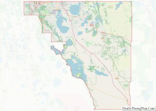
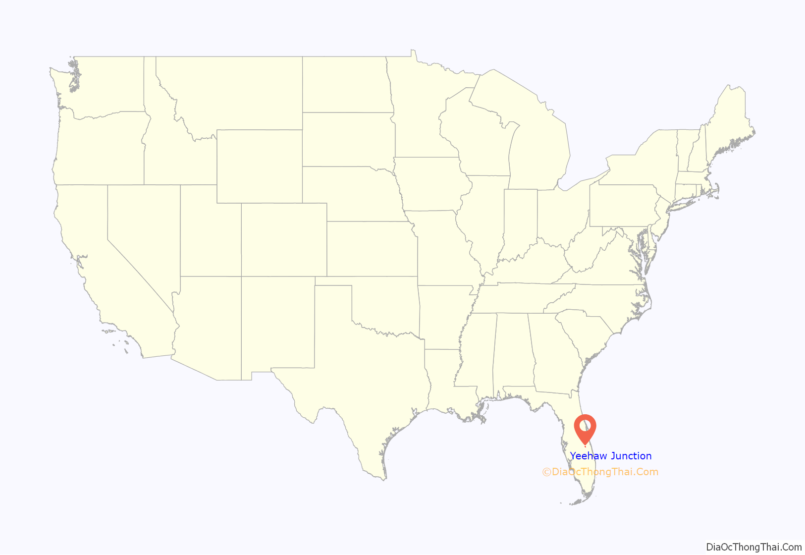
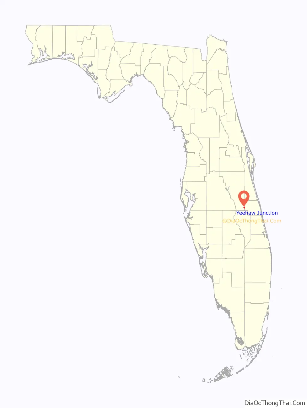
Yeehaw Junction location map. Where is Yeehaw Junction CDP?
History
Some say the community’s name comes from the fact locals would yell “Yeehaw!”, while others believe the name is derived from the Creek language word meaning “wolf”. According to town historians and several original newspaper articles that are displayed at the Desert Inn and Restaurant, the town was originally named “Jackass Junction” or “Jackass Crossing”. This name was given to the four-corner site back in the early 1930s, when local ranchers rode on burros to visit the Desert Inn (then the local brothel). As the 1950s approached, the Florida legislature felt that a name change was due in light of the construction of Florida’s Turnpike through the center of the community in 1957, resulting in renaming the town to its present-day name.
Biological warfare experiment
In late 1968 the Deseret Test Center conducted a biological warfare experiment at Yeehaw Junction. The experiment was part of Project 112 and was labelled DTC Test 69–75. Stem rust, referred to as “Agent TX”, was tested to determine its effectiveness against a wheat crop in time of war. The tests were conducted over a period of one month from October 31 to December 1, 1968. Live agent was sprayed by a U.S. Air Force McDonnell Douglas F-4 Phantom fighter jet on seven occasions and dead agent, consisting of spores that were killed by a gaseous mixture of ethylene oxide, was sprayed on four occasions. The stated objective of Deseret Test Center (DTC) Test 69-75 was to investigate the effectiveness of the F-4/A/B and 45Y-2/TX weapon systems to reduce Soviet wheat crop yields in selected geographic areas. The objective was subdivided into other tasks: determine the downwind travel of Agent TX released from the A/B 45Y-2 spray tank, estimate the yield reduction and loss of wheat crops attacked by the weapon system, study the effectiveness of killed TX as a simulant for Agent TX, and evaluate the adequacy to predict downwind dosages of Agent TX. The tests were unknown to local residents and officials until October 2002 when U.S. senator Bill Nelson demanded details of the tests from the U.S. Department of Defense after knowledge of the test was eventually revealed during a larger congressional inquiry of potential effects on participating veterans of chemical and biological testing. Eglin Air Force Base, Avon Park Air Force Range, Panama City, Belle Glade, and Fort Pierce, were additional sites in Florida of biological agent production and testing.
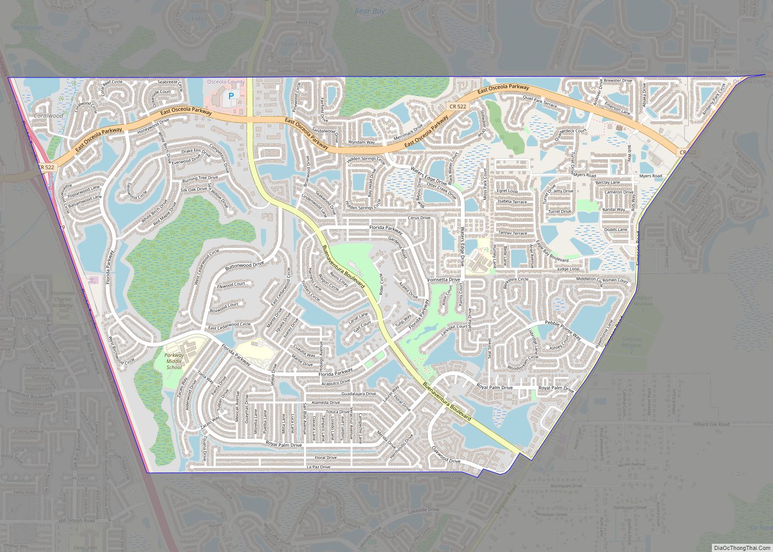
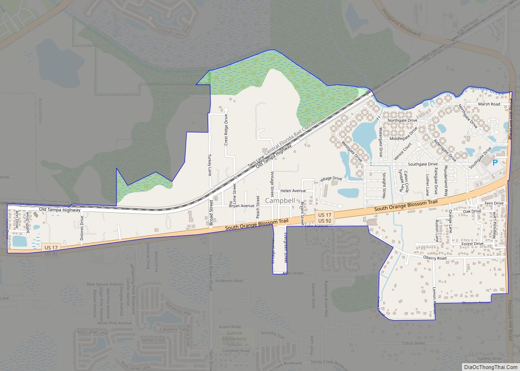
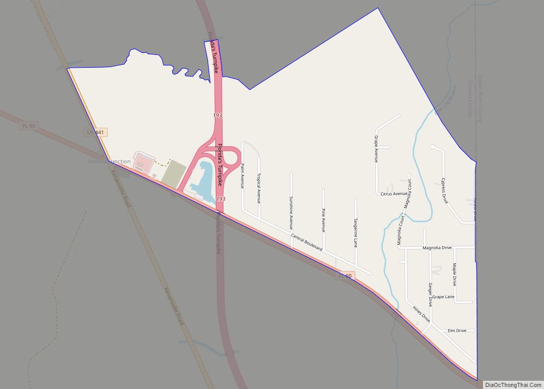
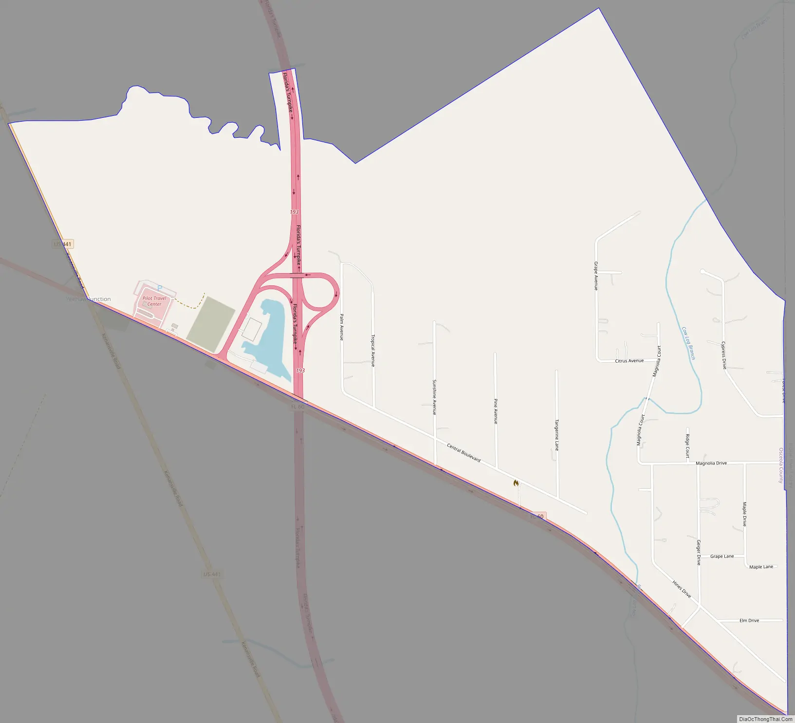
Yeehaw Junction Road Map
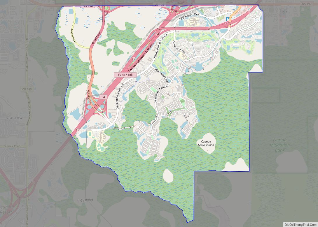
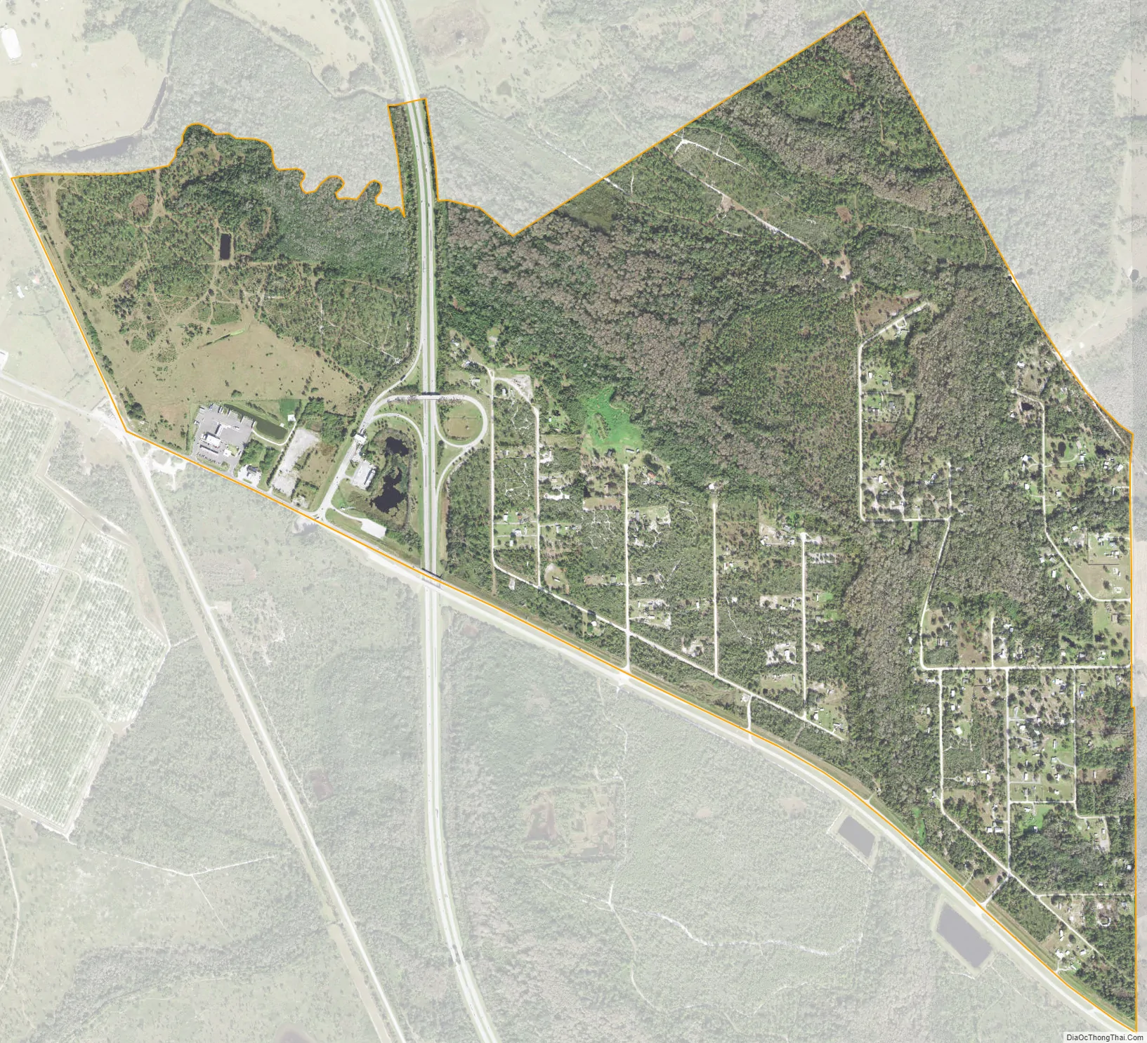
Yeehaw Junction city Satellite Map
Geography
Yeehaw Junction is located at the intersection of US 441/SR 15, SR 60 and Florida’s Turnpike (SR 91), approximately 30 miles (50 km) west of Vero Beach and 30 miles north of Lake Okeechobee. The location was named after the Yeehaw station on the Florida East Coast Railway’s Kissimmee Valley Line, which passed through Yeehaw Junction from 1915 to 1947.
See also
Map of Florida State and its subdivision:- Alachua
- Baker
- Bay
- Bradford
- Brevard
- Broward
- Calhoun
- Charlotte
- Citrus
- Clay
- Collier
- Columbia
- Desoto
- Dixie
- Duval
- Escambia
- Flagler
- Franklin
- Gadsden
- Gilchrist
- Glades
- Gulf
- Hamilton
- Hardee
- Hendry
- Hernando
- Highlands
- Hillsborough
- Holmes
- Indian River
- Jackson
- Jefferson
- Lafayette
- Lake
- Lee
- Leon
- Levy
- Liberty
- Madison
- Manatee
- Marion
- Martin
- Miami-Dade
- Monroe
- Nassau
- Okaloosa
- Okeechobee
- Orange
- Osceola
- Palm Beach
- Pasco
- Pinellas
- Polk
- Putnam
- Saint Johns
- Saint Lucie
- Santa Rosa
- Sarasota
- Seminole
- Sumter
- Suwannee
- Taylor
- Union
- Volusia
- Wakulla
- Walton
- Washington
- Alabama
- Alaska
- Arizona
- Arkansas
- California
- Colorado
- Connecticut
- Delaware
- District of Columbia
- Florida
- Georgia
- Hawaii
- Idaho
- Illinois
- Indiana
- Iowa
- Kansas
- Kentucky
- Louisiana
- Maine
- Maryland
- Massachusetts
- Michigan
- Minnesota
- Mississippi
- Missouri
- Montana
- Nebraska
- Nevada
- New Hampshire
- New Jersey
- New Mexico
- New York
- North Carolina
- North Dakota
- Ohio
- Oklahoma
- Oregon
- Pennsylvania
- Rhode Island
- South Carolina
- South Dakota
- Tennessee
- Texas
- Utah
- Vermont
- Virginia
- Washington
- West Virginia
- Wisconsin
- Wyoming